Uphill
275m
France > Auvergne-Rhône-Alpes > Loire > Pilat Regional Natural Park
Length
9km
Duration
3h
Elev gain
275m
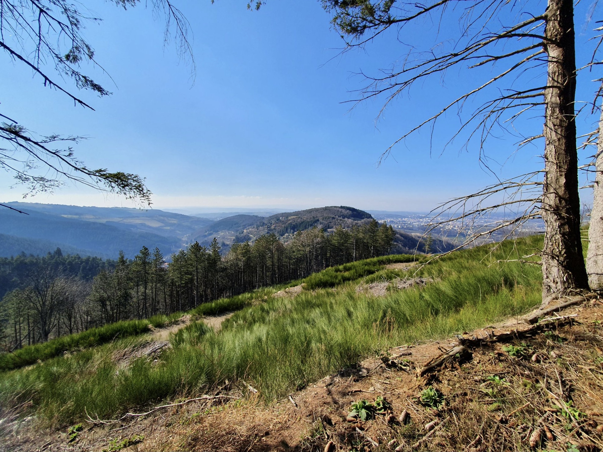
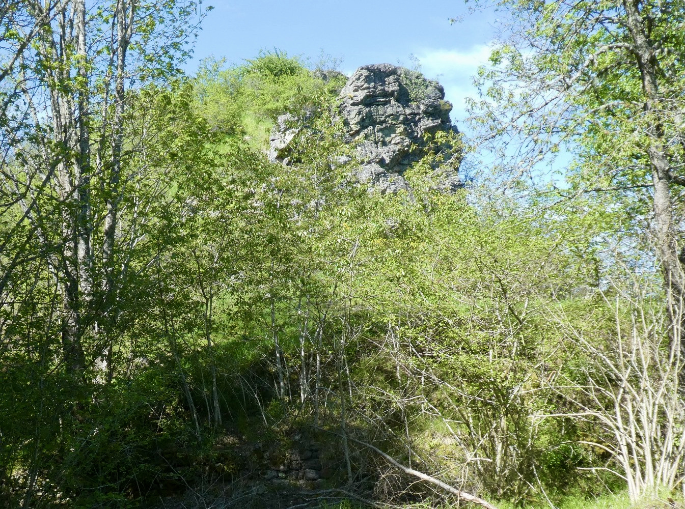
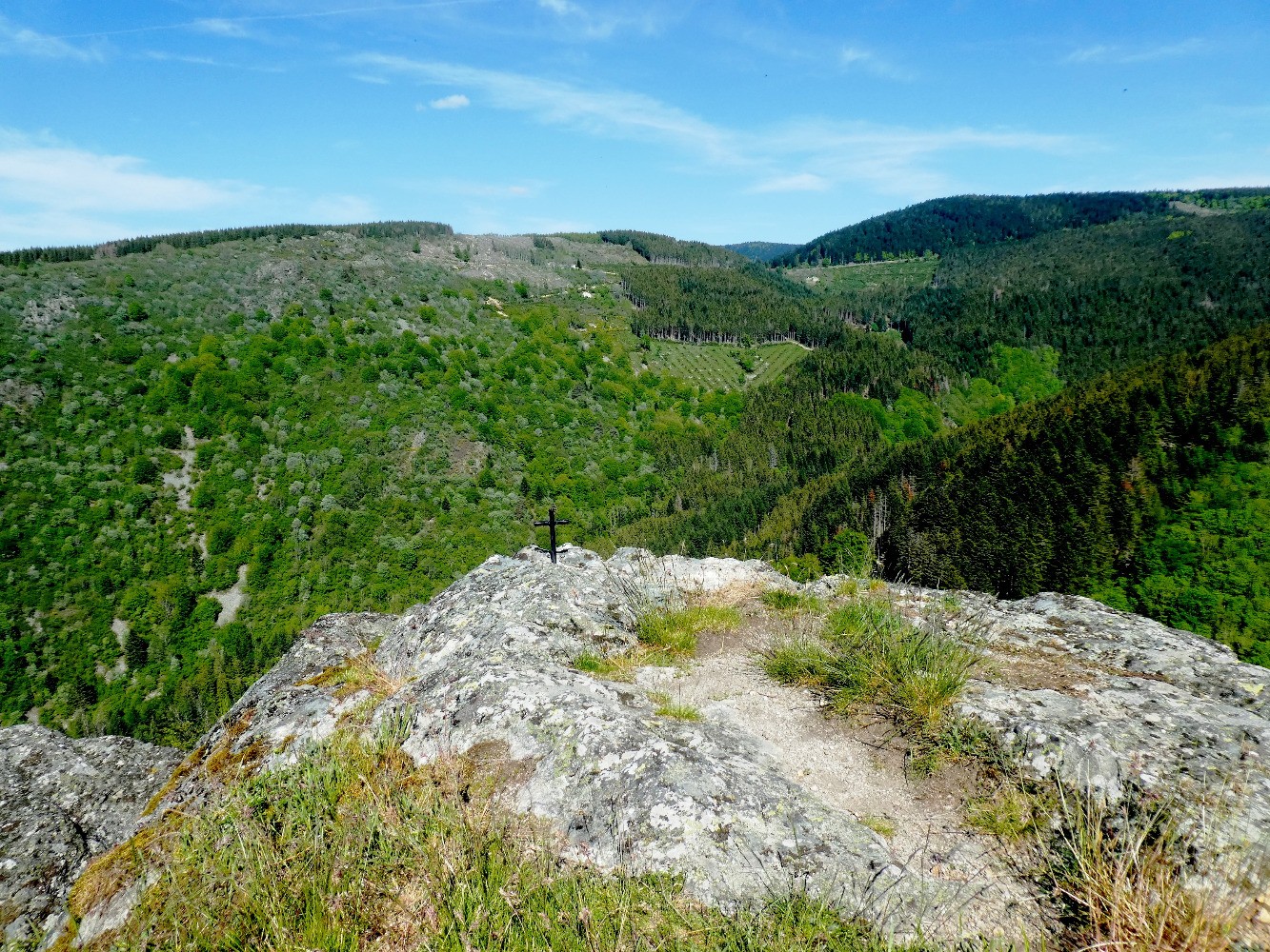
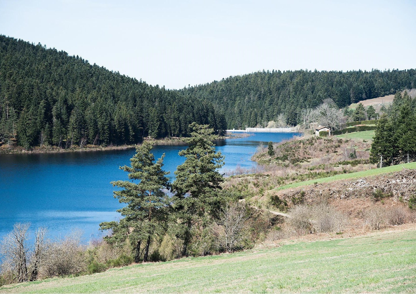
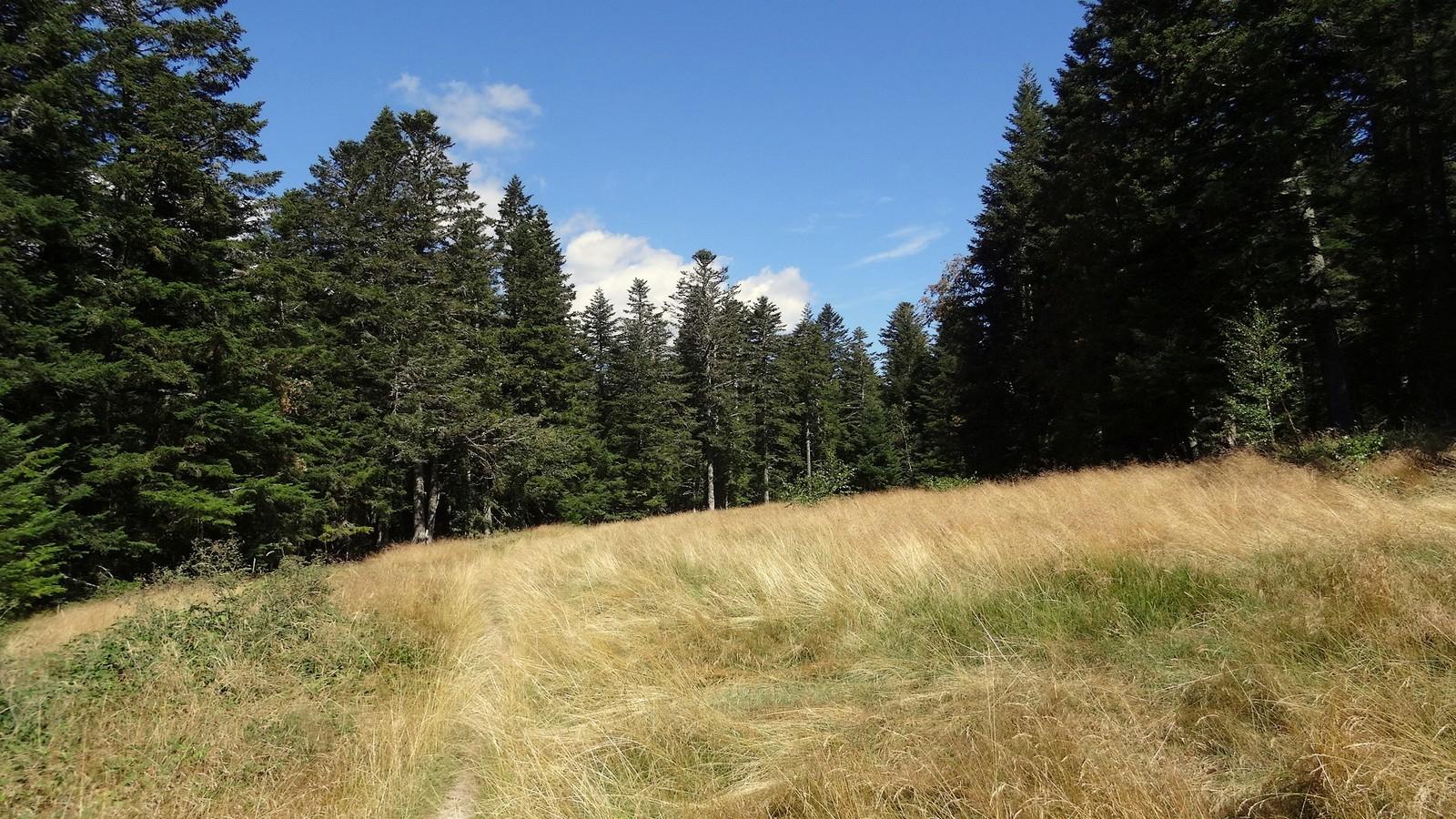
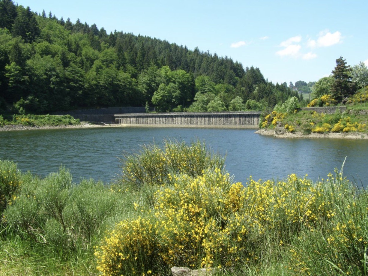
Right outside Saint-Etienne, this trail in the Furan valley mixes lakes, forests and rocks.

Already more than 200,000 users!
Uphill
275m
Highest point
900m
Downhill
275m
Lowest point
697m
Route type
Loop
Download the map on your smartphone to save battery and rest assured to always keep access to the route, even without signal.
Includes IGN France and Swisstopo.
I indicate whether dogs are allowed or prohibited on this trail
Can be difficult in Winter
2 ratings
Also enjoy:

Already more than 200,000 users!