Uphill
97m
France > Auvergne-Rhône-Alpes > Loire > Pilat Regional Natural Park
Length
5km
Duration
1h30min
Elev gain
97m
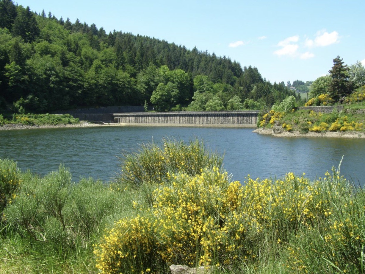
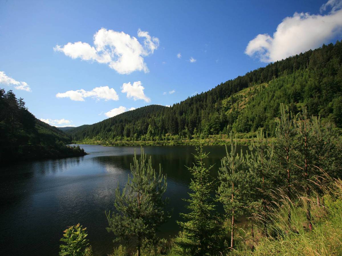
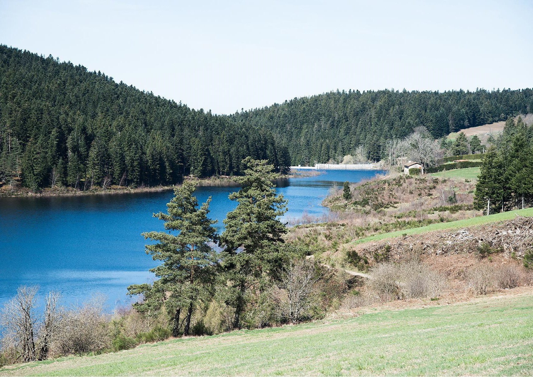
Nice walk near Saint-Genest-Malifaux, around the reservoir of the Plats dam. It is fed by the Semène, and surrounded by fields on one side and a forest on the other.

Already more than 200,000 users!
Uphill
97m
Highest point
948m
Downhill
97m
Lowest point
894m
Route type
Loop
Download the map on your smartphone to save battery and rest assured to always keep access to the route, even without signal.
Includes IGN France and Swisstopo.
Authorised
Can be difficult in Winter
1 rating
Also enjoy:

Already more than 200,000 users!