Uphill
194m
Length
7km
Duration
2h
Elev gain
194m
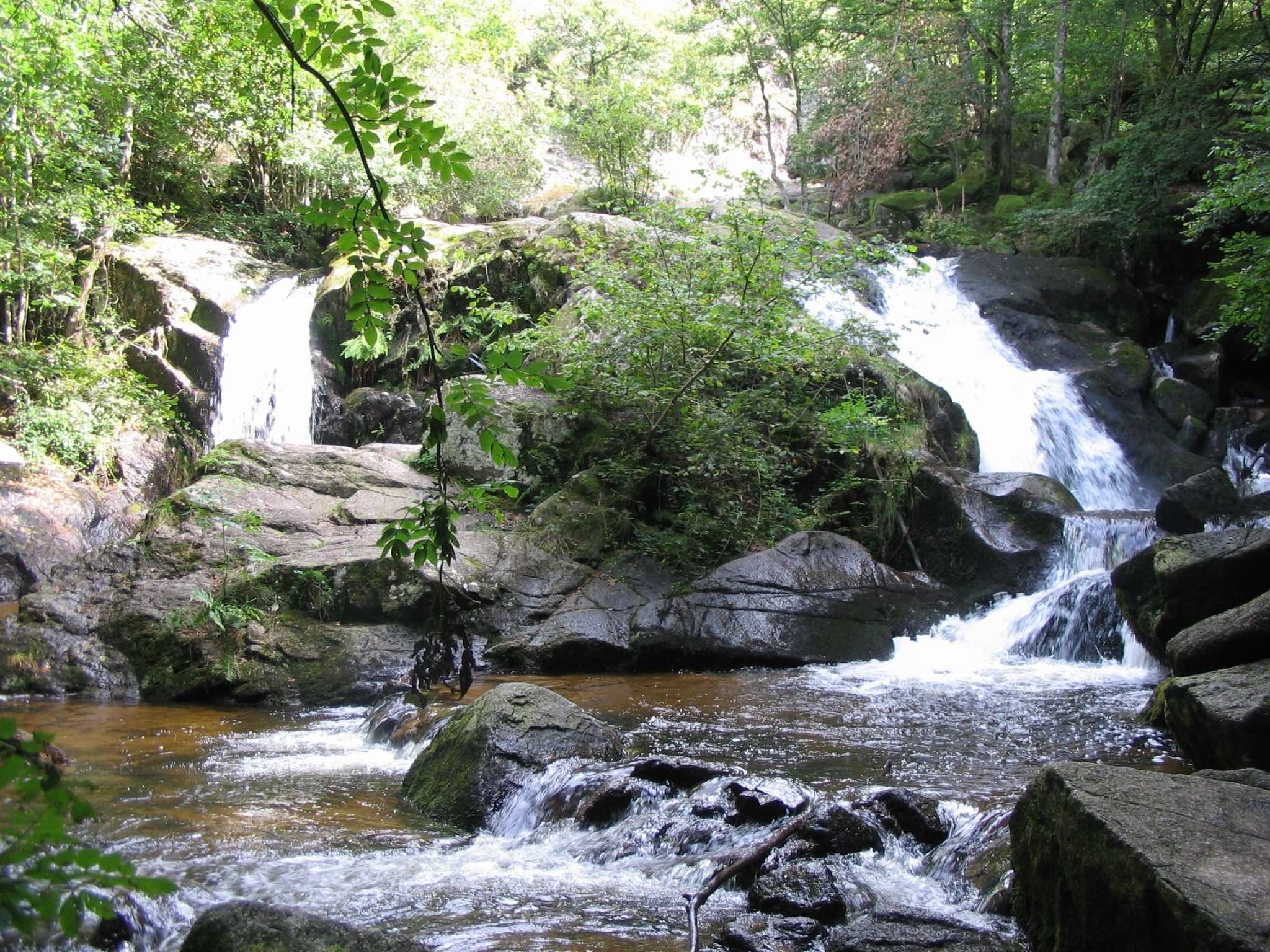
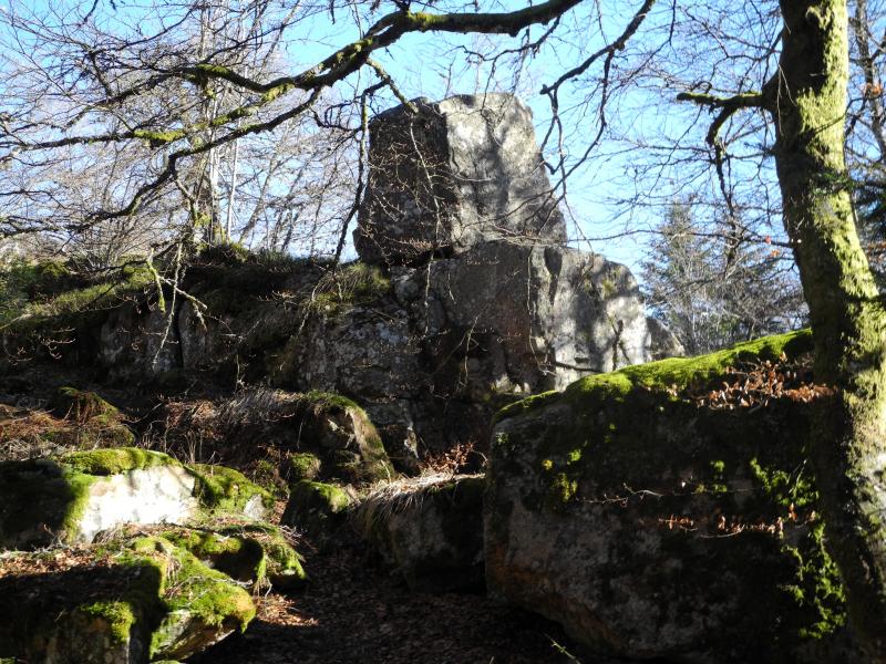
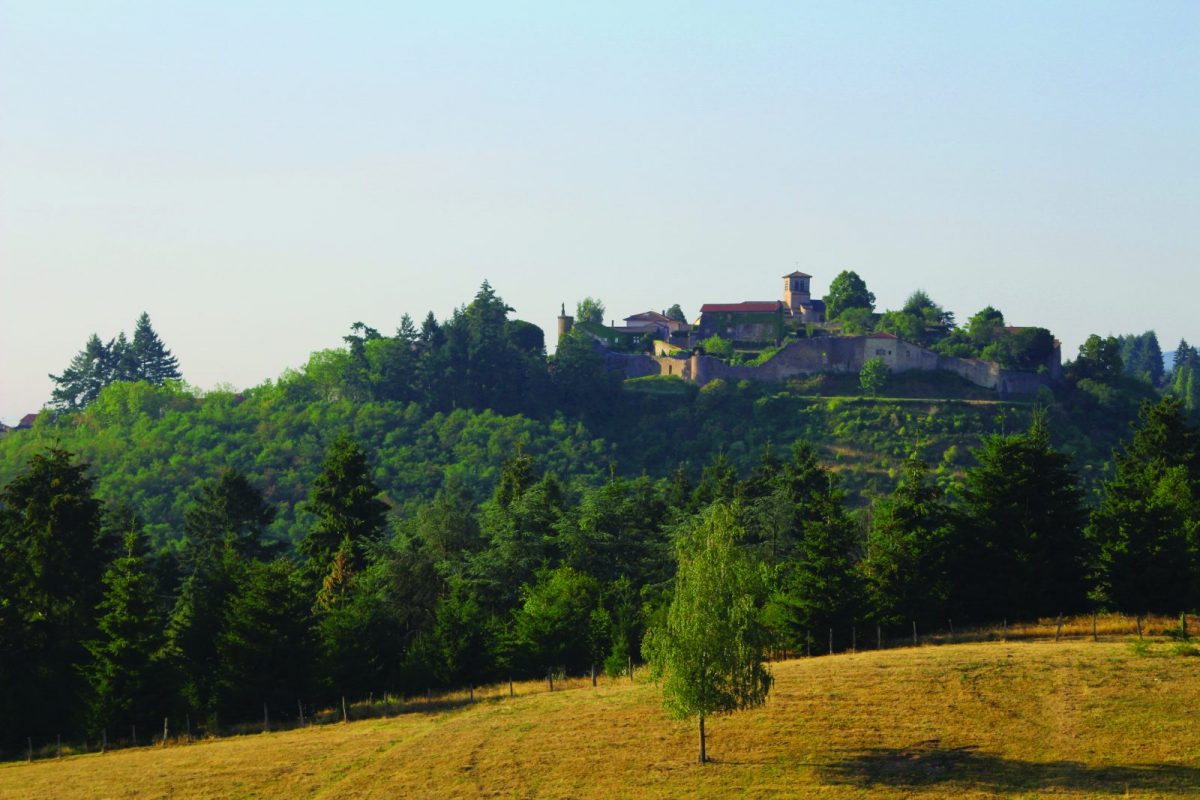
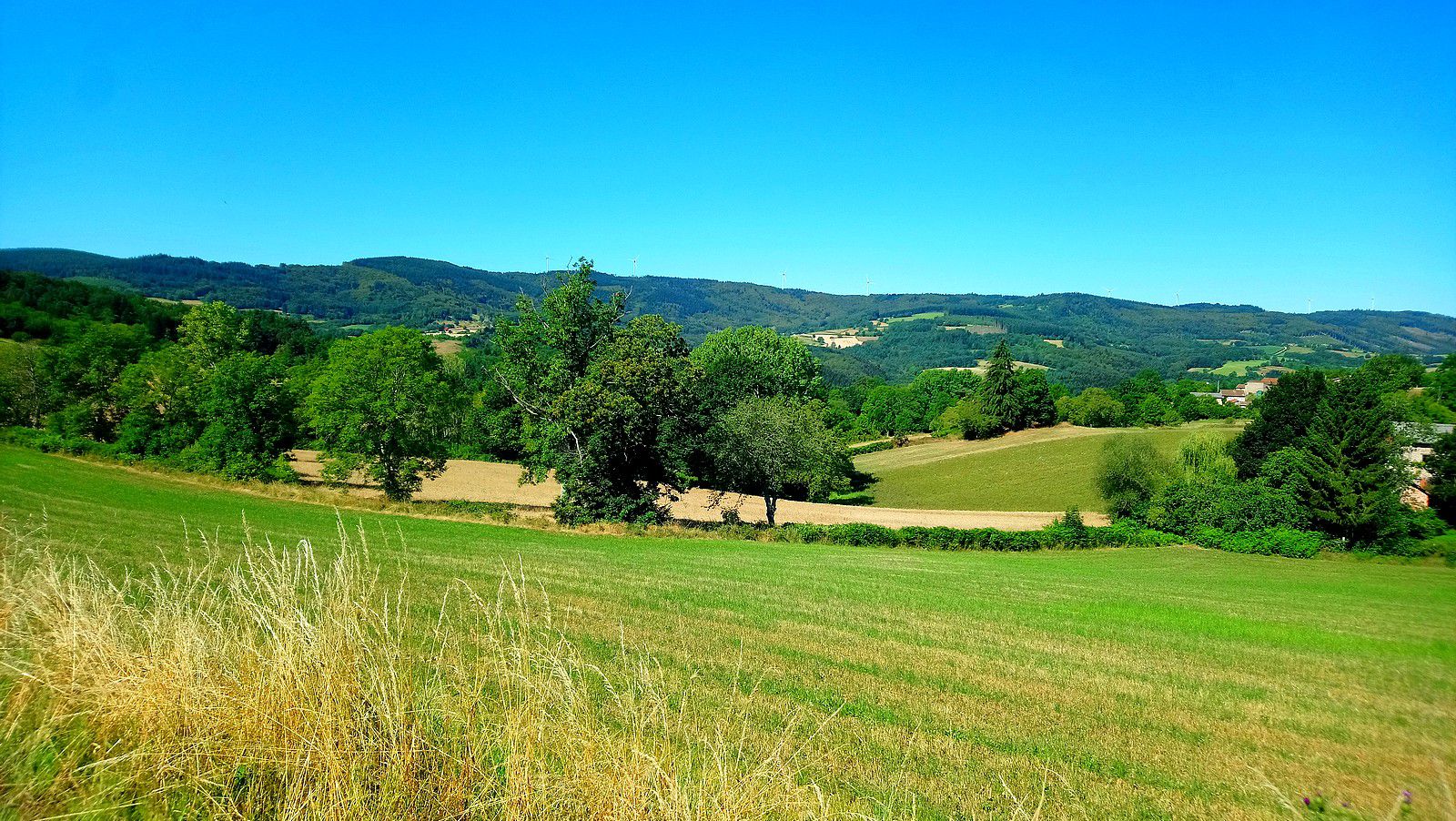
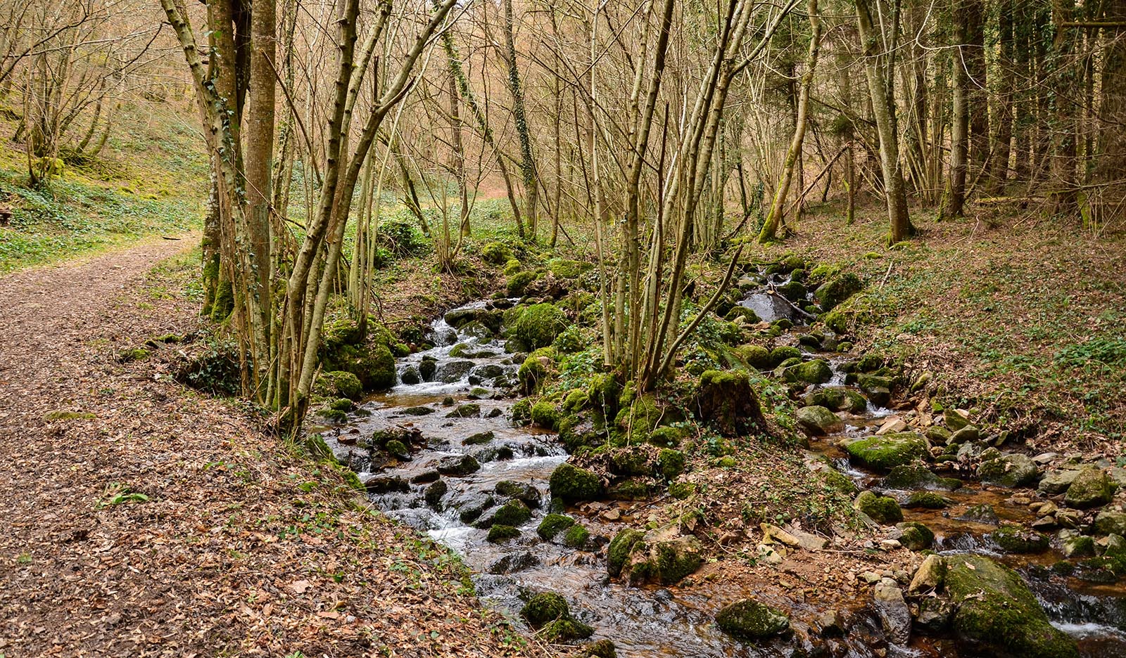
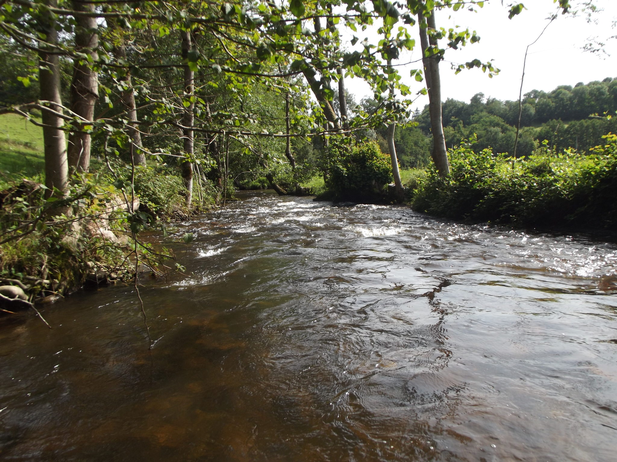
Departing from Arfeuilles, this hike is a true incursion into the Bourbonnaise Mountains. The route winds around the Barbenan and crosses it twice via pretty footbridges.

Already more than 200,000 users!
Uphill
194m
Highest point
553m
Downhill
194m
Lowest point
420m
Route type
Loop
Download the map on your smartphone to save battery and rest assured to always keep access to the route, even without signal.
Includes IGN France and Swisstopo.
I indicate whether dogs are allowed or prohibited on this trail
All year
1 rating
Also enjoy:

Already more than 200,000 users!