Uphill
249m
Length
11km
Duration
3h30min
Elev gain
249m
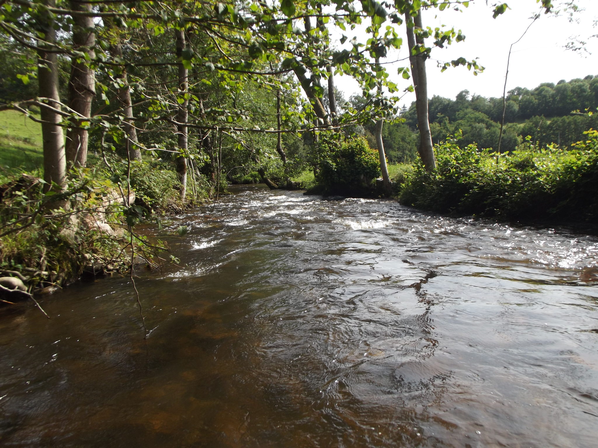
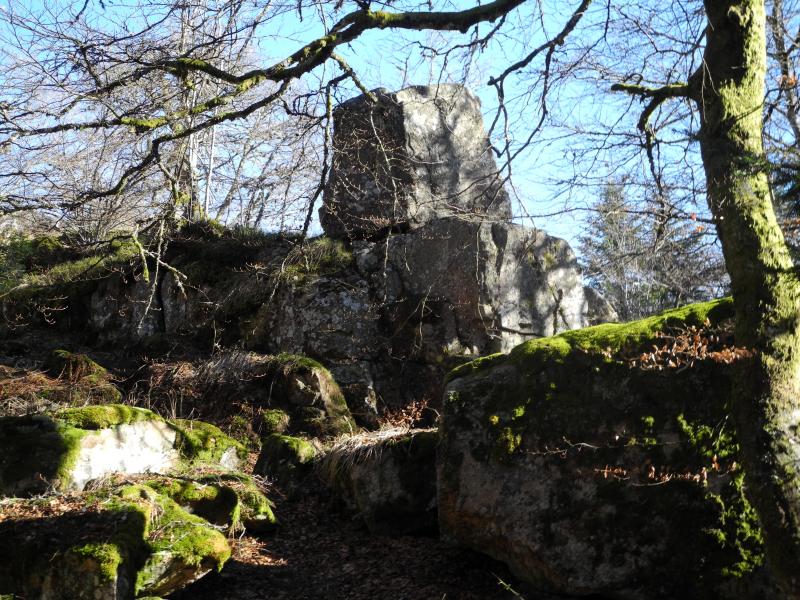
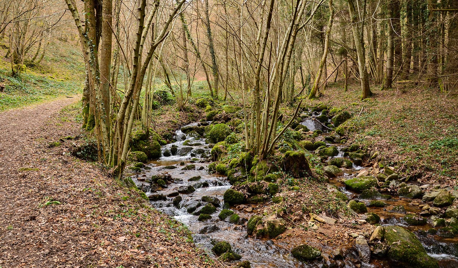
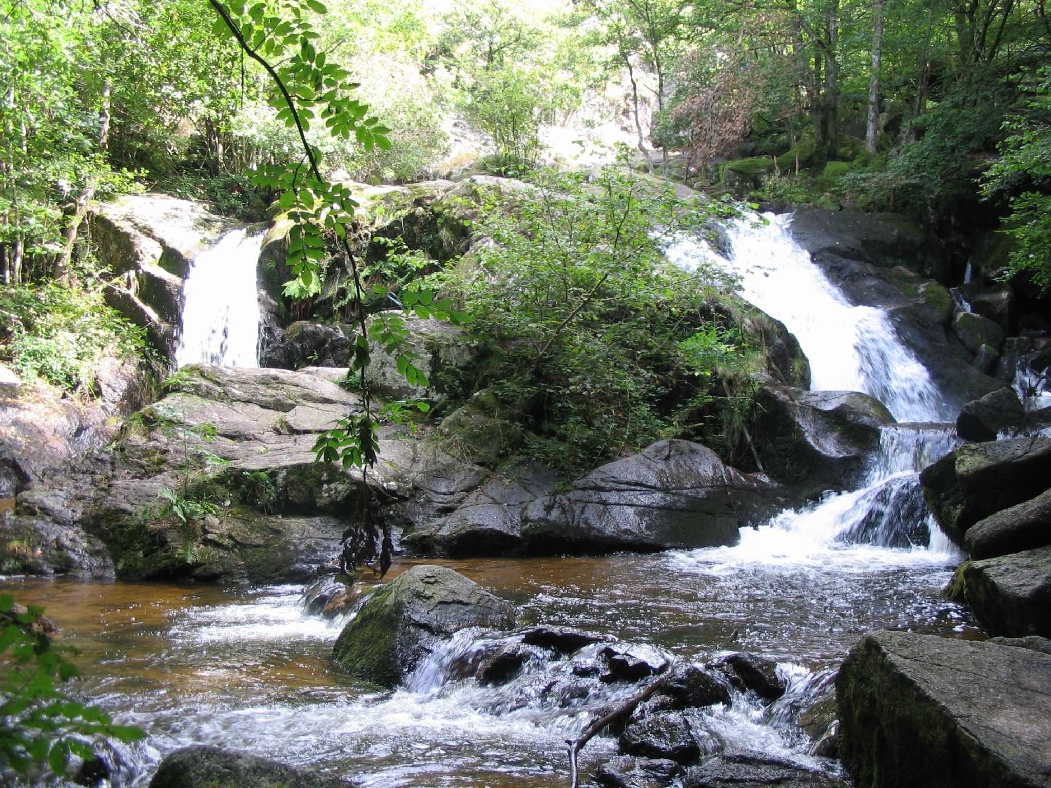
Loop trail to discover the pretty Pisserote waterfall, 64 meters high and located on the course of the Barbenan. The rest of the route alternates between undergrowth and meadows, but unfortunately also takes (small) roads for about 2 kilometers.

Already more than 200,000 users!
Uphill
249m
Highest point
788m
Downhill
249m
Lowest point
598m
Route type
Loop
Download the map on your smartphone to save battery and rest assured to always keep access to the route, even without signal.
Includes IGN France and Swisstopo.
I indicate whether dogs are allowed or prohibited on this trail
All year
1 rating
Superbe randonnée mini b-mol arrivée à la cascade pour trouver la suite du sentier il faut un peu se débrouiller, mais c'est une randonnée sublime 😍
Also enjoy:

Already more than 200,000 users!