Uphill
338m
Length
9km
Duration
3h
Elev gain
338m
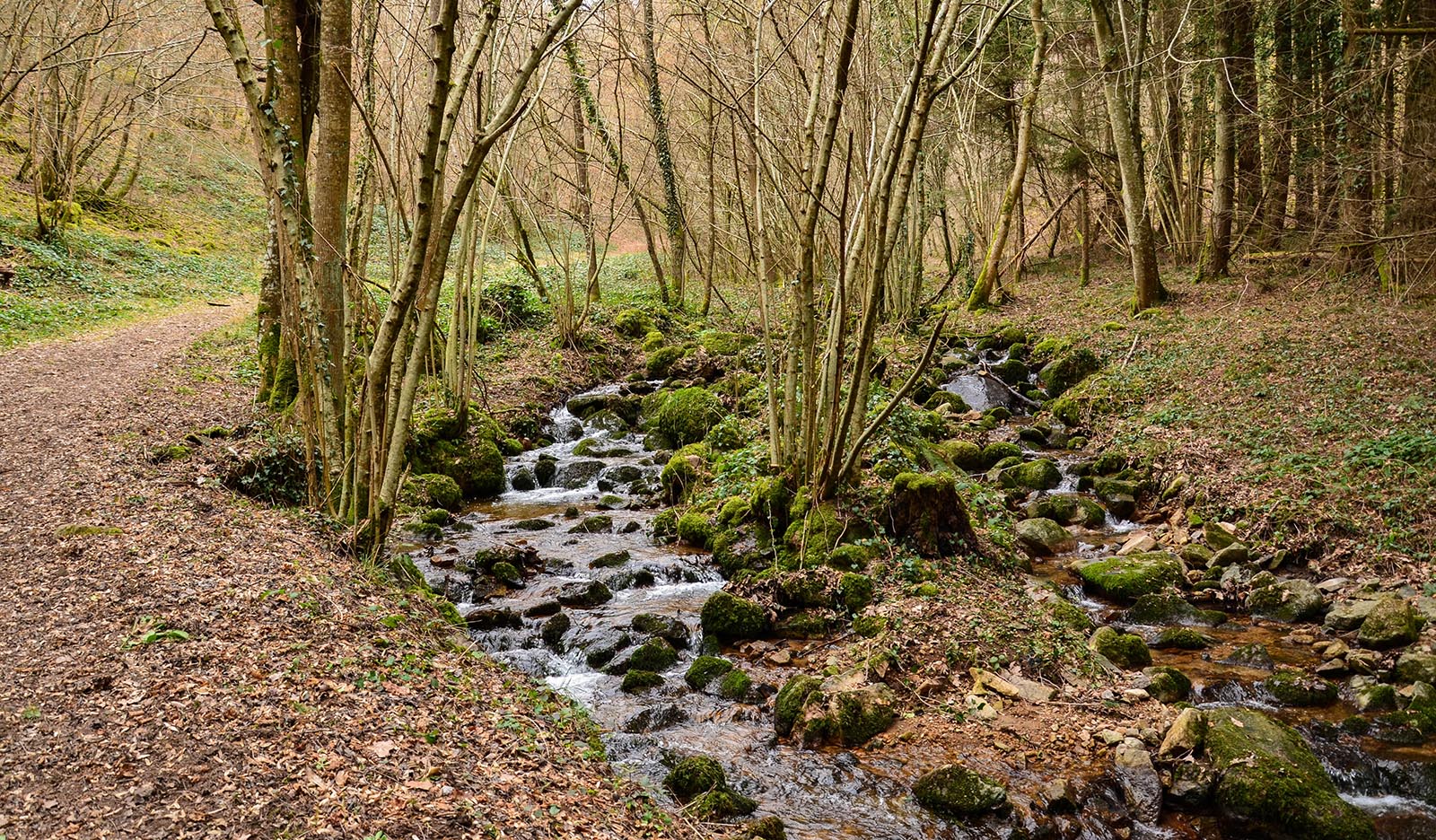
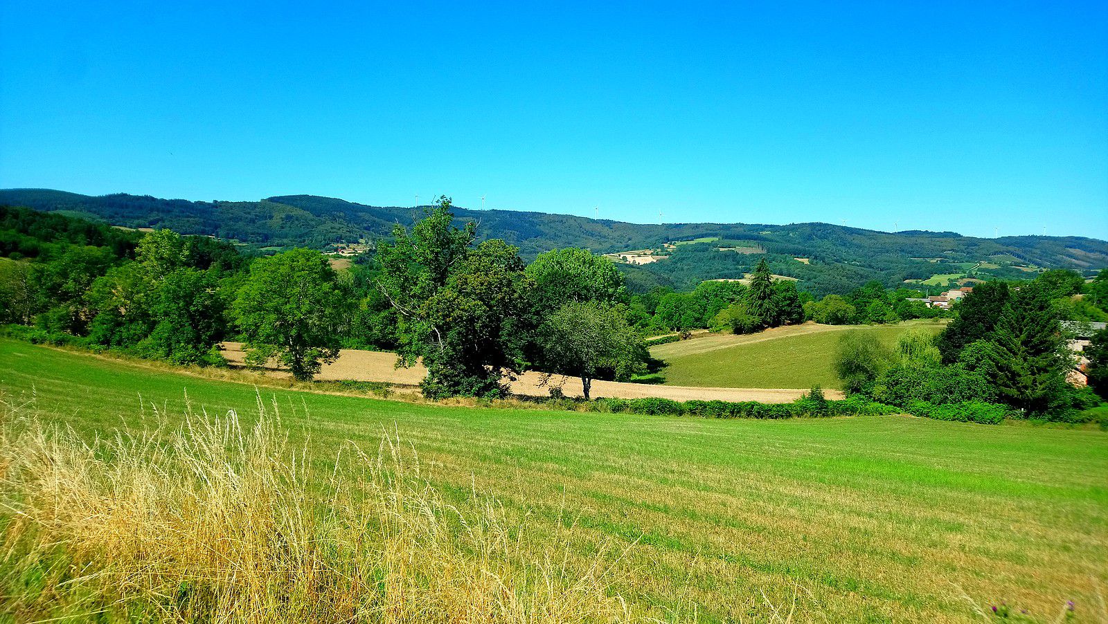
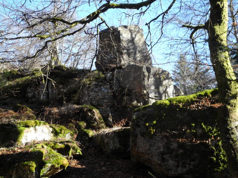
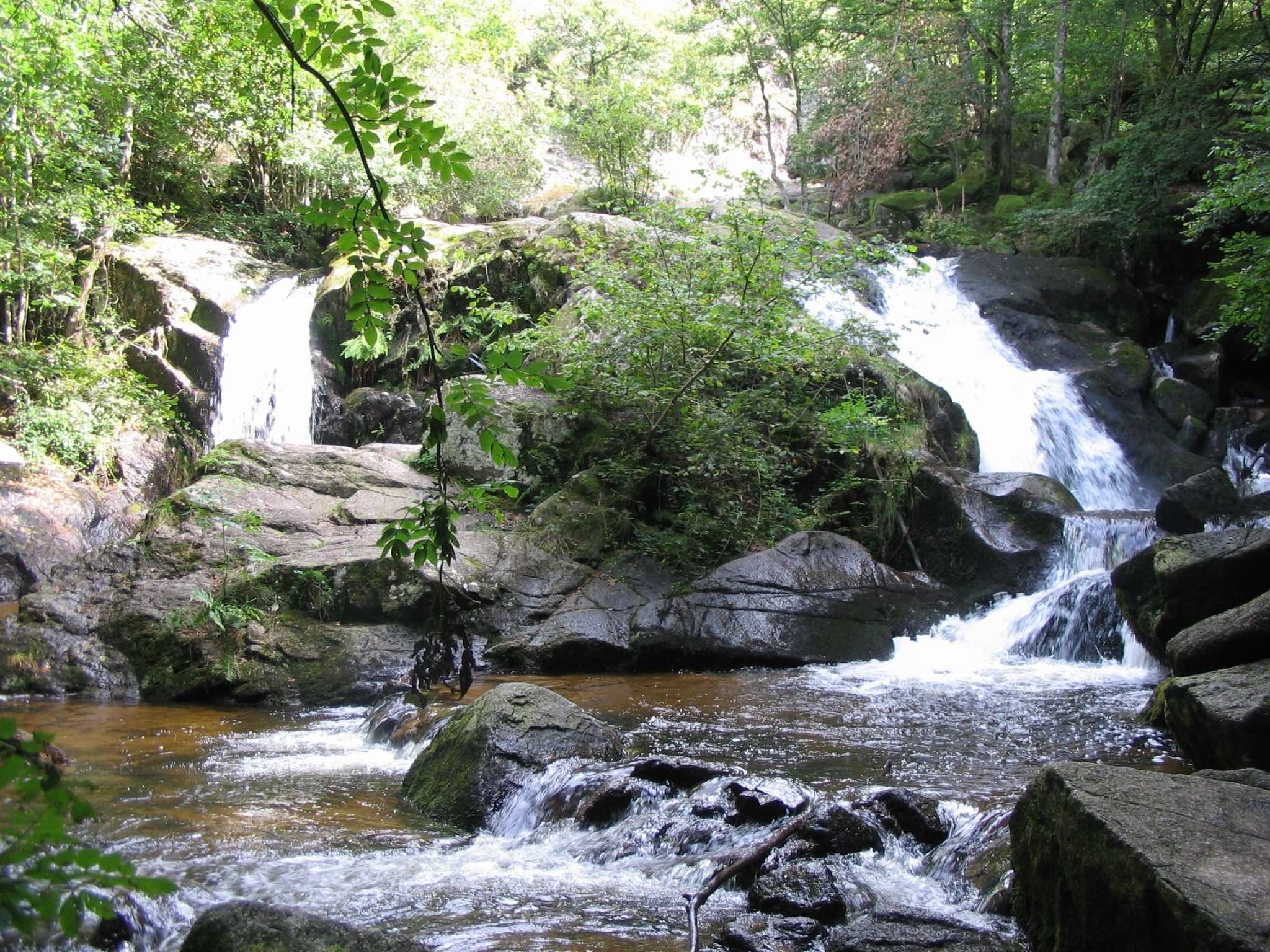
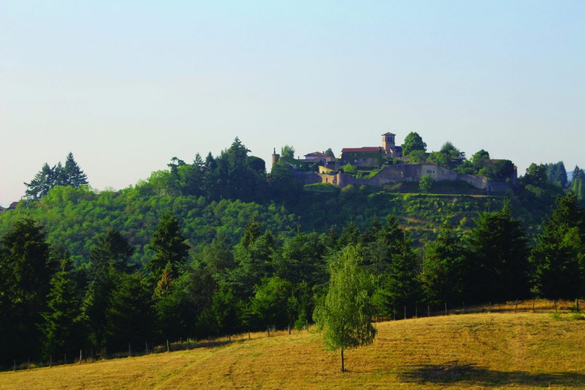
Here is a hike that starts near Saint-Haon-le-Châtel. The course, mainly forest, climbs gradually and offers some nice views of the surroundings.

Already more than 200,000 users!
Uphill
338m
Highest point
719m
Downhill
338m
Lowest point
412m
Route type
Loop
Download the map on your smartphone to save battery and rest assured to always keep access to the route, even without signal.
Includes IGN France and Swisstopo.
I indicate whether dogs are allowed or prohibited on this trail
All year
0 ratings
Also enjoy:

Already more than 200,000 users!