Uphill
74m
Length
4km
Duration
1h
Elev gain
74m
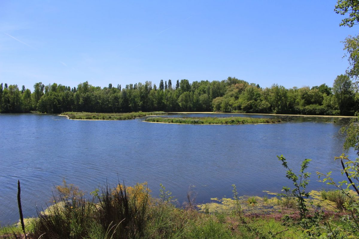
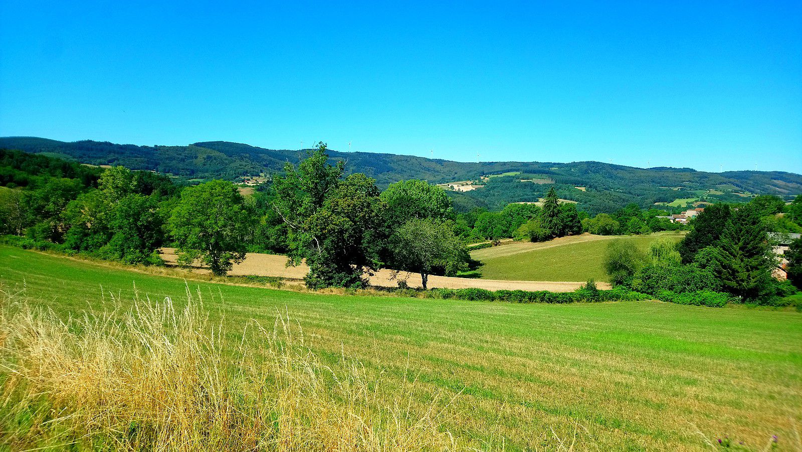
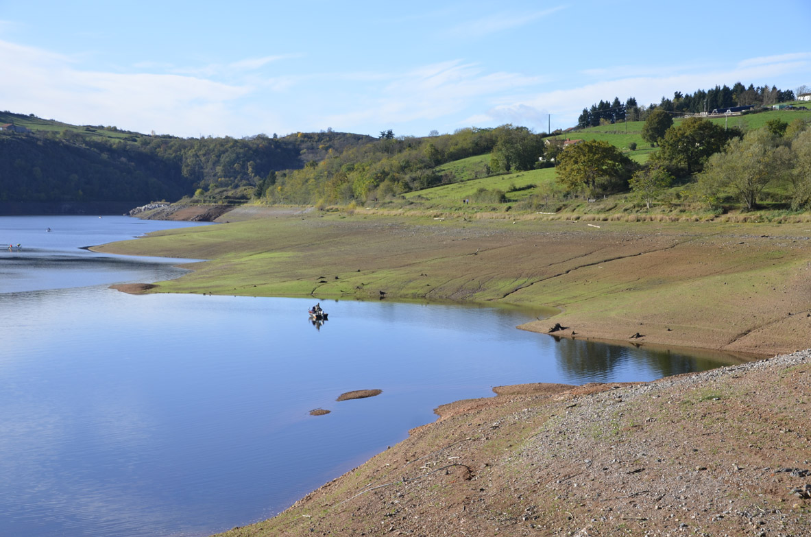
Starting from Villerest beach, this route makes a small loop along the lake of the same name. On the way back, if the season allows it, a short break at the beach to take a dip is a must.

Already more than 200,000 users!
Uphill
74m
Highest point
361m
Downhill
74m
Lowest point
303m
Route type
Loop
Download the map on your smartphone to save battery and rest assured to always keep access to the route, even without signal.
Includes IGN France and Swisstopo.
I indicate whether dogs are allowed or prohibited on this trail
All year
0 ratings
Also enjoy:

Already more than 200,000 users!