Uphill
169m
Length
8km
Duration
2h30min
Elev gain
169m
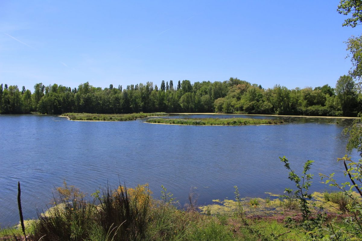
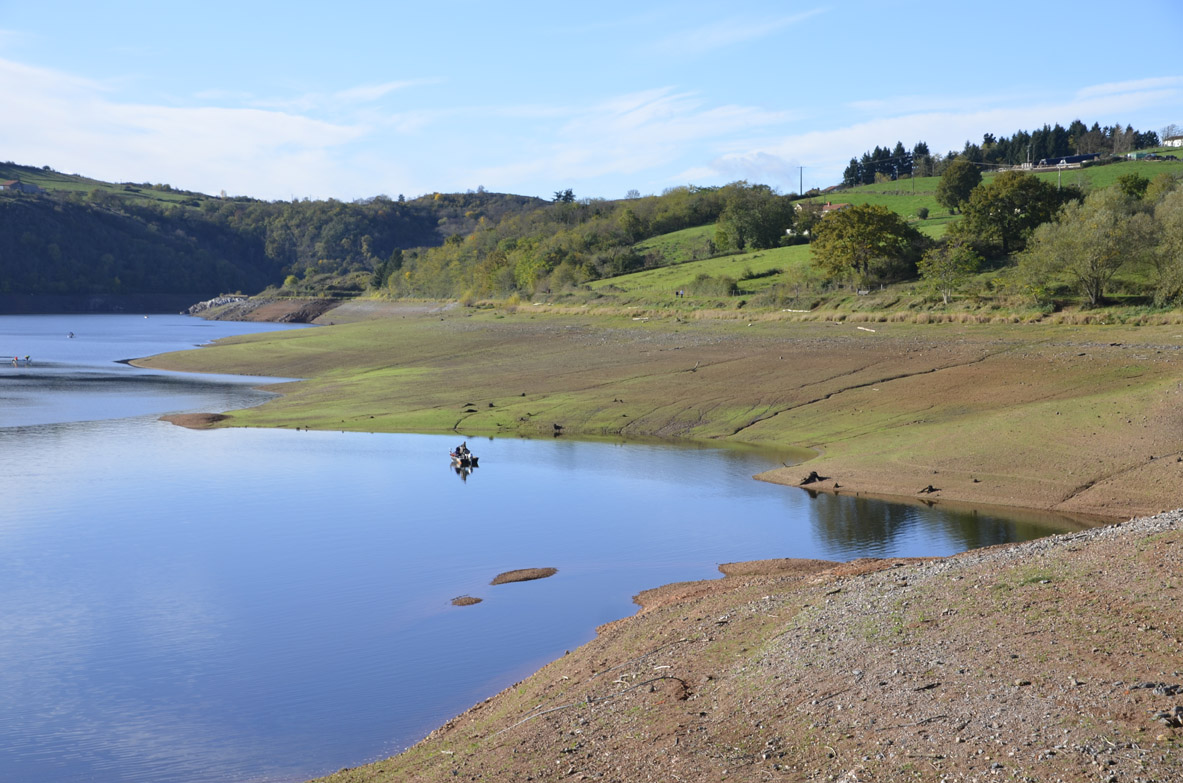
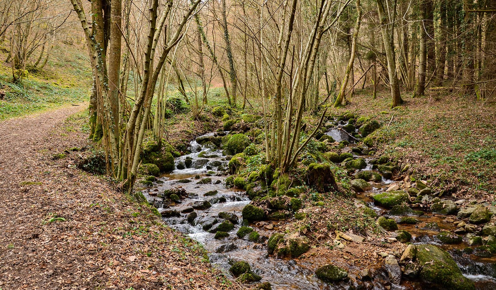
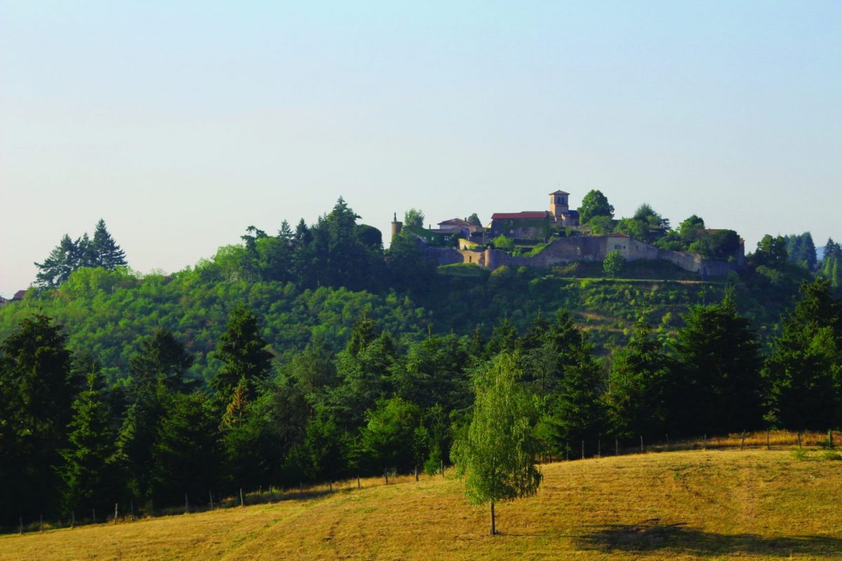
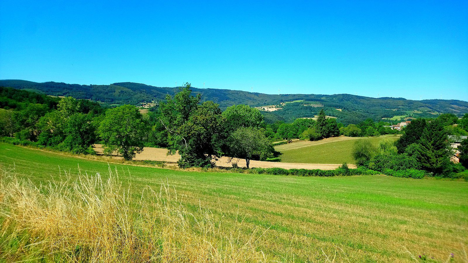
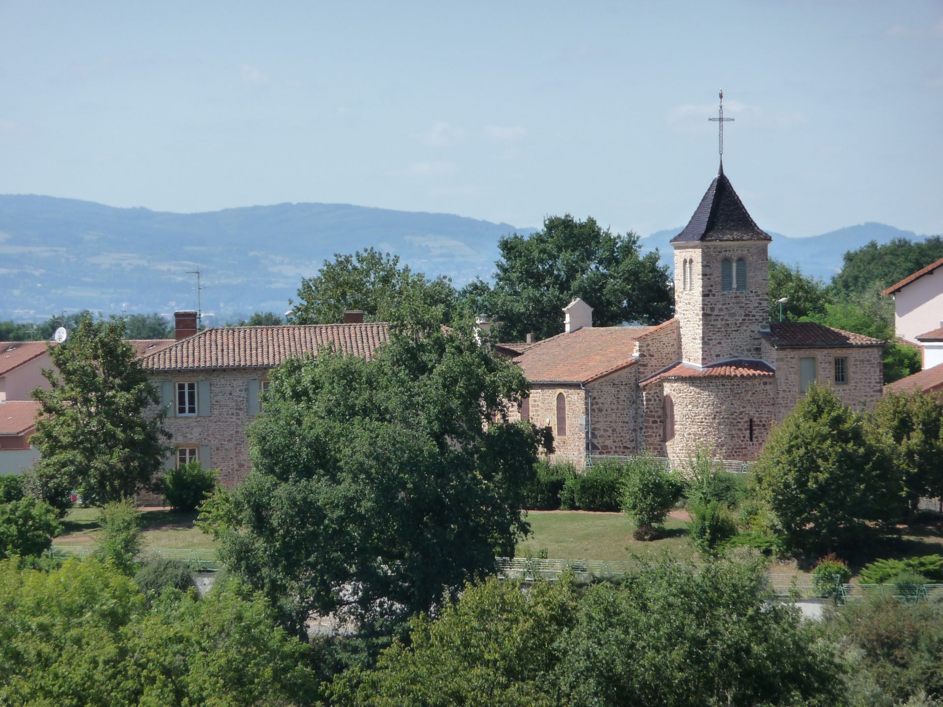
Here is a walk starting from Notre-Dame-de-Boisset, a small town south-east of Roanne. The route leaves the village to make a beautiful loop in the middle of the fields, and takes a little height in places to offer pretty views of the surroundings.

Already more than 200,000 users!
Uphill
169m
Highest point
398m
Downhill
169m
Lowest point
306m
Route type
Loop
Download the map on your smartphone to save battery and rest assured to always keep access to the route, even without signal.
Includes IGN France and Swisstopo.
I indicate whether dogs are allowed or prohibited on this trail
All year
1 rating
Also enjoy:

Already more than 200,000 users!