Uphill
39m
Length
10km
Duration
2h30min
Elev gain
39m
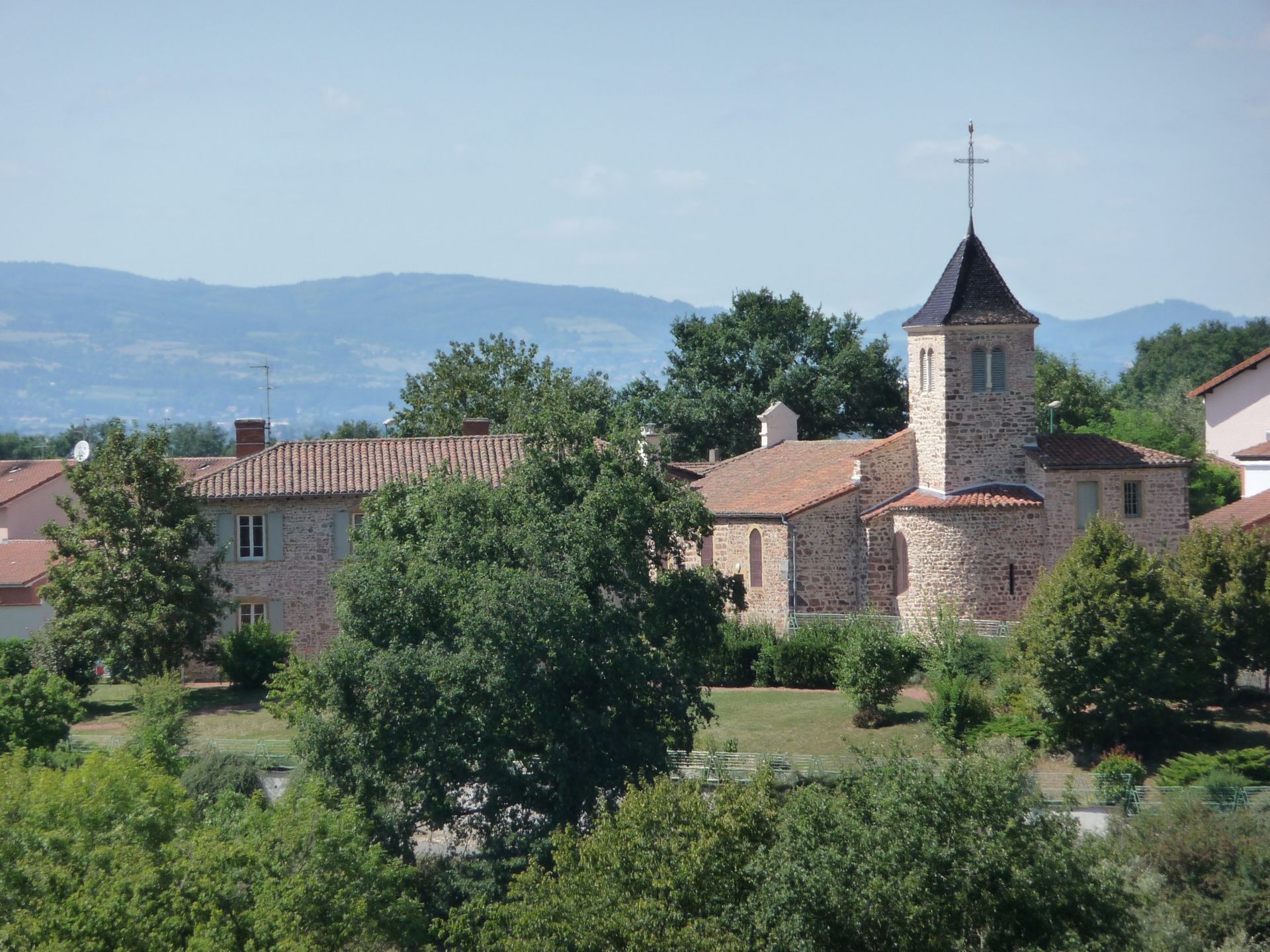
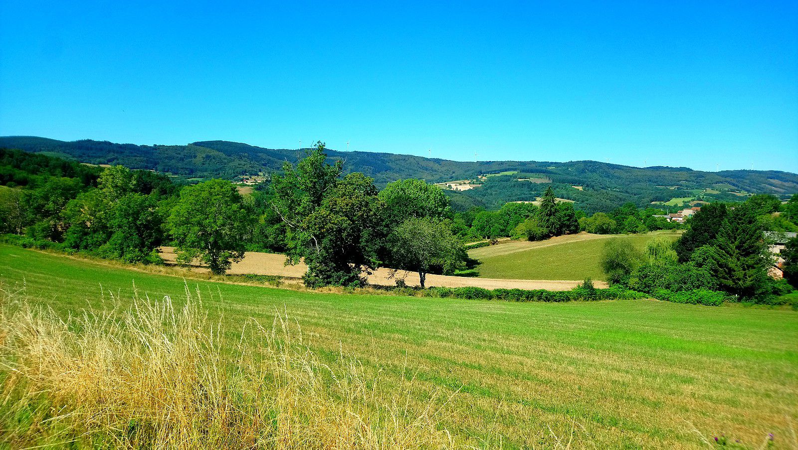
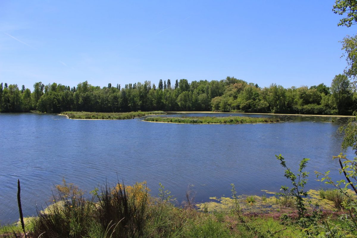
Looking for a ride close to the city? There it is. The route begins very close to Roanne and makes a nice loop on the banks of the Loire, all by taking mainly small paths. A veritable green lung in an urban environment.

Already more than 200,000 users!
Uphill
39m
Highest point
278m
Downhill
39m
Lowest point
253m
Route type
Loop
Download the map on your smartphone to save battery and rest assured to always keep access to the route, even without signal.
Includes IGN France and Swisstopo.
I indicate whether dogs are allowed or prohibited on this trail
All year
0 ratings
Also enjoy:

Already more than 200,000 users!