Uphill
192m
Length
2km
Duration
1h30min
Elev gain
192m
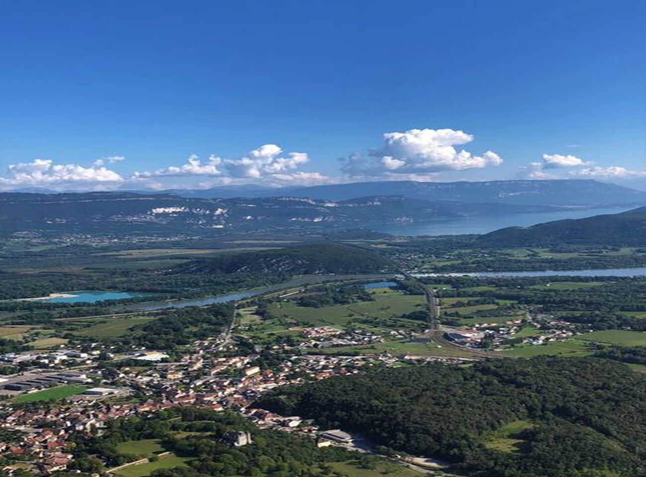
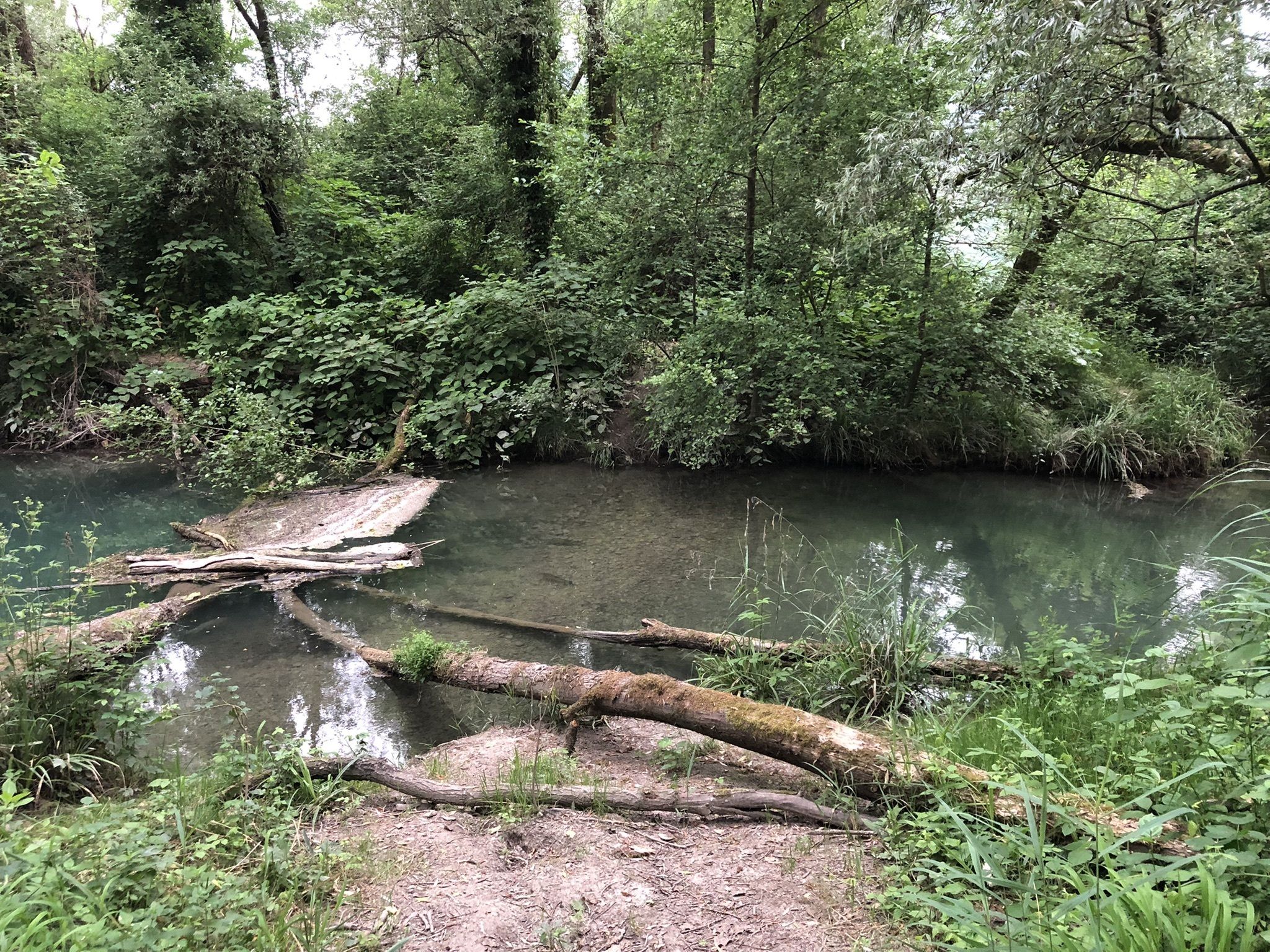
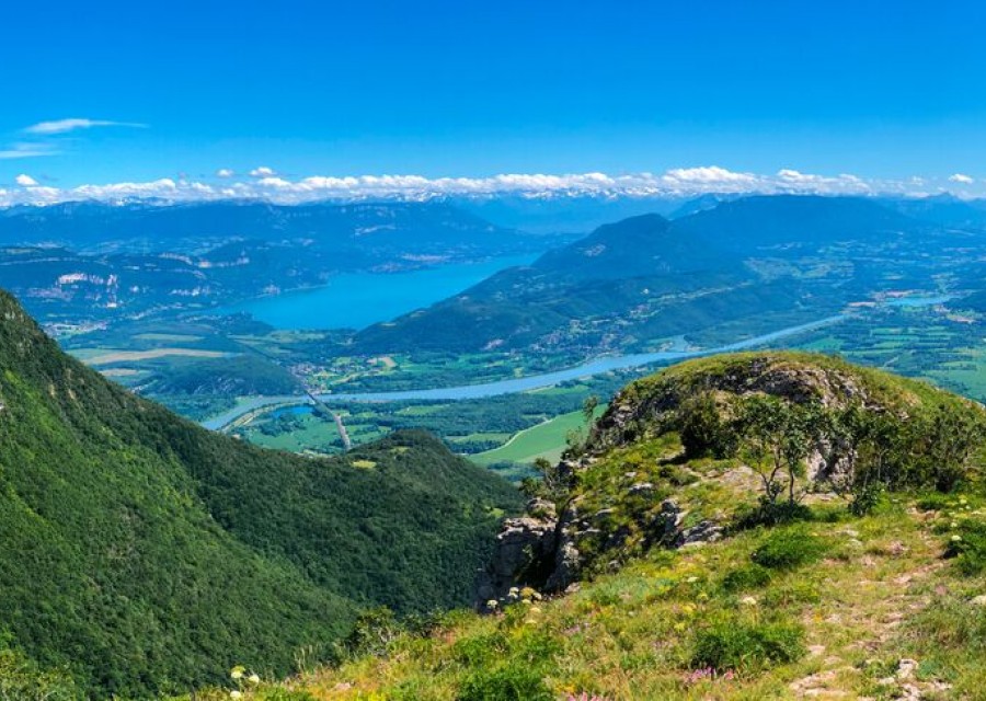
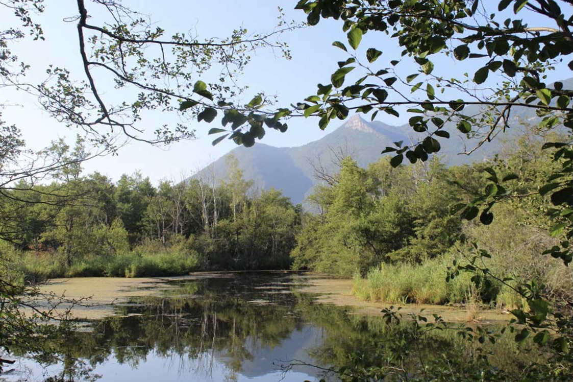
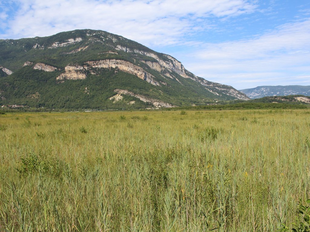
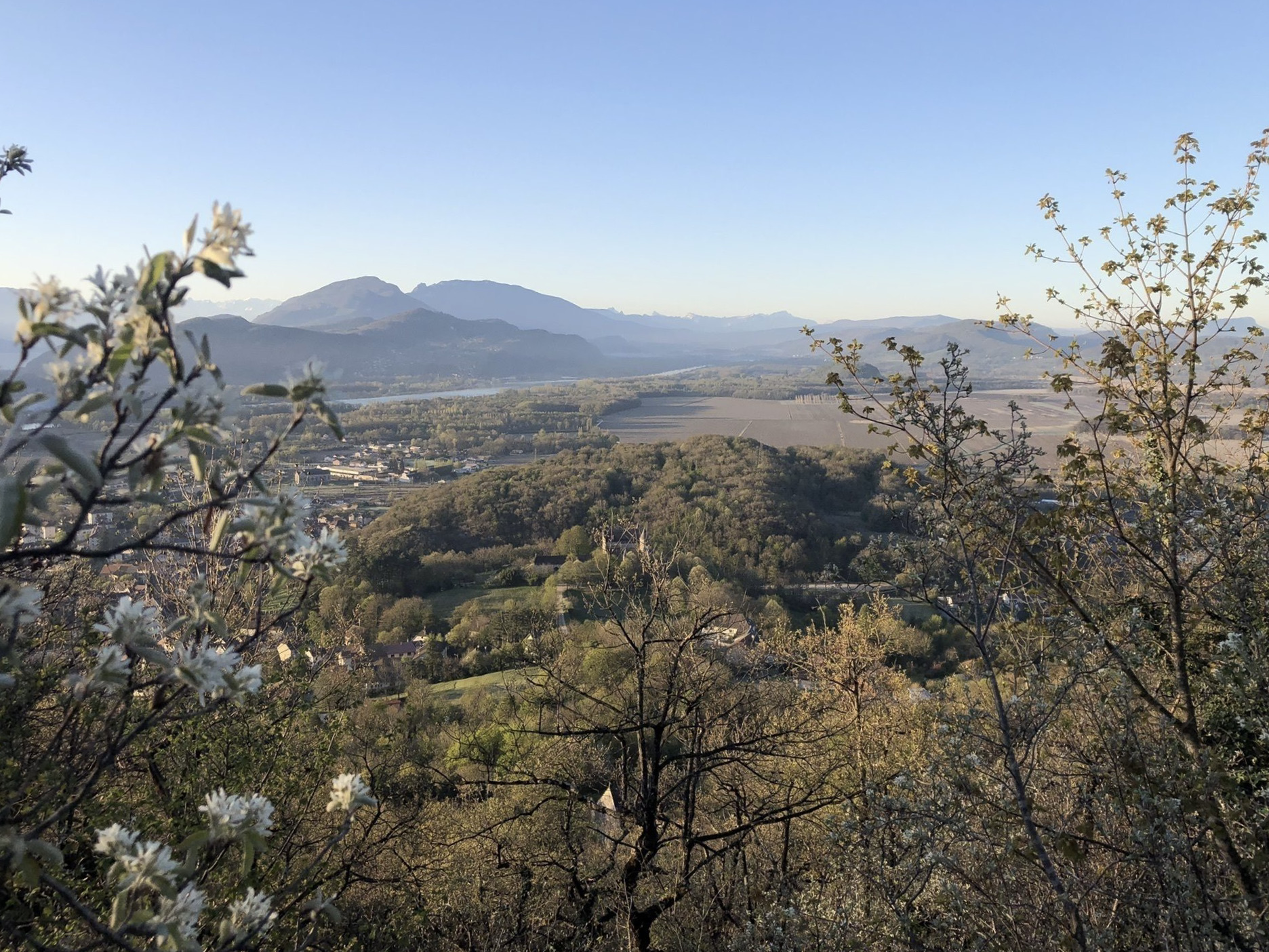
This route takes place on either side of the Jourdan, taking a little height in the woods to offer pretty views of Culoz and the Rhône.

Already more than 200,000 users!
Uphill
192m
Highest point
510m
Downhill
192m
Lowest point
312m
Route type
Loop
Download the map on your smartphone to save battery and rest assured to always keep access to the route, even without signal.
Includes IGN France and Swisstopo.
I indicate whether dogs are allowed or prohibited on this trail
All year
0 ratings
Also enjoy:

Already more than 200,000 users!