Uphill
49m
Length
4km
Duration
1h
Elev gain
49m
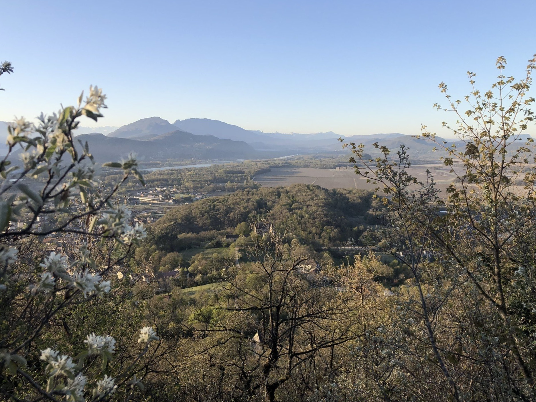
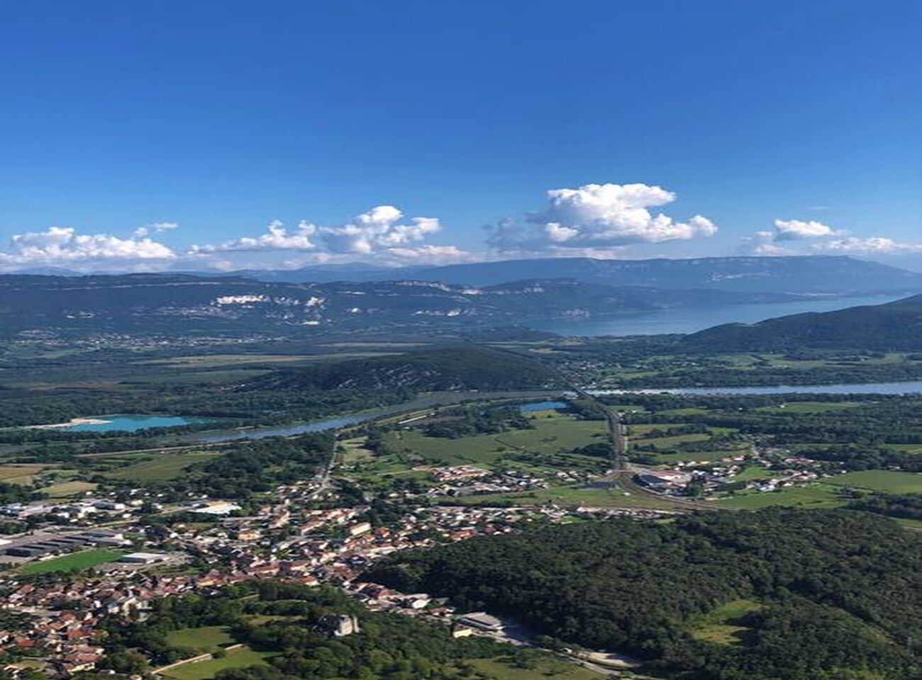
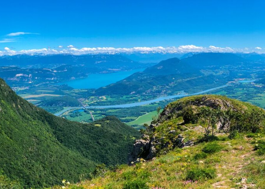
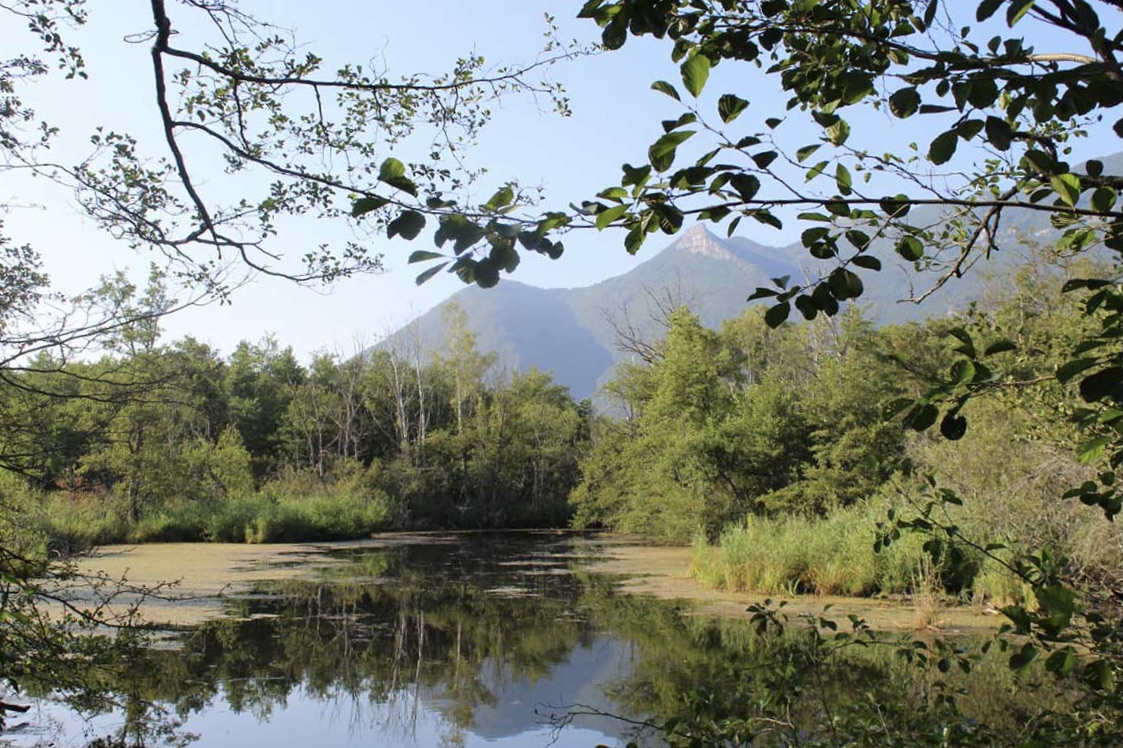
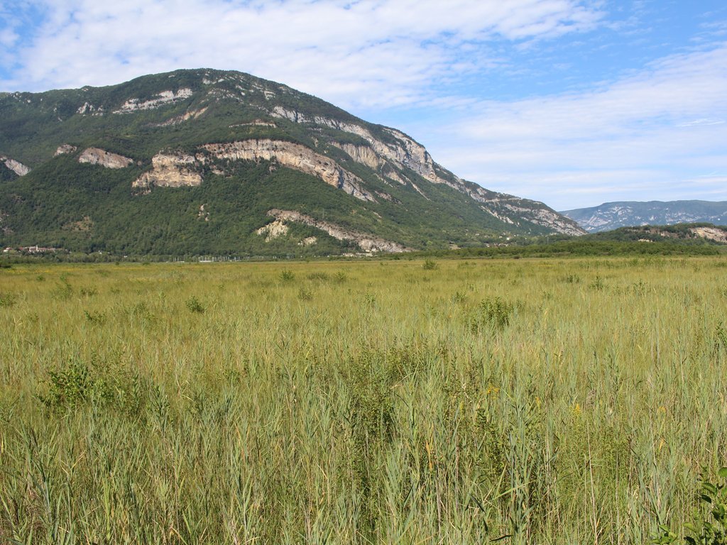
Here is a family-friendly walk from Ruffieux. The trail meanders around two small water reservoirs, passes through a still active quarry, and runs along the Rhône.

Already more than 200,000 users!
Uphill
49m
Highest point
257m
Downhill
49m
Lowest point
221m
Route type
Loop
Download the map on your smartphone to save battery and rest assured to always keep access to the route, even without signal.
Includes IGN France and Swisstopo.
I indicate whether dogs are allowed or prohibited on this trail
All year
1 rating
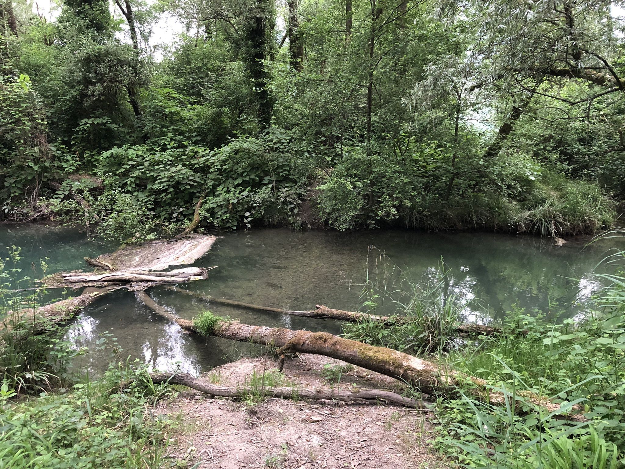
Après 400 mètres. Carrières privées. Impossible de continuer sauf si vous prenez à gauche le petit ruisseau a traverser 3 fois par des larges poutres. Un étroit chemin parmi les grenouilles, libellules et poissons. Pas sûr que cela soit accessible en temps humide ou pluvieux. Prévoir un bâton pour les ronces. Reprise du parcours après la carrière.
Also enjoy:

Already more than 200,000 users!