Uphill
223m
Length
4km
Duration
1h30min
Elev gain
223m
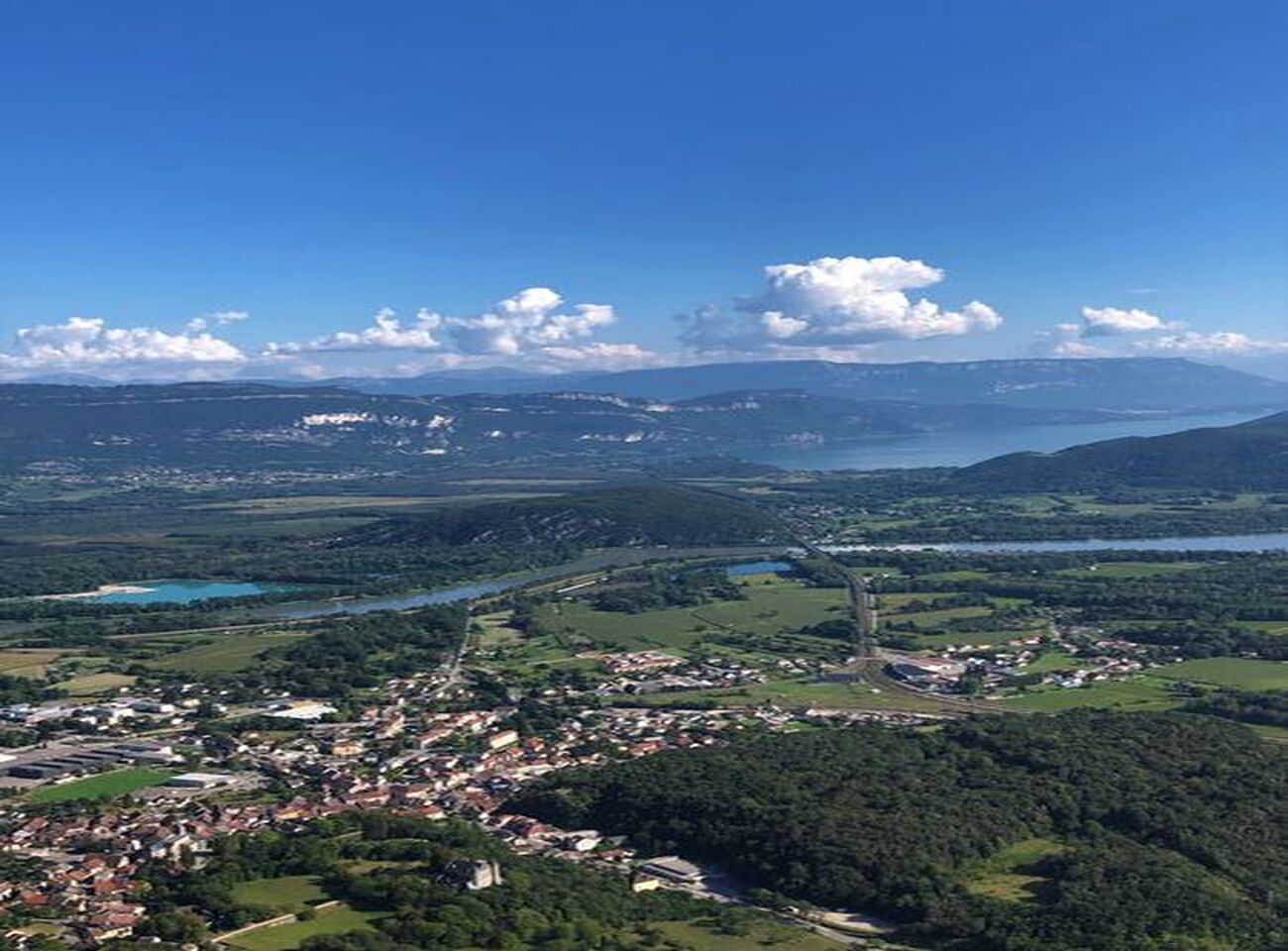
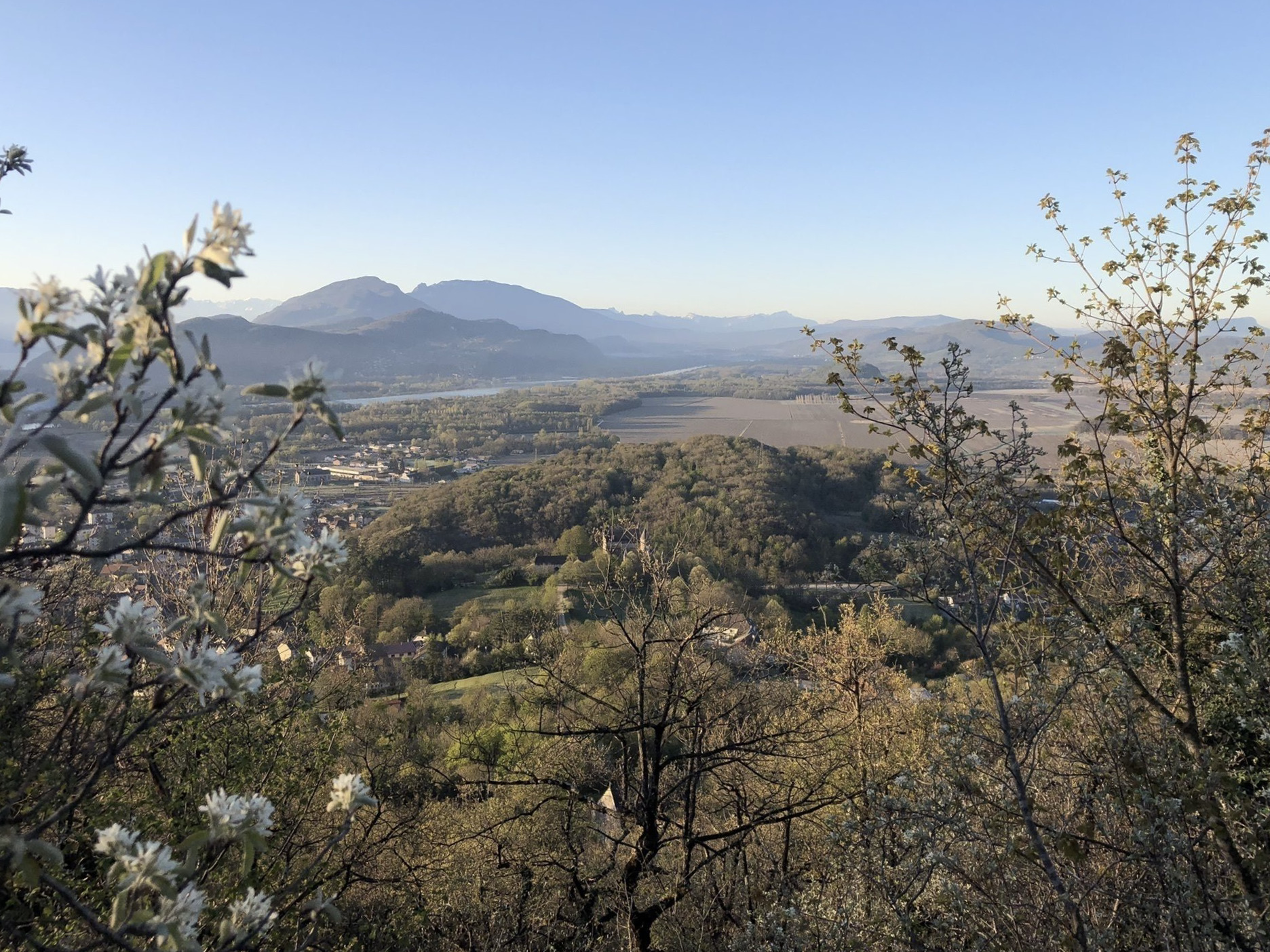
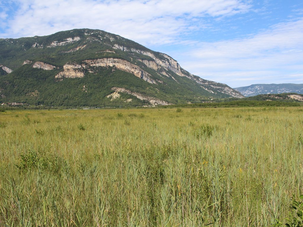
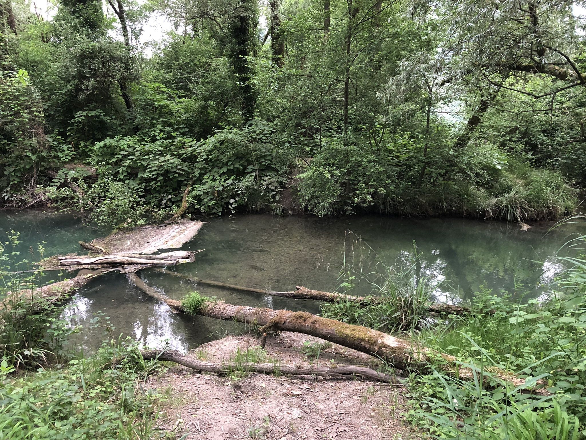
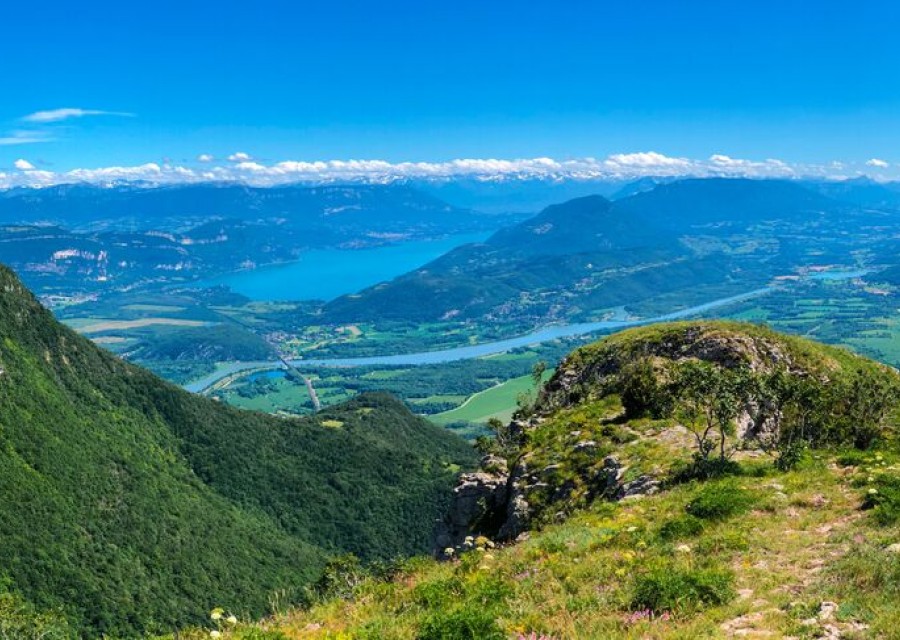
From the Auberge du Colombier, this walk makes a round trip to Chanduraz, a very beautiful belvedere on the Rhône plain.

Already more than 200,000 users!
Uphill
223m
Highest point
1414m
Downhill
223m
Lowest point
1200m
Route type
There and back
Download the map on your smartphone to save battery and rest assured to always keep access to the route, even without signal.
Includes IGN France and Swisstopo.
I indicate whether dogs are allowed or prohibited on this trail
Can be difficult in Winter
1 rating
Also enjoy:

Already more than 200,000 users!