Uphill
521m
Length
13km
Duration
4h30min
Elev gain
521m
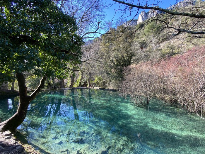
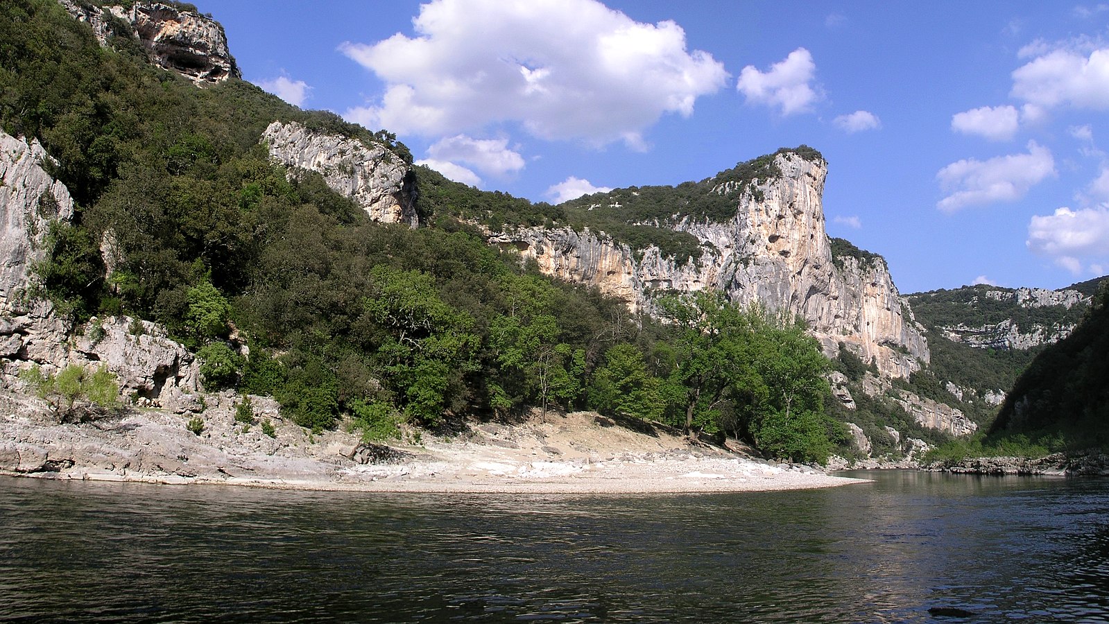
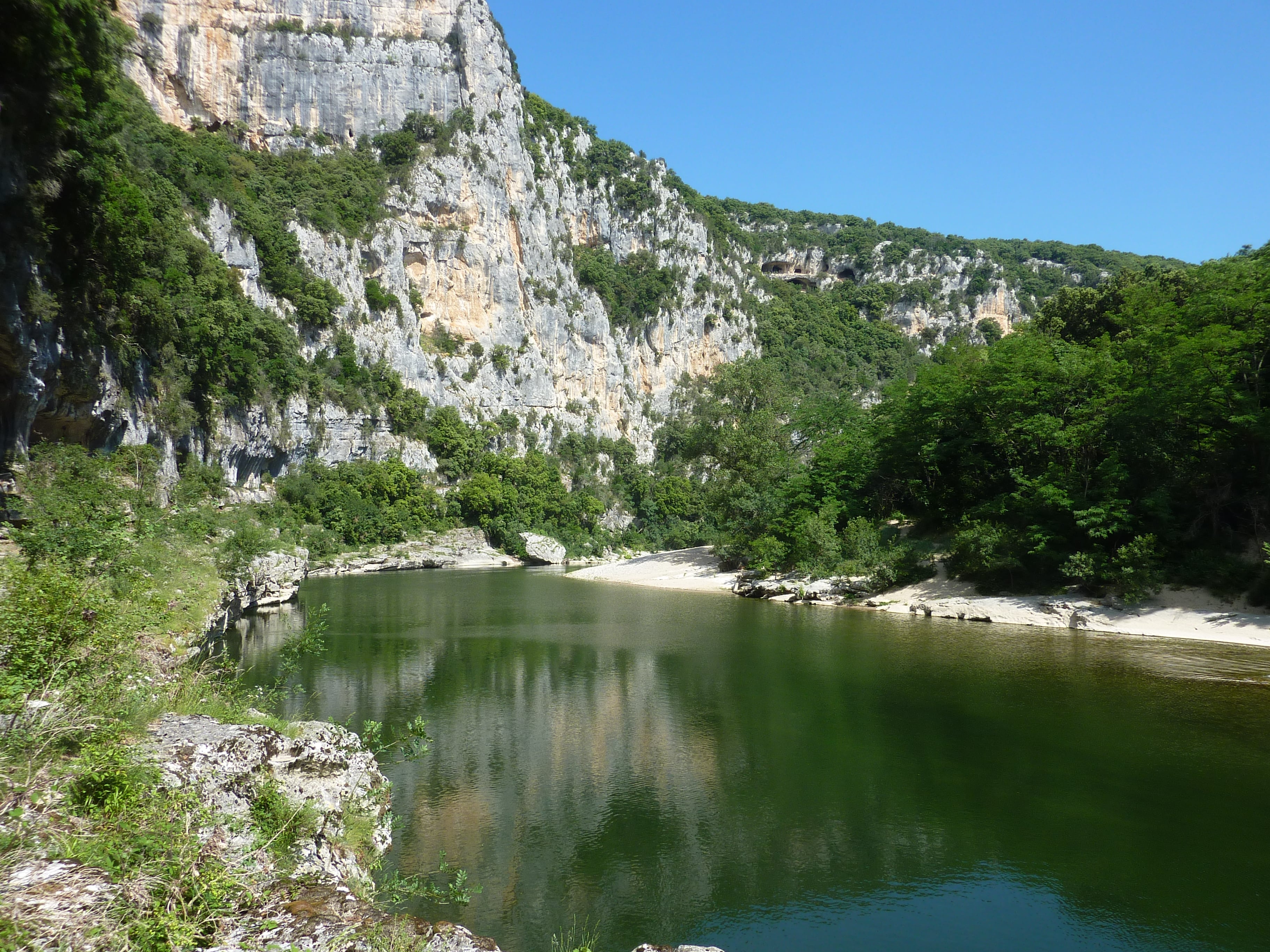
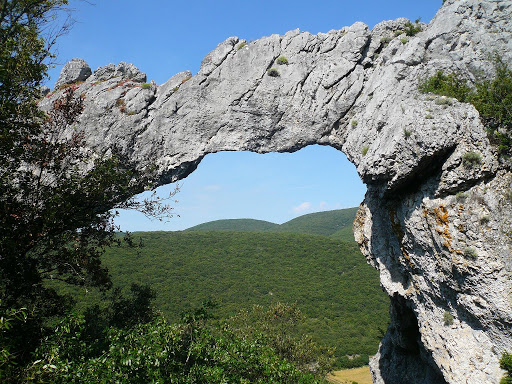
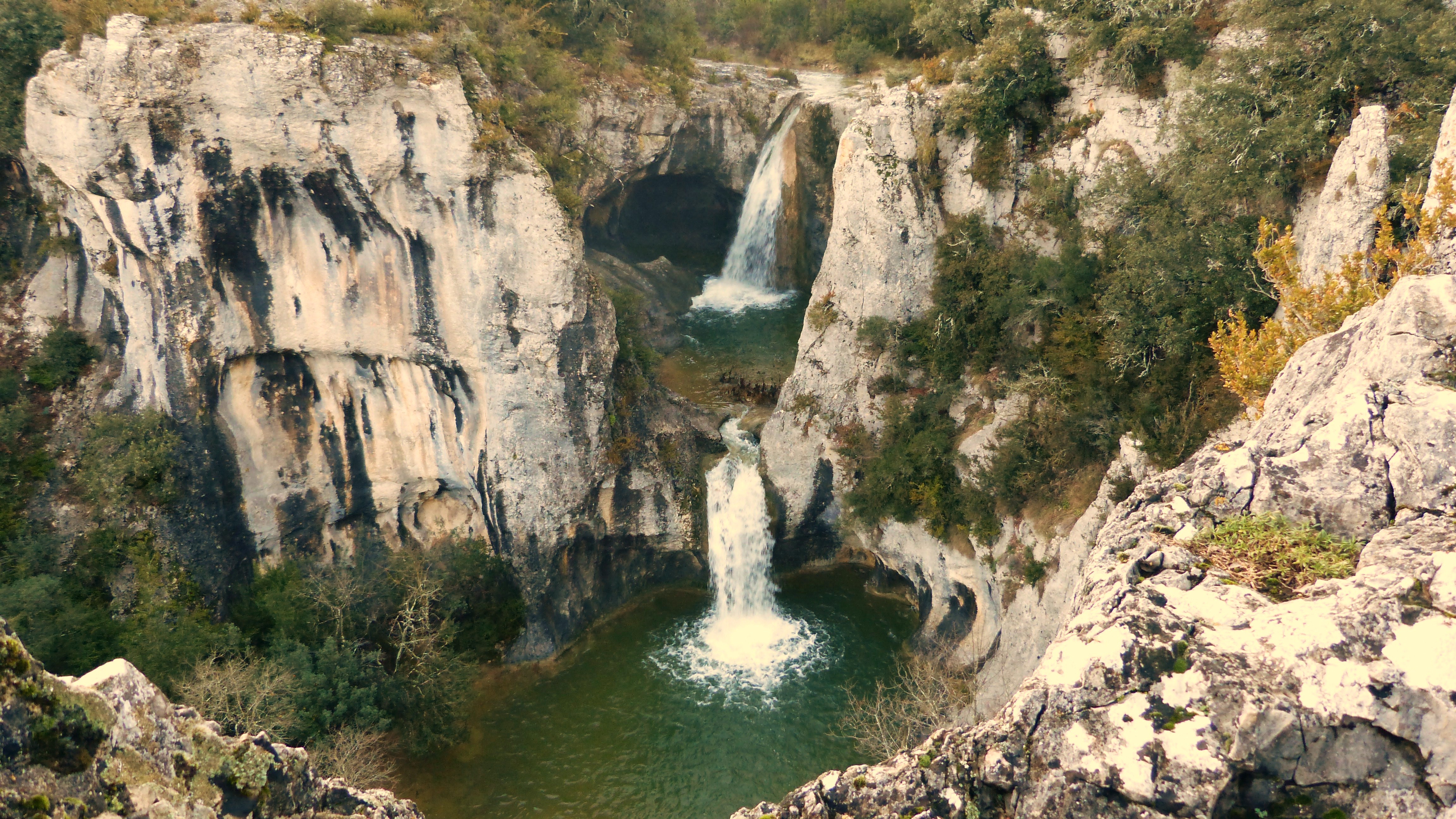
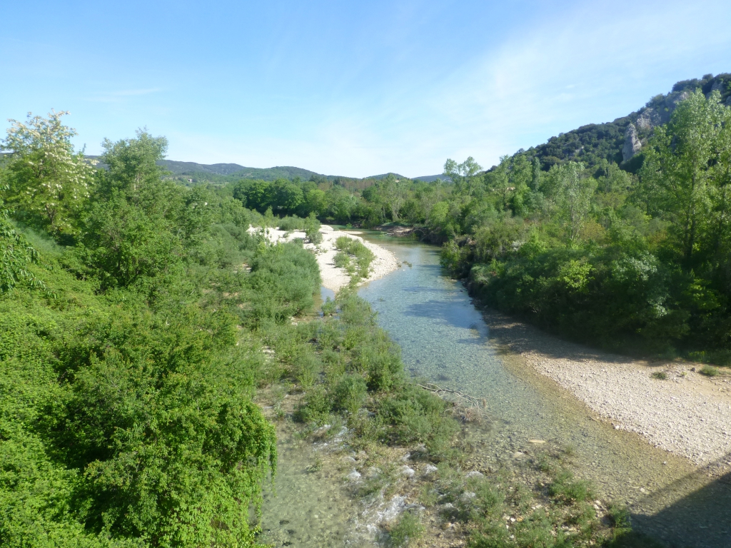
Loop mainly in an oak forest, but also offering a nice point of view on Pont-d'Arc.

Already more than 200,000 users!
Uphill
521m
Highest point
428m
Downhill
521m
Lowest point
81m
Route type
Loop
Download the map on your smartphone to save battery and rest assured to always keep access to the route, even without signal.
Includes IGN France and Swisstopo.
I indicate whether dogs are allowed or prohibited on this trail
All year
1 rating
Randonnée difficile ??? ÉPUISANTE, pas faite du tout pour la randonnée, plutôt pour l’entraînement des pros.
Aucun panorama, aucune vue, bcp de cailloux sur le sentier ( équilibre difficile) des montées interminables et très pentues. Bref randonnée à C…..💩
Also enjoy:

Already more than 200,000 users!