Uphill
248m
Length
9km
Duration
3h
Elev gain
248m
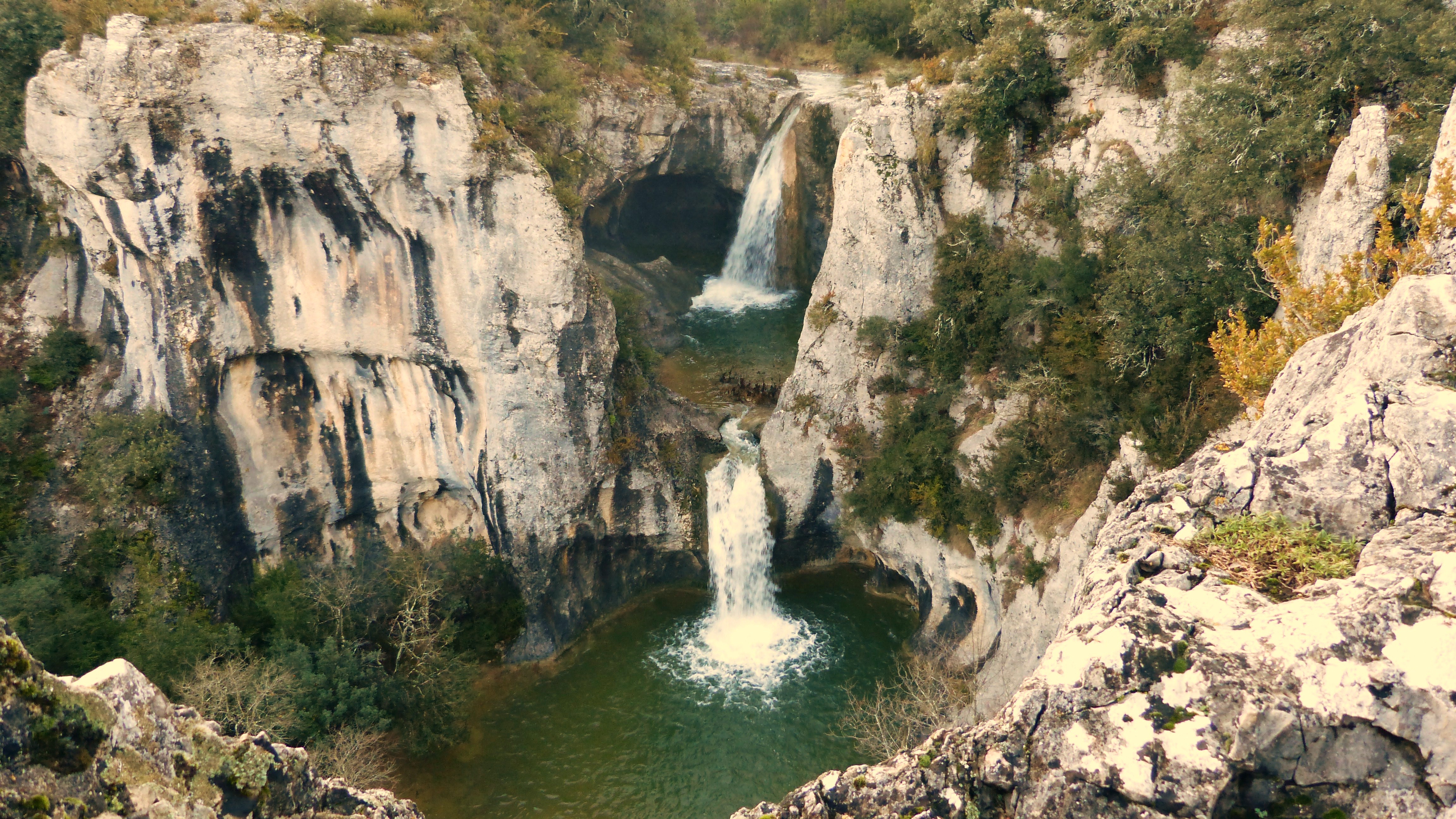
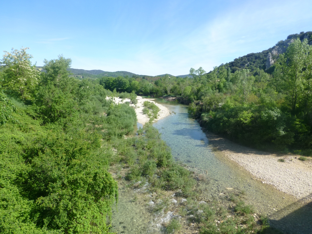
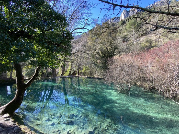
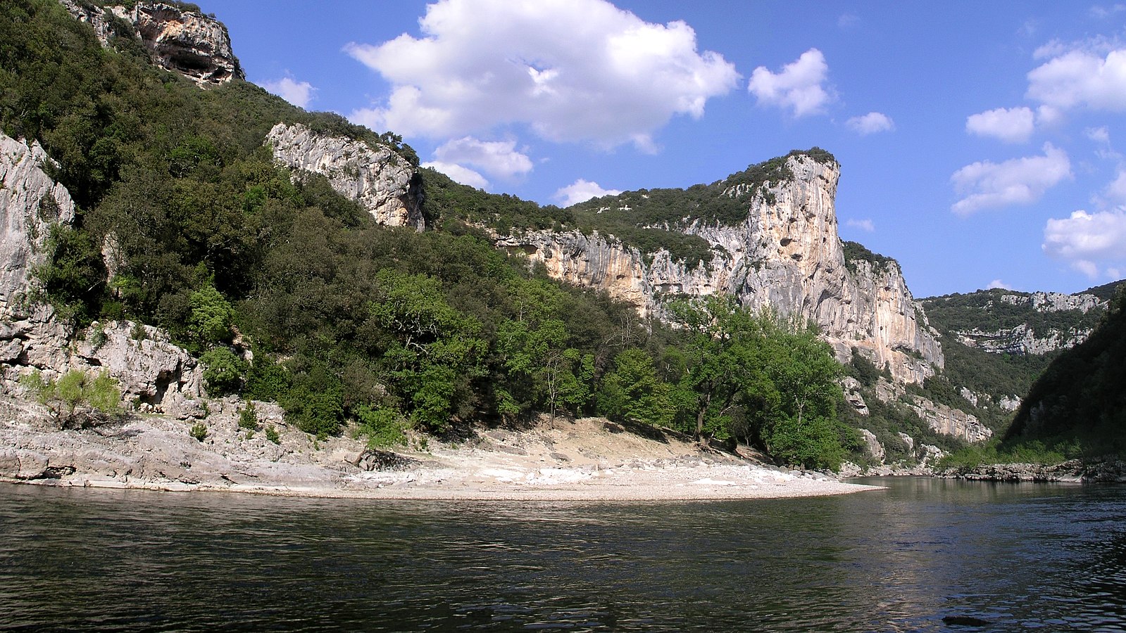
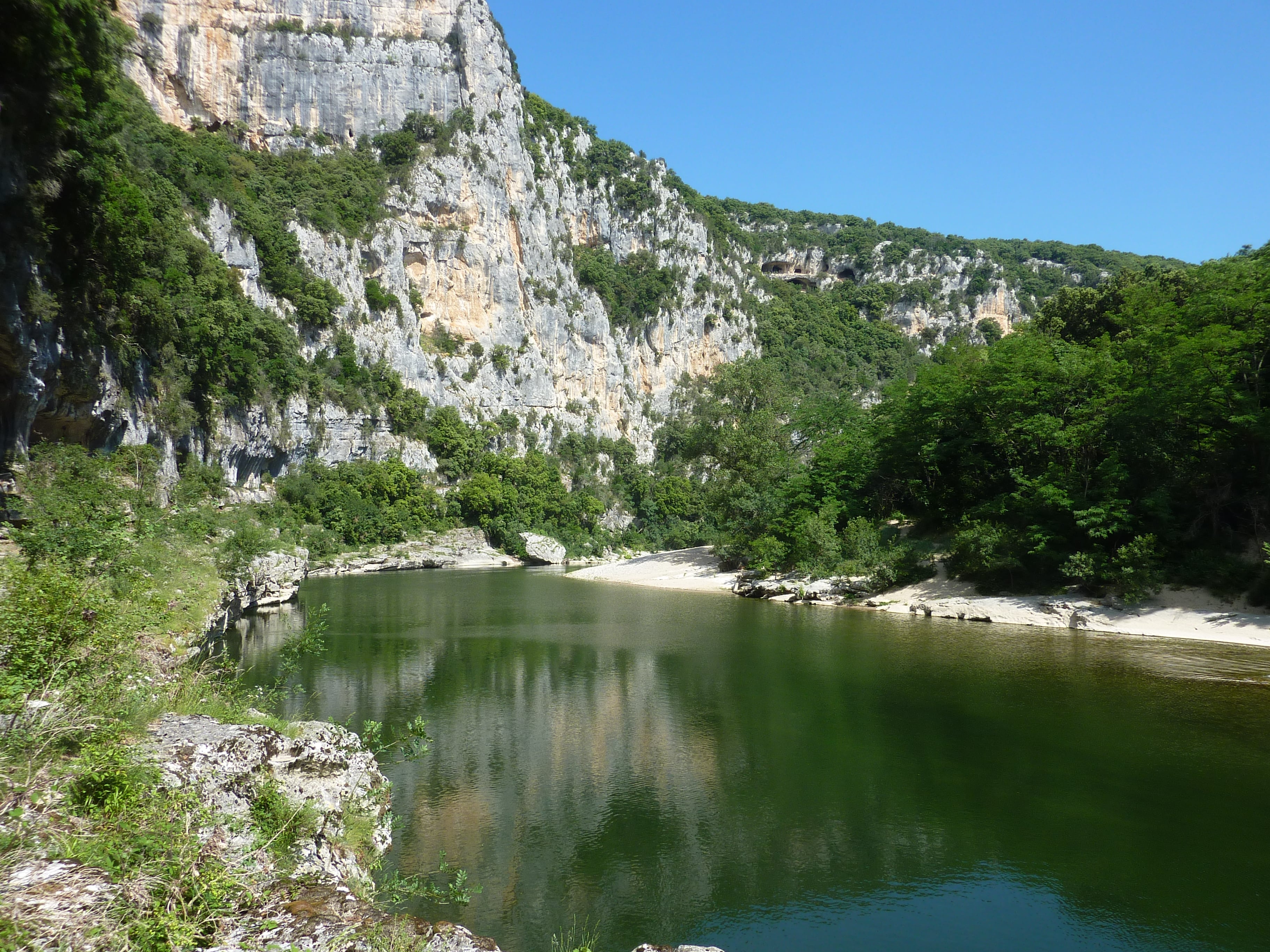
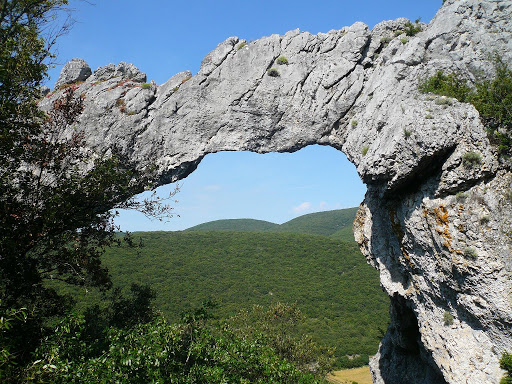
Circuit in the valley of the Ibie, a tributary river of the Ardèche which is regularly found dry. The path goes to discover a natural arch: the Ranc de l'Arc.

Already more than 200,000 users!
Uphill
248m
Highest point
291m
Downhill
248m
Lowest point
111m
Route type
Loop
Download the map on your smartphone to save battery and rest assured to always keep access to the route, even without signal.
Includes IGN France and Swisstopo.
I indicate whether dogs are allowed or prohibited on this trail
All year
1 rating
Also enjoy:

Already more than 200,000 users!