Uphill
214m
Length
7km
Duration
2h30min
Elev gain
214m
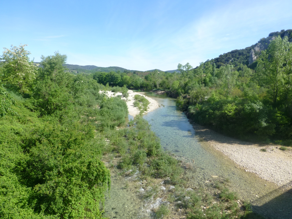
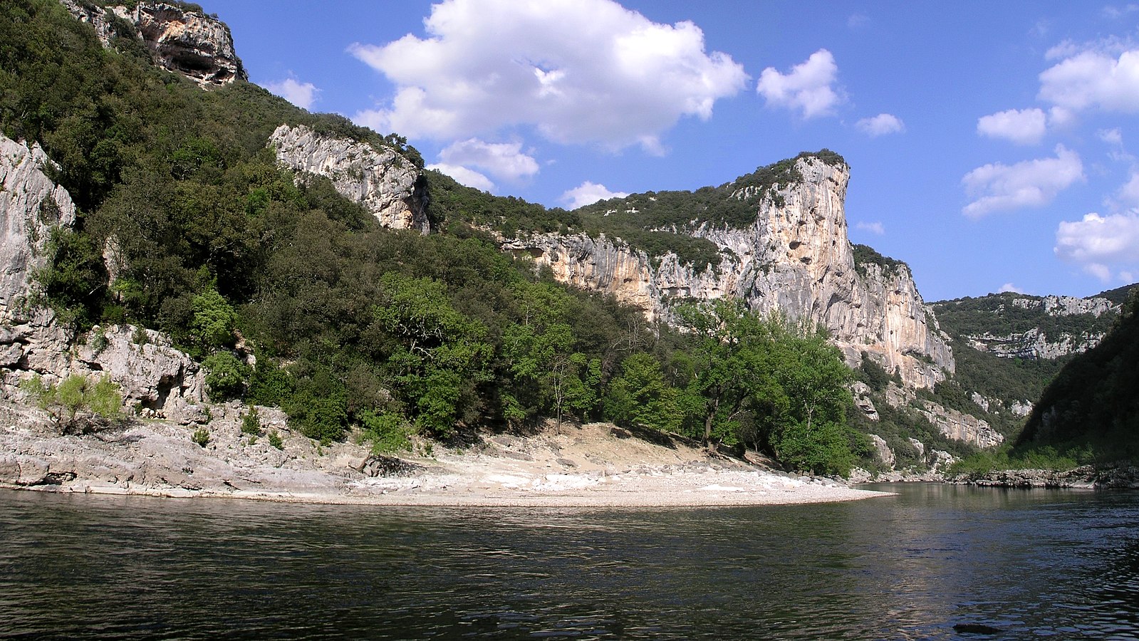
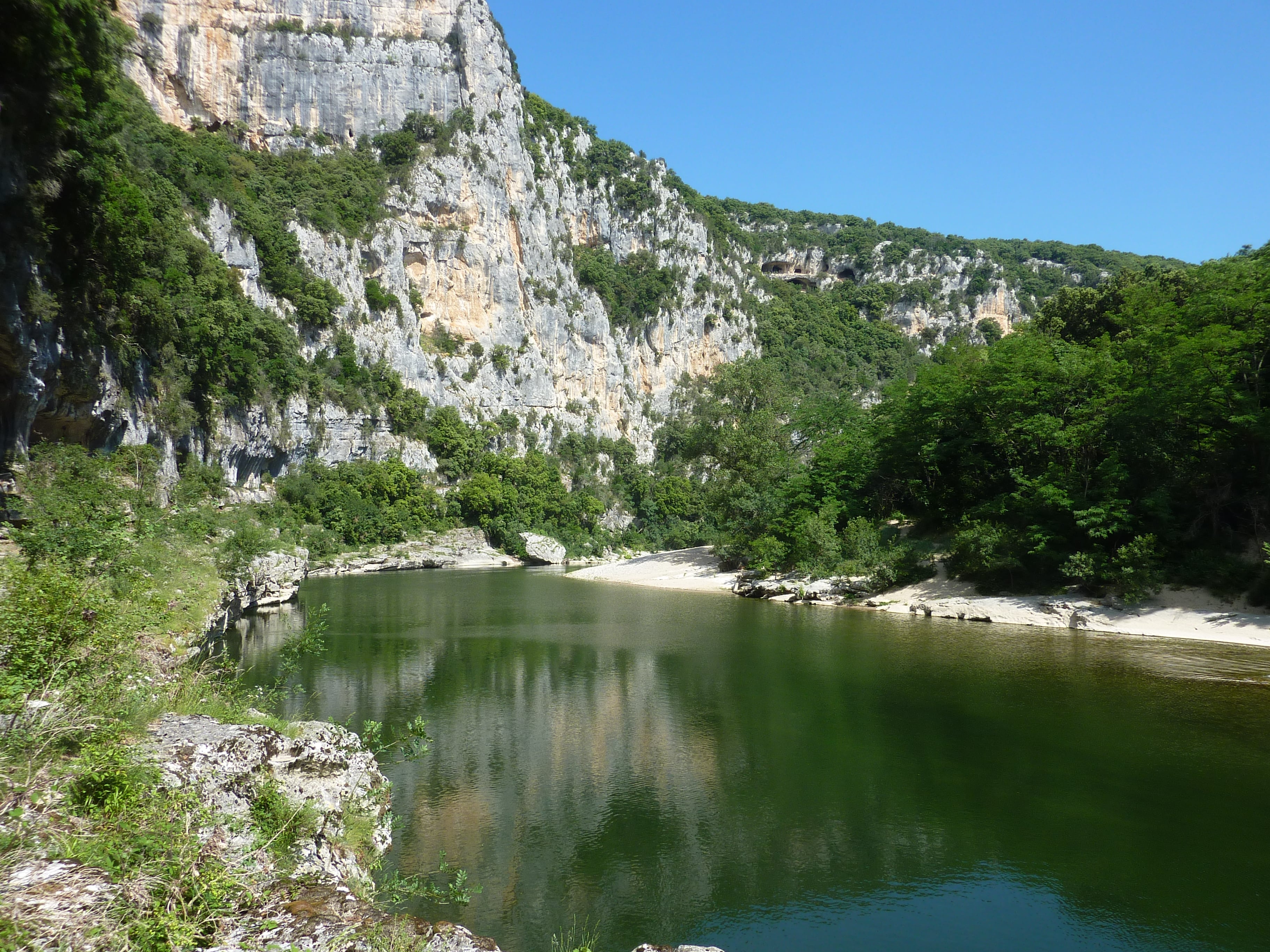
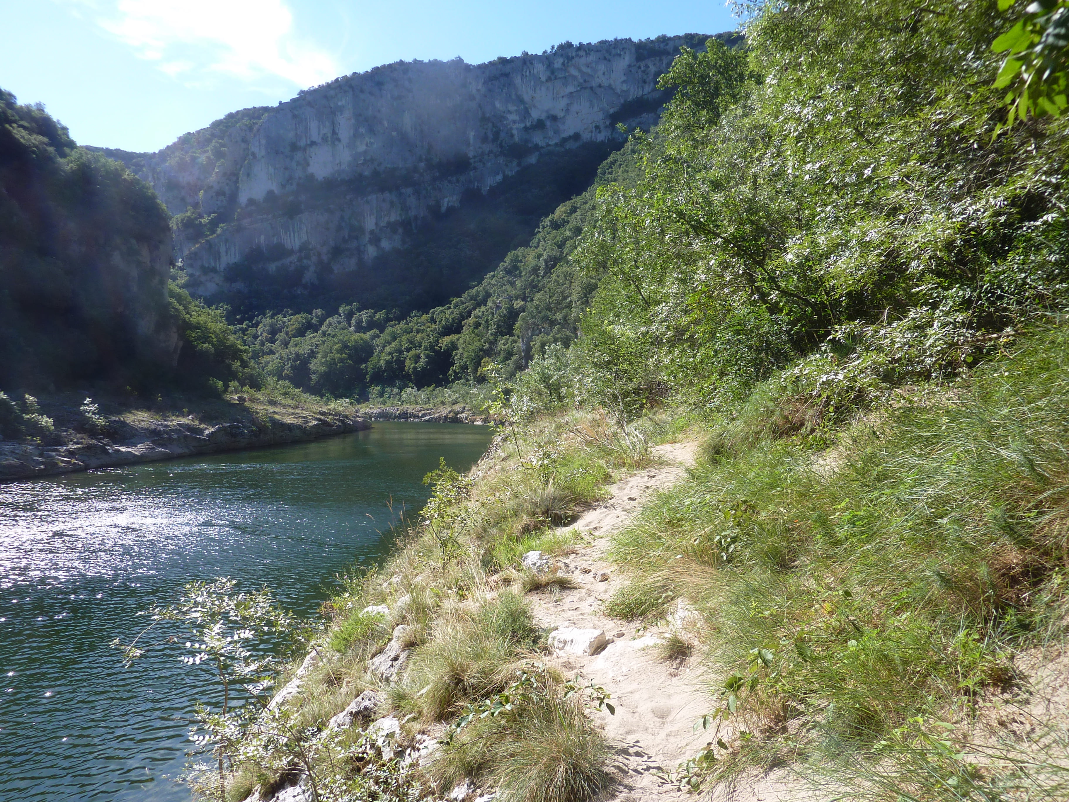
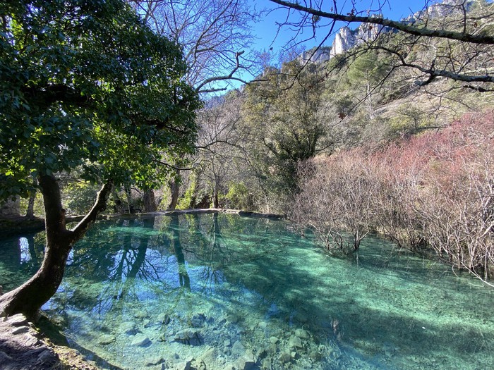
Nice walk along the Tiourre, a stream offering a magnificent turquoise blue in places. The route takes place in a beautiful pine forest and passes by the ruins of the Tiourre mill.

Already more than 200,000 users!
Uphill
214m
Highest point
245m
Downhill
214m
Lowest point
94m
Route type
Loop
Download the map on your smartphone to save battery and rest assured to always keep access to the route, even without signal.
Includes IGN France and Swisstopo.
11 ratings
Tres jolie balade tres sympa !
Les bassins sont sur le retour de la boucle bonne balade a vous 😁
Also enjoy:

Already more than 200,000 users!