Uphill
113m
Length
7km
Duration
2h
Elev gain
113m
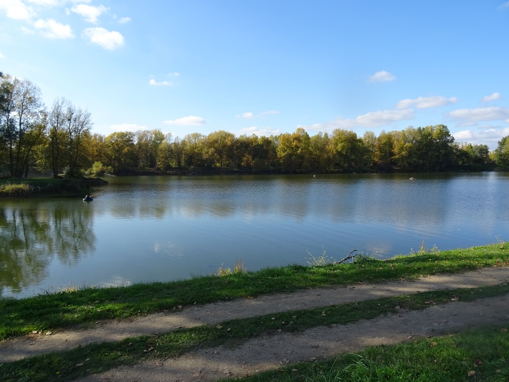
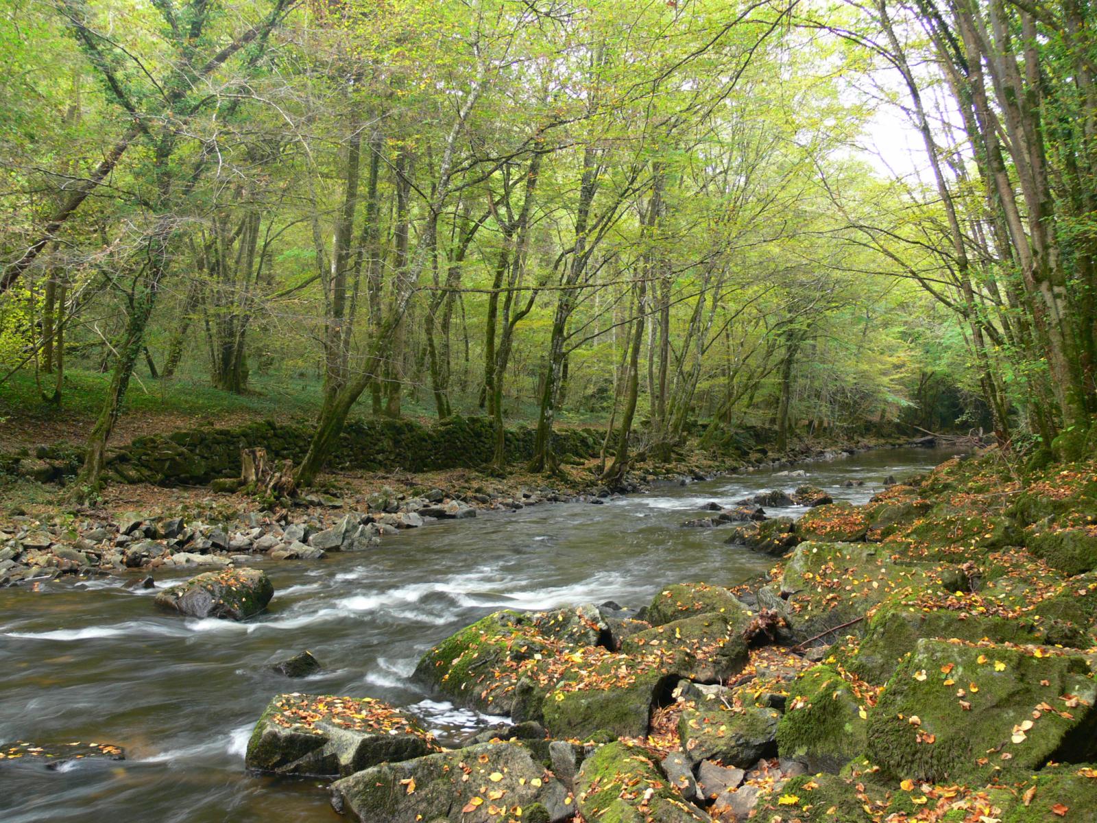
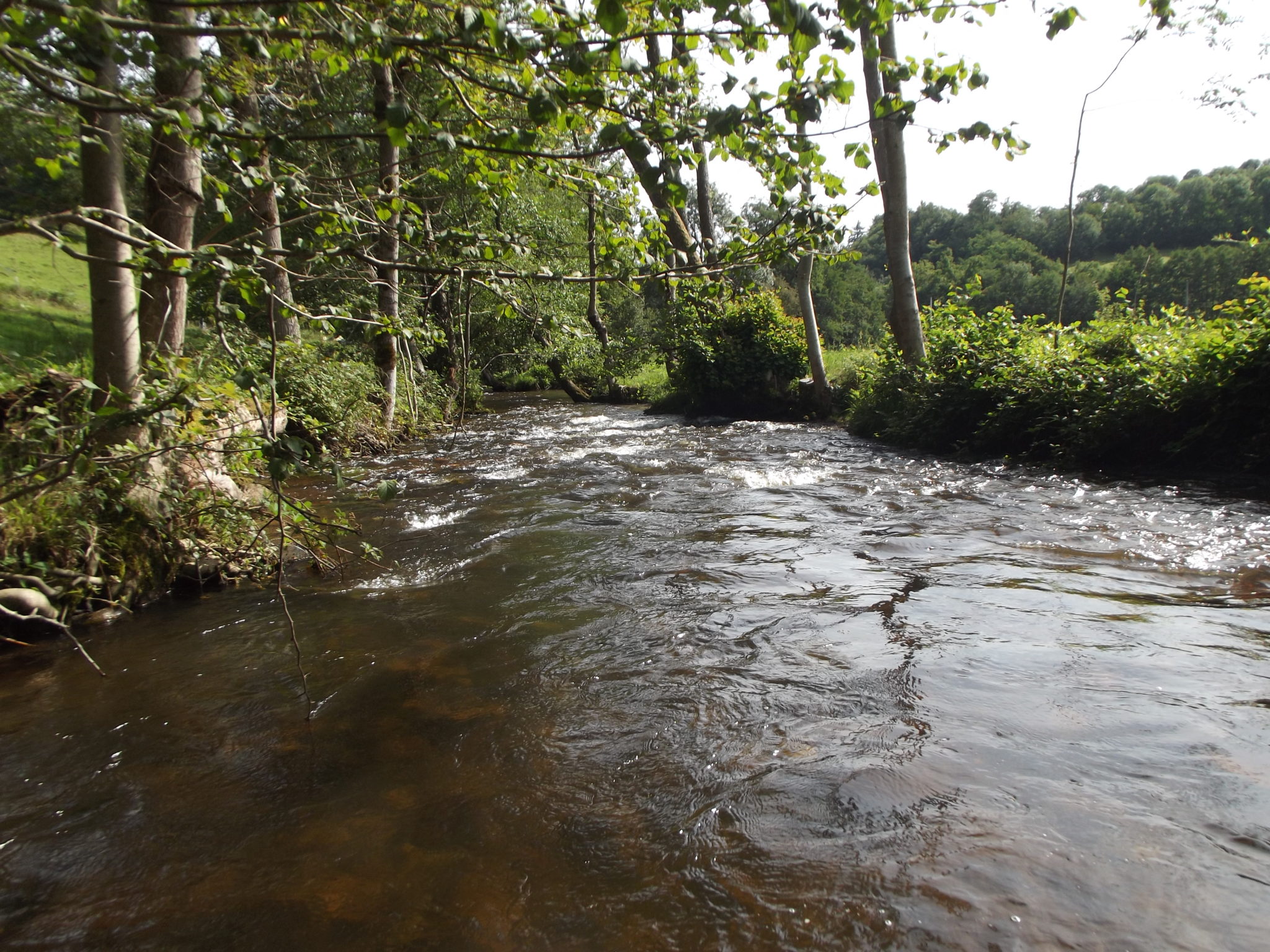
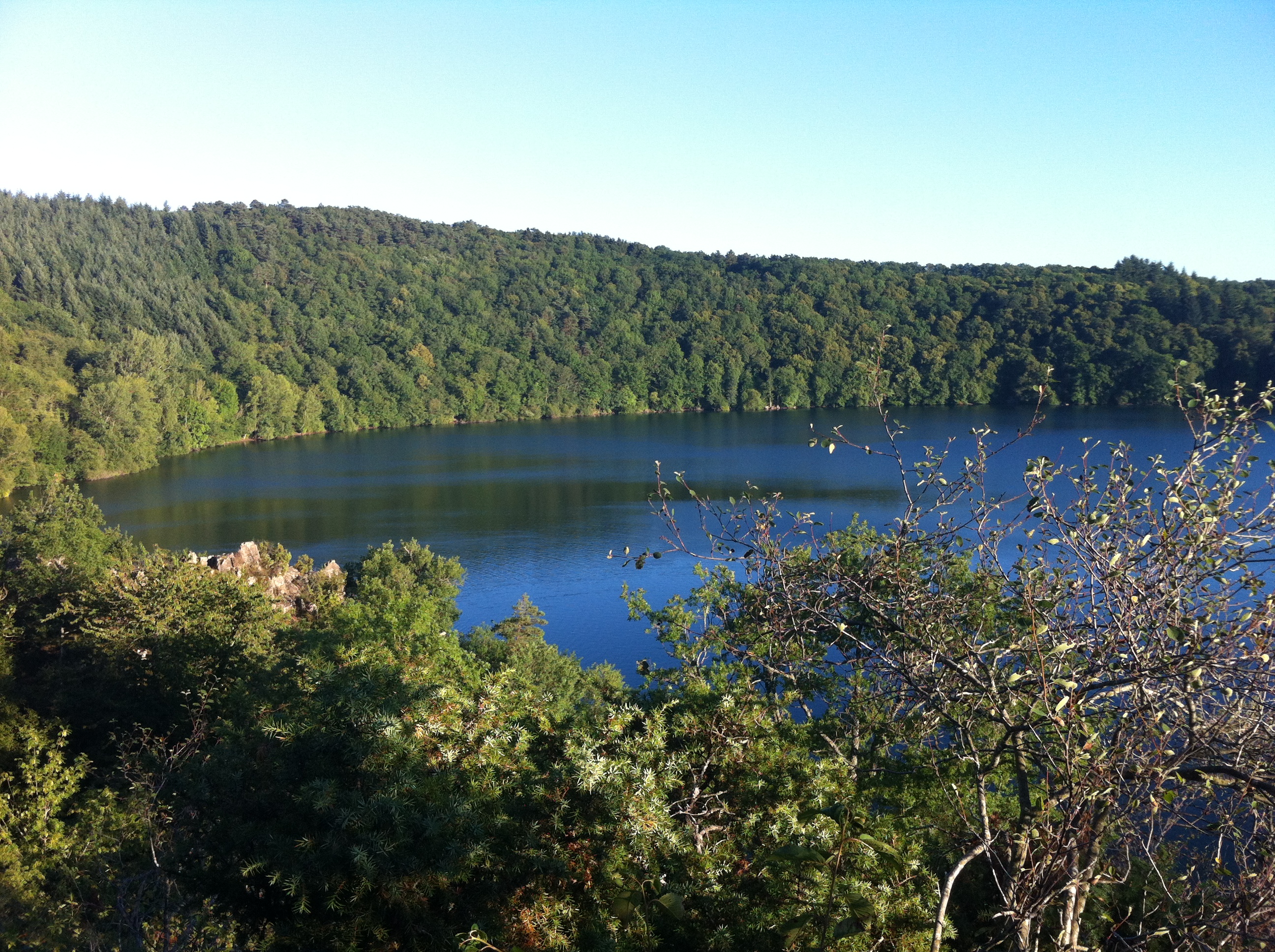
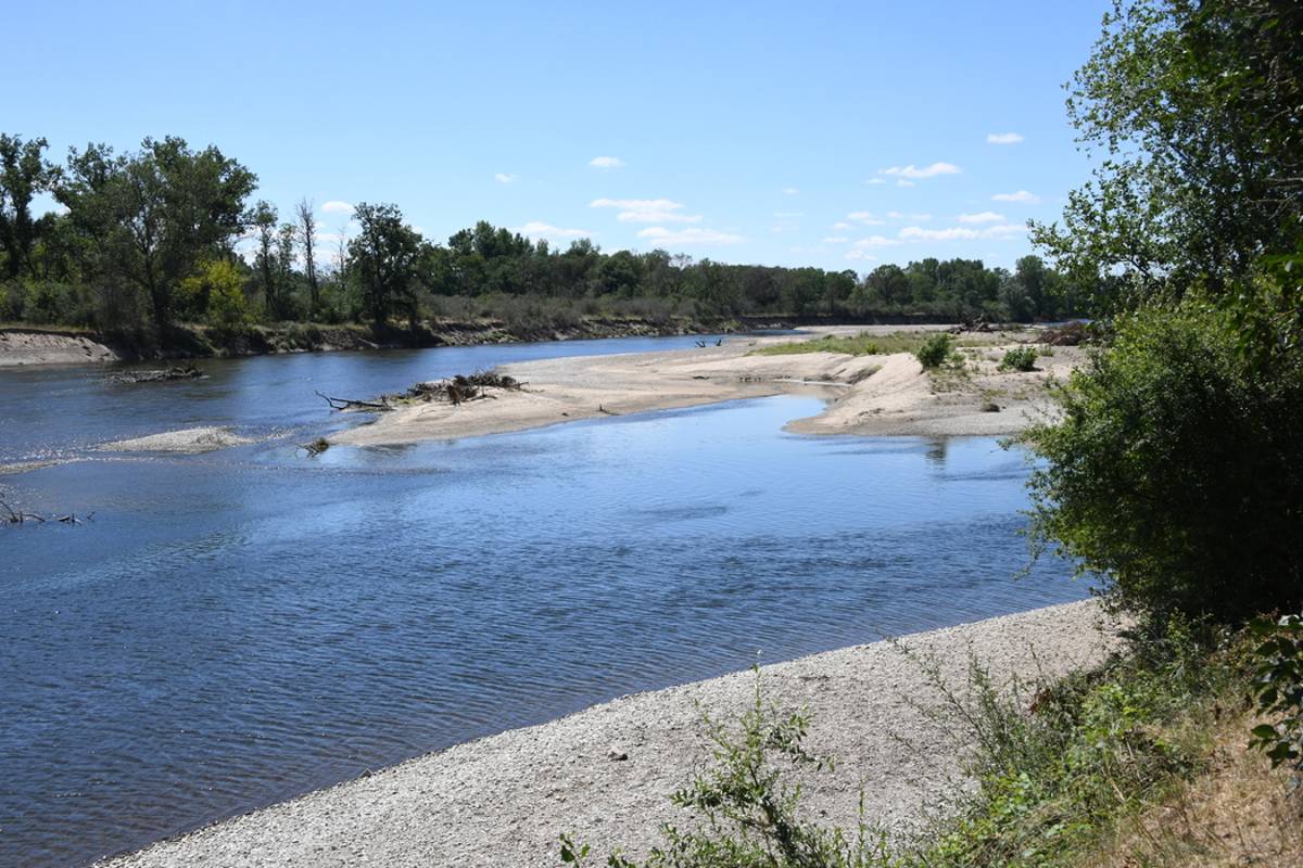
Departing from Monétay-sur-Allier, this walk runs along the Allier to reach Châtel-de-Neuvre, mainly in the undergrowth, before returning to the starting point by the same path.

Already more than 200,000 users!
Uphill
113m
Highest point
289m
Downhill
113m
Lowest point
218m
Route type
There and back
Download the map on your smartphone to save battery and rest assured to always keep access to the route, even without signal.
Includes IGN France and Swisstopo.
I indicate whether dogs are allowed or prohibited on this trail
All year
0 ratings
Also enjoy:

Already more than 200,000 users!