Uphill
641m
Length
10km
Duration
4h30min
Elev gain
641m
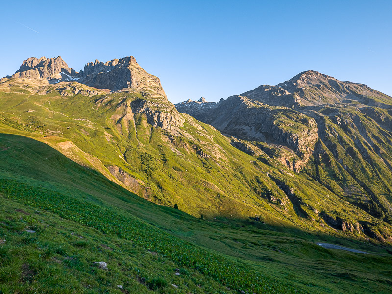
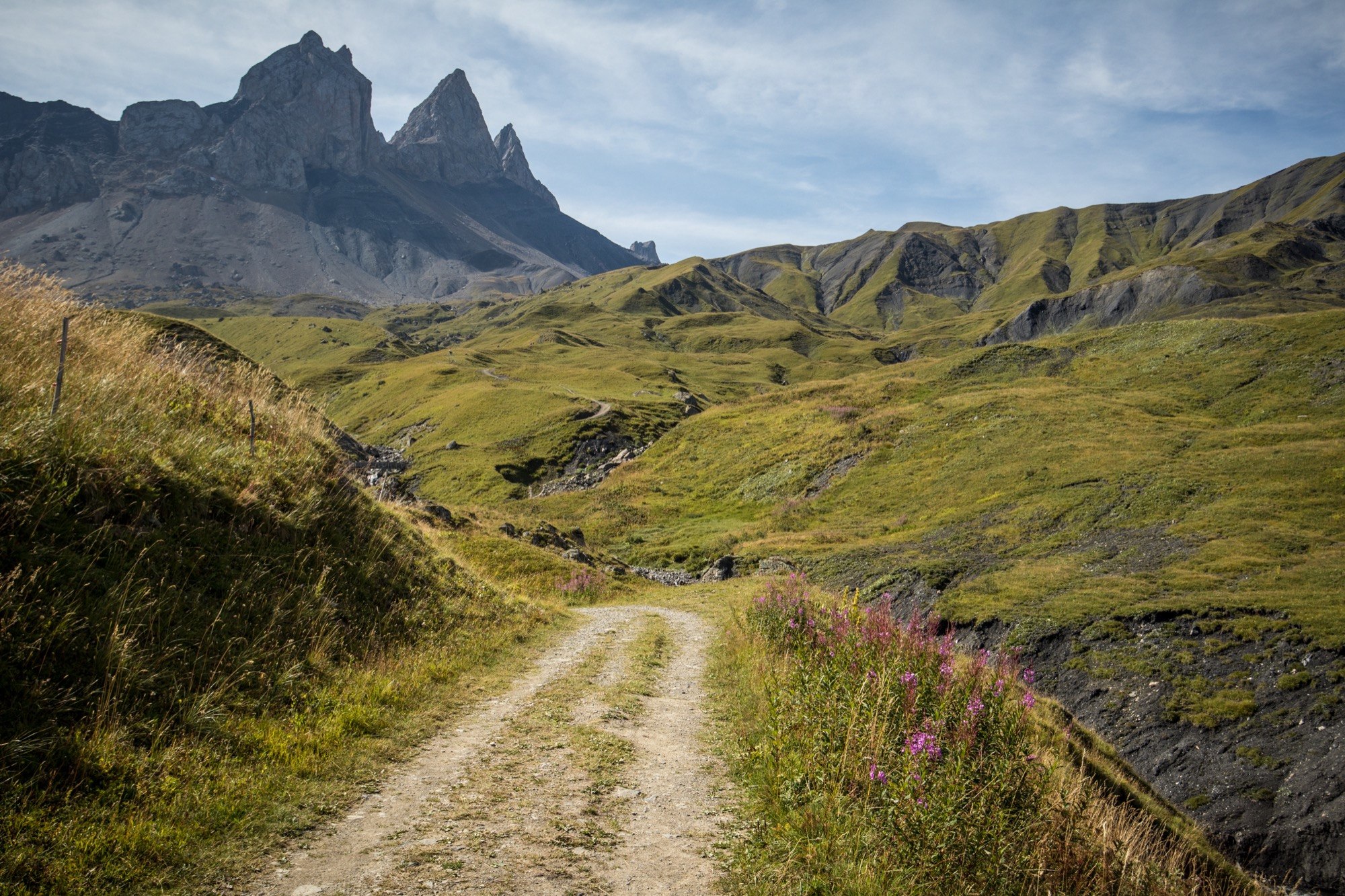
Nice there and back trail leading to the Basse du Gerbier. The path crosses beautiful alpine meadows and streams before arriving at the foot of the Aiguilles d'Arves. Up there, the view is breathtaking.

Already more than 200,000 users!
Uphill
641m
Highest point
2563m
Downhill
641m
Lowest point
1914m
Route type
There and back
Download the map on your smartphone to save battery and rest assured to always keep access to the route, even without signal.
Includes IGN France and Swisstopo.
I indicate whether dogs are allowed or prohibited on this trail
From June to September
0 ratings
Also enjoy:

Already more than 200,000 users!