Uphill
570m
Length
6km
Duration
4h
Elev gain
570m
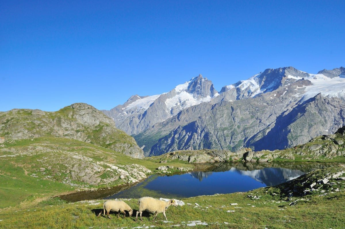
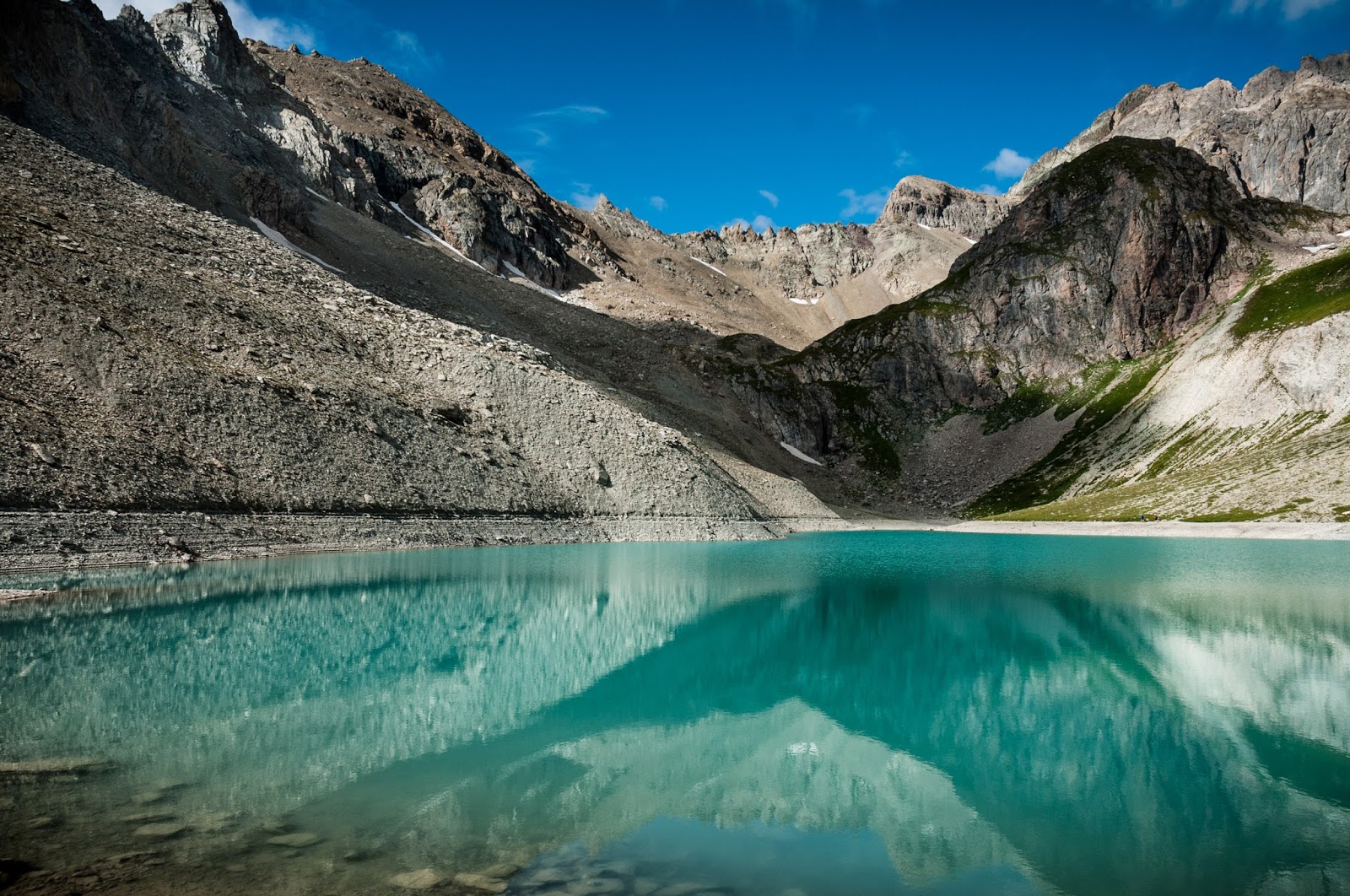
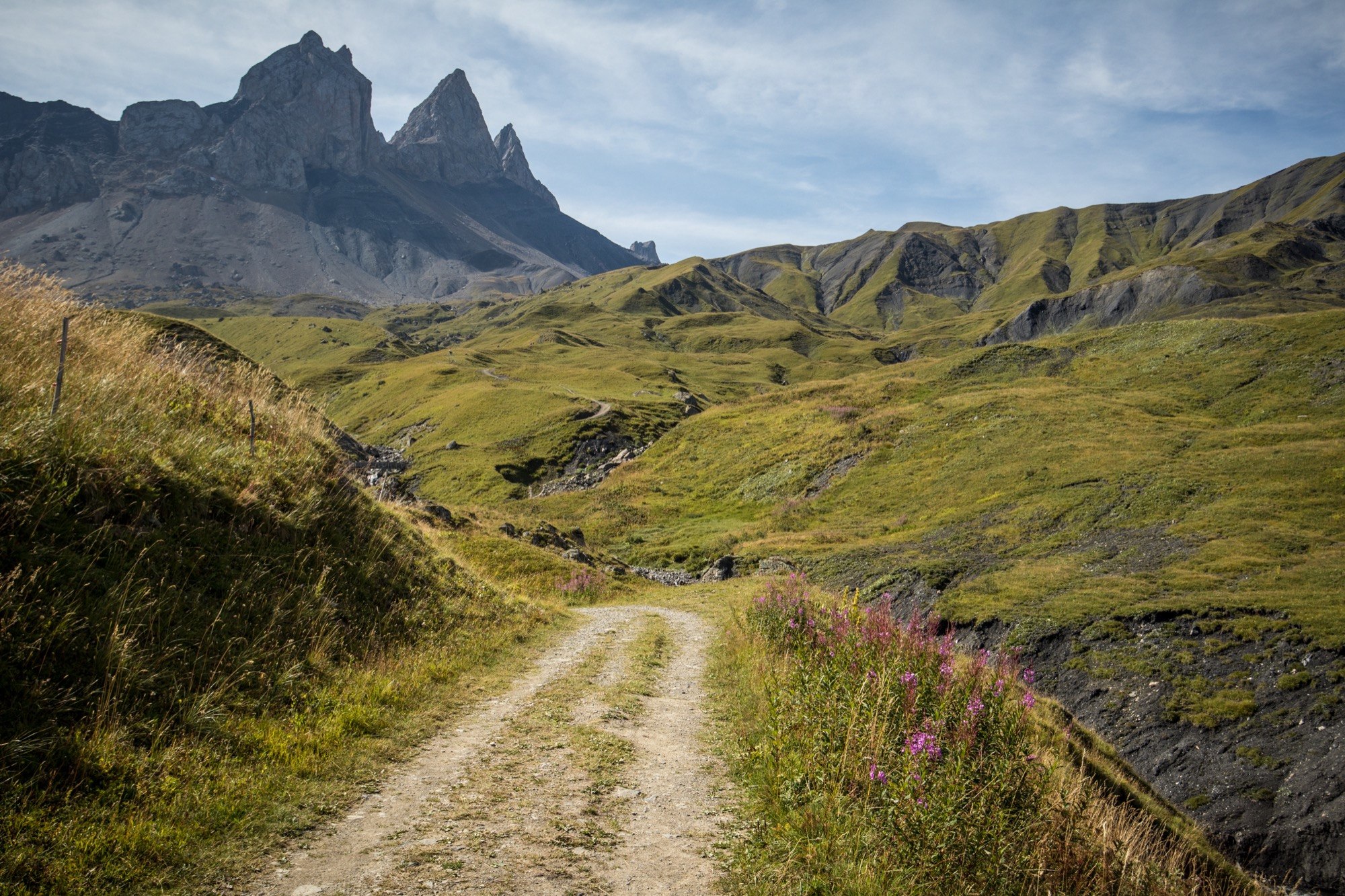
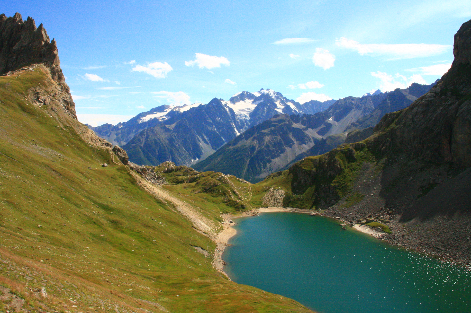
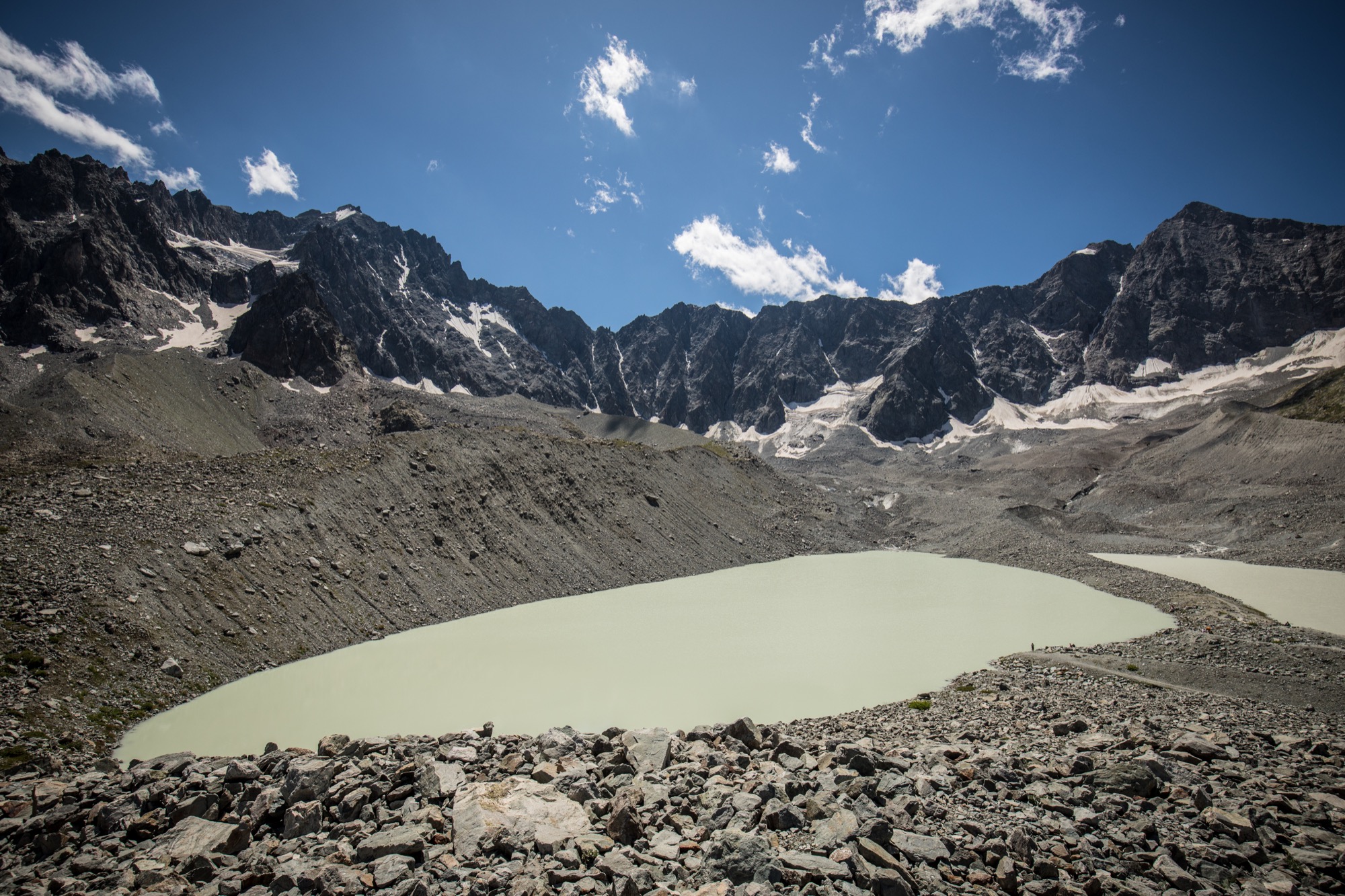
Starting near Valfroide, this path has a steep slope devoid of vegetation up to the Lac du Goléon.
Note that it is possible to bivouac next to the lake.

Already more than 200,000 users!
Uphill
570m
Highest point
2466m
Downhill
570m
Lowest point
1897m
Route type
There and back
Download the map on your smartphone to save battery and rest assured to always keep access to the route, even without signal.
Includes IGN France and Swisstopo.
I indicate whether dogs are allowed or prohibited on this trail
From June to September
0 ratings
Also enjoy:

Already more than 200,000 users!