Uphill
759m
France > Provence-Alpes-Côte d'Azur > Hautes-Alpes
Length
14km
Duration
6h
Elev gain
759m
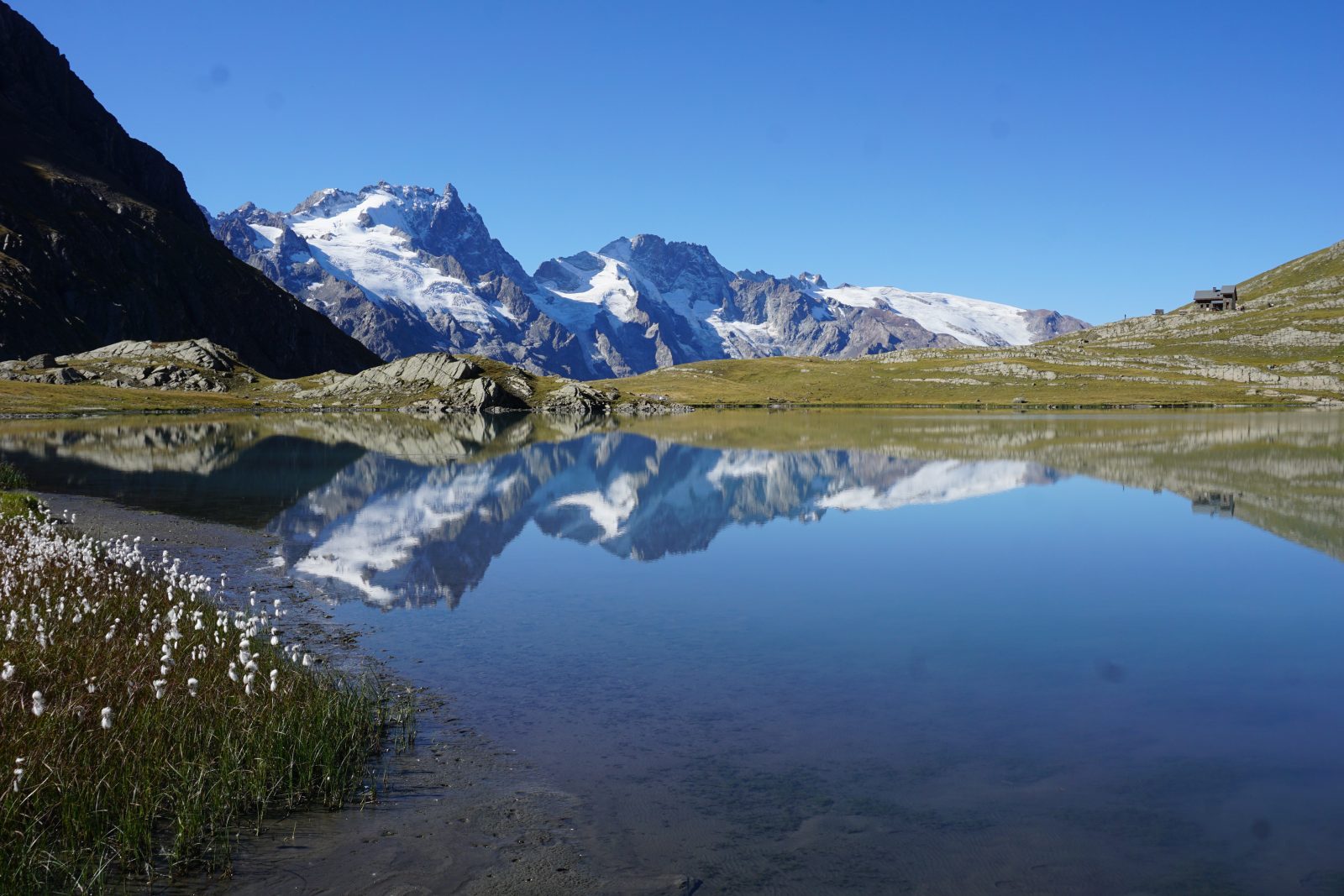
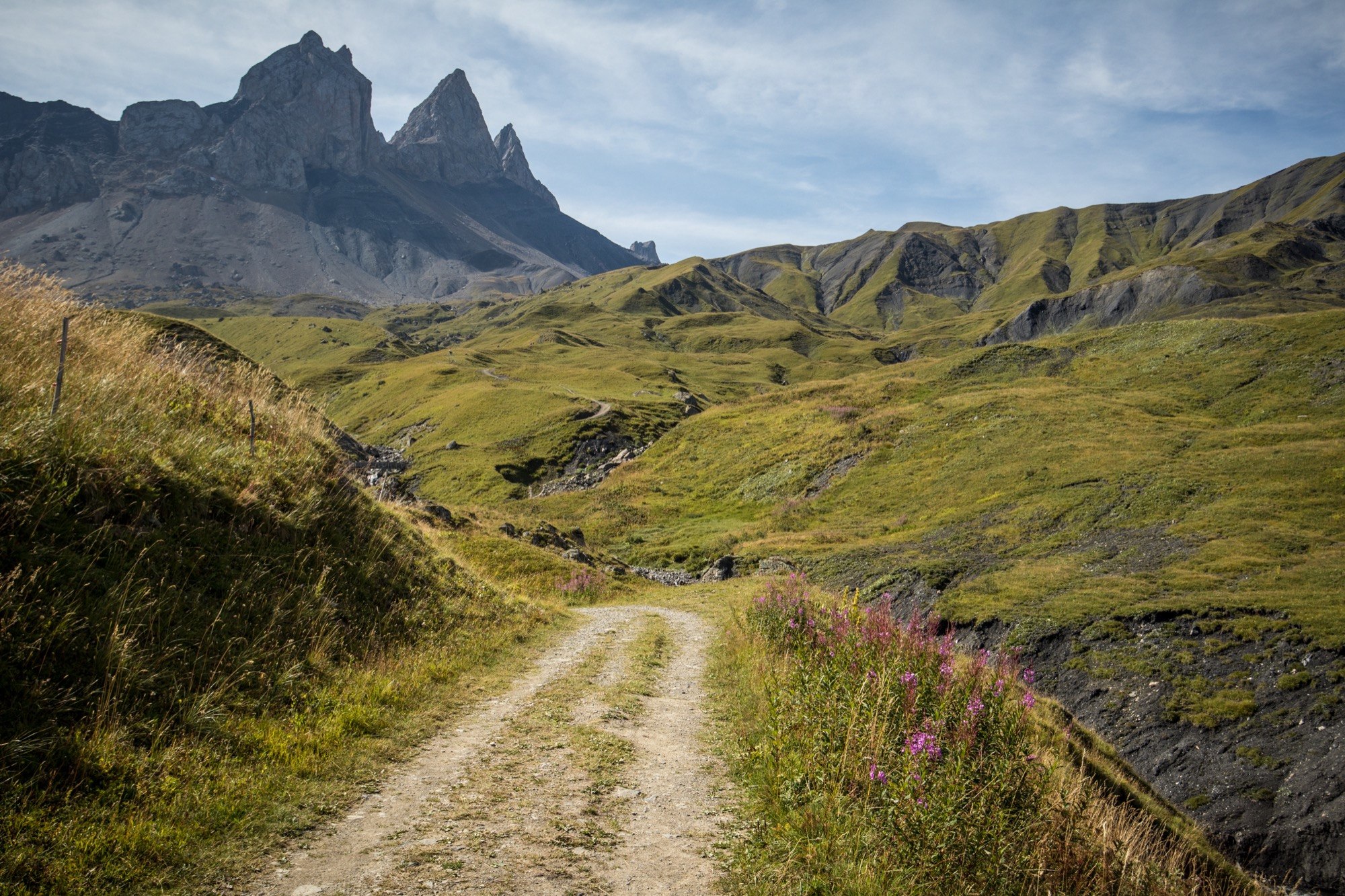
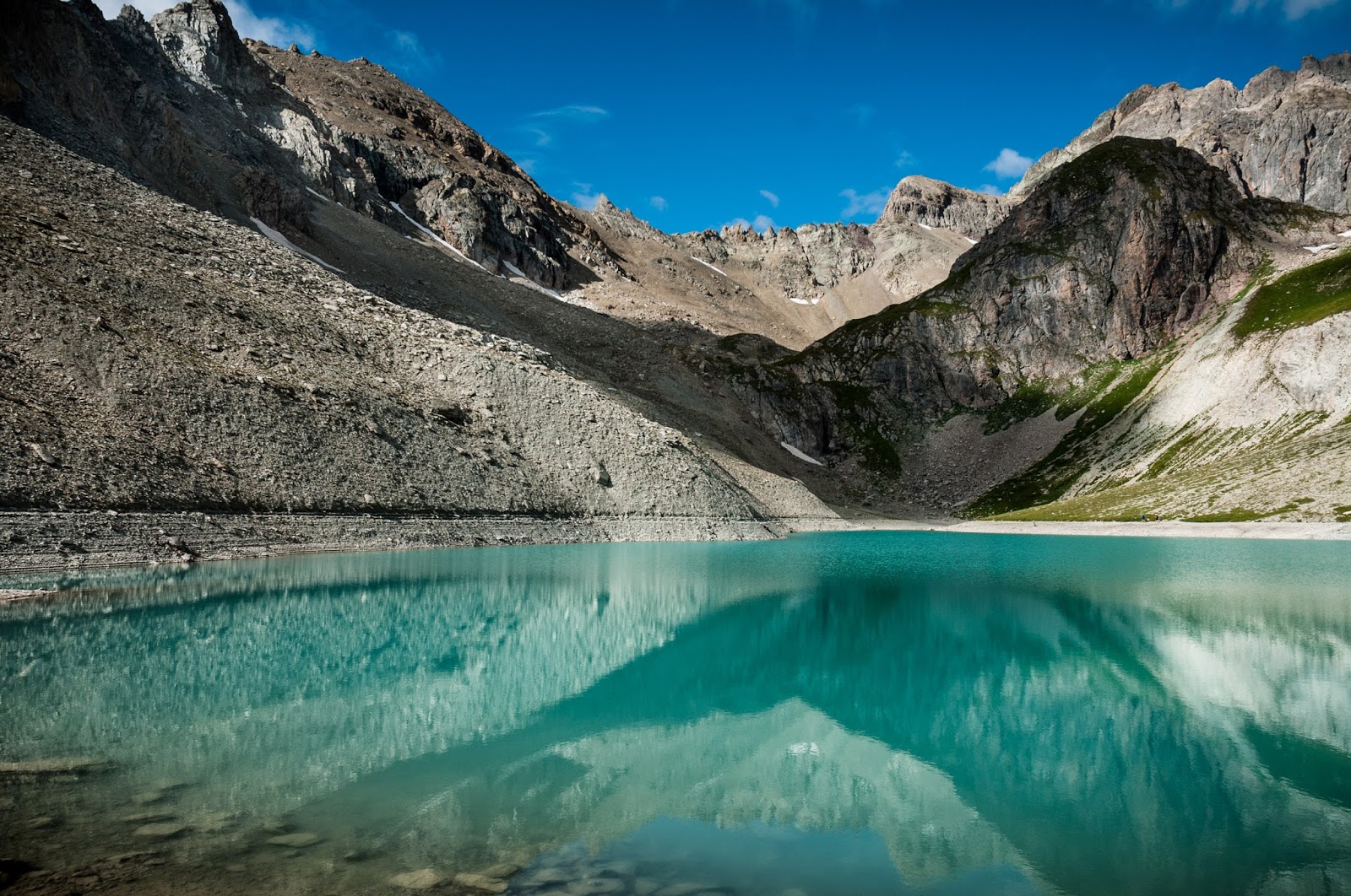
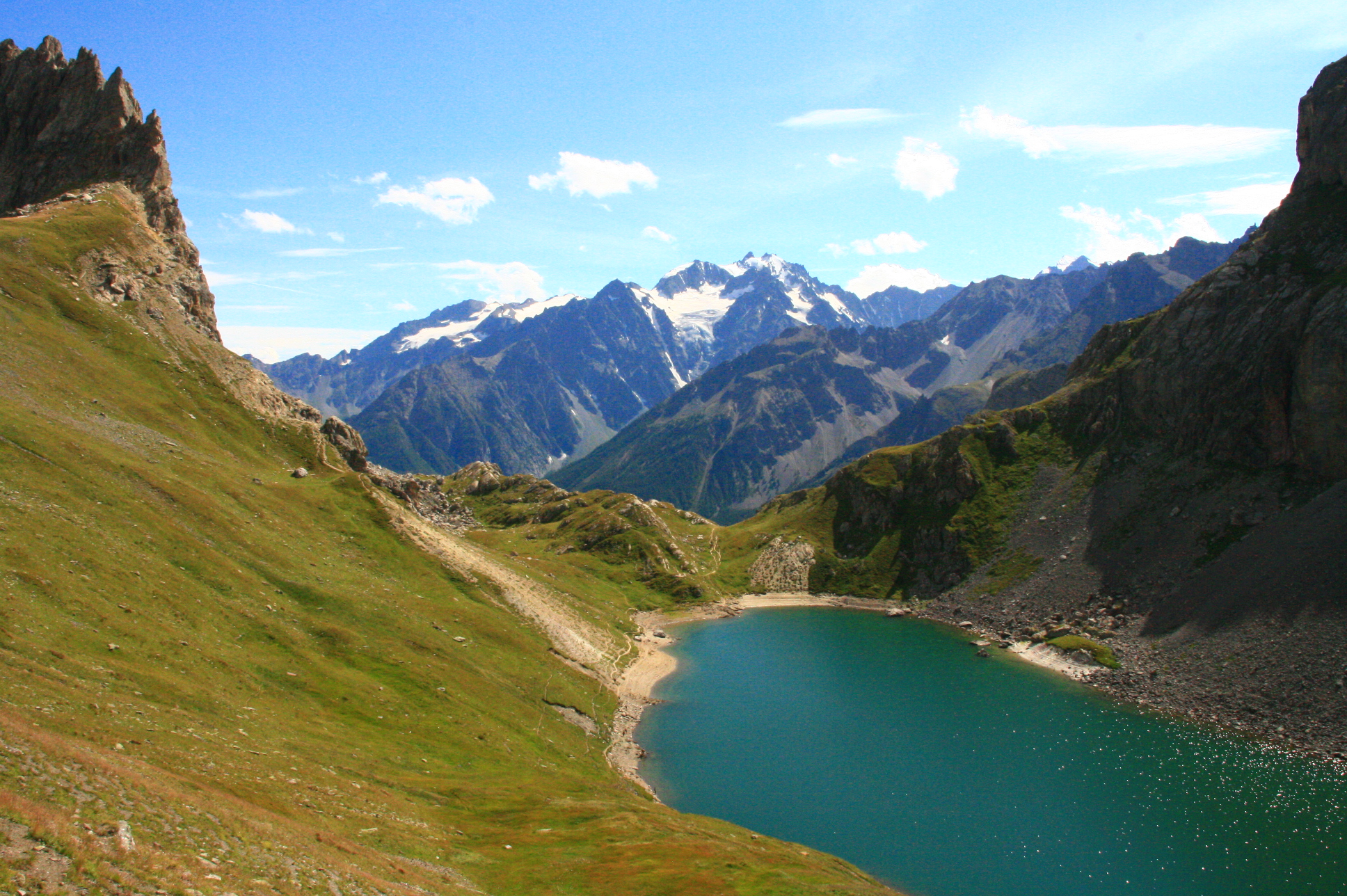
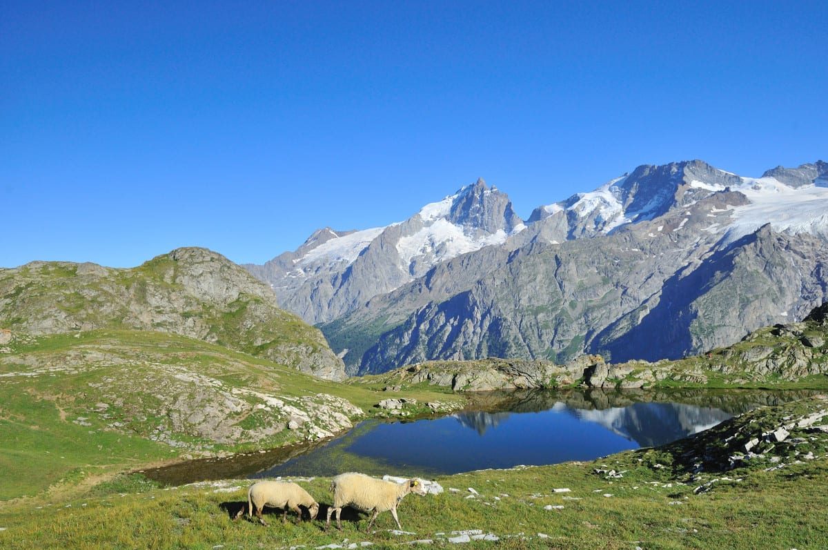
A hike in the middle of pastures, offering superb views of the Meije.

Already more than 200,000 users!
Uphill
759m
Highest point
2467m
Downhill
759m
Lowest point
1738m
Route type
There and back
Download the map on your smartphone to save battery and rest assured to always keep access to the route, even without signal.
Includes IGN France and Swisstopo.
Authorised on a leash
From June to September
2 ratings
Also enjoy:

Already more than 200,000 users!