Uphill
492m
Length
10km
Duration
4h
Elev gain
492m
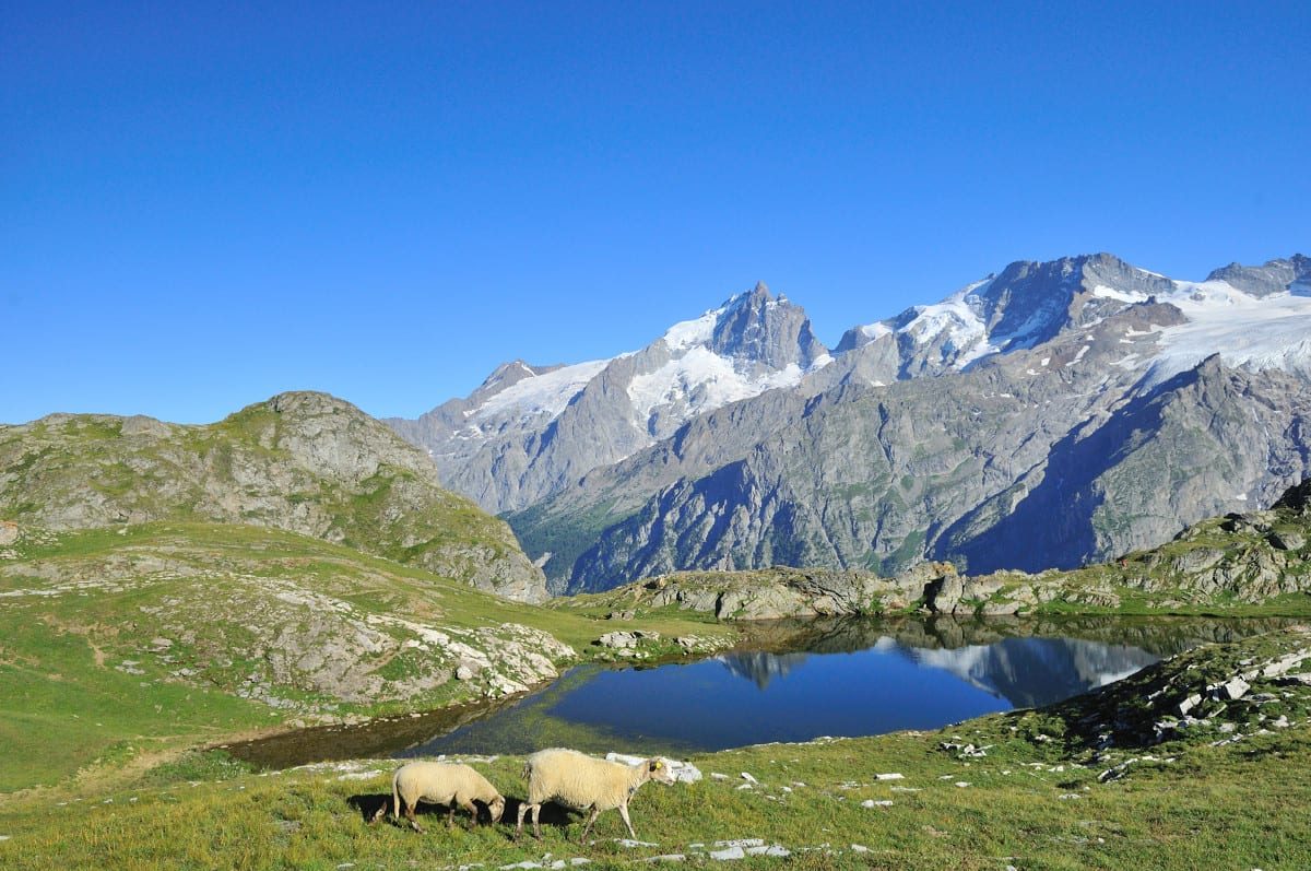
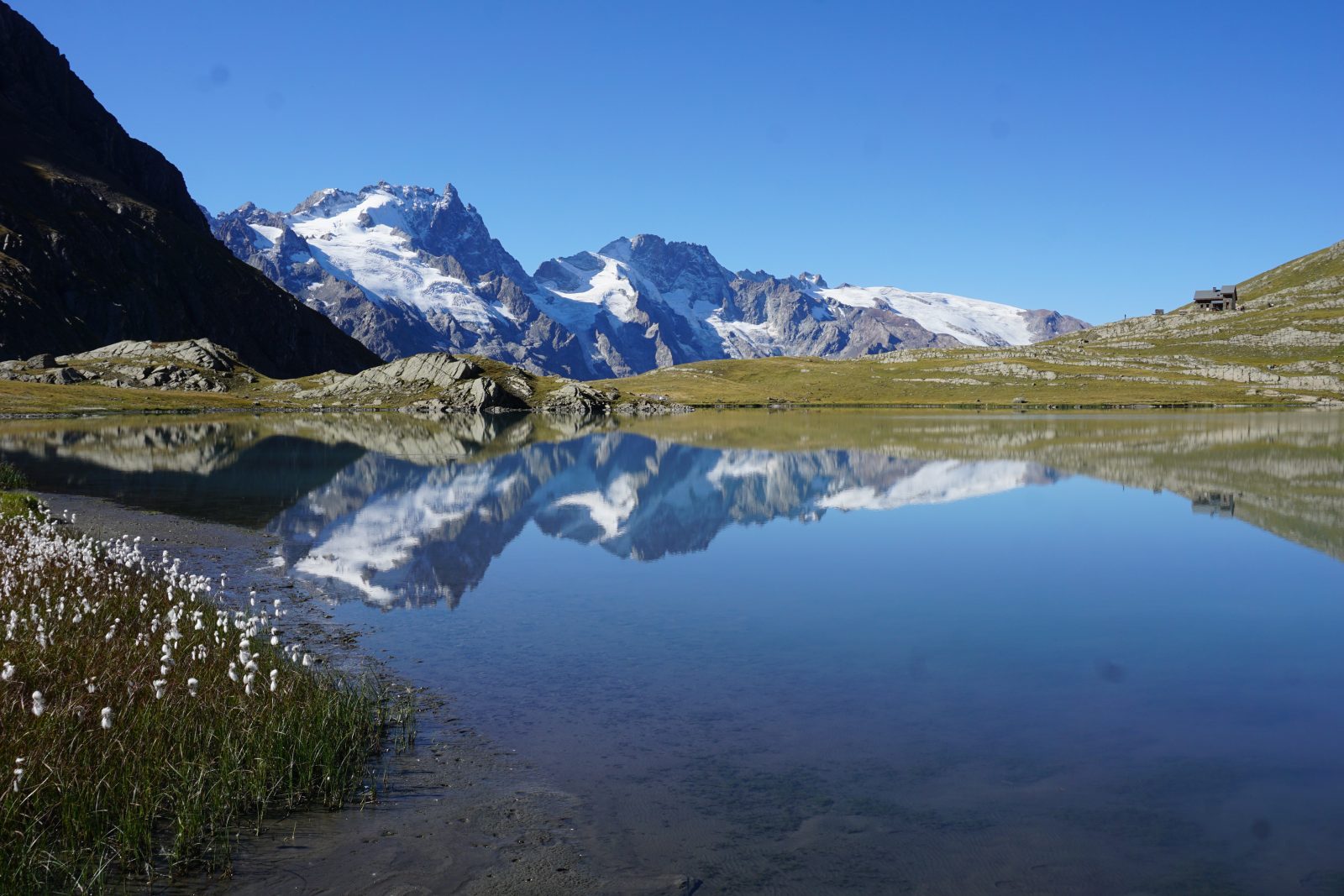
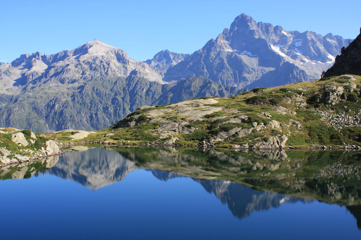
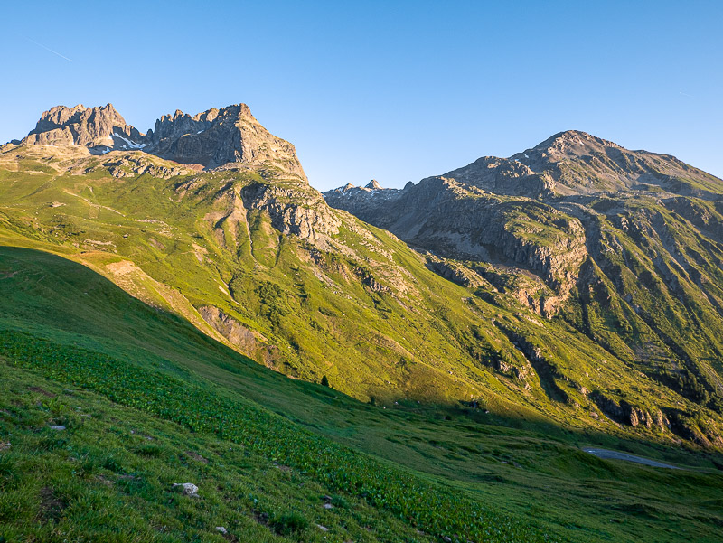
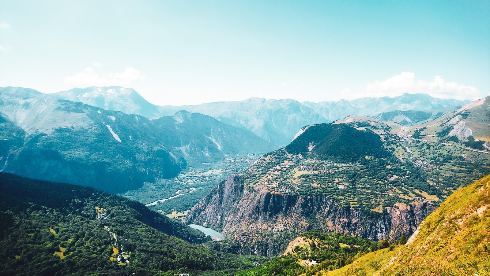
Hike above the ski resort of Les Deux Alpes. The trail climbs gradually to the crest of Fioc (2,076 m) then continues to Mais (2,106 m). The environment is wild and the view of the surrounding mountains is splendid.

Already more than 200,000 users!
Uphill
492m
Highest point
2103m
Downhill
492m
Lowest point
1647m
Route type
Loop
Download the map on your smartphone to save battery and rest assured to always keep access to the route, even without signal.
Includes IGN France and Swisstopo.
I indicate whether dogs are allowed or prohibited on this trail
From May to September
1 rating
Also enjoy:

Already more than 200,000 users!