Uphill
555m

Length
6km
Duration
4h
Elev gain
555m
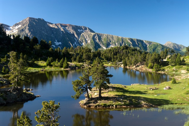
From the hamlet of La Danchère, this is a hike to the beautiful Lauvitel lake. Pleasant climb in a wooded environment and along a stream.
The place is usually quite busy, but it is possible to isolate yourself by the lake, ideal for a picnic or a cool swim.

Already more than 200,000 users!
Uphill
555m
Highest point
1551m
Downhill
555m
Lowest point
990m
Route type
Loop
Download the map on your smartphone to save battery and rest assured to always keep access to the route, even without signal.
Includes IGN France and Swisstopo.
I indicate whether dogs are allowed or prohibited on this trail
Can be difficult in Winter
4 ratings
Also enjoy:

Already more than 200,000 users!