Uphill
273m

Length
8km
Duration
2h30min
Elev gain
273m
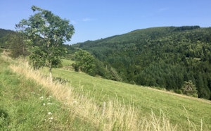
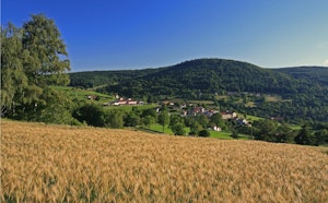
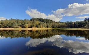
Here is a nice hike between Lalouvesc and Bobignieux. The route, mainly in the forest, joins Mont Besset (1,191 m) by the Chemin des Chirattes then continues to the hamlet of Bobignieux before returning to the starting point.

Already more than 200,000 users!
Uphill
273m
Highest point
1193m
Downhill
273m
Lowest point
973m
Route type
Loop
Download the map on your smartphone to save battery and rest assured to always keep access to the route, even without signal.
Includes IGN France and Swisstopo.
I indicate whether dogs are allowed or prohibited on this trail
All year
0 ratings
Also enjoy:

Already more than 200,000 users!