Uphill
144m
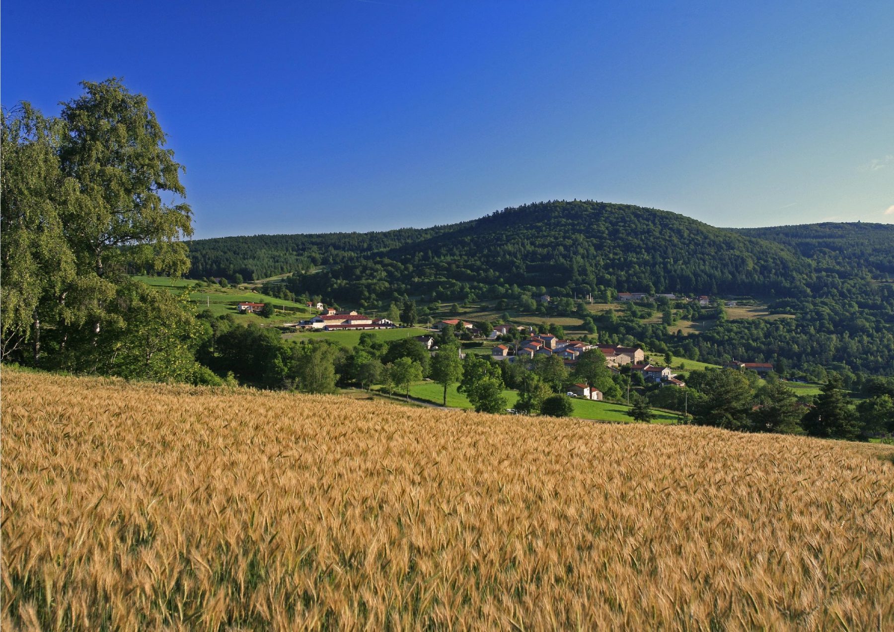
France > Auvergne-Rhône-Alpes > Loire > Pilat Regional Natural Park
Length
5km
Duration
1h30min
Elev gain
144m
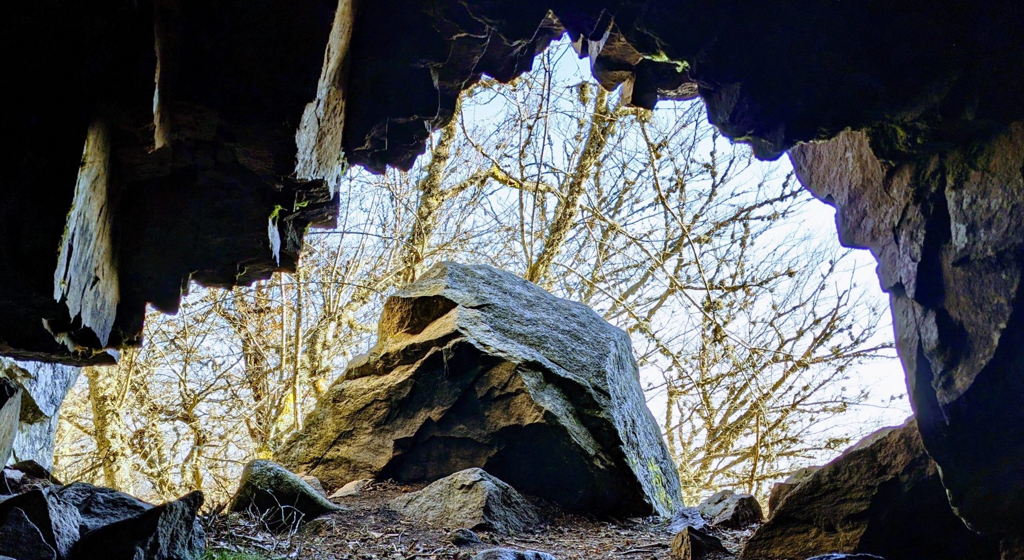
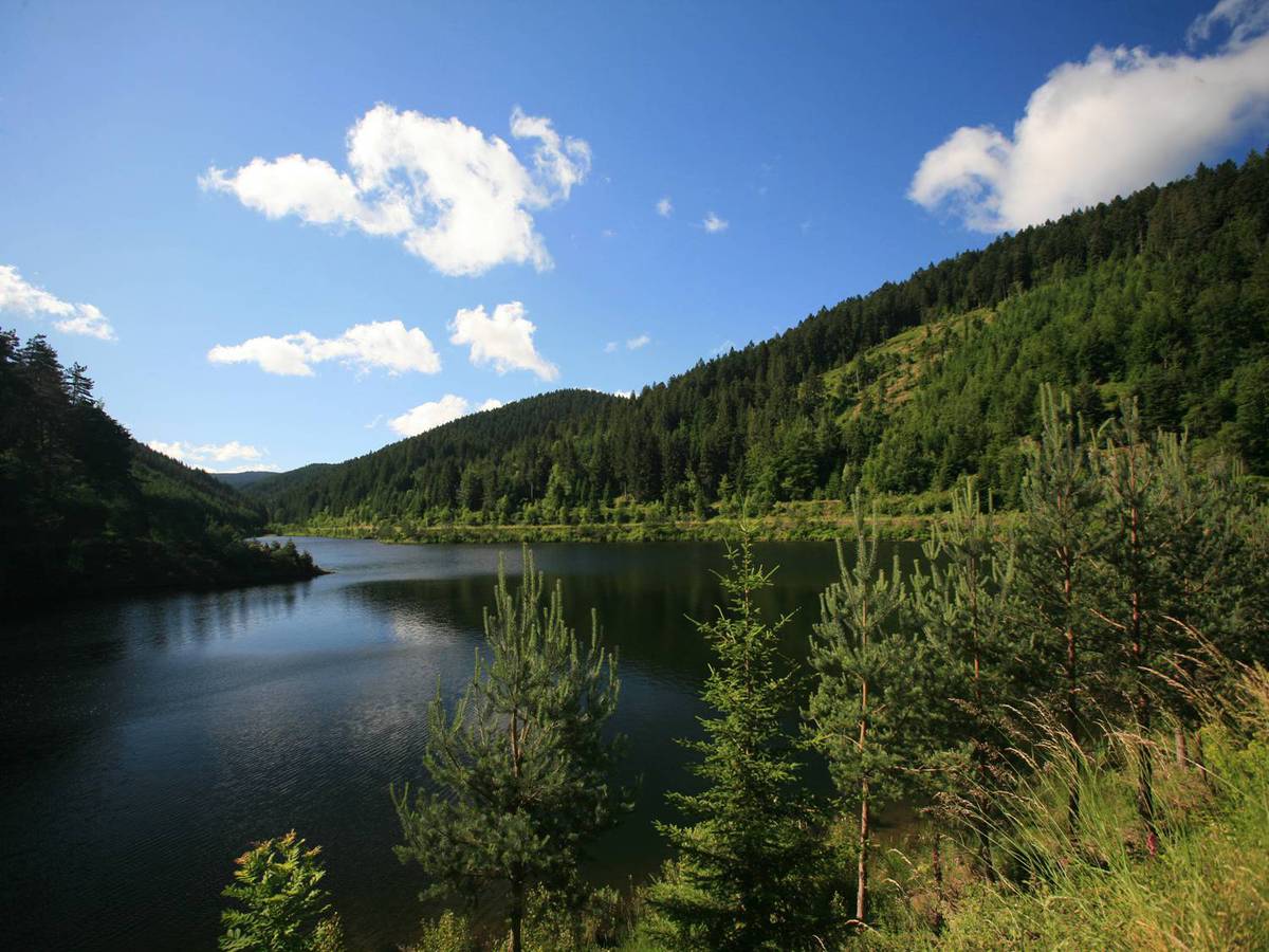
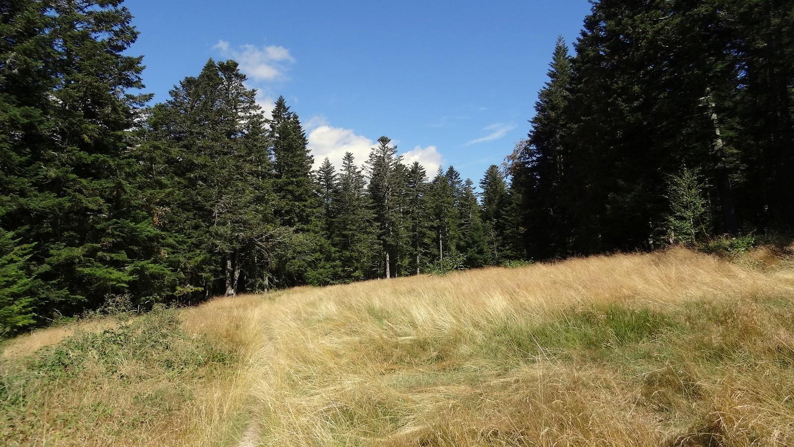
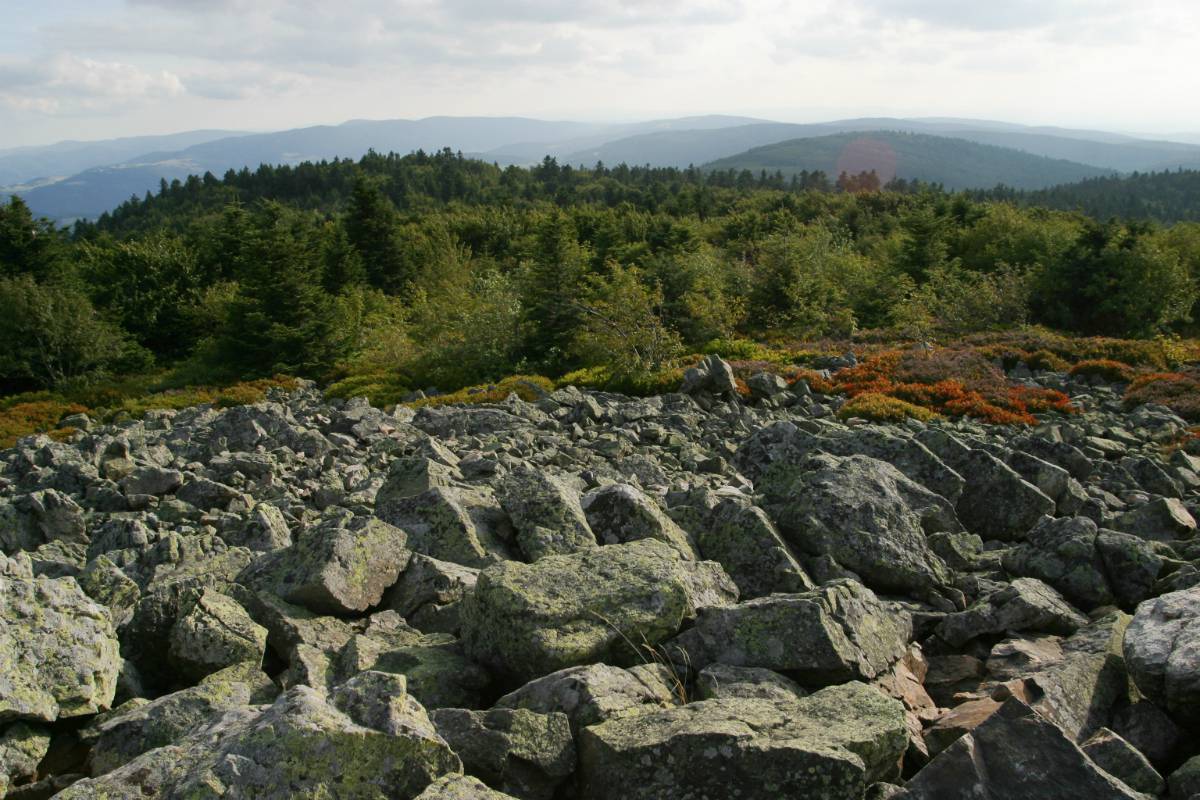
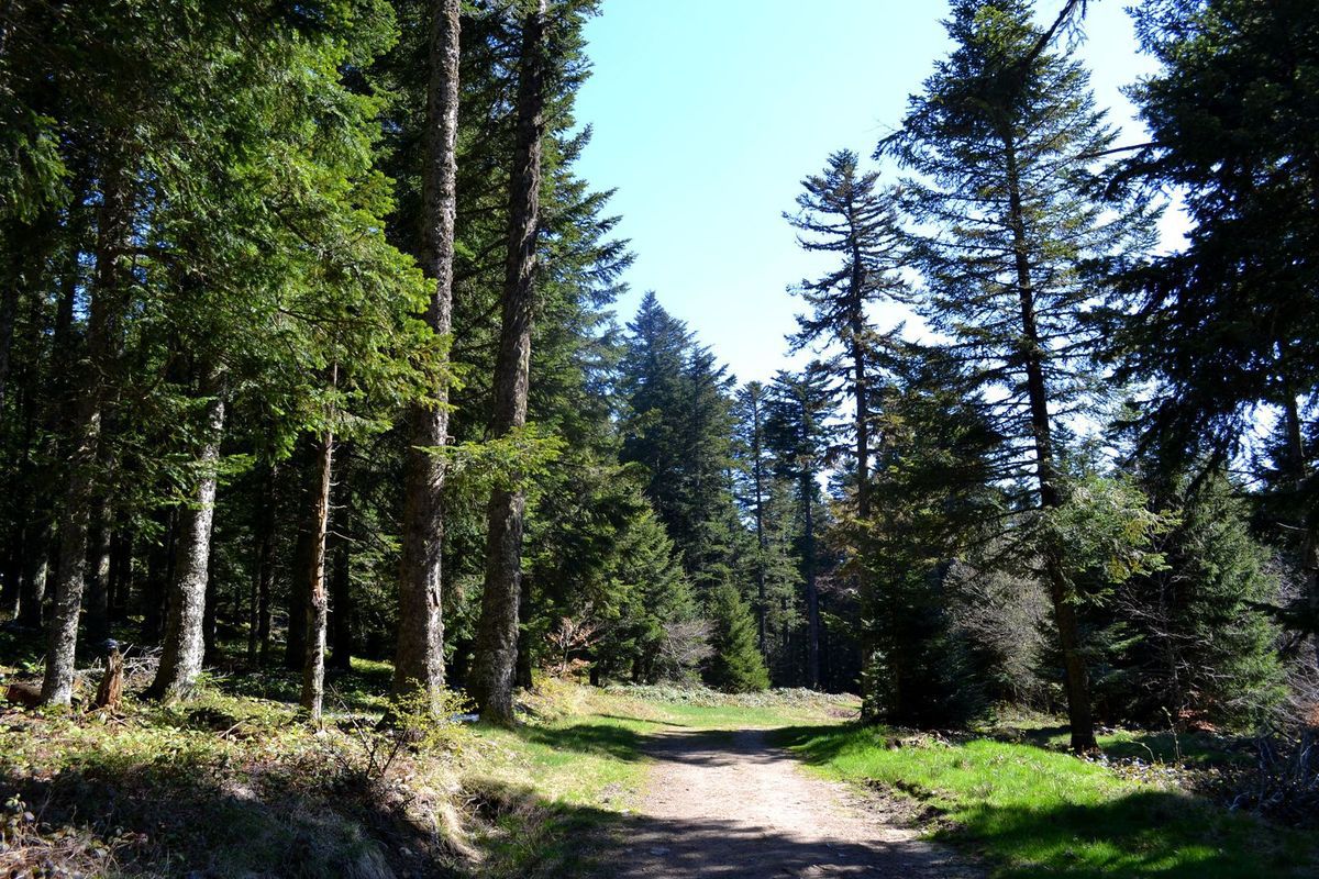
Located south of Versanne, this walk loops around Argental, over hilly terrain and mainly in the forest.

Already more than 200,000 users!
Uphill
144m
Highest point
976m
Downhill
144m
Lowest point
844m
Route type
Loop
Download the map on your smartphone to save battery and rest assured to always keep access to the route, even without signal.
Includes IGN France and Swisstopo.
I indicate whether dogs are allowed or prohibited on this trail
Can be difficult in Winter
0 ratings
Also enjoy:

Already more than 200,000 users!