Uphill
466m
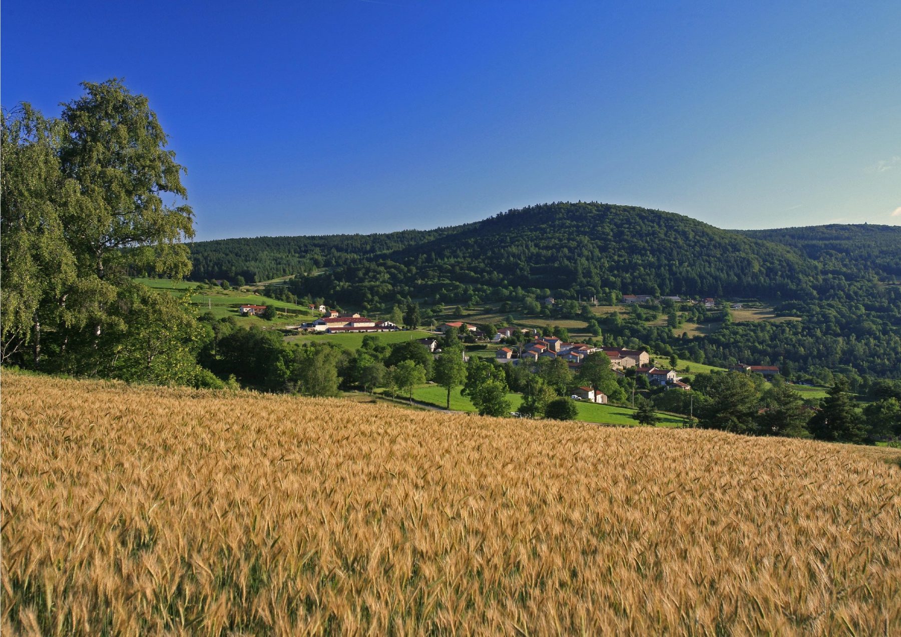
France > Auvergne-Rhône-Alpes > Loire > Pilat Regional Natural Park
Length
13km
Duration
4h30min
Elev gain
466m
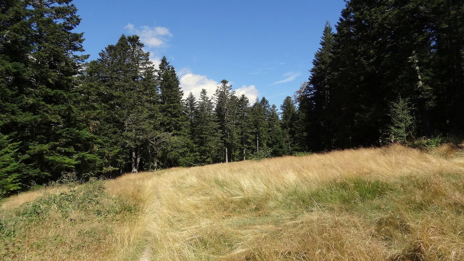
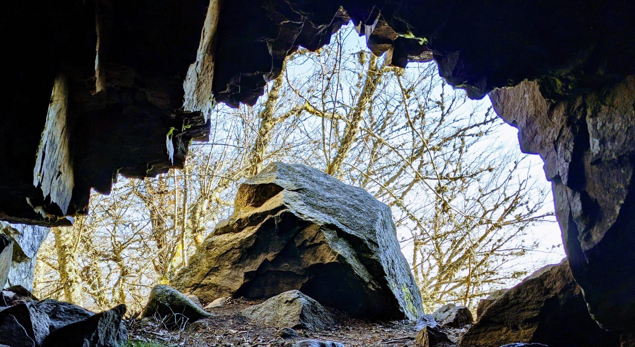
Departing from La Versanne, on the eastern slope of the Col du Grand Bois, this hike makes a loop on the heights of the village. Halfway, the path joins the Sarrazine cave which dominates Bourg-Argental and which would have served as a refuge for Mandrin. The return to the starting point takes a stretch of departmental road.

Already more than 200,000 users!
Uphill
466m
Highest point
1303m
Downhill
466m
Lowest point
885m
Route type
Loop
Download the map on your smartphone to save battery and rest assured to always keep access to the route, even without signal.
Includes IGN France and Swisstopo.
I indicate whether dogs are allowed or prohibited on this trail
Can be difficult in Winter
1 rating
Très bien mais pas vue de grotte malheureusement
Also enjoy:

Already more than 200,000 users!