Uphill
38m
Length
4km
Duration
1h
Elev gain
38m
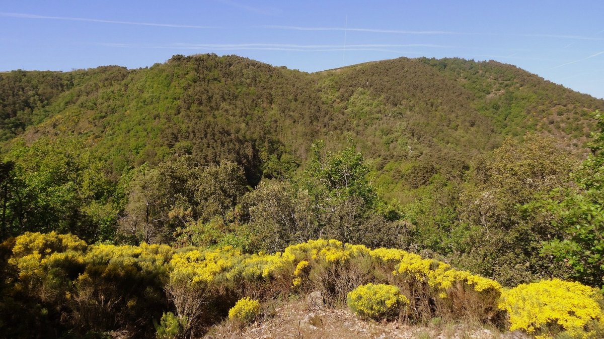
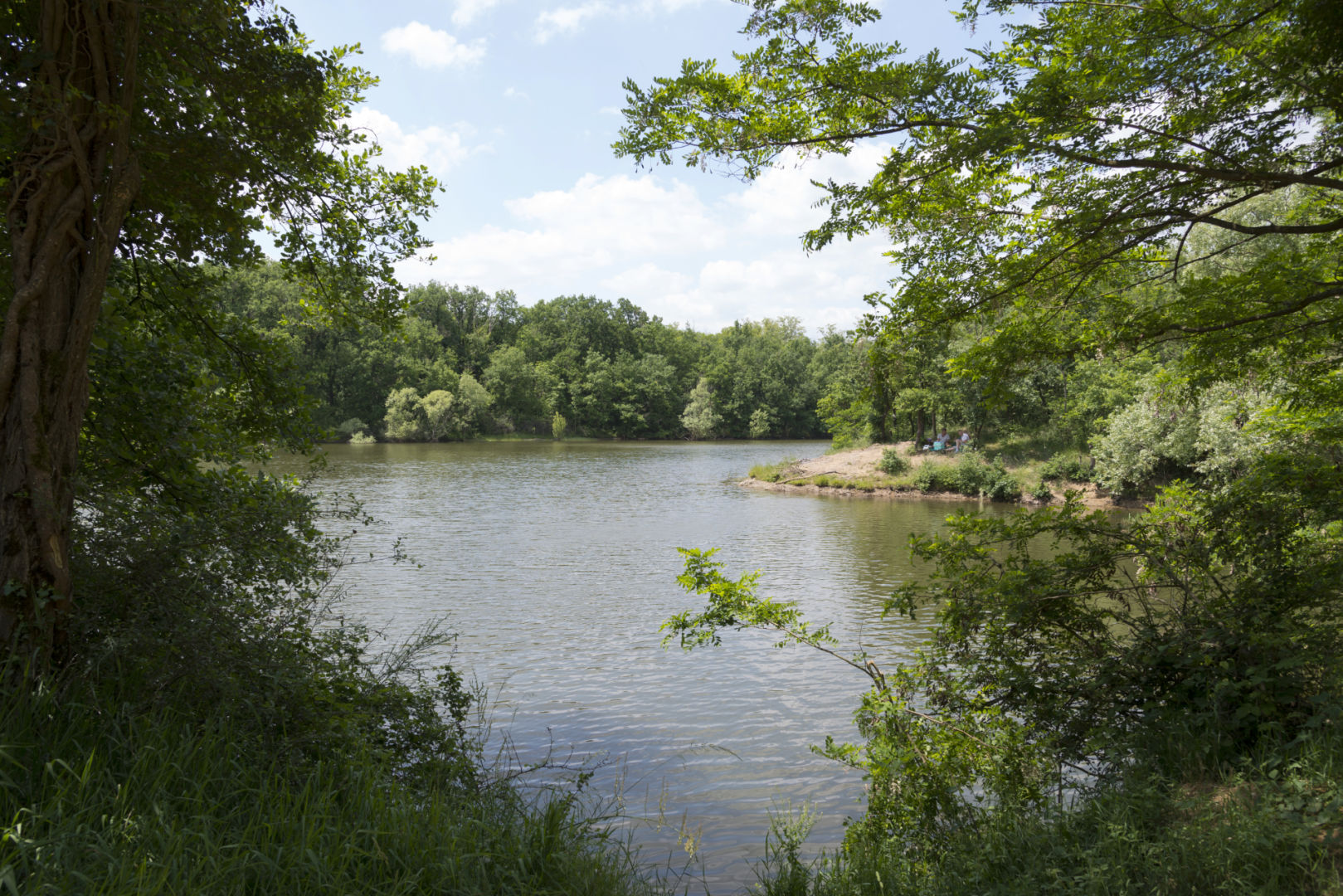
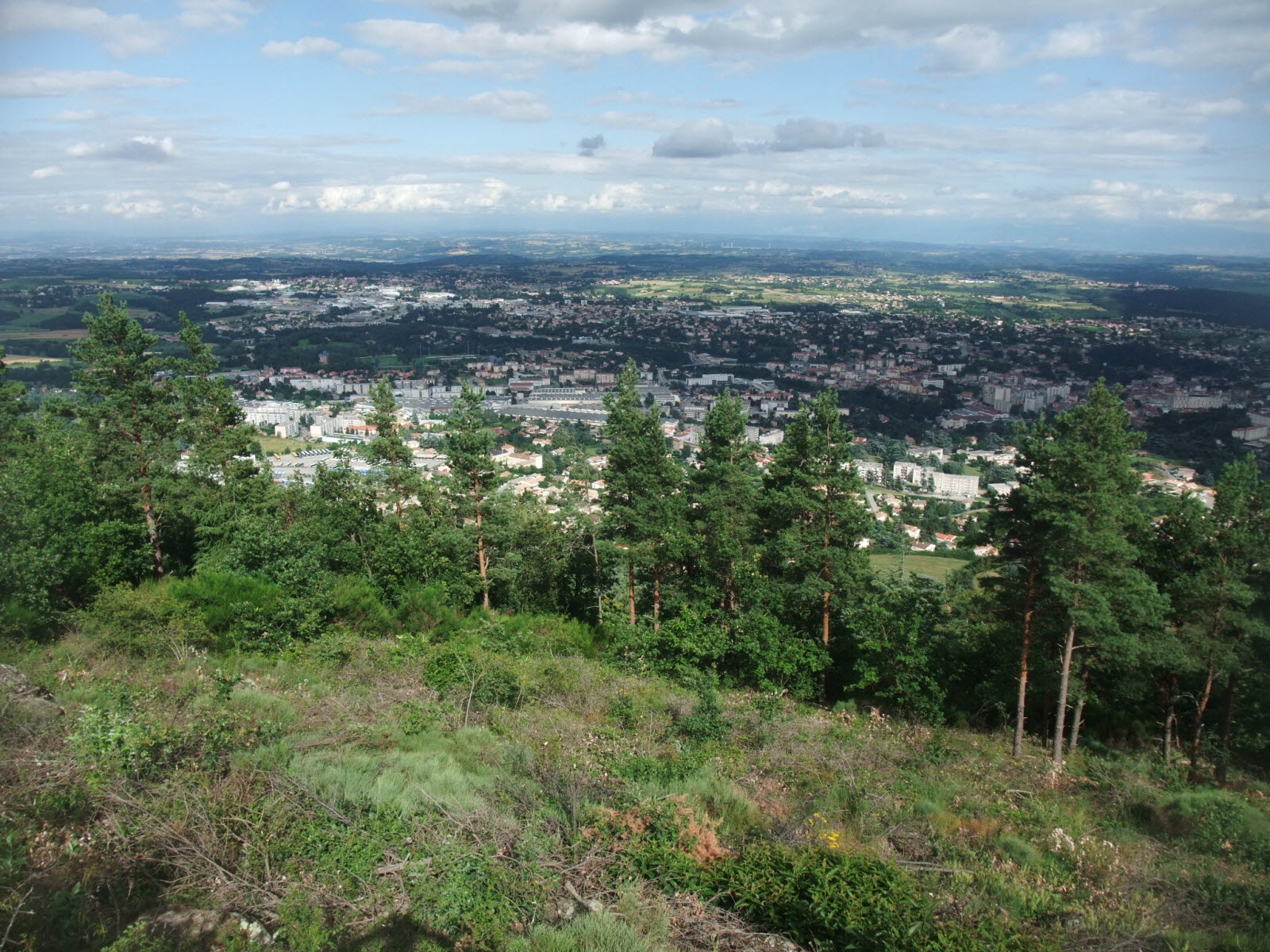
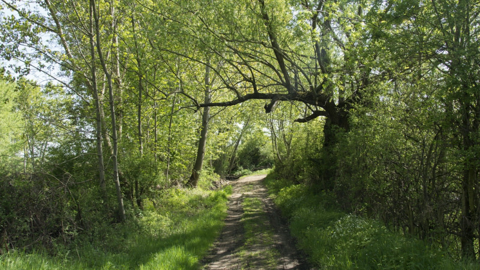
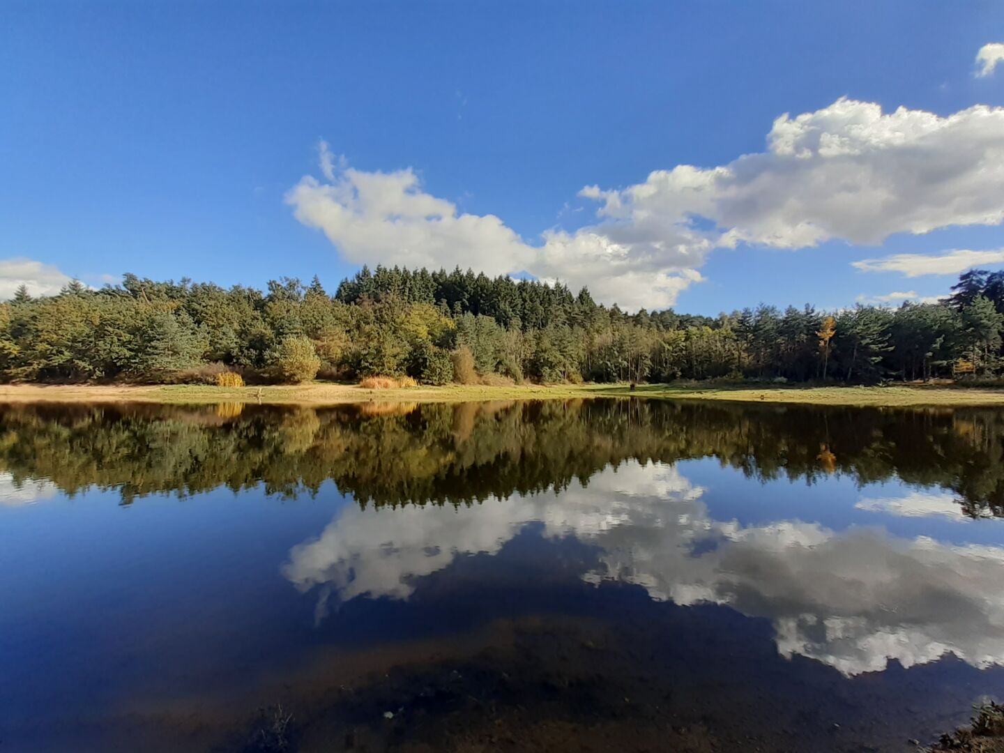
Stroll around the Meinettes lake, an artificial water reservoir created in 1990 on the course of the Ozon river. The trail is equipped with signs on the local flora and fauna.

Already more than 200,000 users!
Uphill
38m
Highest point
414m
Downhill
38m
Lowest point
388m
Route type
Loop
Download the map on your smartphone to save battery and rest assured to always keep access to the route, even without signal.
Includes IGN France and Swisstopo.
I indicate whether dogs are allowed or prohibited on this trail
All year
2 ratings
Also enjoy:

Already more than 200,000 users!