Uphill
337m
Length
8km
Duration
3h
Elev gain
337m
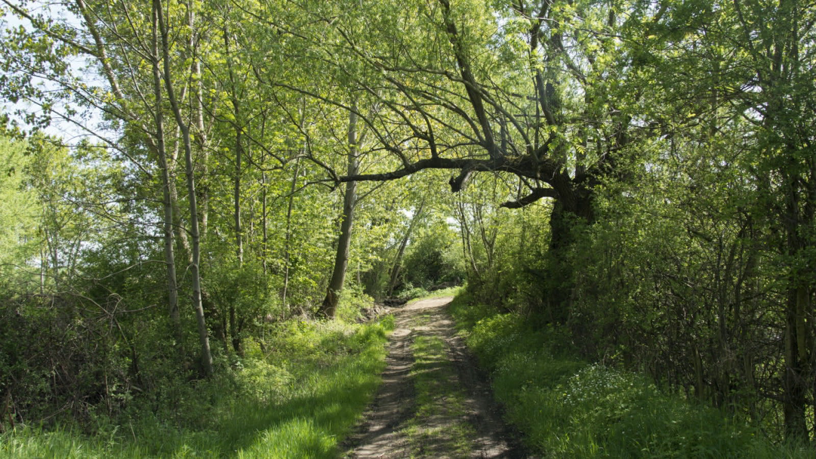
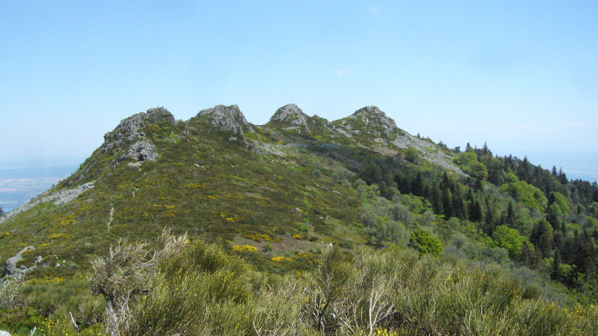
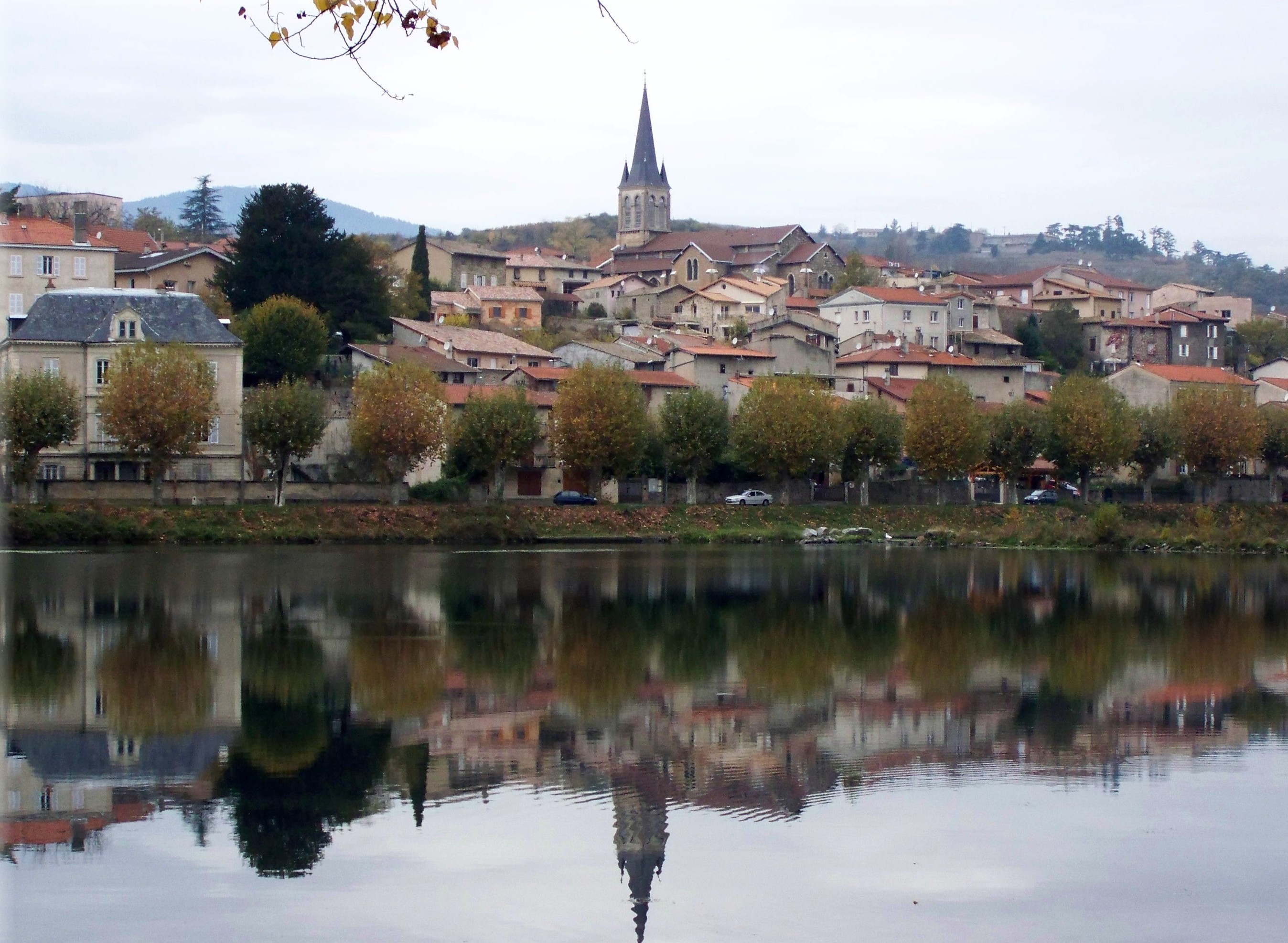
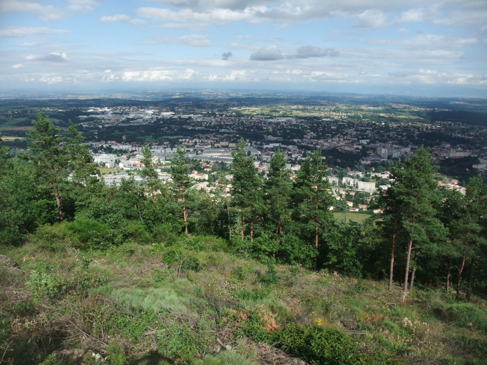
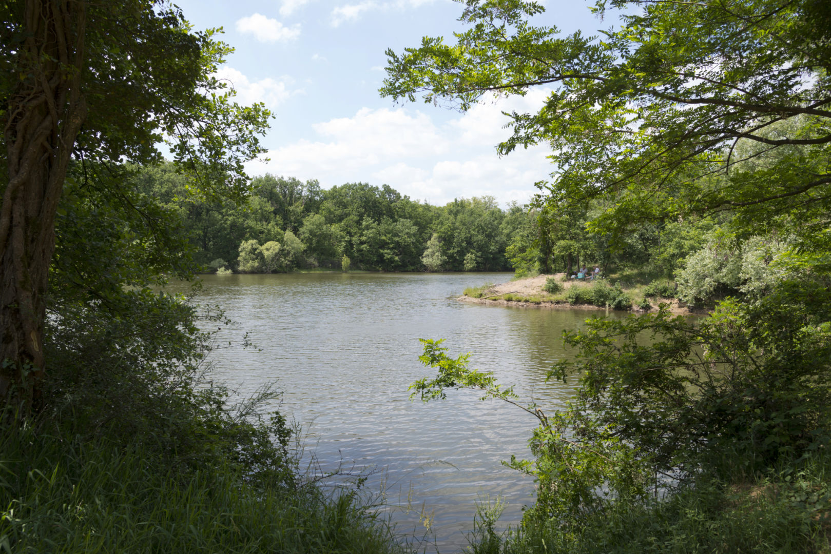
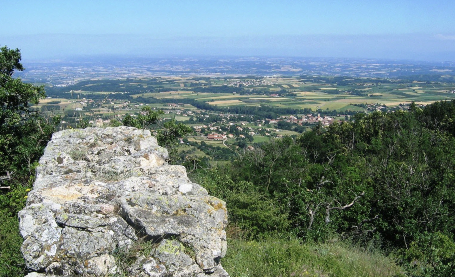
Leaving from Combalat, the route of this hike is mainly through the undergrowth. The trail makes a nice loop and passes by the Madone de Savas, where the view of Savas and its surroundings is superb, before returning to the starting point.

Already more than 200,000 users!
Uphill
337m
Highest point
698m
Downhill
337m
Lowest point
509m
Route type
Loop
Download the map on your smartphone to save battery and rest assured to always keep access to the route, even without signal.
Includes IGN France and Swisstopo.
I indicate whether dogs are allowed or prohibited on this trail
All year
0 ratings
Also enjoy:

Already more than 200,000 users!