Uphill
741m
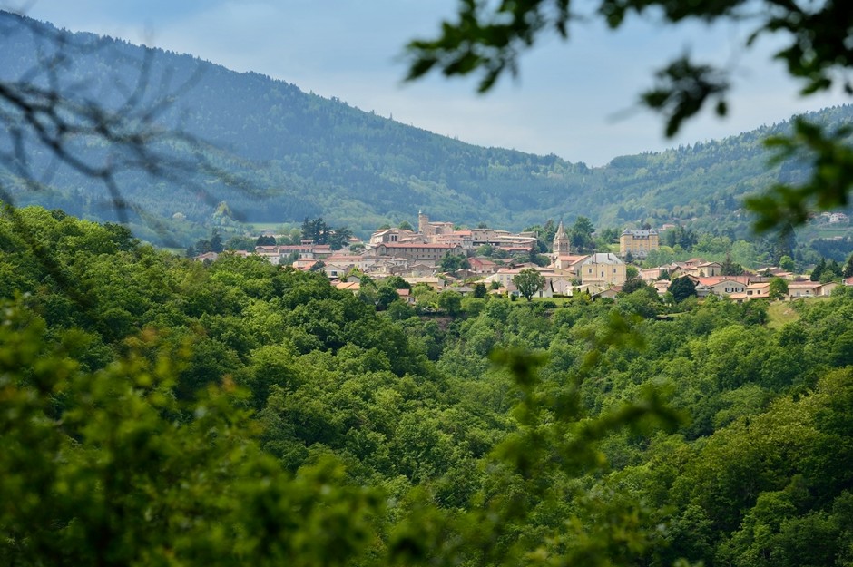
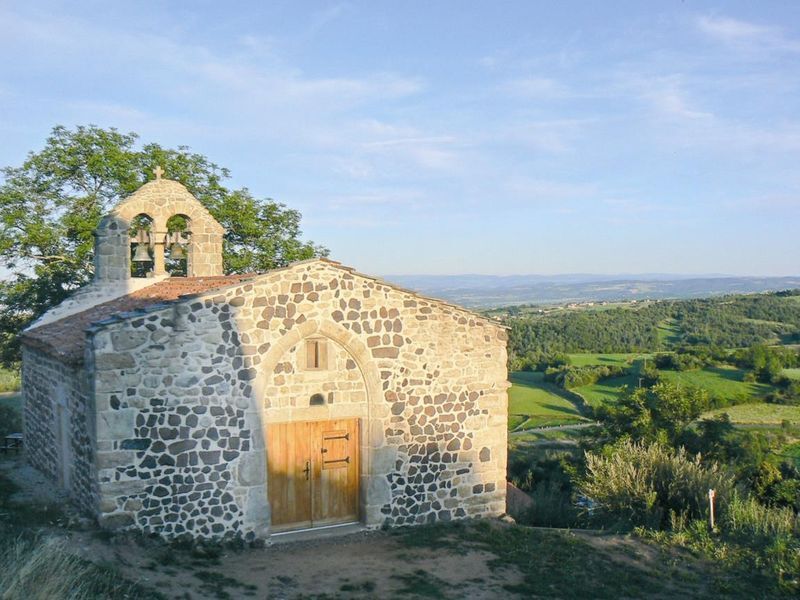
France > Auvergne-Rhône-Alpes > Loire > Pilat Regional Natural Park
Length
14km
Duration
5h30min
Elev gain
741m
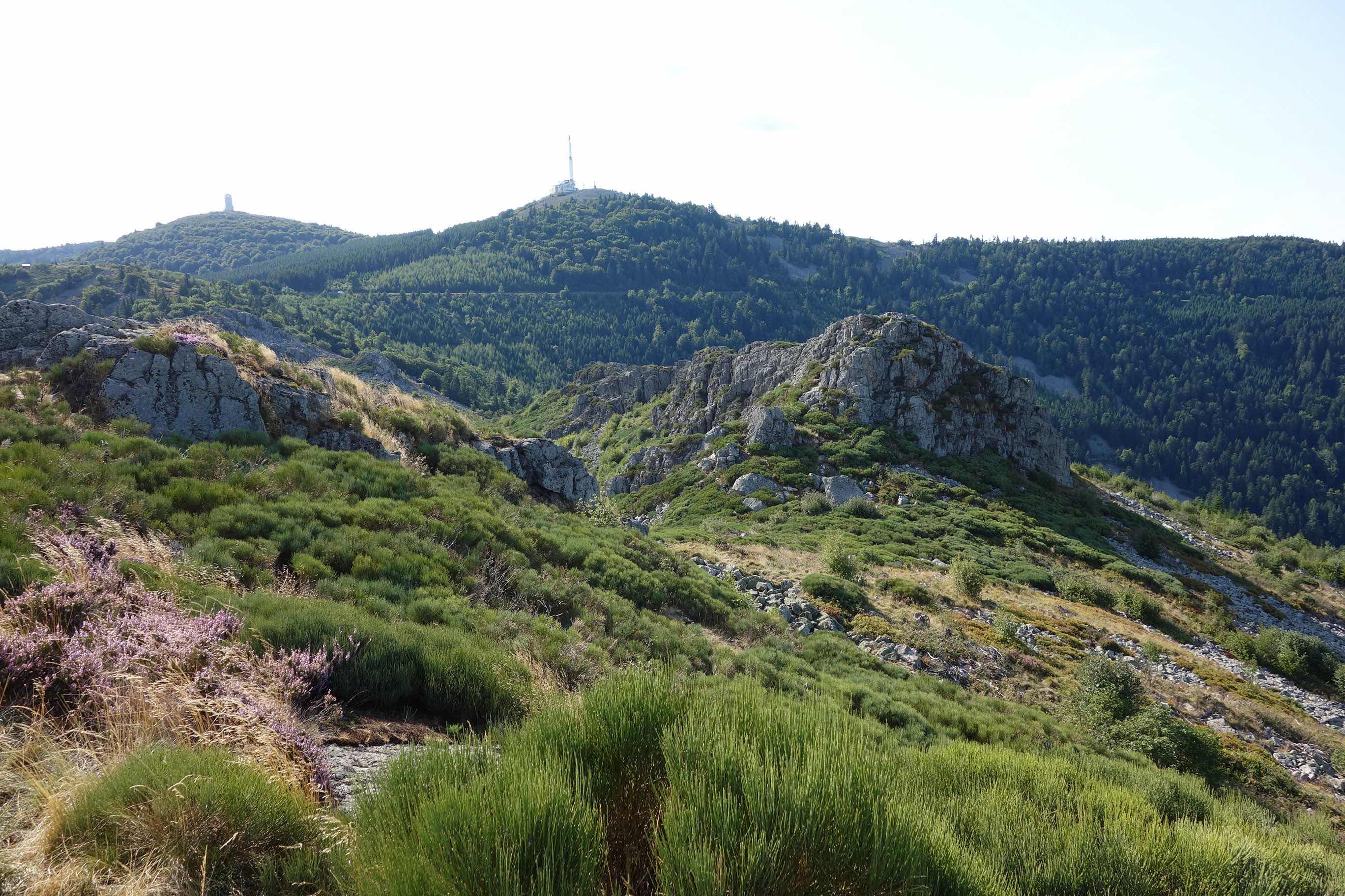
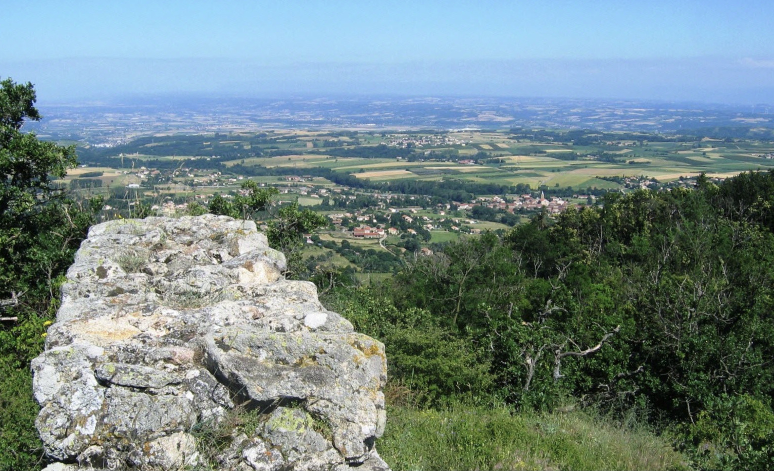
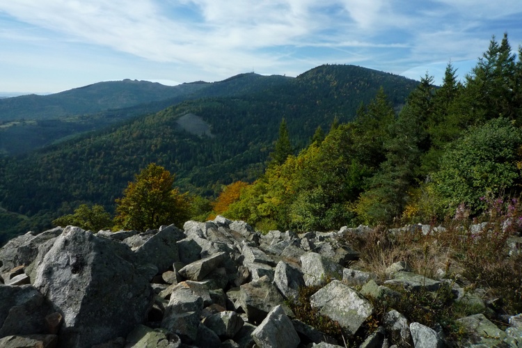
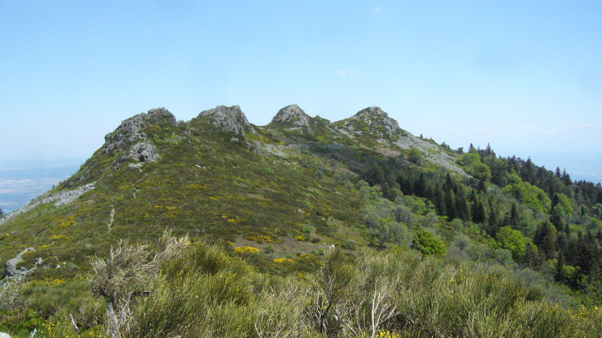
Departing from Véranne, this hike heads to Les Trois Dents, a summit with a mineral and almost alpine profile. The route takes place mainly in the forest, but offers a very nice panorama once getting higher.

Already more than 200,000 users!
Uphill
741m
Highest point
1204m
Downhill
741m
Lowest point
556m
Route type
Loop
Download the map on your smartphone to save battery and rest assured to always keep access to the route, even without signal.
Includes IGN France and Swisstopo.
I indicate whether dogs are allowed or prohibited on this trail
Can be difficult in Winter
3 ratings
Bonjour,
J’ai été surpris que la carte du parcours soit payante. Je pense qu’il faudrait peut-être prévenir. Après le racio des services proposés avec les prix me semble très bon. Donc bravo.
Rando très sympa avec une belle partie sur les crêtes.
Also enjoy:

Already more than 200,000 users!