Uphill
258m
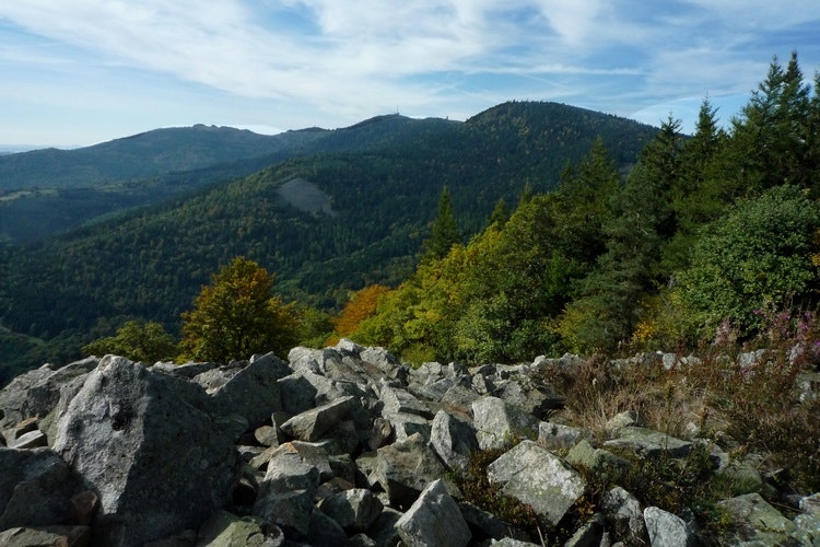
France > Auvergne-Rhône-Alpes > Loire > Pilat Regional Natural Park
Length
9km
Duration
3h
Elev gain
258m
Small loop allowing to reach a relatively unknown summit, although it offers a clear panorama, sometimes as far as the Alps.

Already more than 200,000 users!
Uphill
258m
Highest point
1047m
Downhill
258m
Lowest point
803m
Route type
Loop
Download the map on your smartphone to save battery and rest assured to always keep access to the route, even without signal.
Includes IGN France and Swisstopo.
I indicate whether dogs are allowed or prohibited on this trail
Can be difficult in Winter
1 rating
Also enjoy:

Already more than 200,000 users!


