Uphill
178m
France > Auvergne-Rhône-Alpes > Loire > Pilat Regional Natural Park
Length
6km
Duration
2h
Elev gain
178m
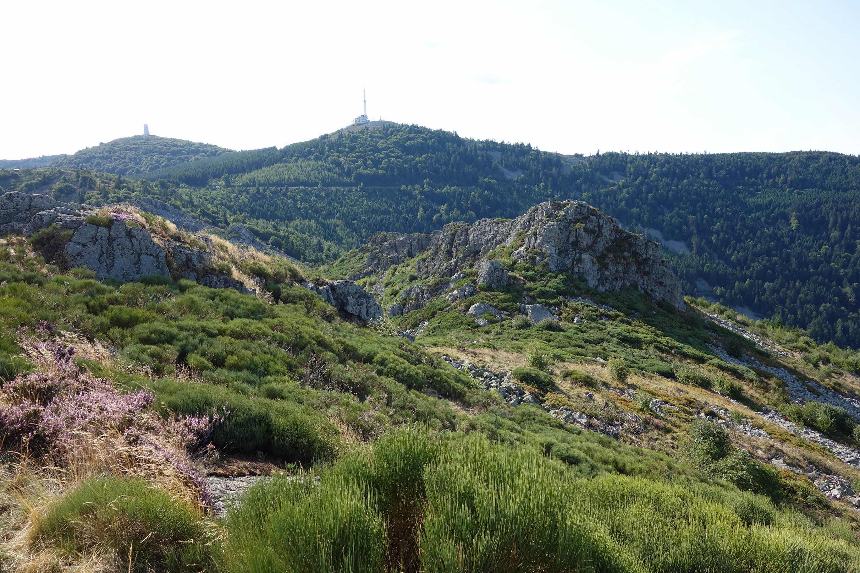
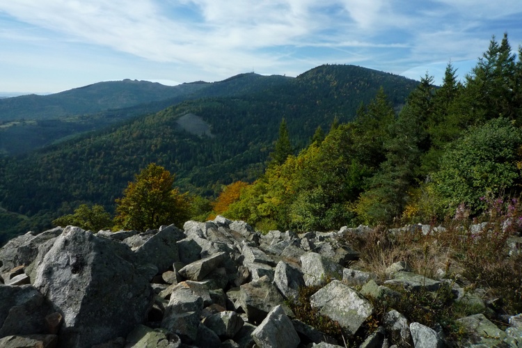
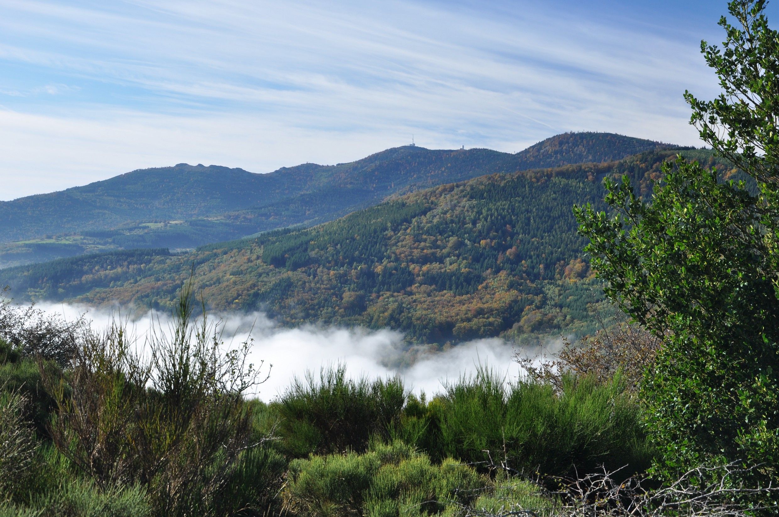
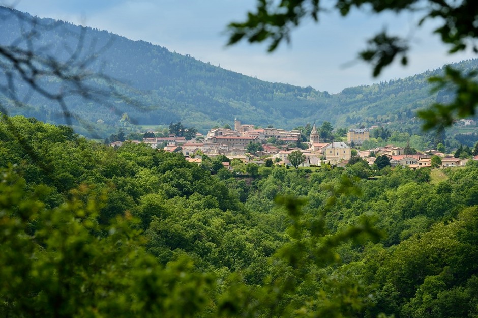
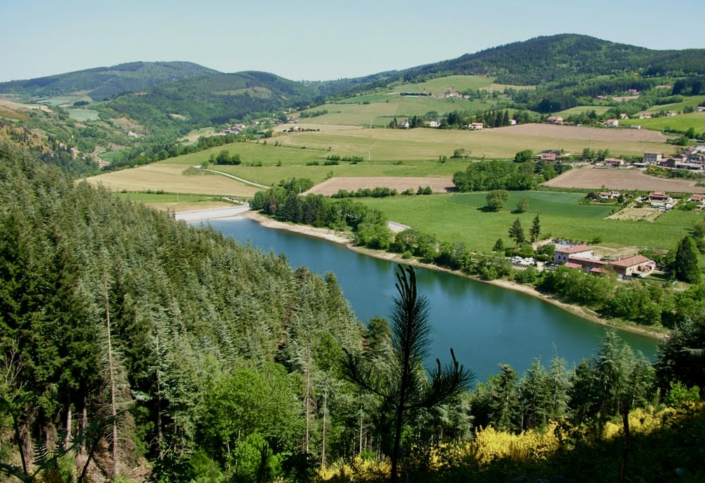
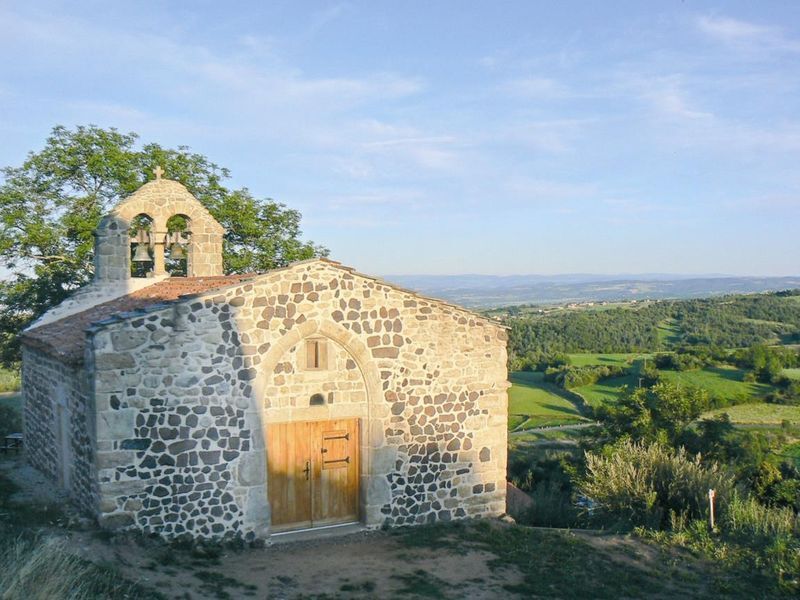
Short hike on the heights of Bassin, offering pretty views of the surroundings. The route passes by the charming Sainte-Marie-Madeleine chapel and makes a loop on a path mainly in the forest.

Already more than 200,000 users!
Uphill
178m
Highest point
1197m
Downhill
178m
Lowest point
1005m
Route type
Loop
Download the map on your smartphone to save battery and rest assured to always keep access to the route, even without signal.
Includes IGN France and Swisstopo.
I indicate whether dogs are allowed or prohibited on this trail
Can be difficult in Winter
1 rating
Attention au retournement, l endroit est rude à monter même si il est court...très bonnes chaussures obligatoires tenant bien la cheville .
Also enjoy:

Already more than 200,000 users!