Uphill
407m
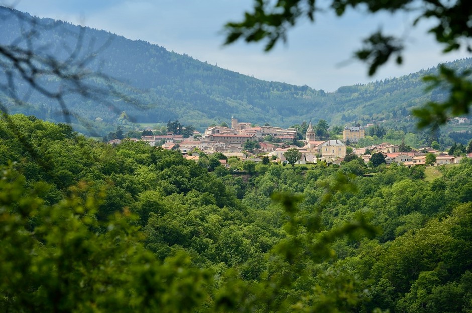
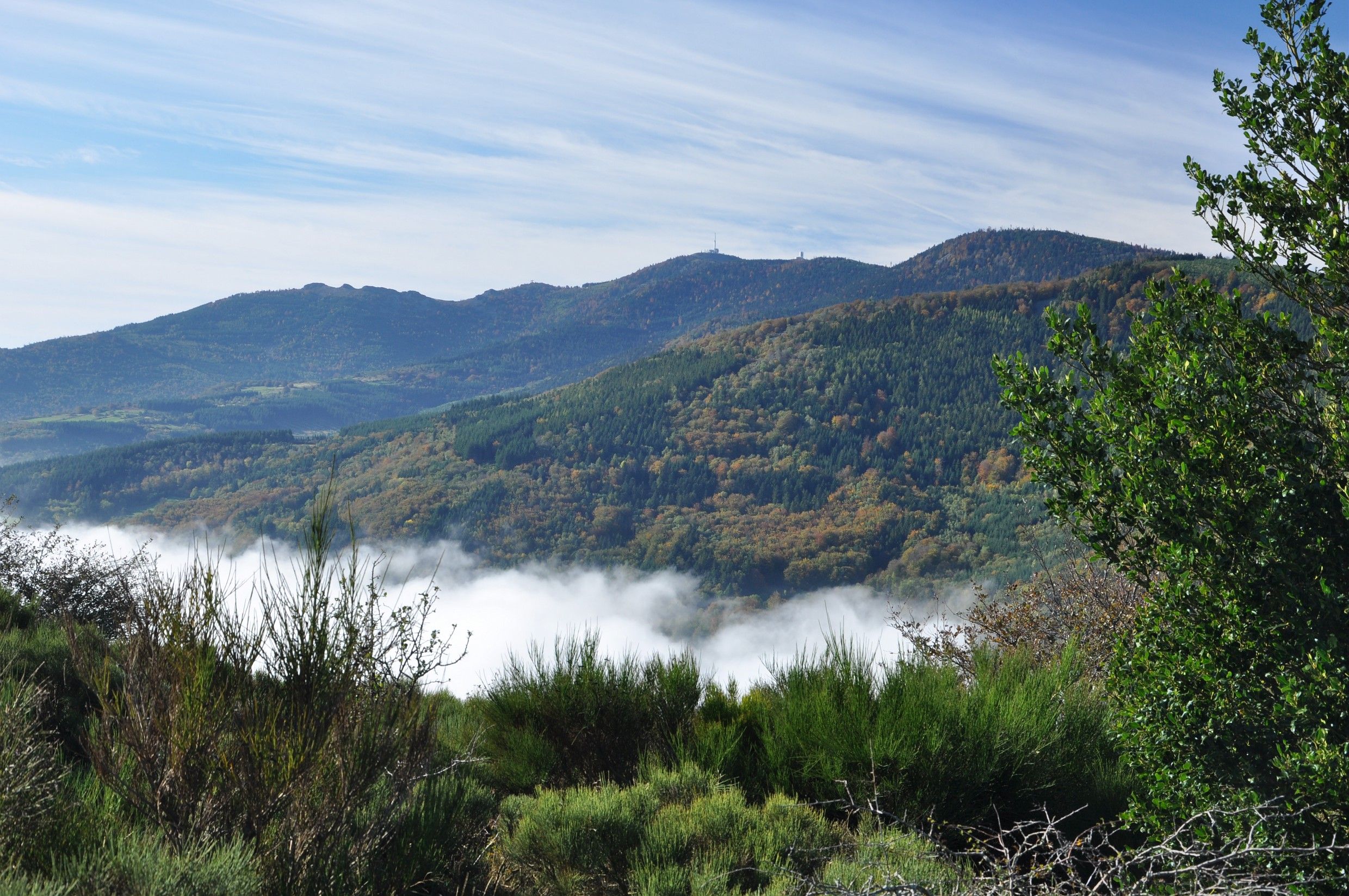
France > Auvergne-Rhône-Alpes > Loire > Pilat Regional Natural Park
Length
13km
Duration
4h
Elev gain
407m
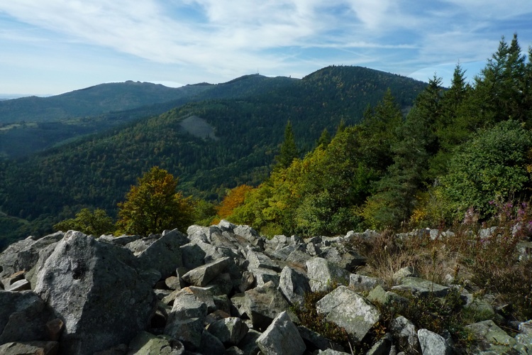
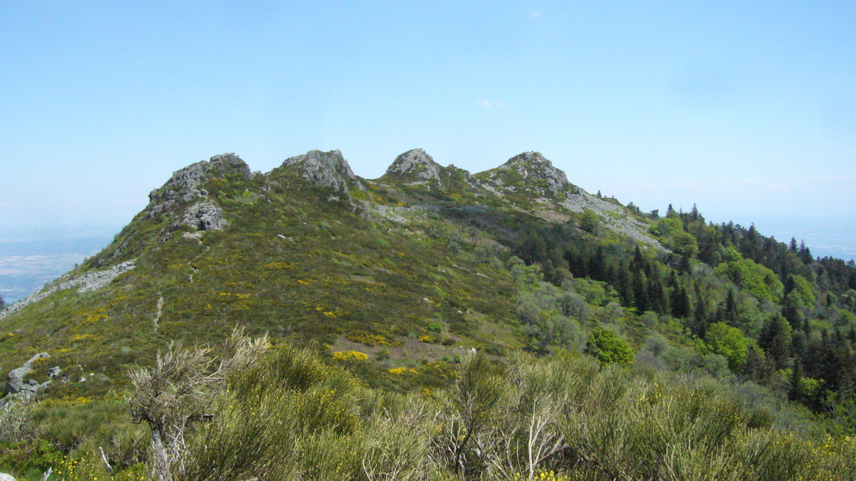
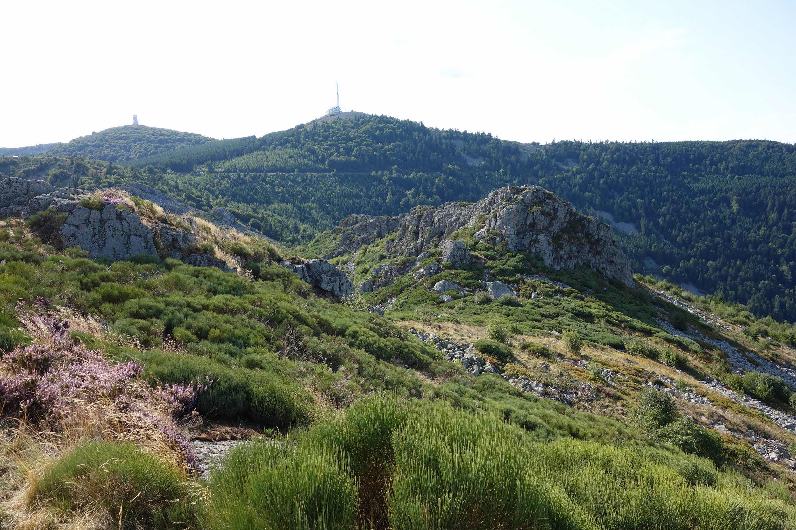
Departing from Pélussin, a real gateway to the Pilat massif, this route loops through varied landscapes on the heights of the town. The path alternates between forest, meadows, fields, hamlets, and hills, with lovely viewpoints.

Already more than 200,000 users!
Uphill
407m
Highest point
770m
Downhill
407m
Lowest point
405m
Route type
Loop
Download the map on your smartphone to save battery and rest assured to always keep access to the route, even without signal.
Includes IGN France and Swisstopo.
Parking by the side of the road, nearby the Maison du Parc Naturel Régional du Pilat.
I indicate whether dogs are allowed or prohibited on this trail
All year
0 ratings
Also enjoy:

Already more than 200,000 users!