Uphill
1018m
France > Auvergne-Rhône-Alpes > Loire > Pilat Regional Natural Park
Length
18km
Duration
7h30min
Elev gain
1018m
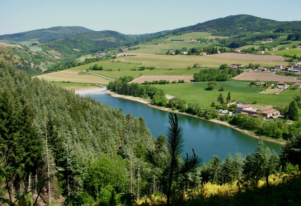
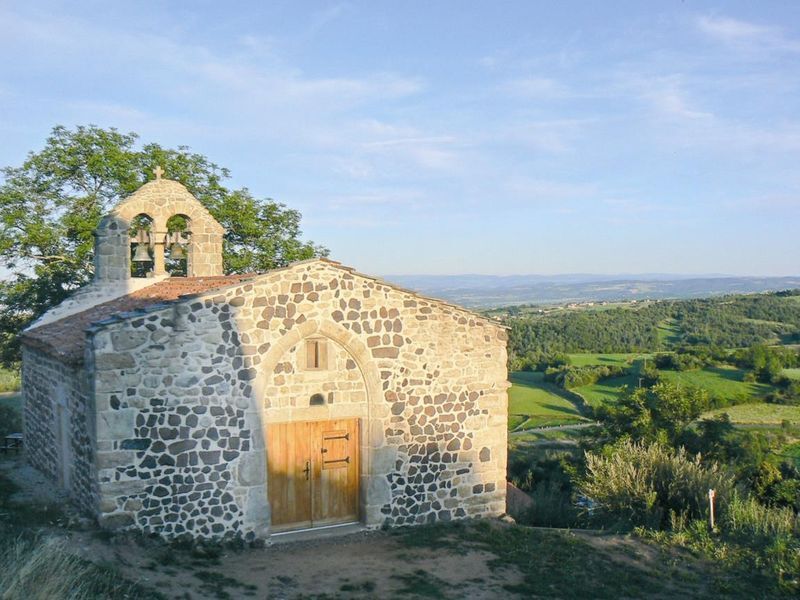
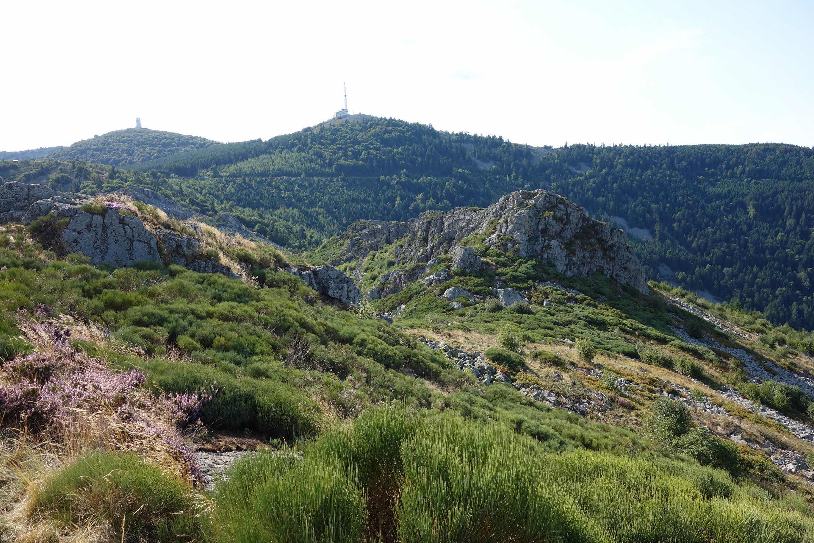
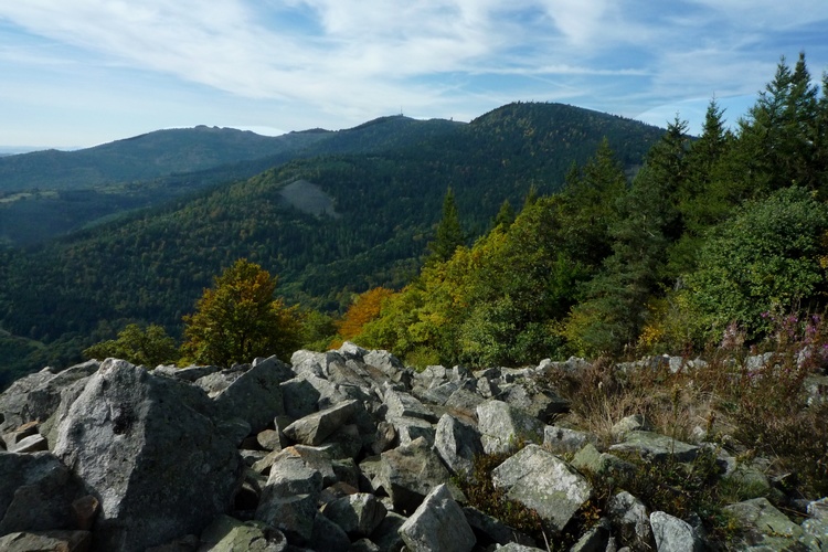
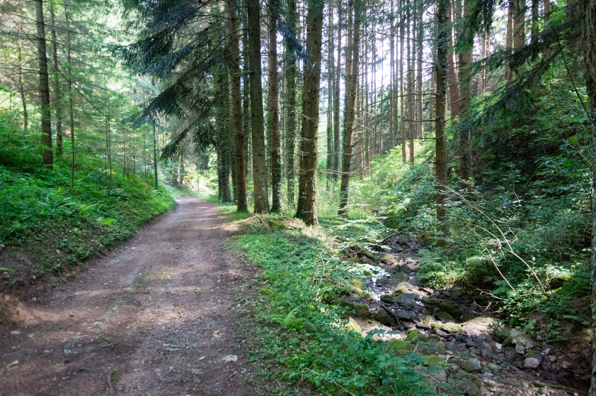
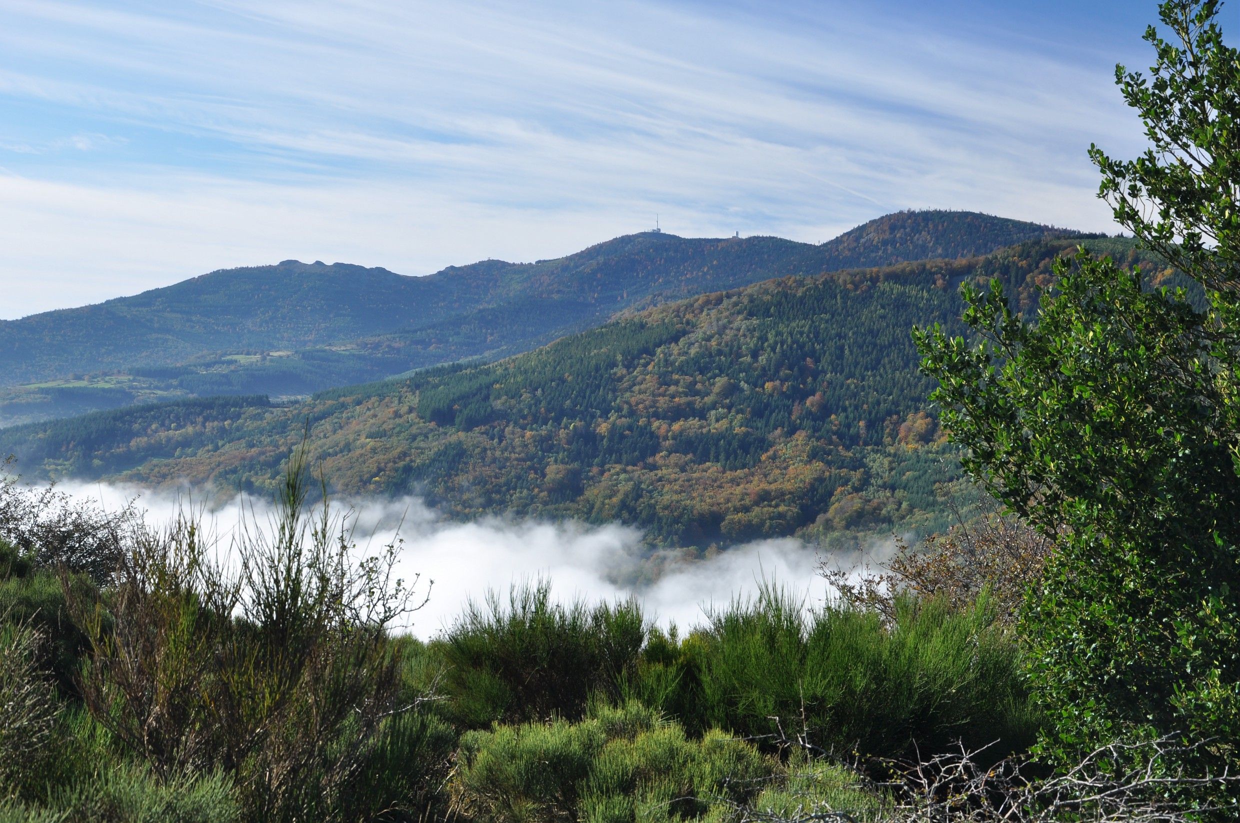
This long hike leads to the crest of Mont Pilat, which offer a lovely panorama over the Rhône valley, the Massif Central and the Alps. The route is of a great diversity of landscapes.
A less challenging route to the Crêts du Pilat also exists from l'Œillon.

Already more than 200,000 users!
Uphill
1018m
Highest point
1422m
Downhill
1018m
Lowest point
576m
Route type
Loop
Download the map on your smartphone to save battery and rest assured to always keep access to the route, even without signal.
Includes IGN France and Swisstopo.
I indicate whether dogs are allowed or prohibited on this trail
Can be difficult in Winter
2 ratings
Also enjoy:

Already more than 200,000 users!