Uphill
54m
Length
3km
Duration
1h
Elev gain
54m
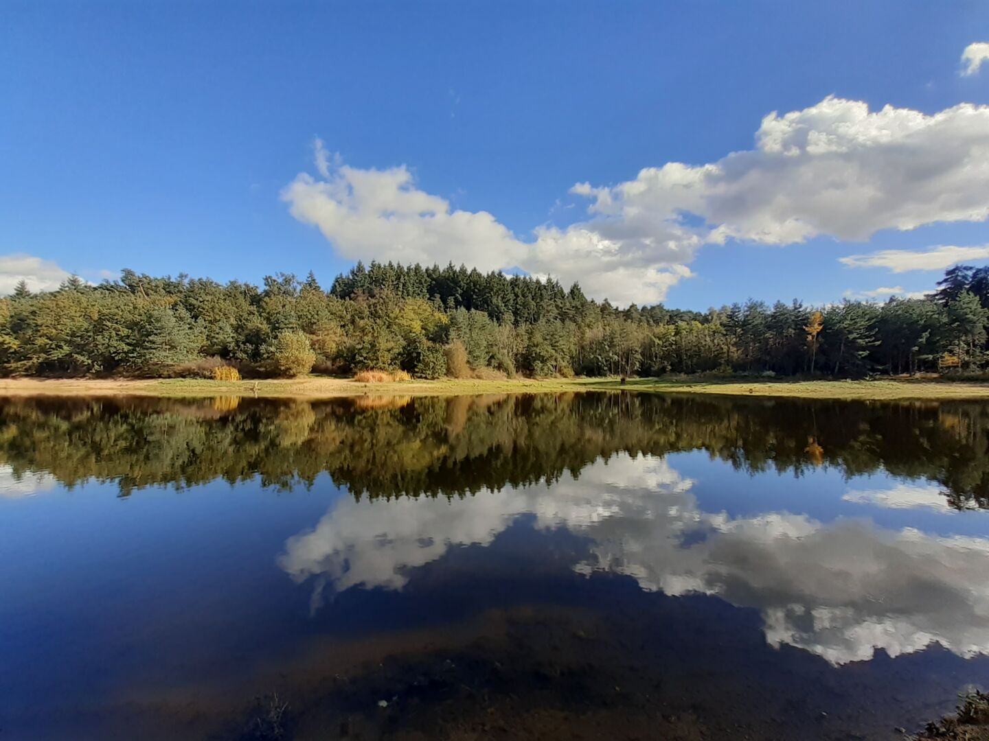
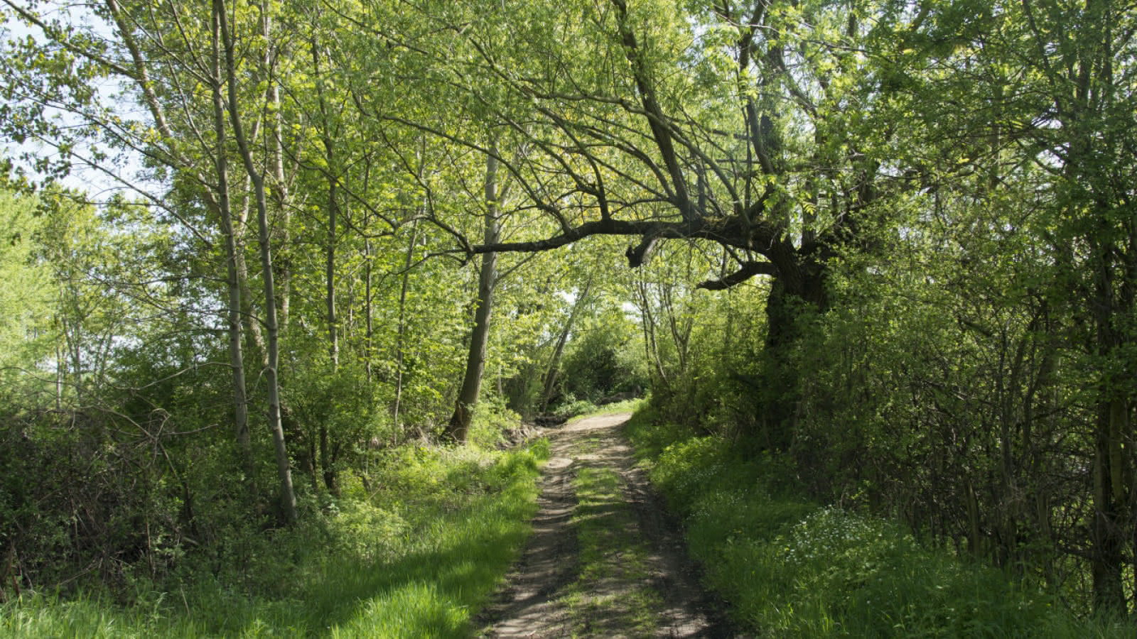
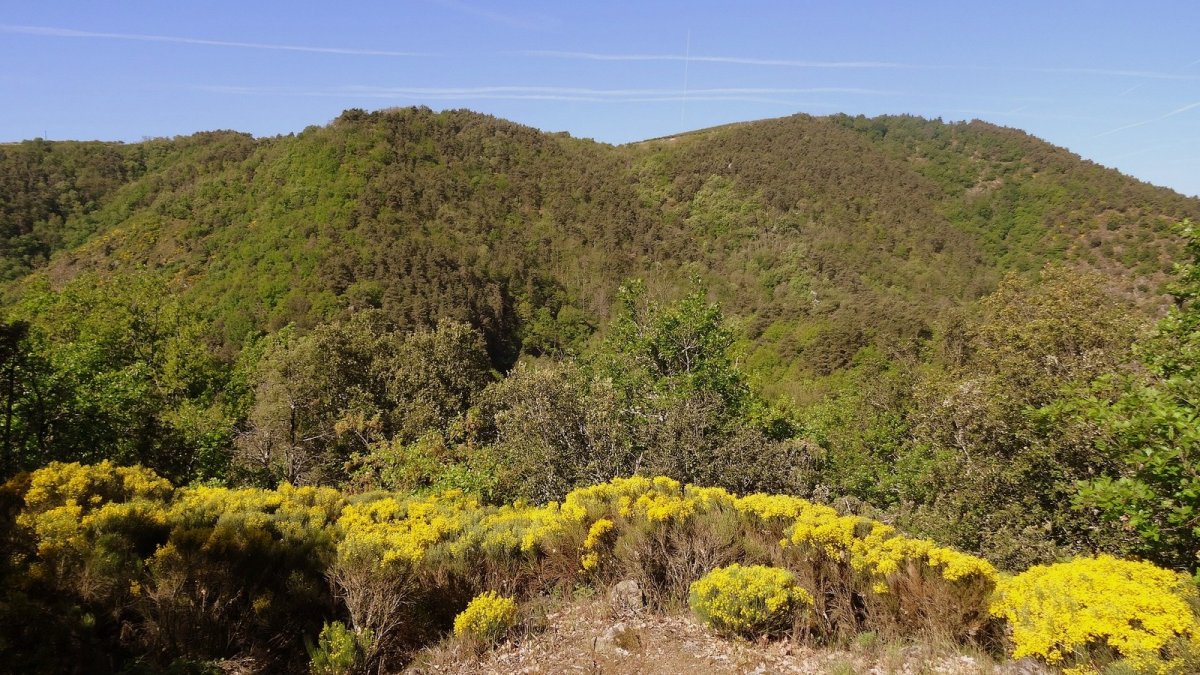
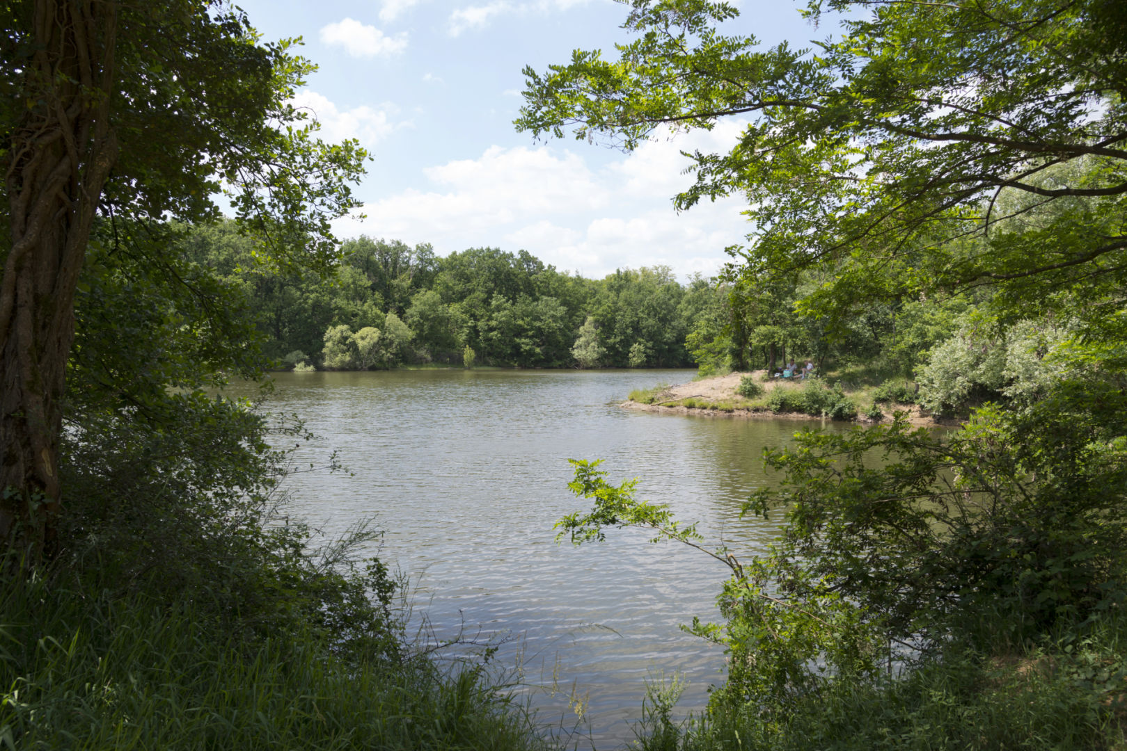
Leaving from Vert, this path joins the lake of the same name and goes around it before returning to the starting point. The setting is wild and very pleasant, ideal when you want to take a breath of fresh air in the middle of nature.

Already more than 200,000 users!
Uphill
54m
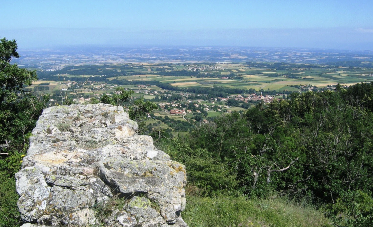
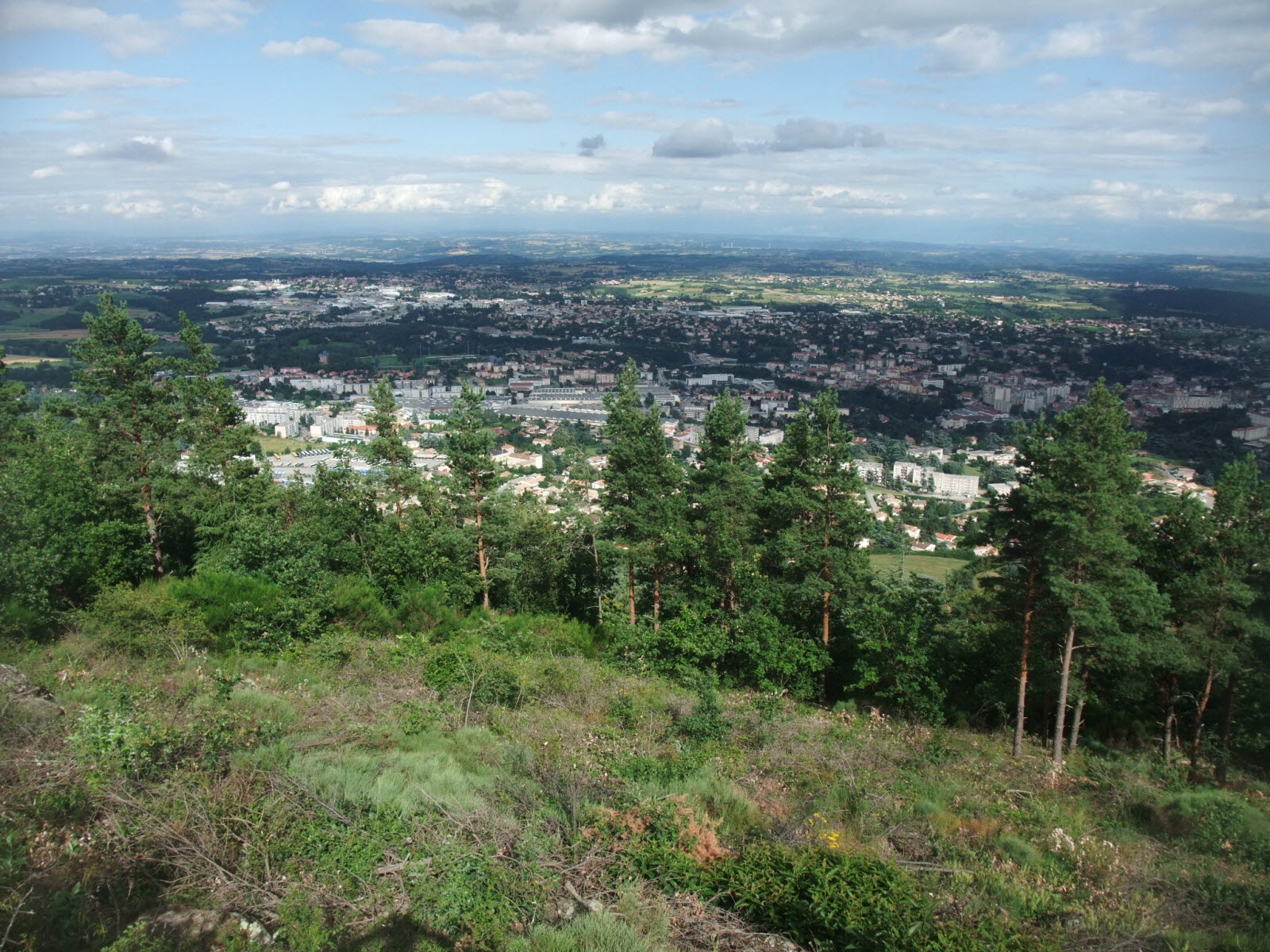
Highest point
370m
Downhill
54m
Lowest point
331m
Route type
Loop
Download the map on your smartphone to save battery and rest assured to always keep access to the route, even without signal.
Includes IGN France and Swisstopo.
I indicate whether dogs are allowed or prohibited on this trail
All year
0 ratings
Also enjoy:

Already more than 200,000 users!