Uphill
343m
Length
7km
Duration
2h30min
Elev gain
343m
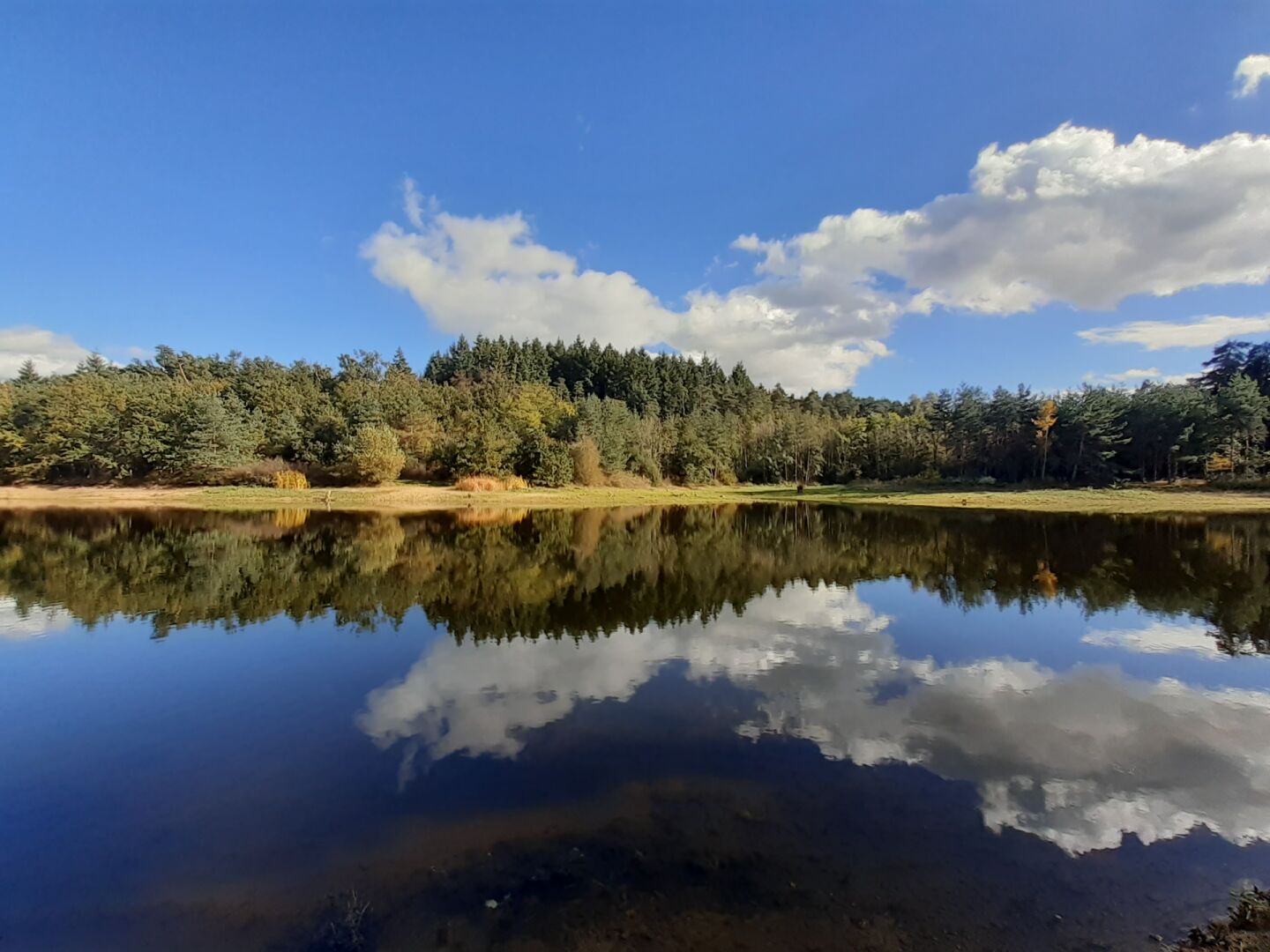
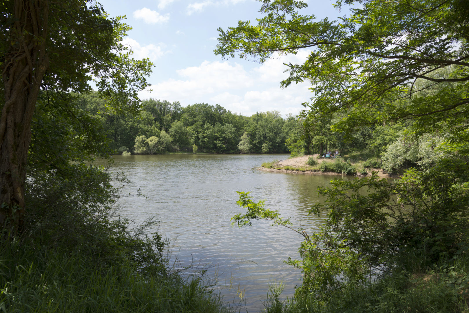
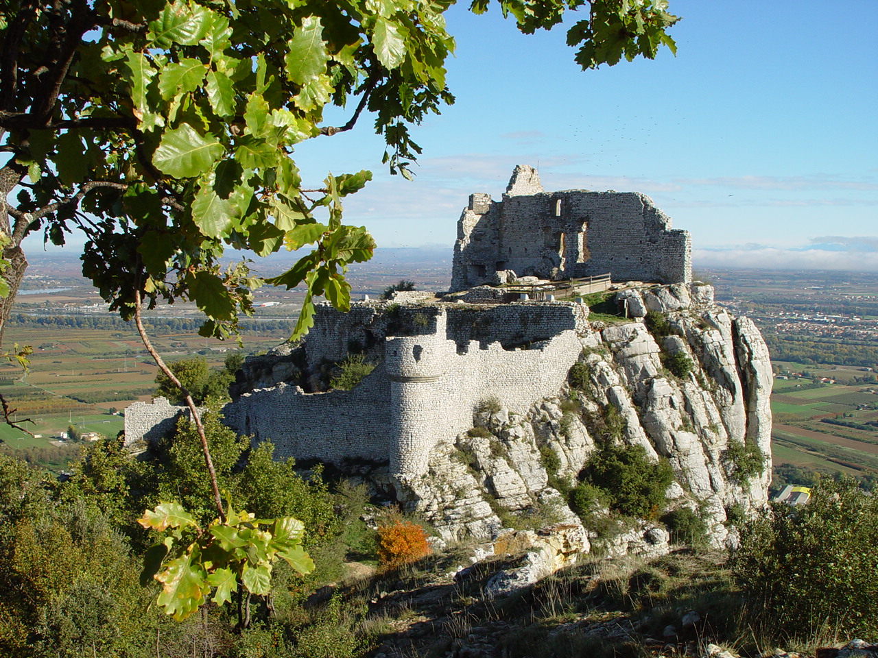
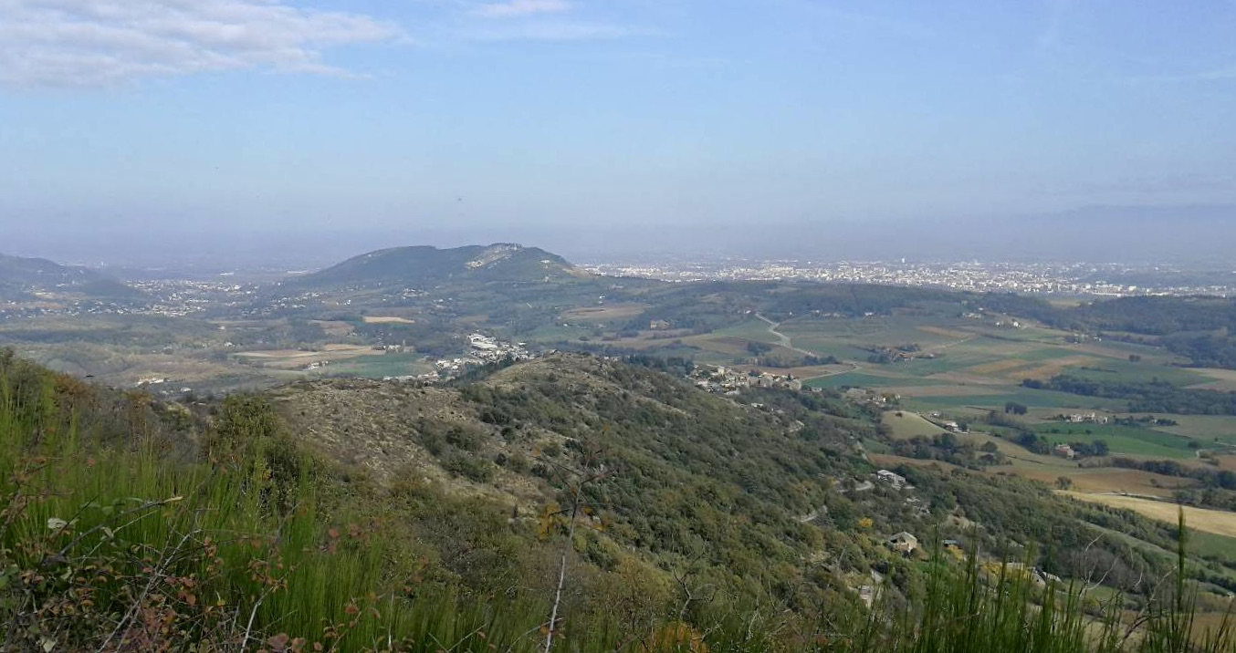
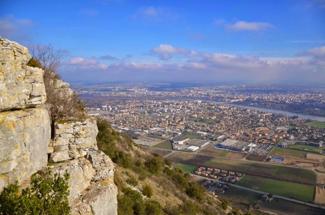
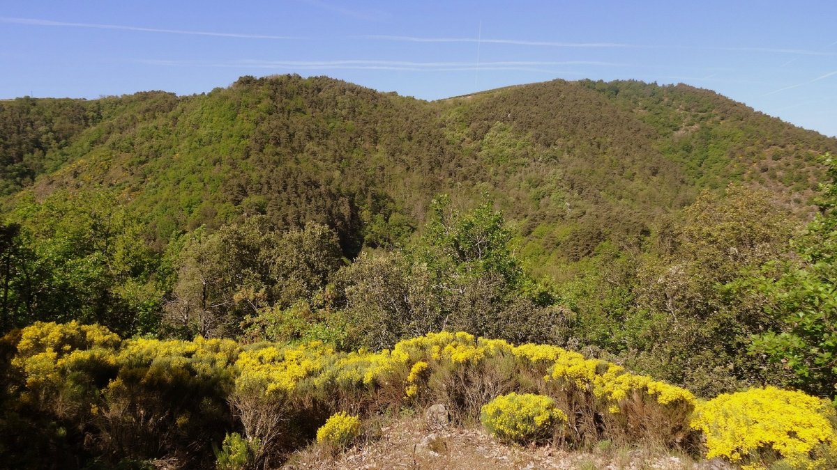
Here is a wild hike starting from the hamlet of Maurins. The course makes a loop in the shade of the trees and takes a little height in order to take full advantage of the marvelous gorges of the Daronne. A beautiful course in the middle of nature, what happiness!

Already more than 200,000 users!
Uphill
343m
Highest point
436m
Downhill
343m
Lowest point
240m
Route type
Loop
Download the map on your smartphone to save battery and rest assured to always keep access to the route, even without signal.
Includes IGN France and Swisstopo.
I indicate whether dogs are allowed or prohibited on this trail
All year
2 ratings
Le 18 mars 2025, je n'ai pas pu traverser la Daronne à gué en première partie de rando, trop d'eau, obligé de rebrousser chemin.
Sinon c'est très joli et sauvage, des cailloux, de l'eau et des arbres.
Also enjoy:

Already more than 200,000 users!