Uphill
189m
Length
4km
Duration
1h30min
Elev gain
189m
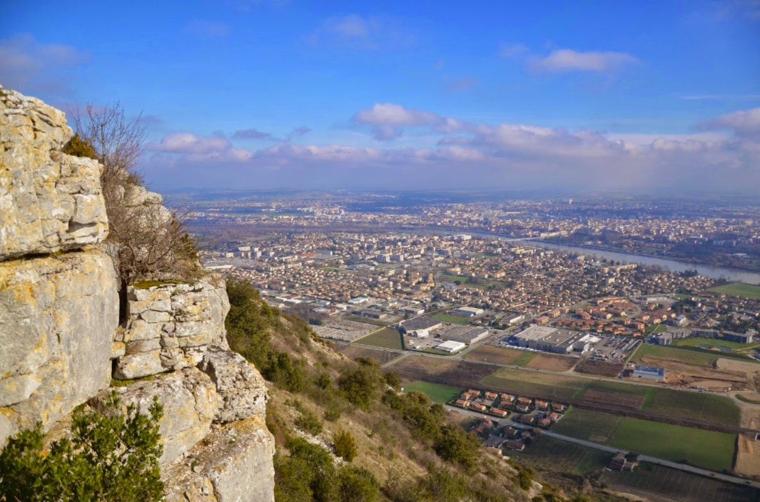
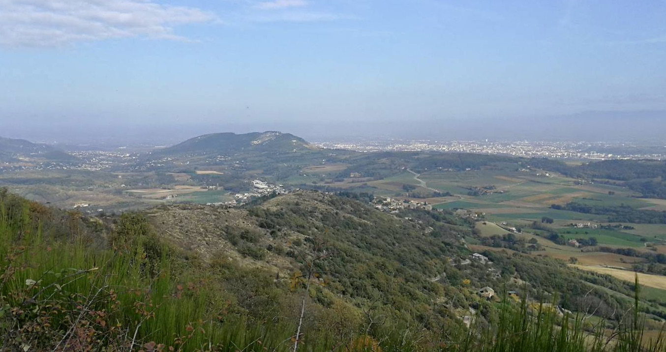
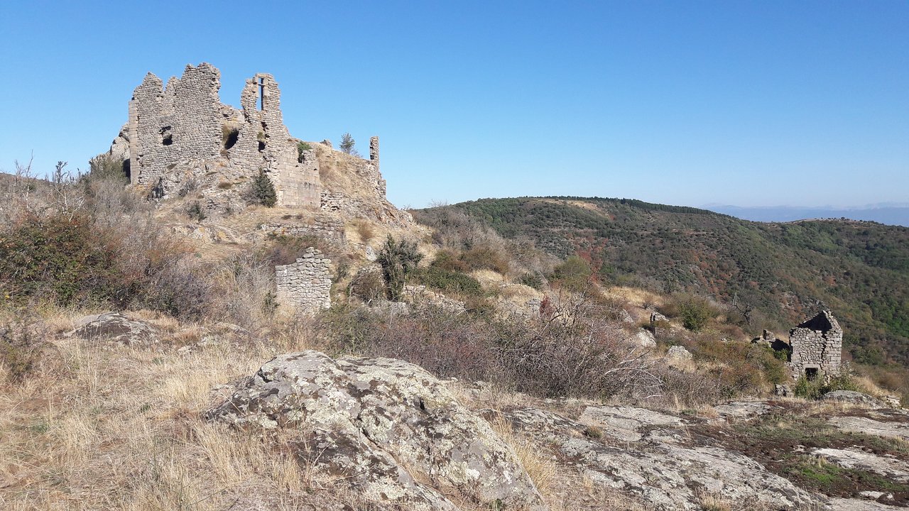
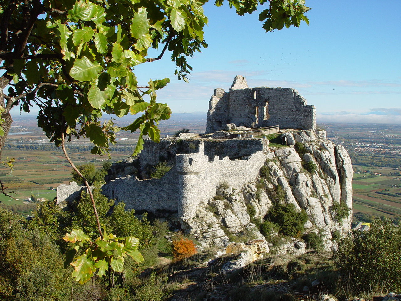
A very pleasant course near Saint-Péray. The trail starts from the Crusol car park then quickly reaches the pretty Château de Crussol before continuing on the crests. At the top, the panorama over Valence and the valley is breathtaking.
Note however that the path along a cliff deserves to be careful, especially with children.

Already more than 200,000 users!
Uphill
189m
Highest point
381m
Downhill
189m
Lowest point
207m
Route type
Loop
Download the map on your smartphone to save battery and rest assured to always keep access to the route, even without signal.
Includes IGN France and Swisstopo.
0 ratings
Also enjoy:

Already more than 200,000 users!