Uphill
201m
Length
4km
Duration
1h30min
Elev gain
201m
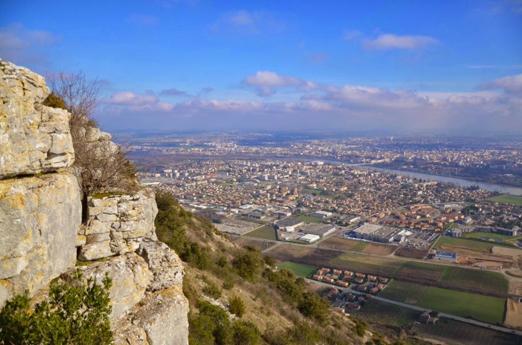
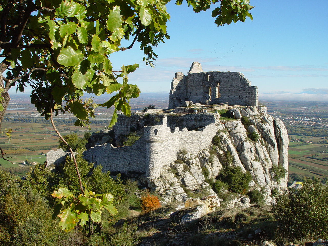
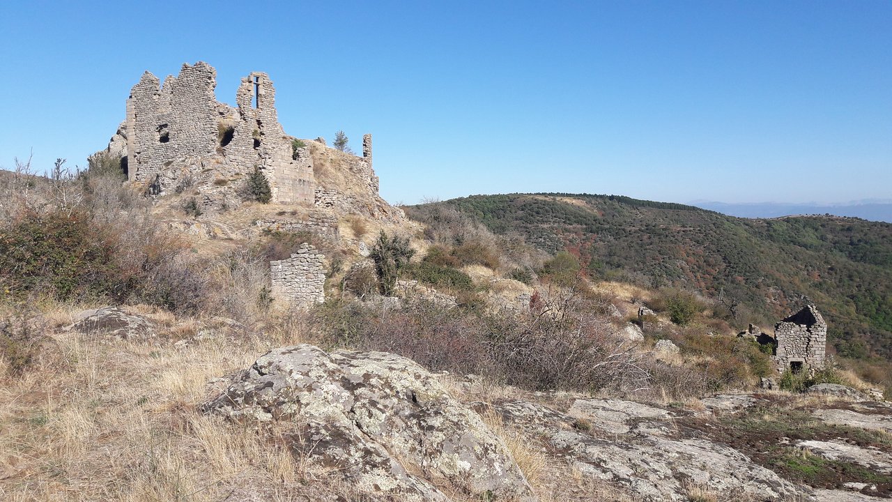
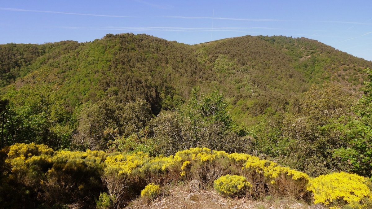
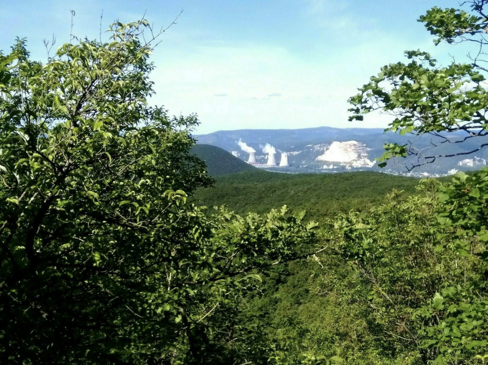
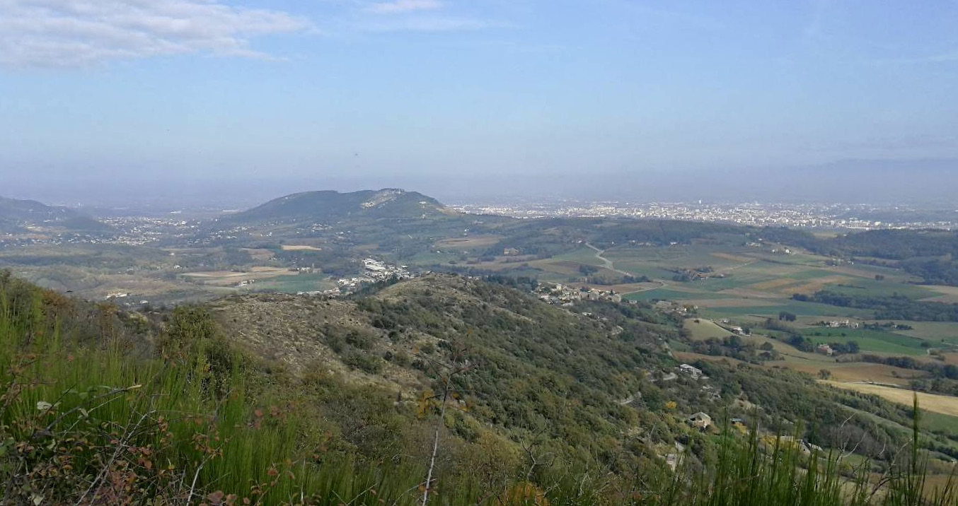
Here is a pleasant route on the crests of the hills of Toulaud, which allows you to enjoy the sparse vegetation and original rock formations. Nice views of the surroundings.

Already more than 200,000 users!
Uphill
201m
Highest point
446m
Downhill
201m
Lowest point
261m
Route type
Loop
Download the map on your smartphone to save battery and rest assured to always keep access to the route, even without signal.
Includes IGN France and Swisstopo.
I indicate whether dogs are allowed or prohibited on this trail
All year
1 rating
Also enjoy:

Already more than 200,000 users!