Uphill
408m
Length
10km
Duration
3h30min
Elev gain
408m
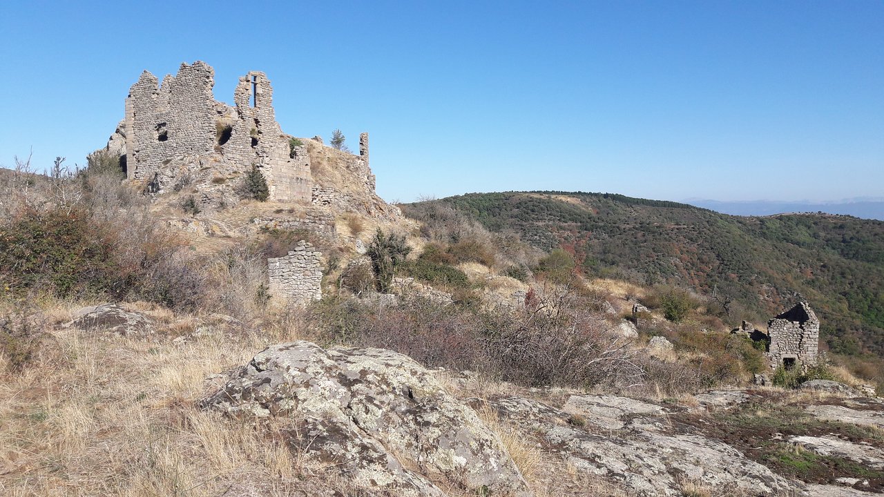
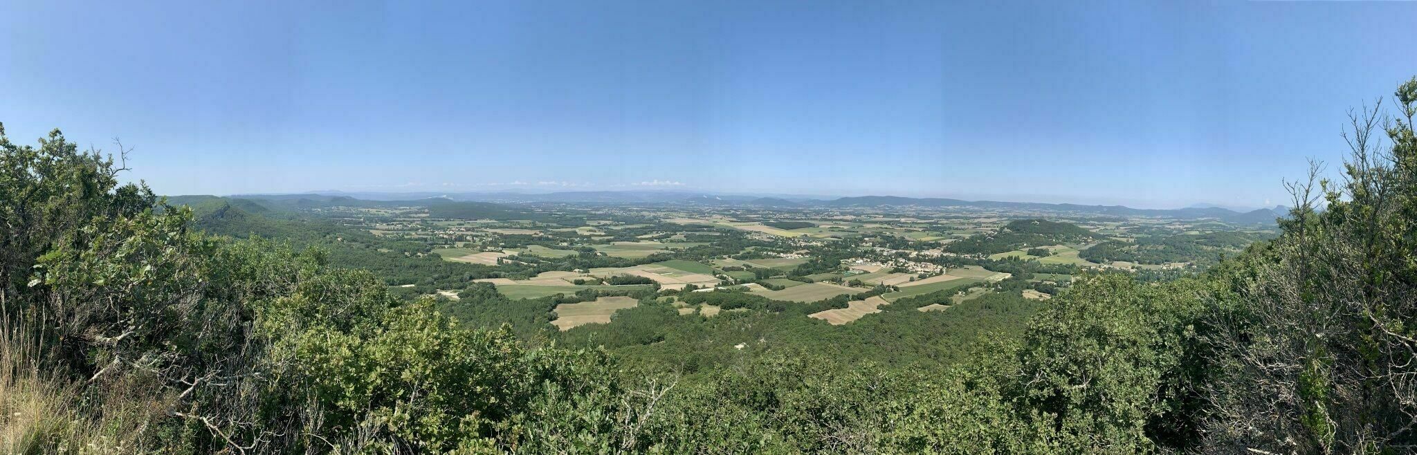
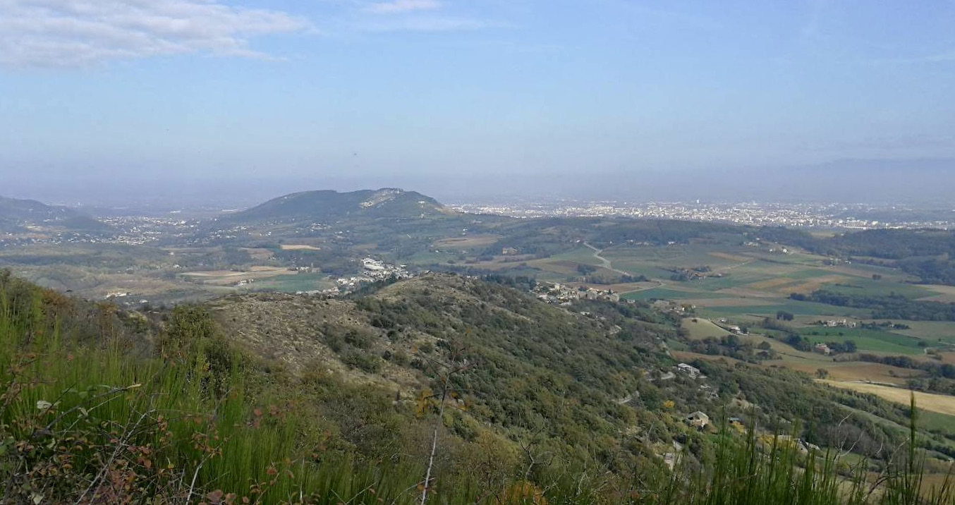
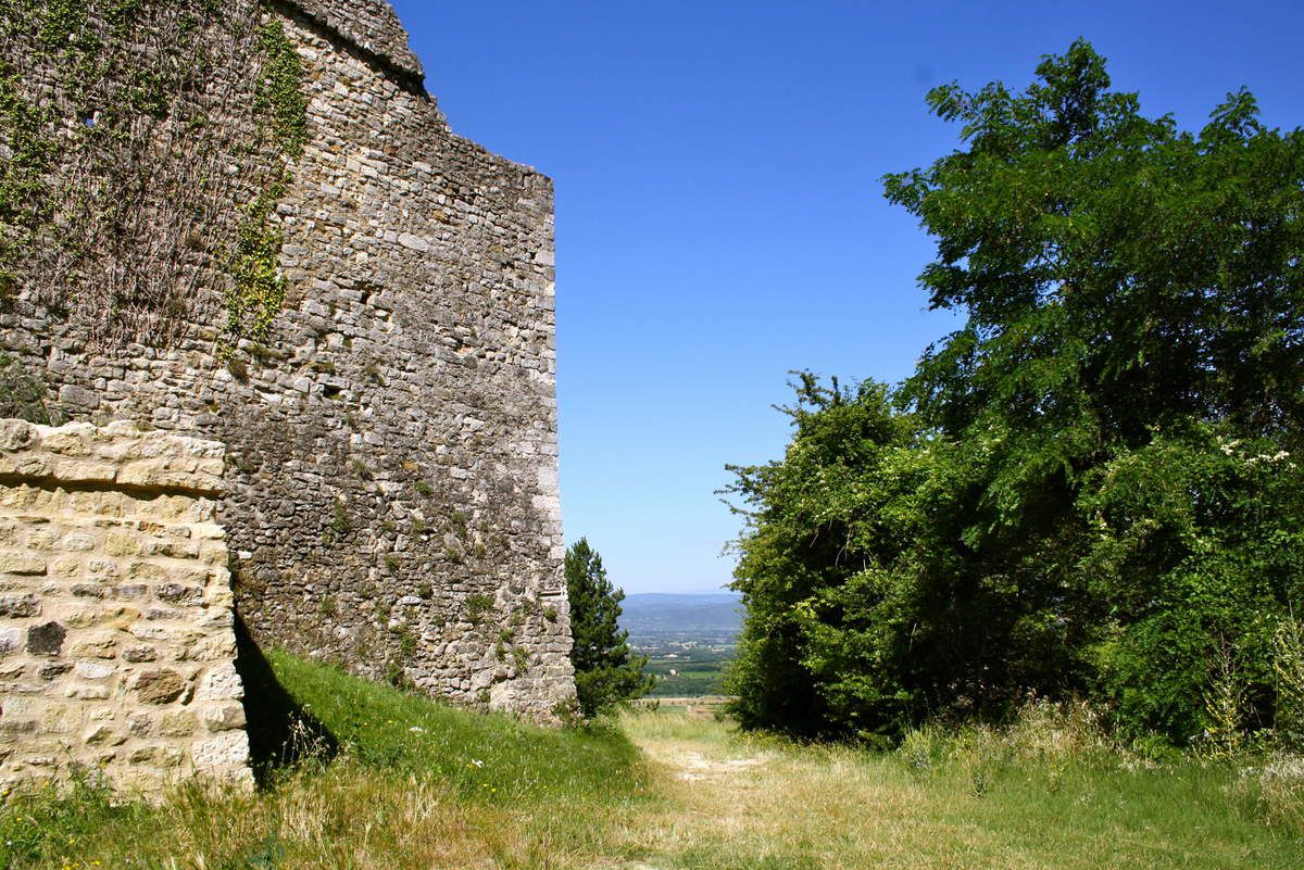
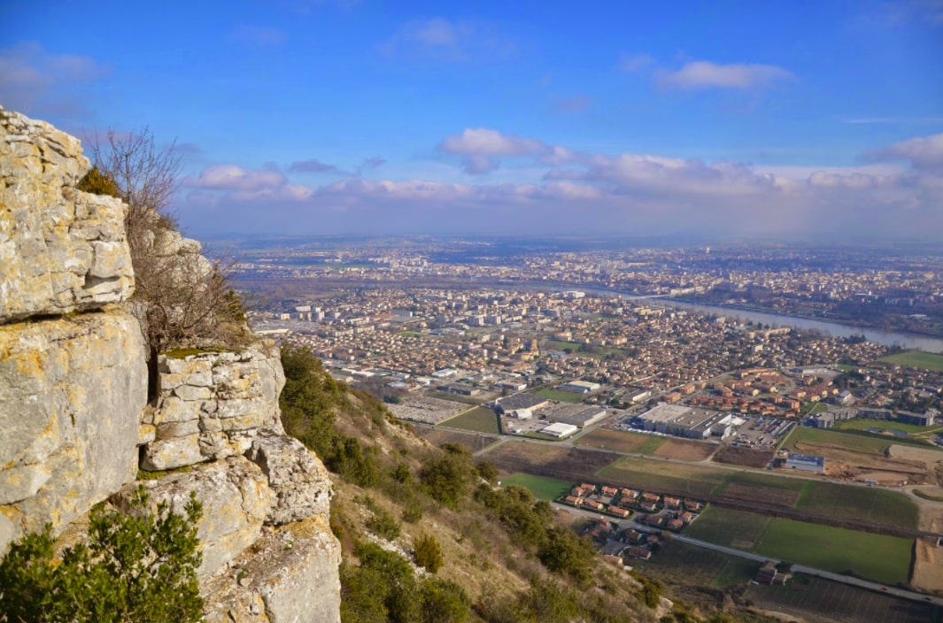
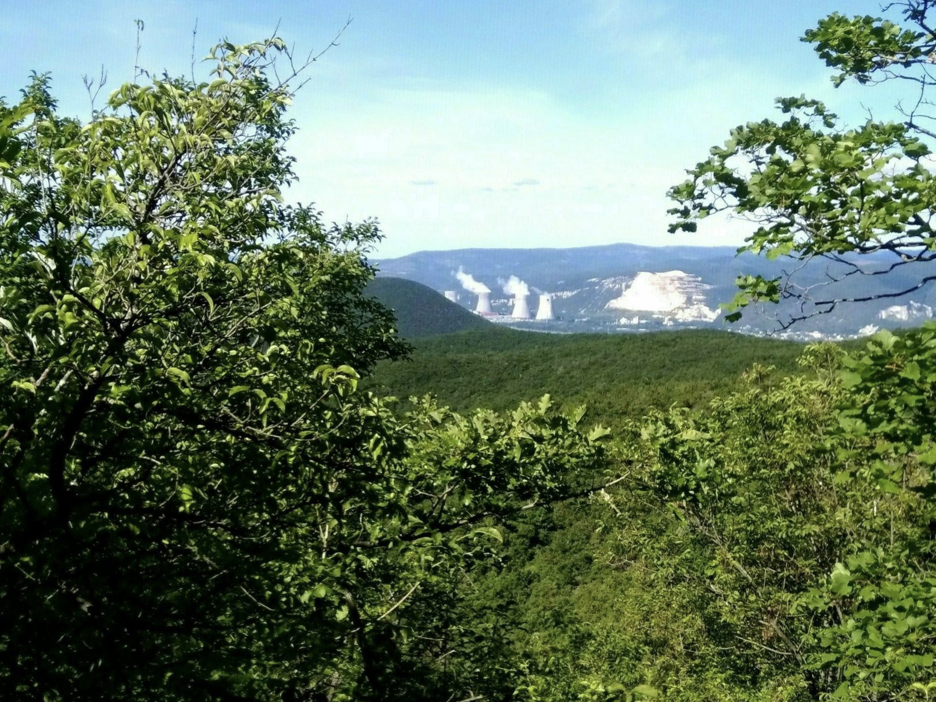
Departing from Mirmande, this trail follows the crests of Mallivert to the Col de Papillère. The route is mainly in the forest but sometimes gives a glimpse of the Rhône valley.

Already more than 200,000 users!
Uphill
408m
Highest point
575m
Downhill
408m
Lowest point
175m
Route type
Loop
Download the map on your smartphone to save battery and rest assured to always keep access to the route, even without signal.
Includes IGN France and Swisstopo.
I indicate whether dogs are allowed or prohibited on this trail
All year
0 ratings
Also enjoy:

Already more than 200,000 users!