Uphill
322m
Length
9km
Duration
3h
Elev gain
322m
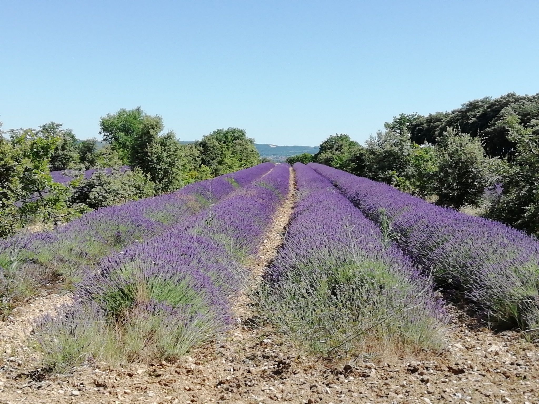
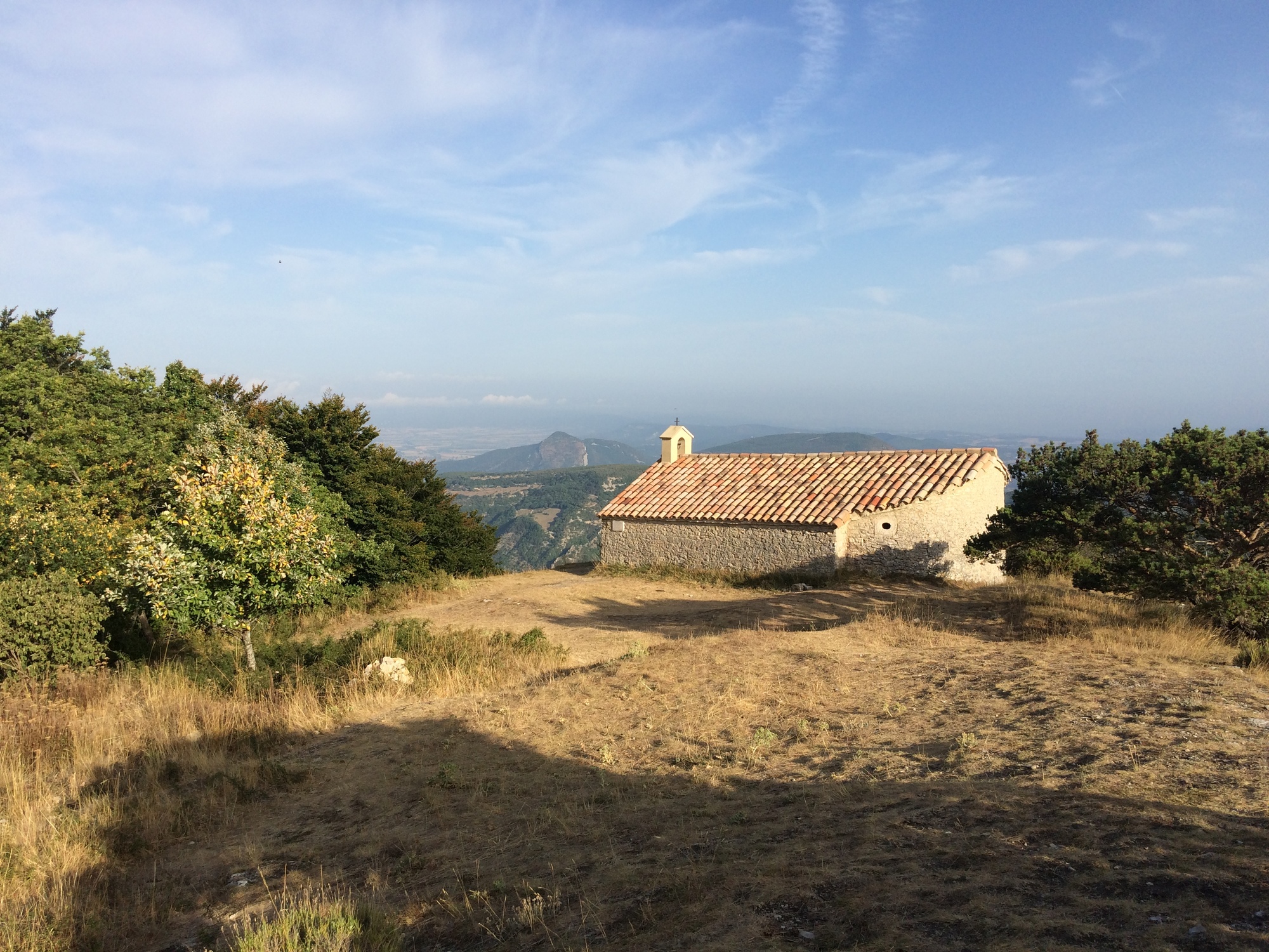
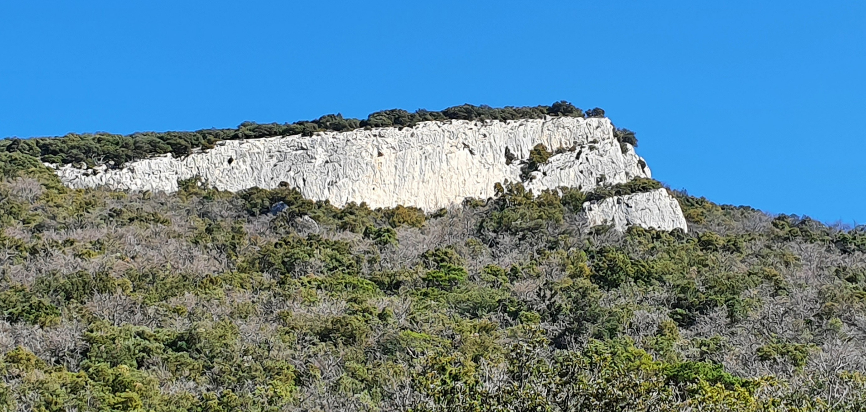
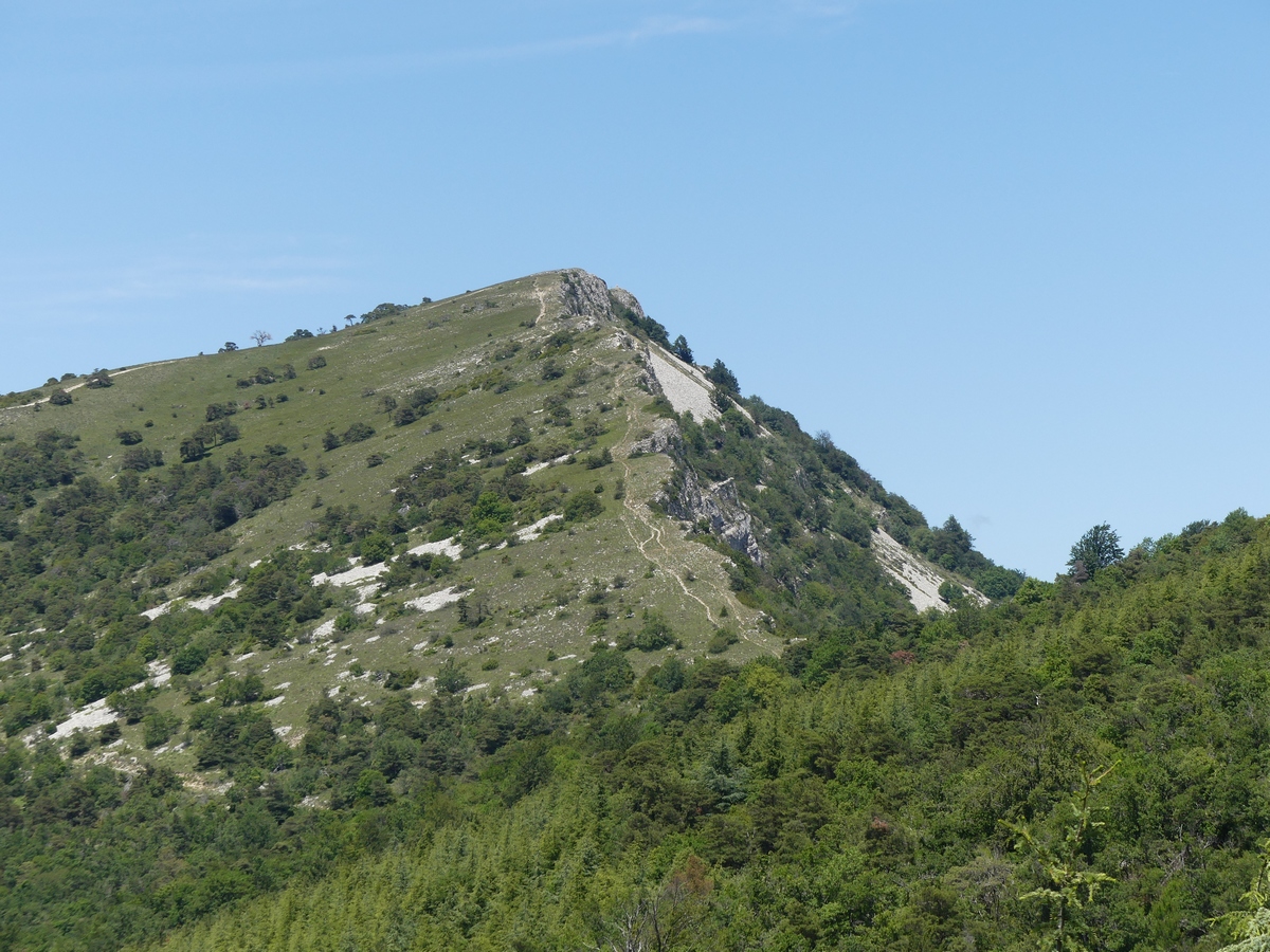
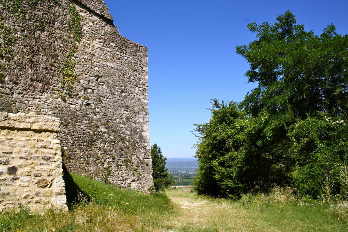
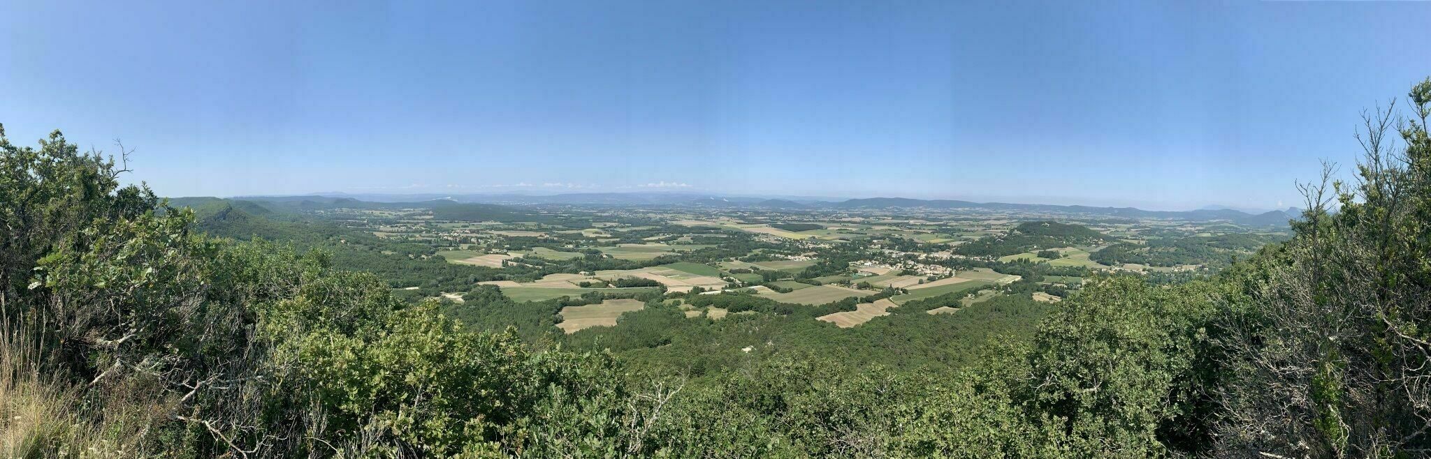
Starting from Bégude-de-Mazenc, this trail first crosses the countryside before gaining height in the forest. It then joins the Aleyrac belvedere which offers a magnificent view over the valley and in particular the village of Châteauneuf-de-Mazenc.

Already more than 200,000 users!
Uphill
322m
Highest point
485m
Downhill
322m
Lowest point
209m
Route type
Loop
Download the map on your smartphone to save battery and rest assured to always keep access to the route, even without signal.
Includes IGN France and Swisstopo.
I indicate whether dogs are allowed or prohibited on this trail
All year
0 ratings
Also enjoy:

Already more than 200,000 users!