Uphill
79m
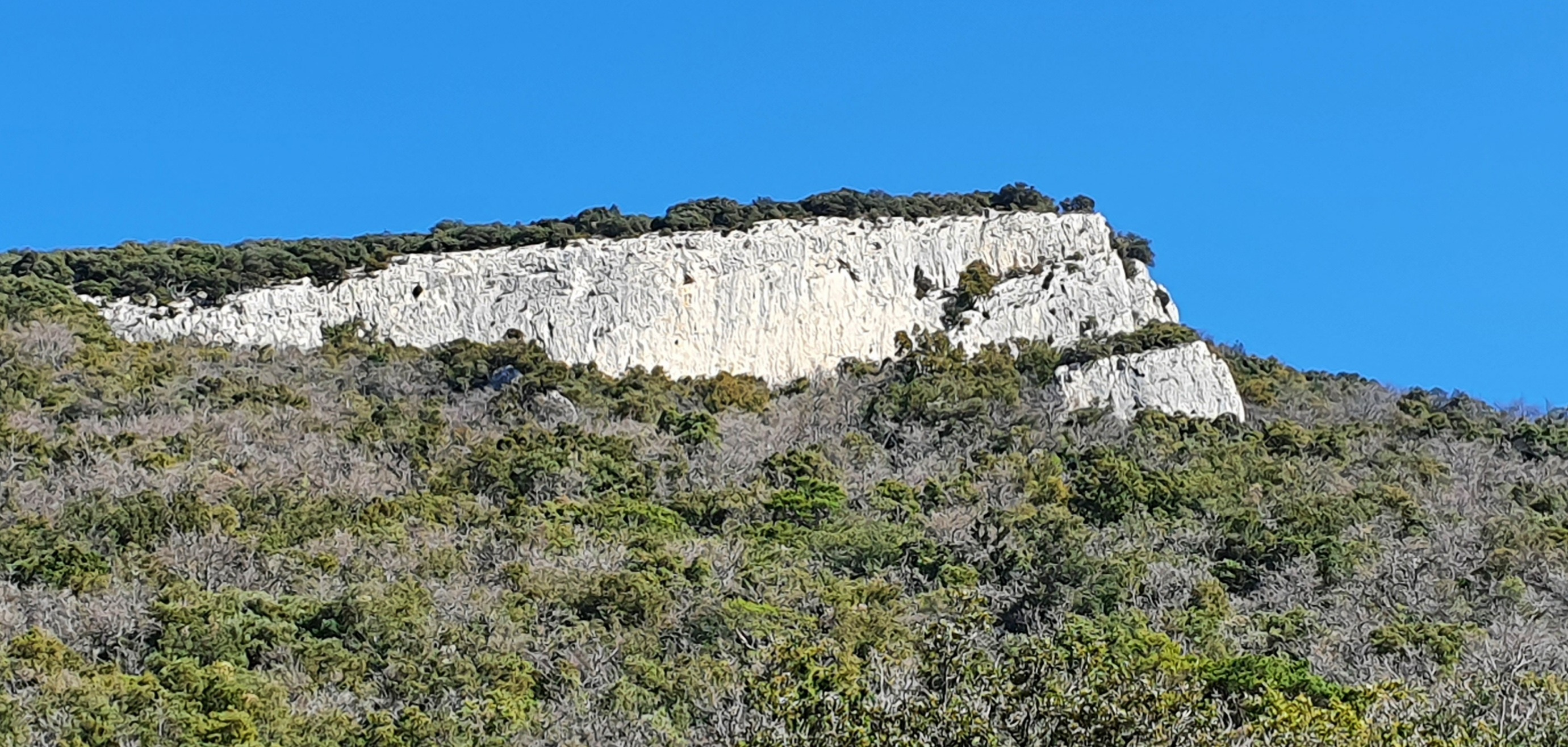
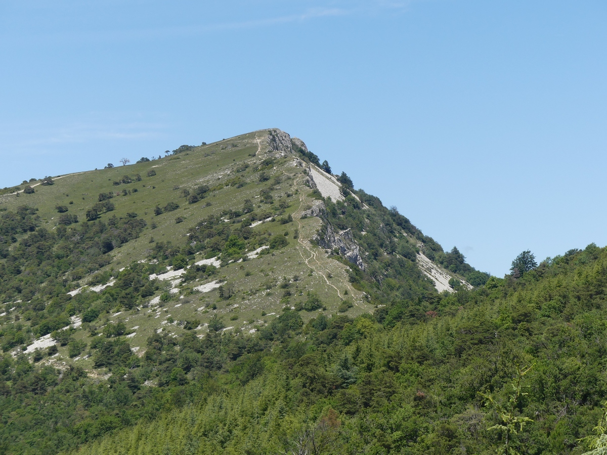
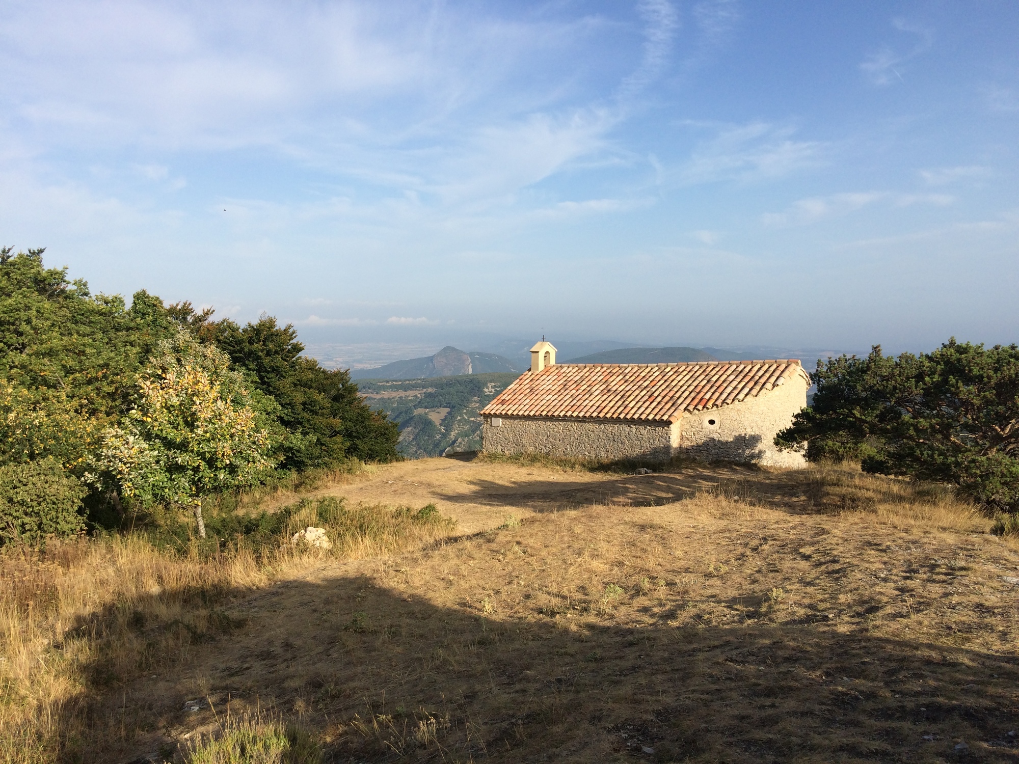
France > Auvergne-Rhône-Alpes > Drôme > Baronnies Provençales Regional Natural Park
Length
6km
Duration
1h30min
Elev gain
79m
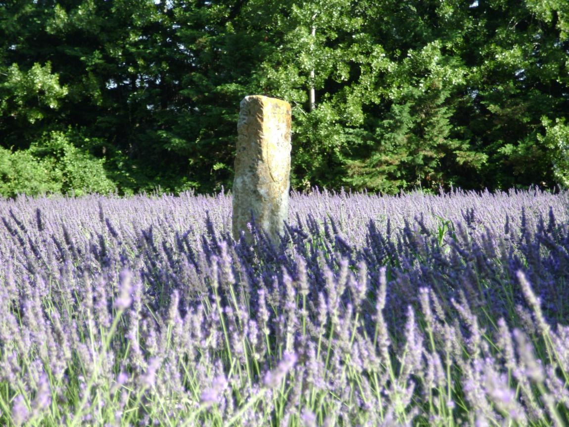
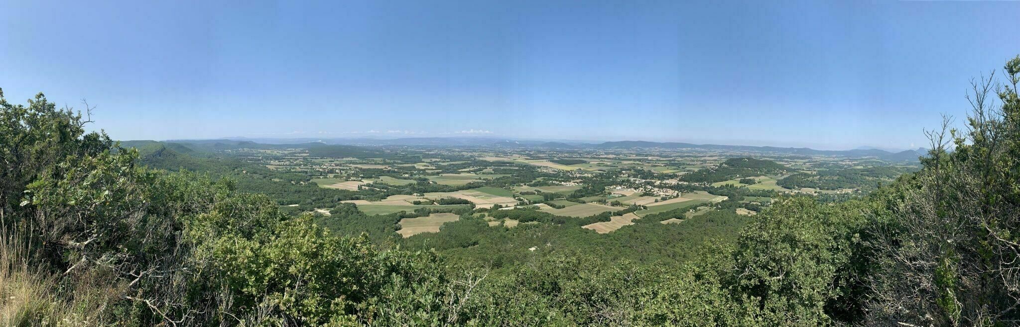
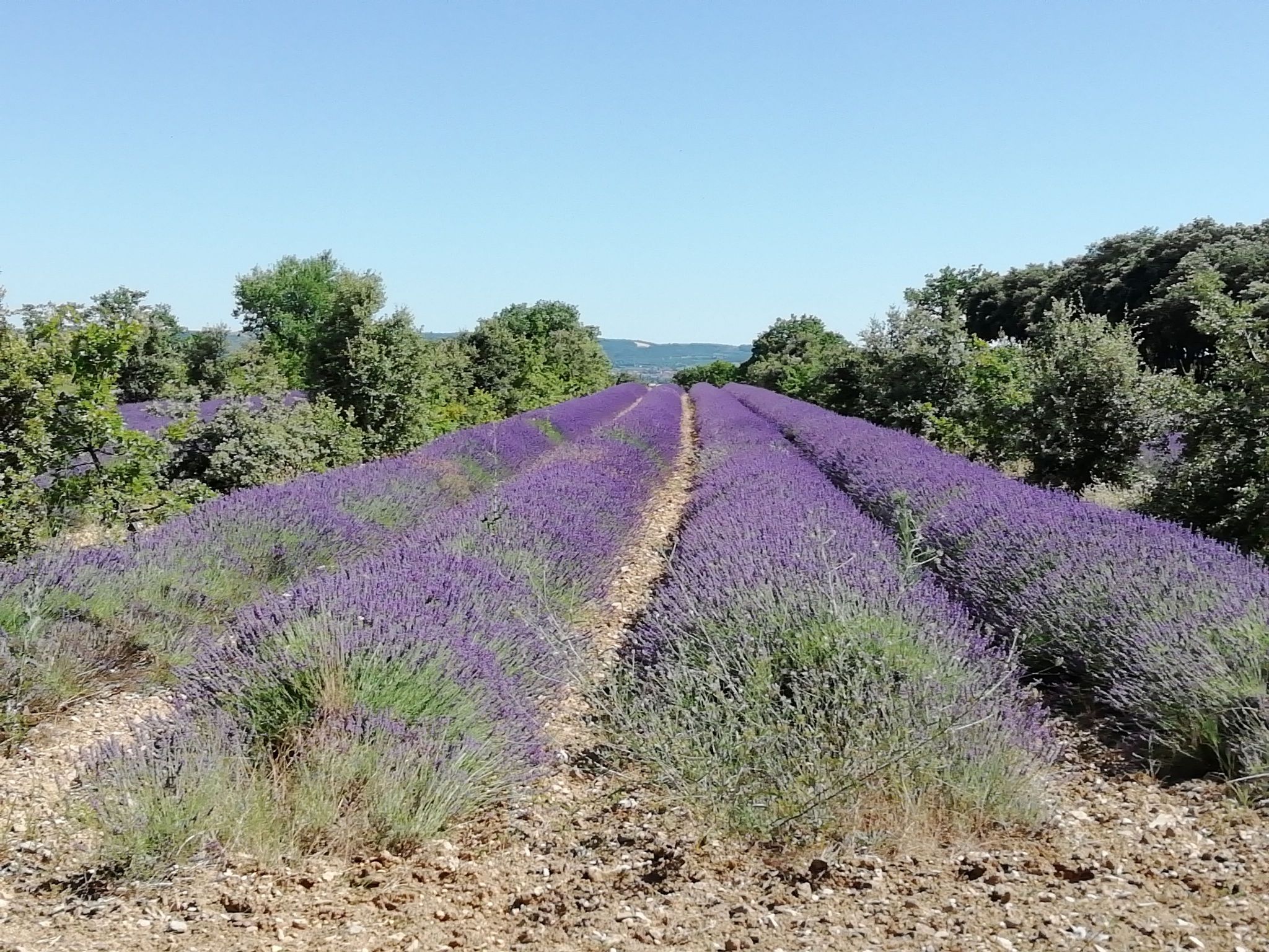
Nice little walk without difficulty. The path, in the middle of vines and lavender, is marked out and decorated with explanatory panels.
Note however that the walk is mainly on a paved road.

Already more than 200,000 users!
Uphill
79m
Highest point
293m
Downhill
79m
Lowest point
250m
Route type
Loop
Download the map on your smartphone to save battery and rest assured to always keep access to the route, even without signal.
Includes IGN France and Swisstopo.
I indicate whether dogs are allowed or prohibited on this trail
All year
1 rating
Magnifique petit sentier qui permet de profiter des champs de vignes, de lavandes et même de quelques oliviers.
Très paisible et agréable. Attention tout de même, le sentier étant peu ombragé, a apporté de l'eau et d'être bien couvert du soleil.
Also enjoy:

Already more than 200,000 users!