Uphill
563m
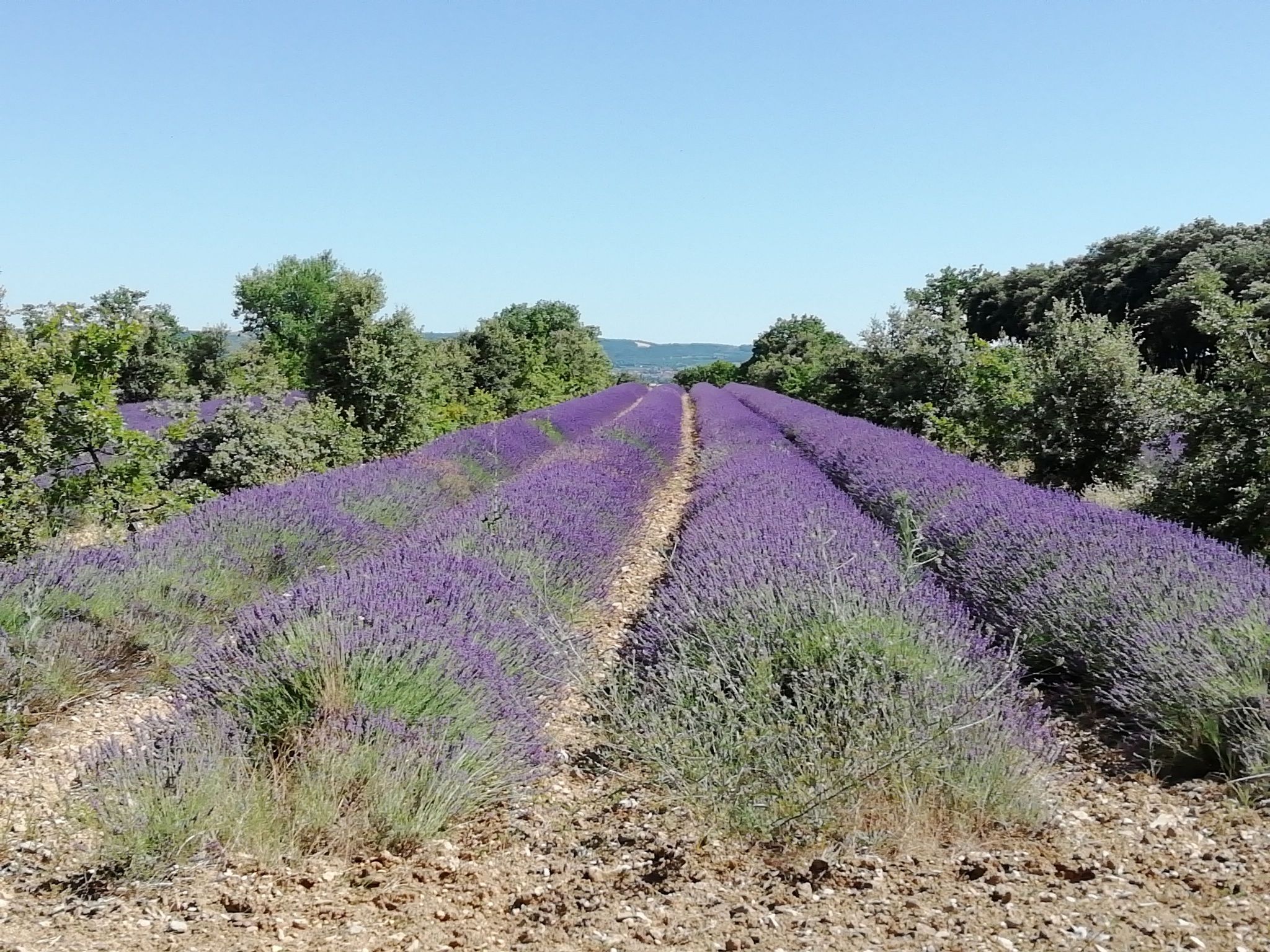
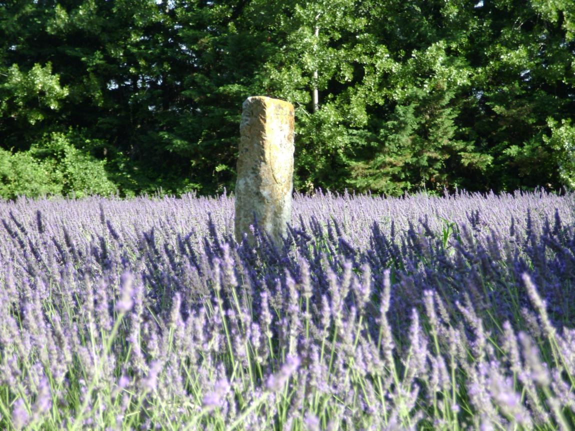
France > Auvergne-Rhône-Alpes > Drôme > Baronnies Provençales Regional Natural Park
Length
9km
Duration
4h
Elev gain
563m
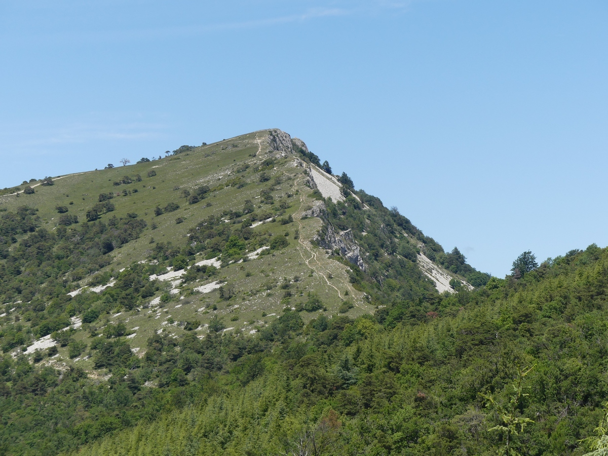
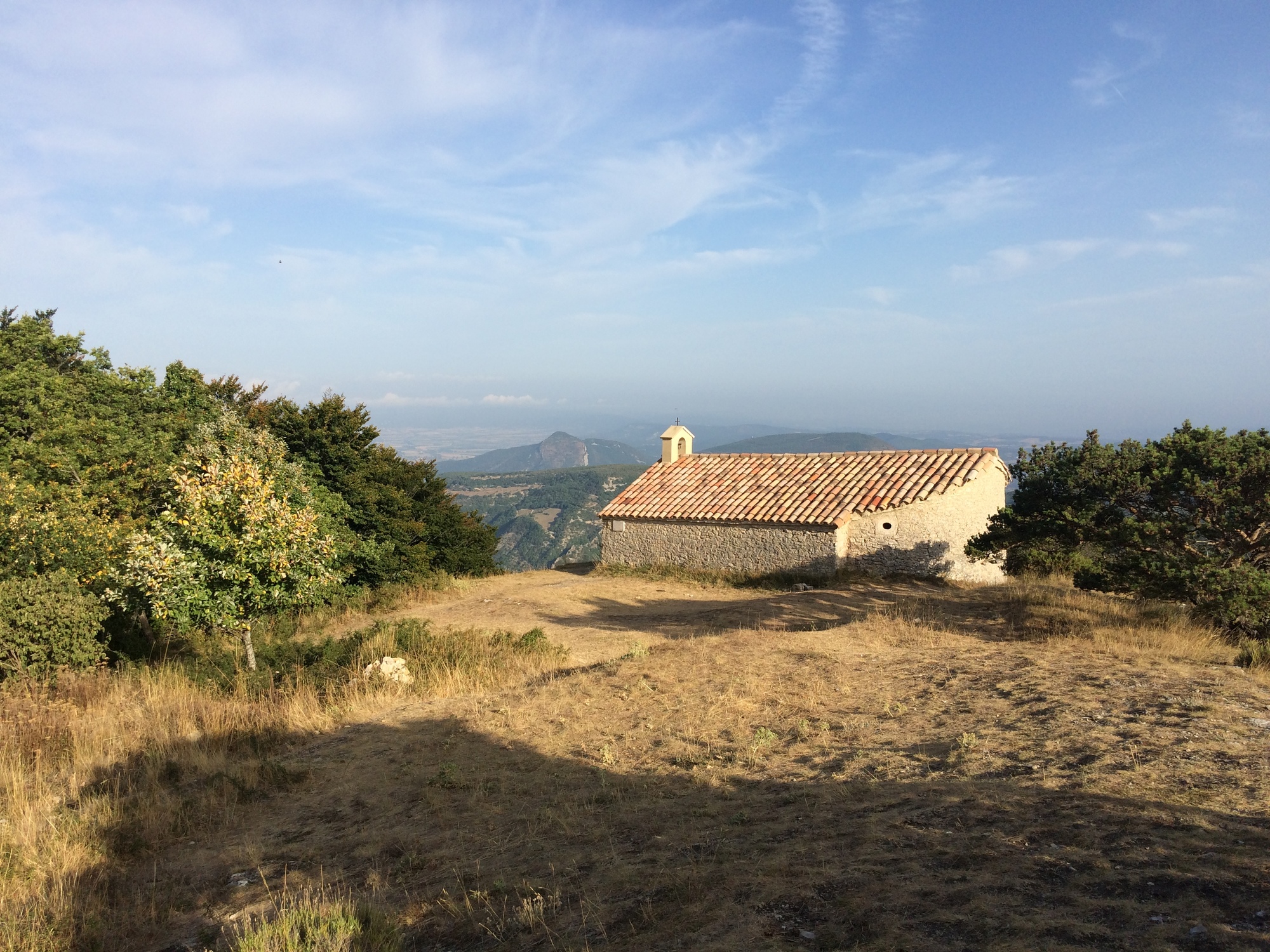
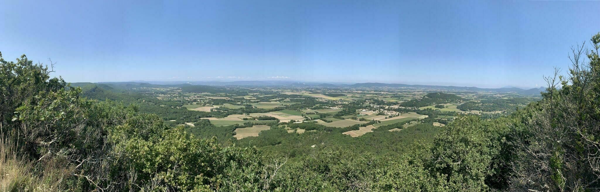
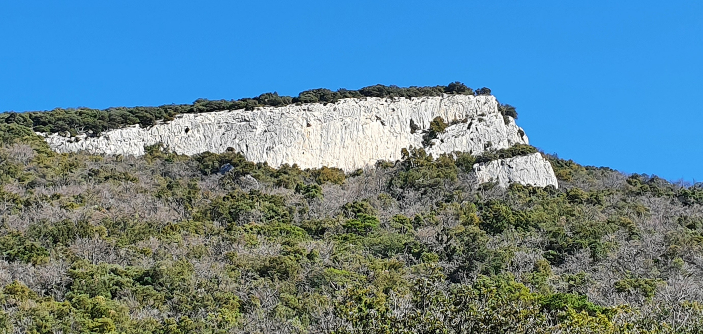
Ascent of a summit with the characteristic triangular shape, and offering a nice view on the valley of the Rhône and up to Mont Ventoux.

Already more than 200,000 users!
Uphill
563m
Highest point
961m
Downhill
563m
Lowest point
441m
Route type
Loop
Download the map on your smartphone to save battery and rest assured to always keep access to the route, even without signal.
Includes IGN France and Swisstopo.
I indicate whether dogs are allowed or prohibited on this trail
All year
2 ratings
Also enjoy:

Already more than 200,000 users!