Uphill
450m
Length
7km
Duration
2h30min
Elev gain
450m
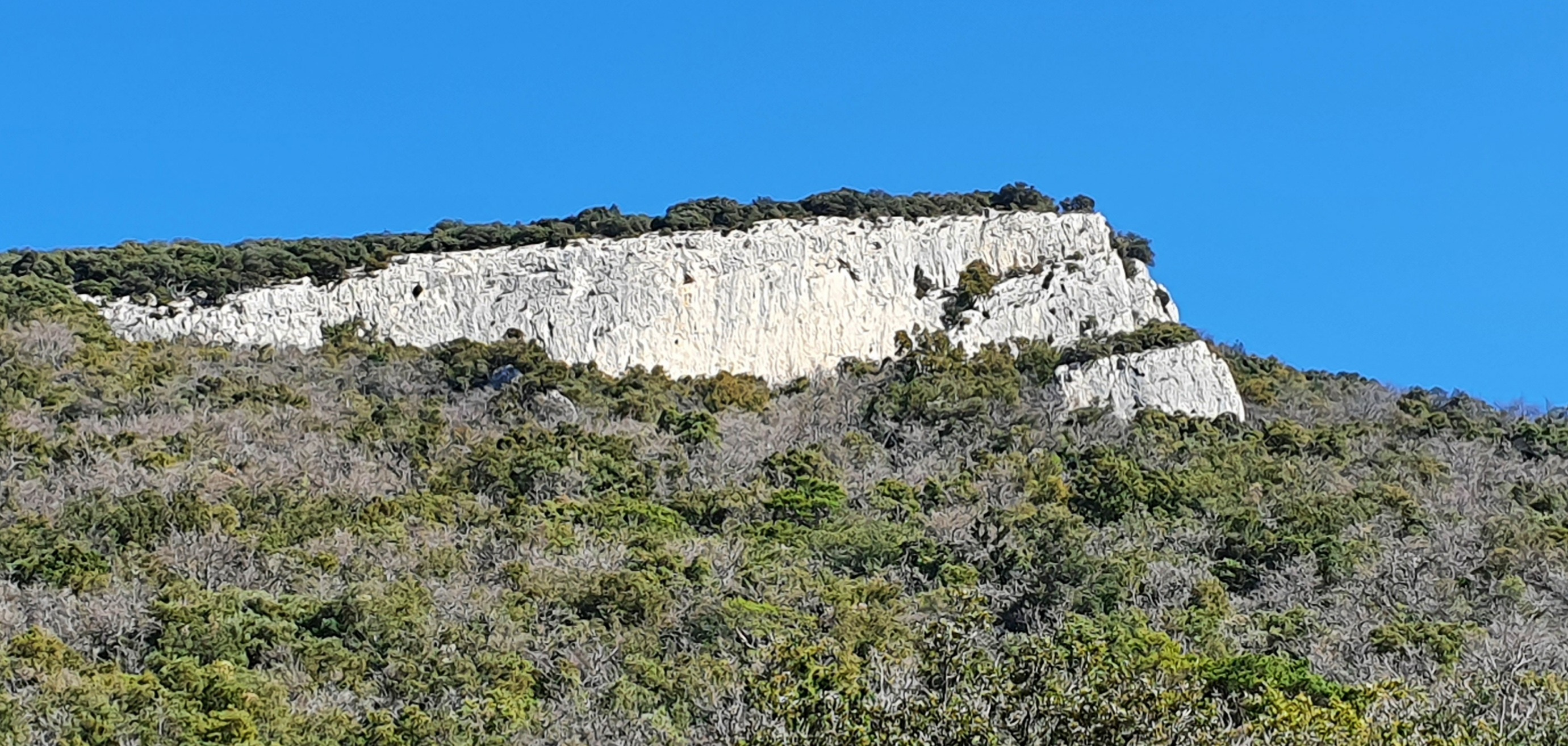
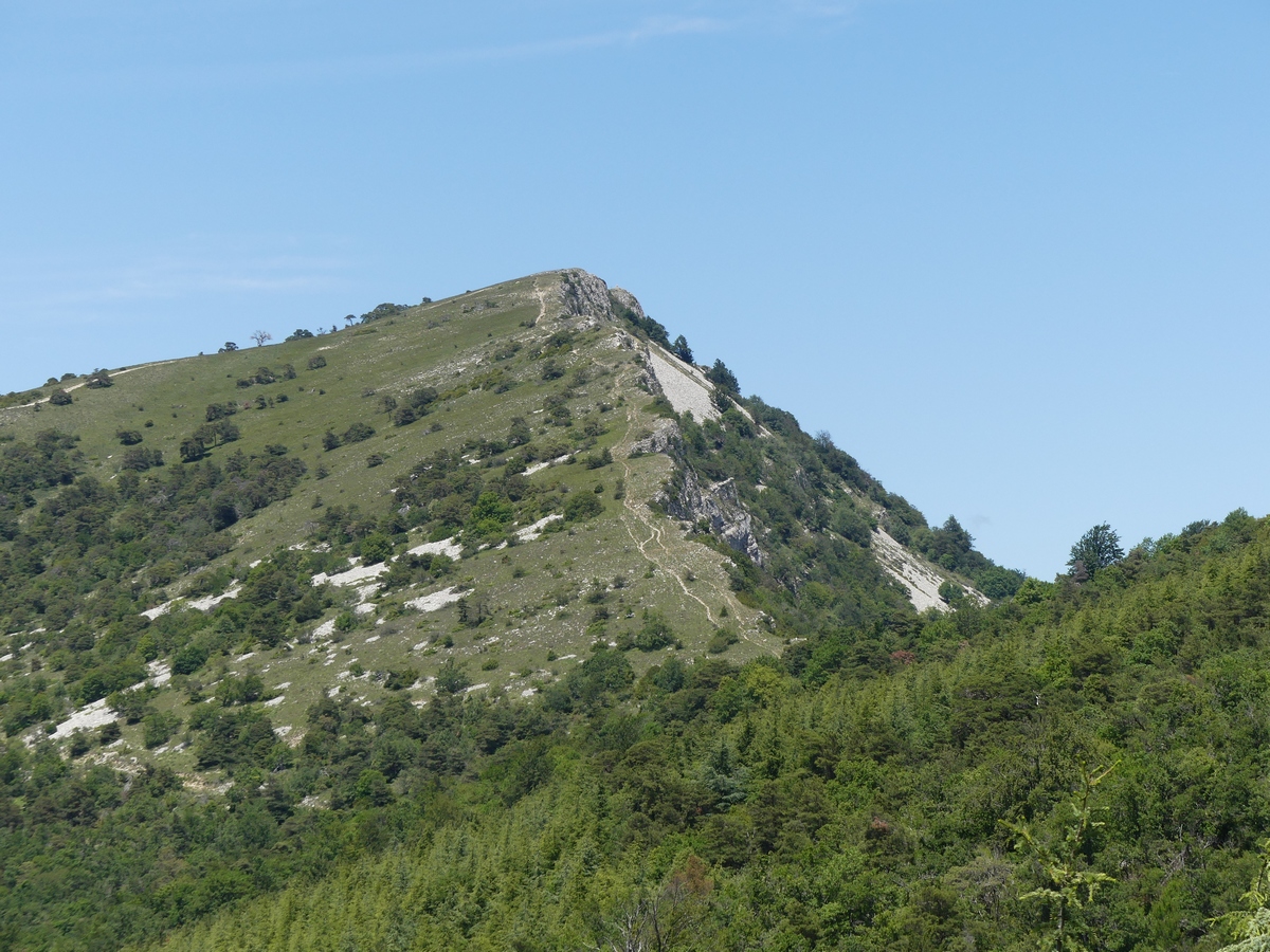
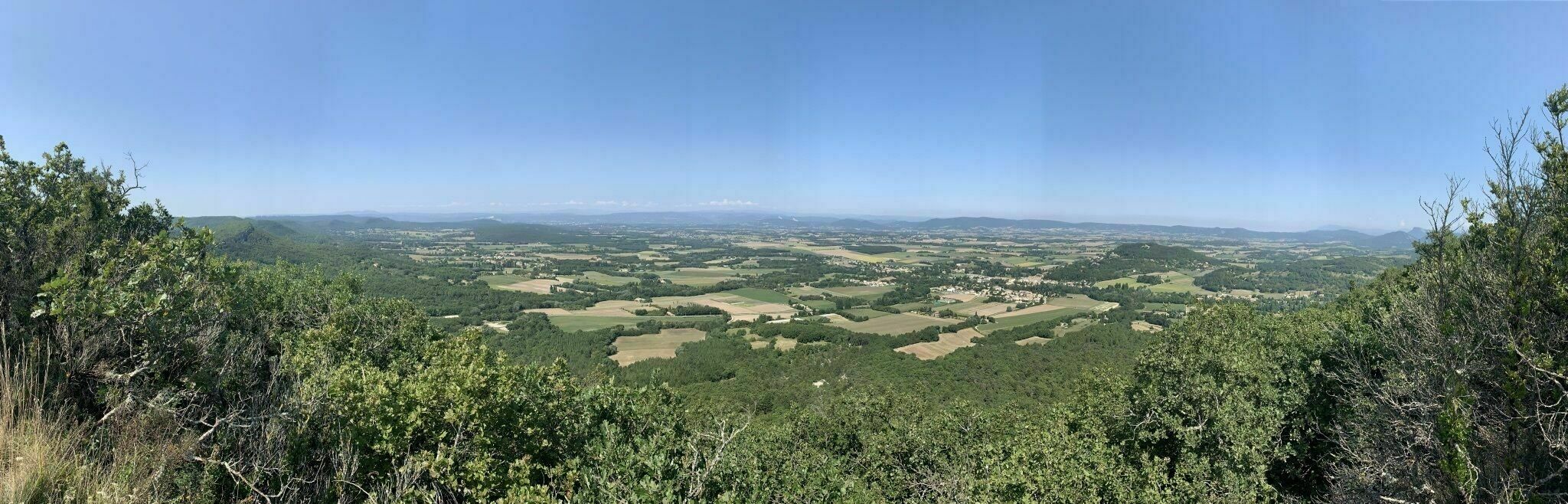
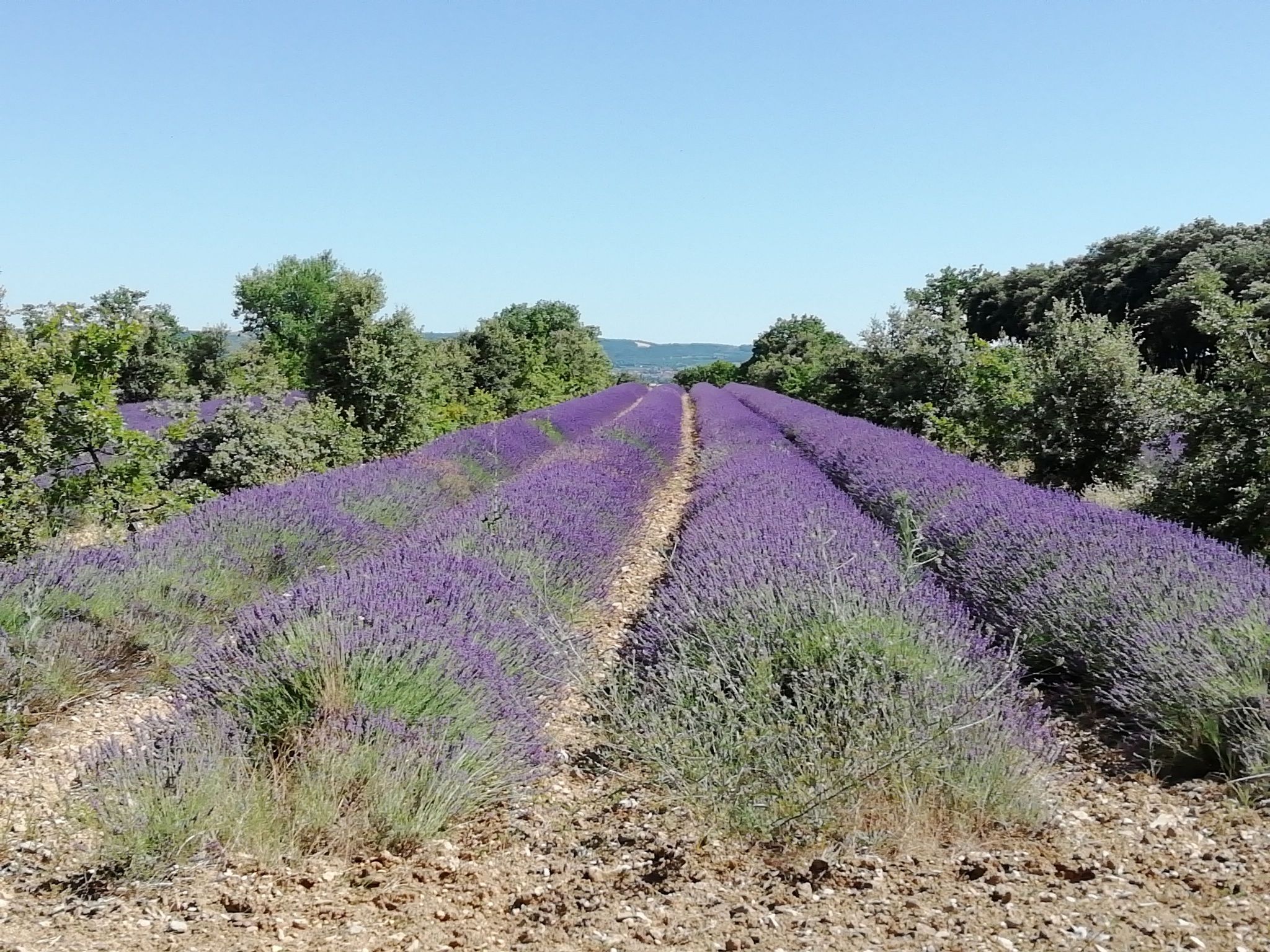
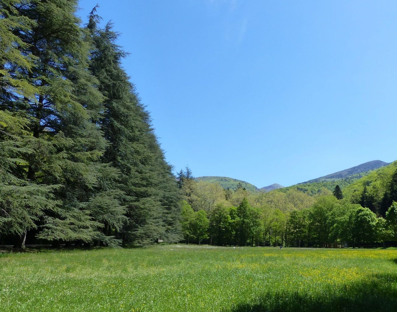
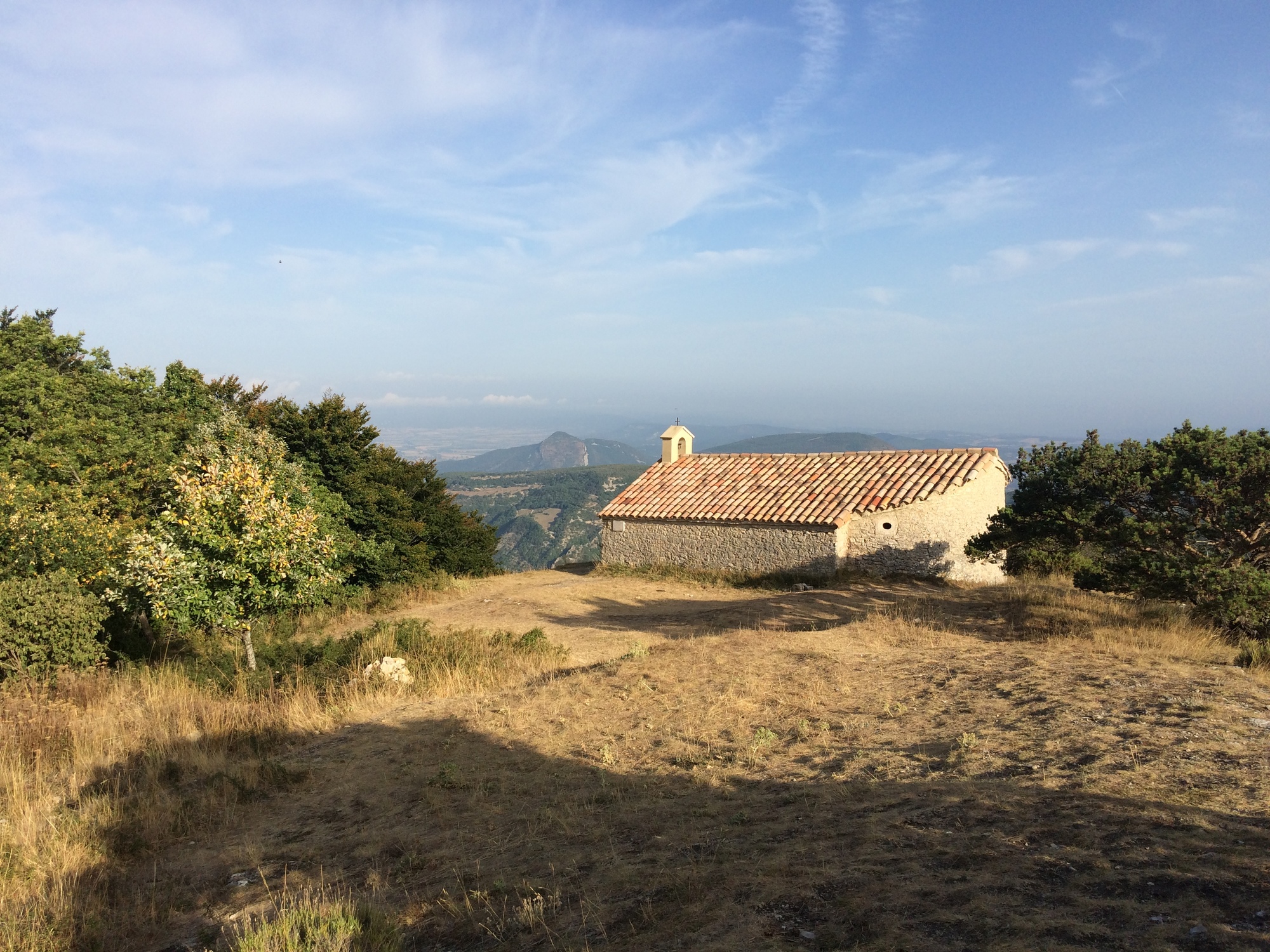
Pleasant hike that leads to the Saint-Maurice chapel. The route takes place on the heights of Dieulefit and offers beautiful views. The return to the starting point is via the same path.

Already more than 200,000 users!
Uphill
450m
Highest point
929m
Downhill
450m
Lowest point
487m
Route type
There and back
Download the map on your smartphone to save battery and rest assured to always keep access to the route, even without signal.
Includes IGN France and Swisstopo.
I indicate whether dogs are allowed or prohibited on this trail
All year
0 ratings
Also enjoy:

Already more than 200,000 users!