Uphill
803m
France > Auvergne-Rhône-Alpes > Drôme > Baronnies Provençales Regional Natural Park
Length
13km
Duration
6h
Elev gain
803m
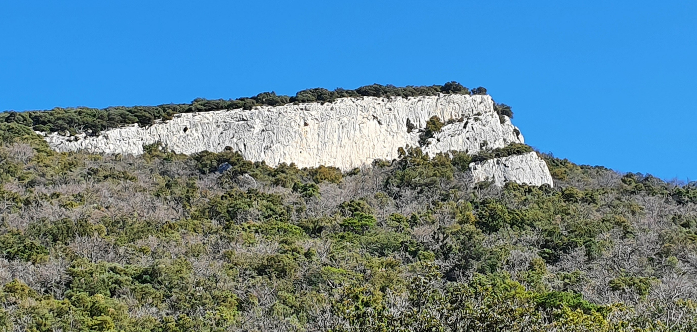
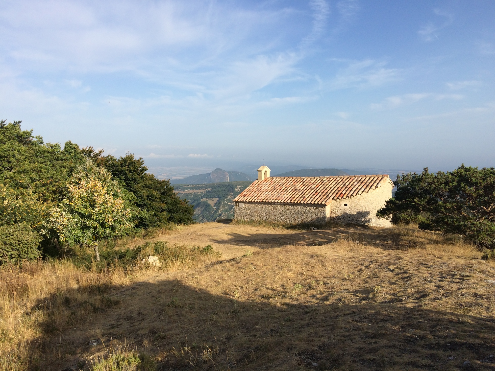
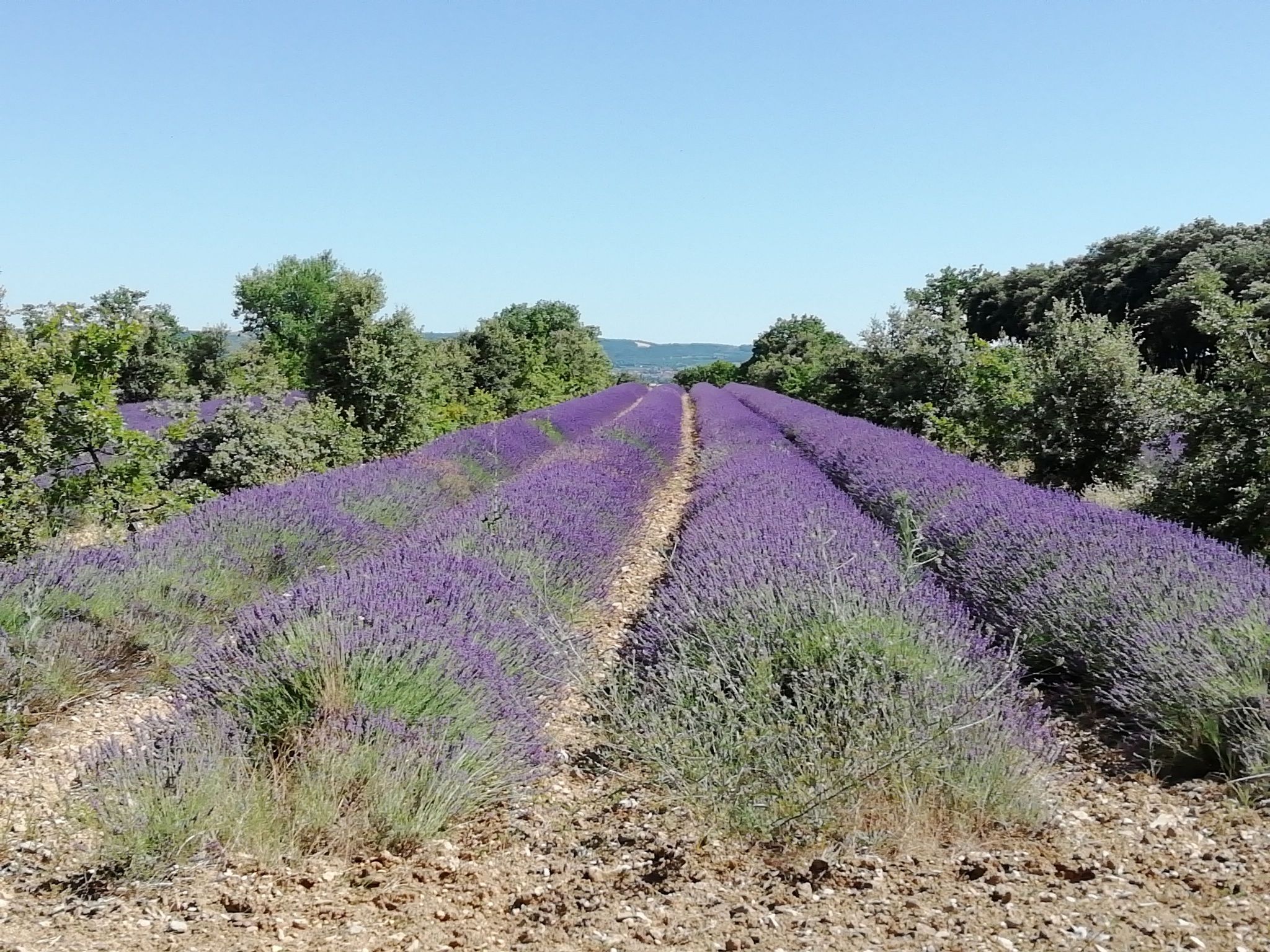
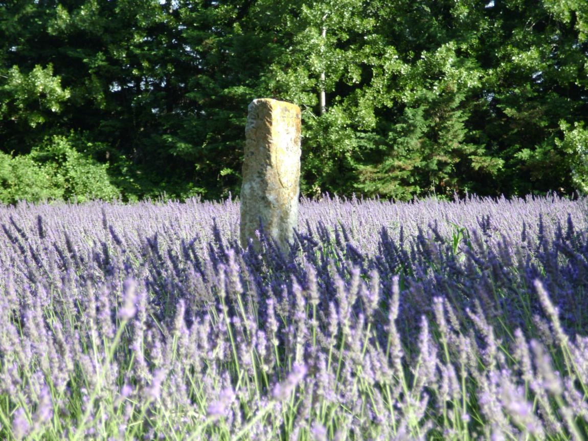
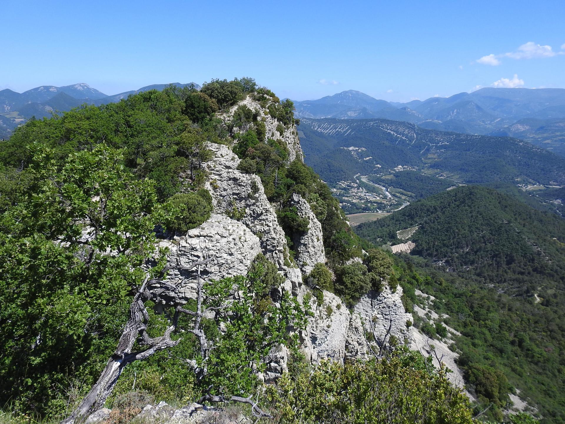
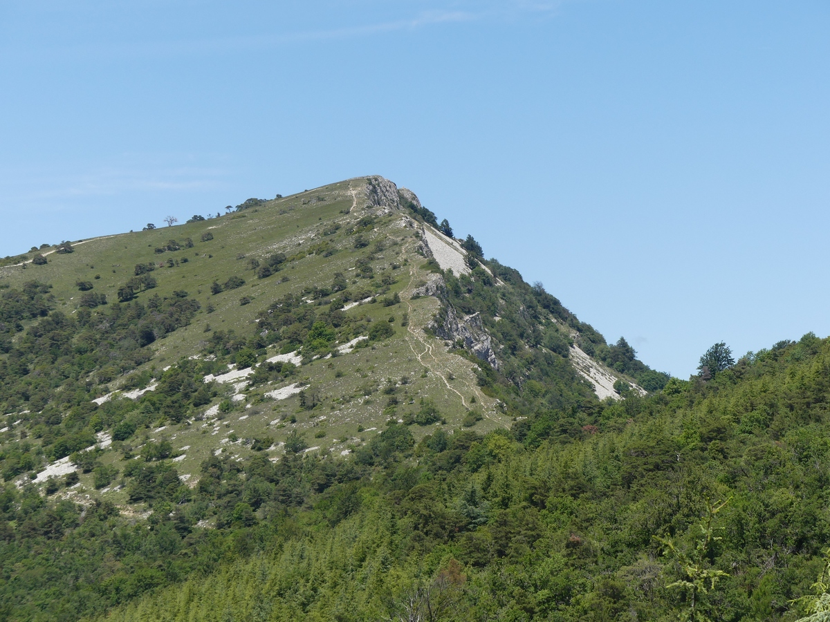
This hike leads to the Garaux rock, 1,341 meters above sea level. The path alternates between forest, meadows and road. At the top, the view is superb.

Already more than 200,000 users!
Uphill
803m
Highest point
1330m
Downhill
803m
Lowest point
537m
Route type
Loop
Download the map on your smartphone to save battery and rest assured to always keep access to the route, even without signal.
Includes IGN France and Swisstopo.
I indicate whether dogs are allowed or prohibited on this trail
Can be difficult in Winter
0 ratings
Also enjoy:

Already more than 200,000 users!