Uphill
255m
Length
10km
Duration
3h
Elev gain
255m
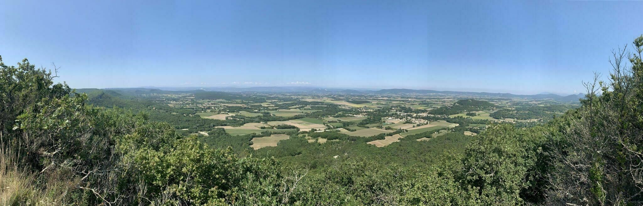
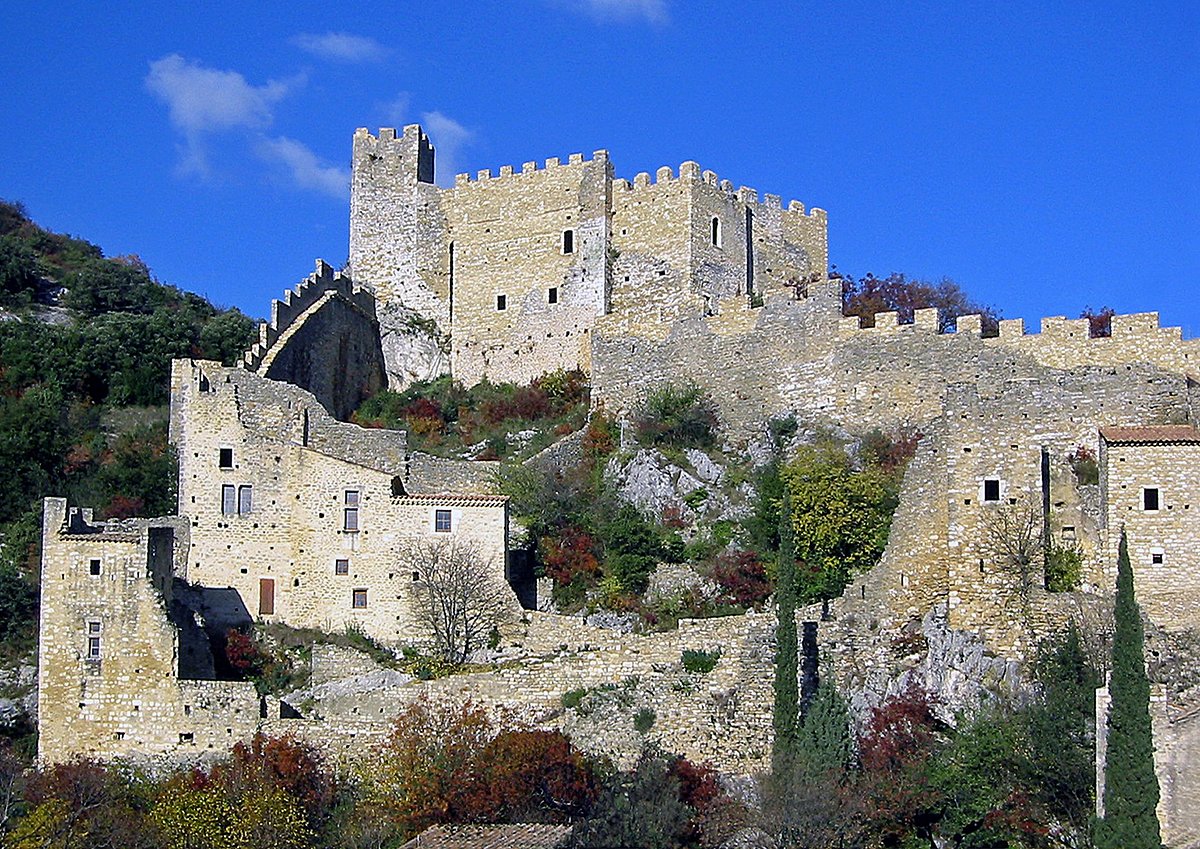
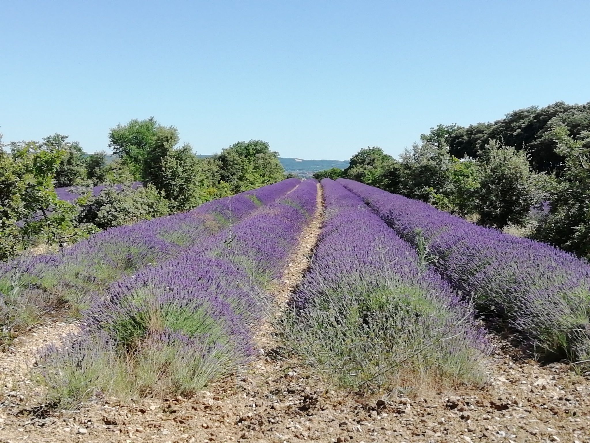
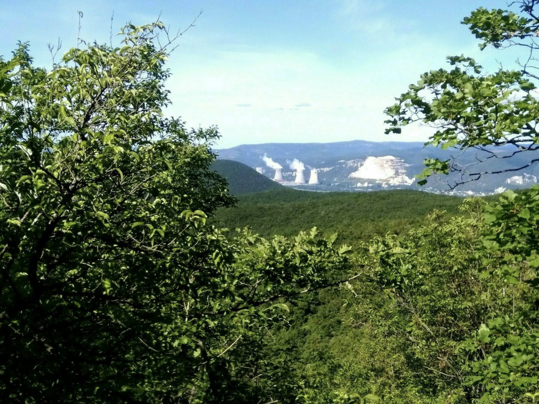
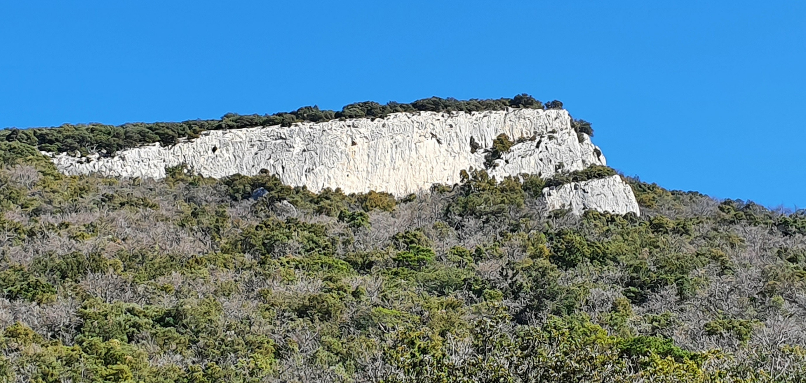
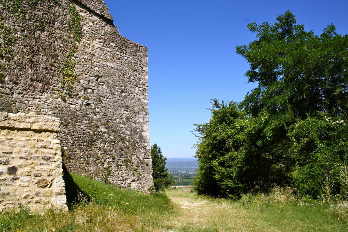
This route allows you to discover the old village of Allan, abandoned during the course of the 19th century for a new village located below. The trail then winds mainly in the forest.

Already more than 200,000 users!
Uphill
255m
Highest point
372m
Downhill
255m
Lowest point
205m
Route type
Loop
Download the map on your smartphone to save battery and rest assured to always keep access to the route, even without signal.
Includes IGN France and Swisstopo.
I indicate whether dogs are allowed or prohibited on this trail
All year
1 rating
Also enjoy:

Already more than 200,000 users!