Uphill
419m
Length
8km
Duration
3h
Elev gain
419m
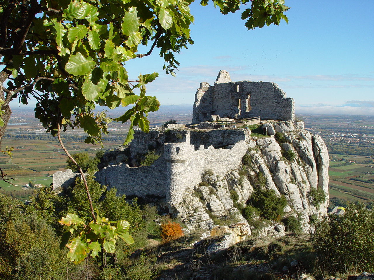
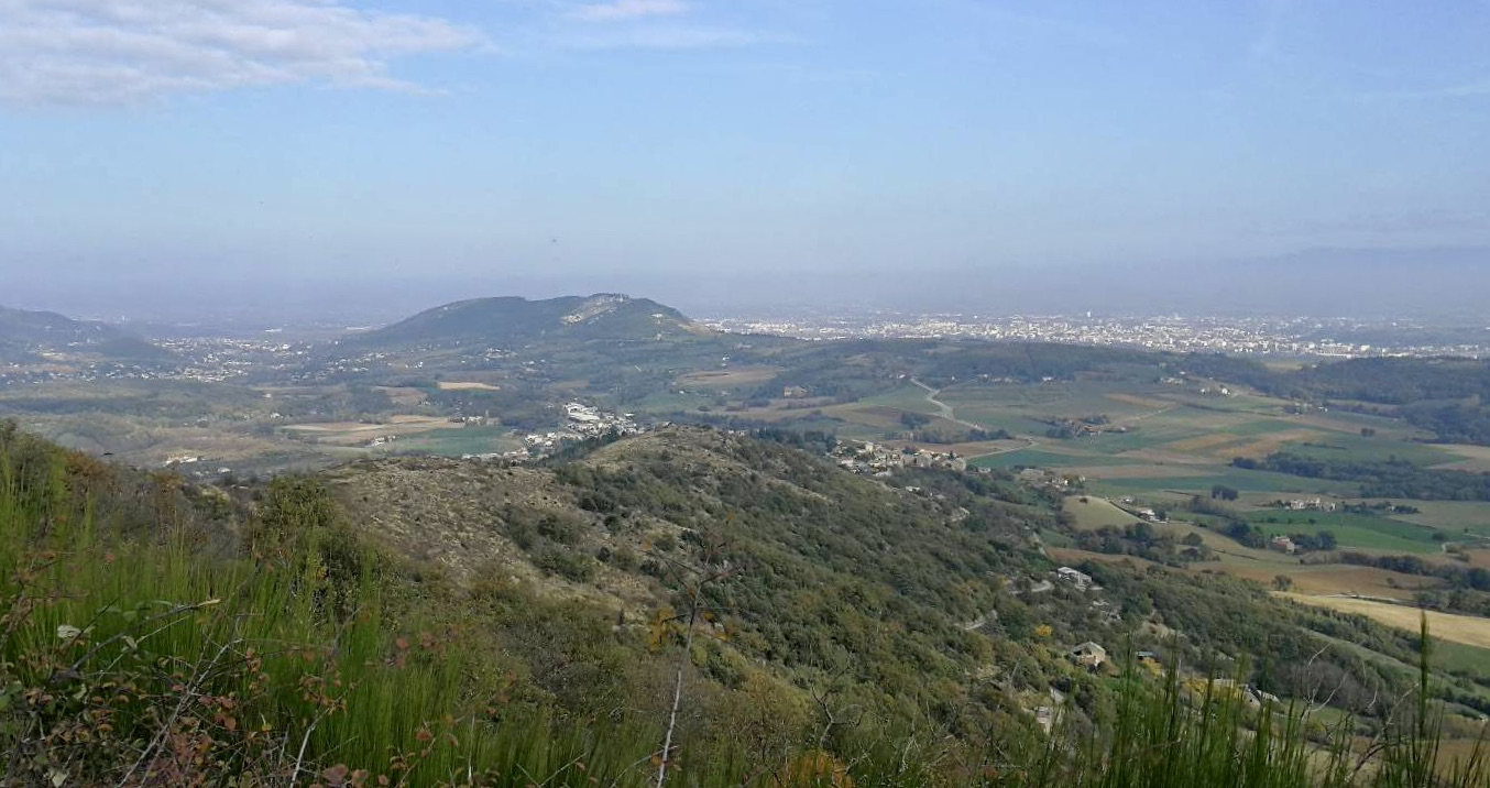
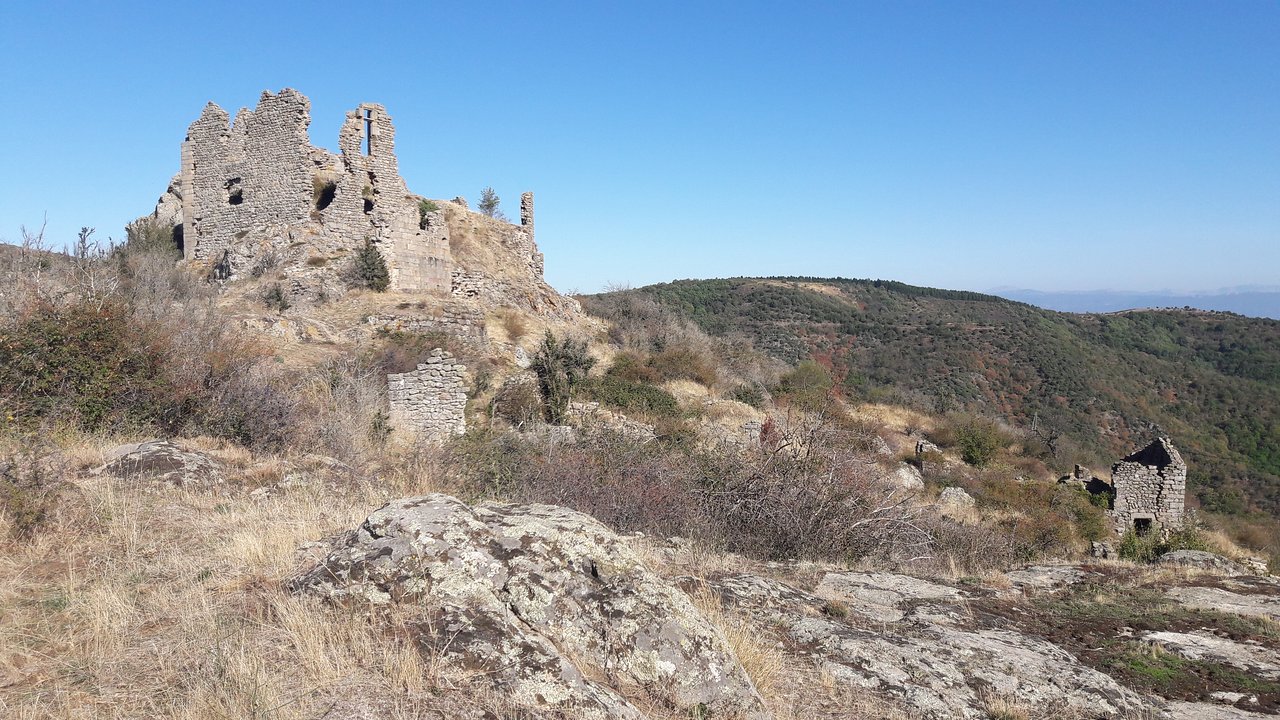
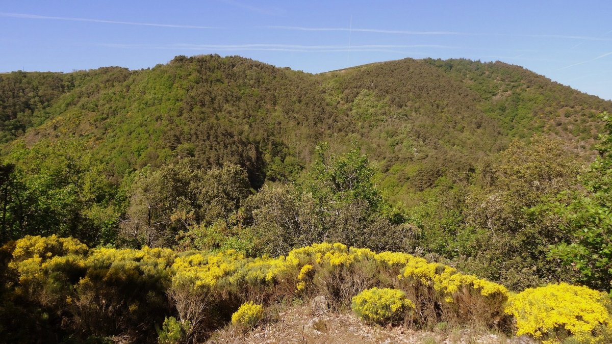
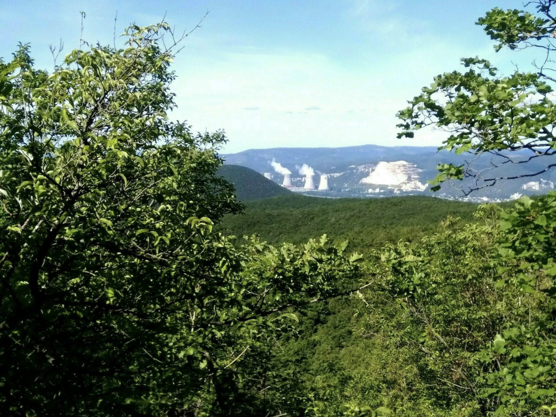
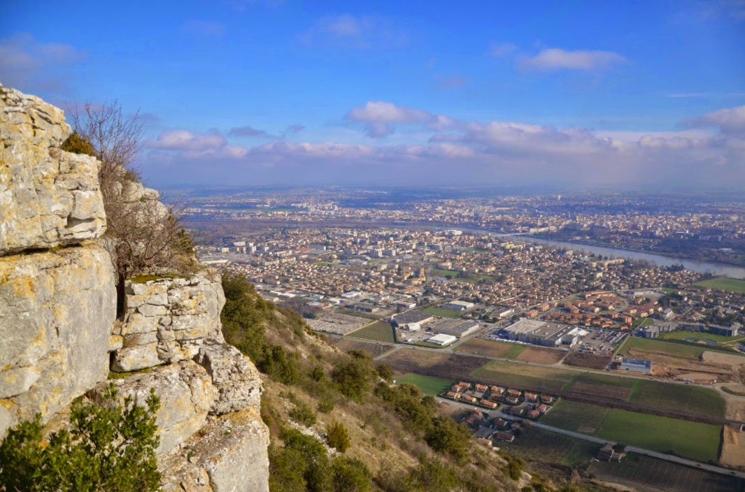
Departing from Guilherand-Granges, this hike takes place on the heights of the town. The route climbs rapidly to offer beautiful views of the valley and the Rhône, then makes a loop before returning to the starting point.

Already more than 200,000 users!
Uphill
419m
Highest point
395m
Downhill
419m
Lowest point
108m
Route type
Loop
Download the map on your smartphone to save battery and rest assured to always keep access to the route, even without signal.
Includes IGN France and Swisstopo.
I indicate whether dogs are allowed or prohibited on this trail
All year
0 ratings
Also enjoy:

Already more than 200,000 users!