Uphill
19m
Length
5km
Duration
1h30min
Elev gain
19m
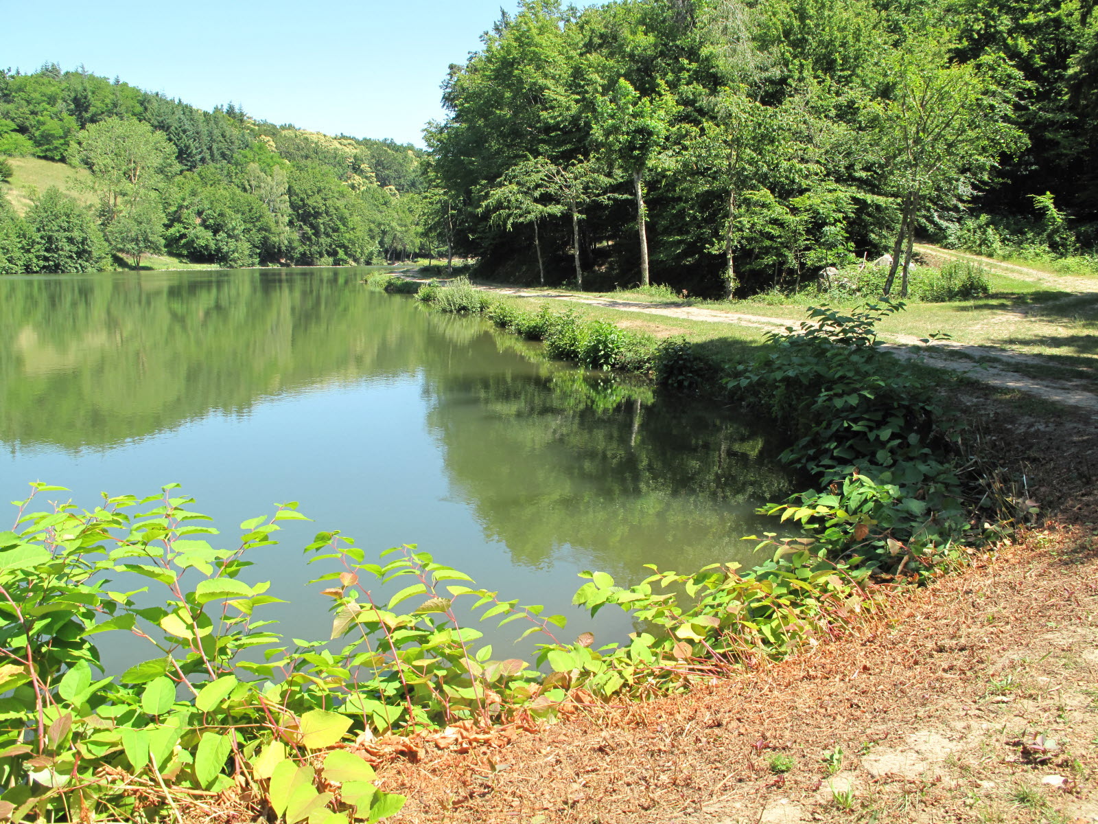
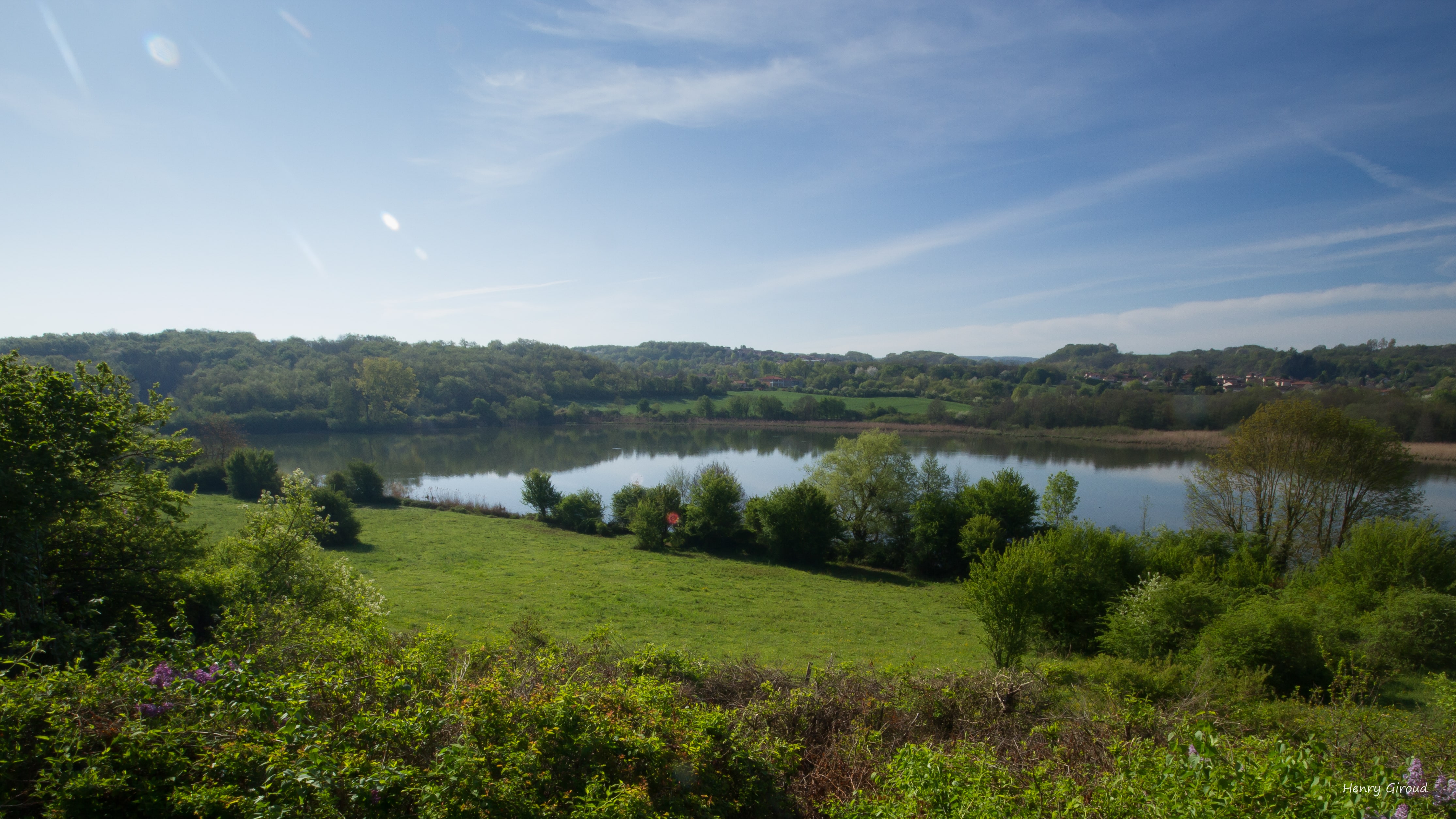
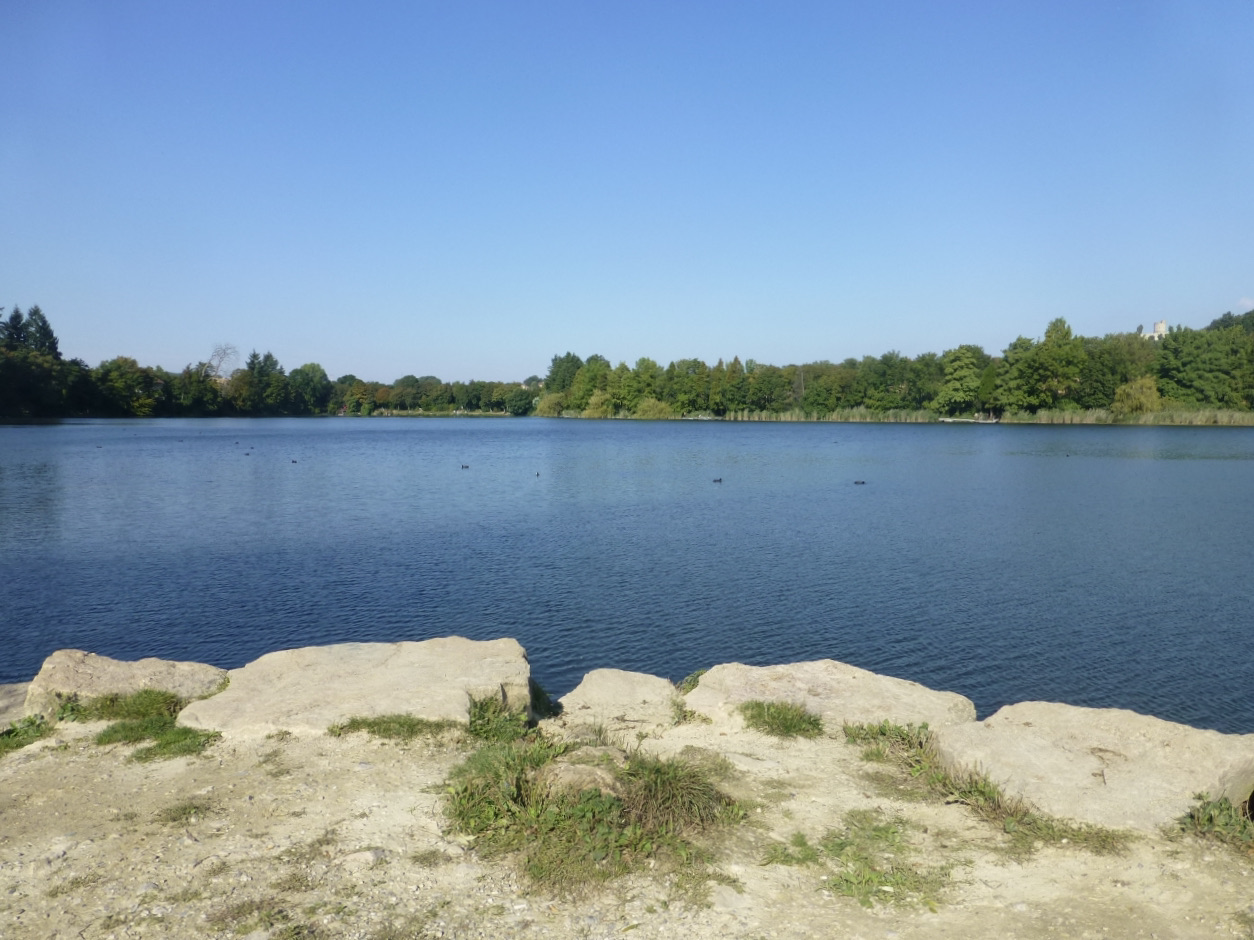
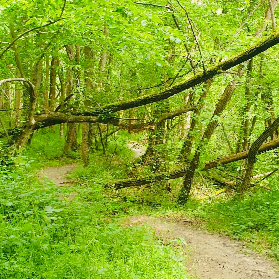
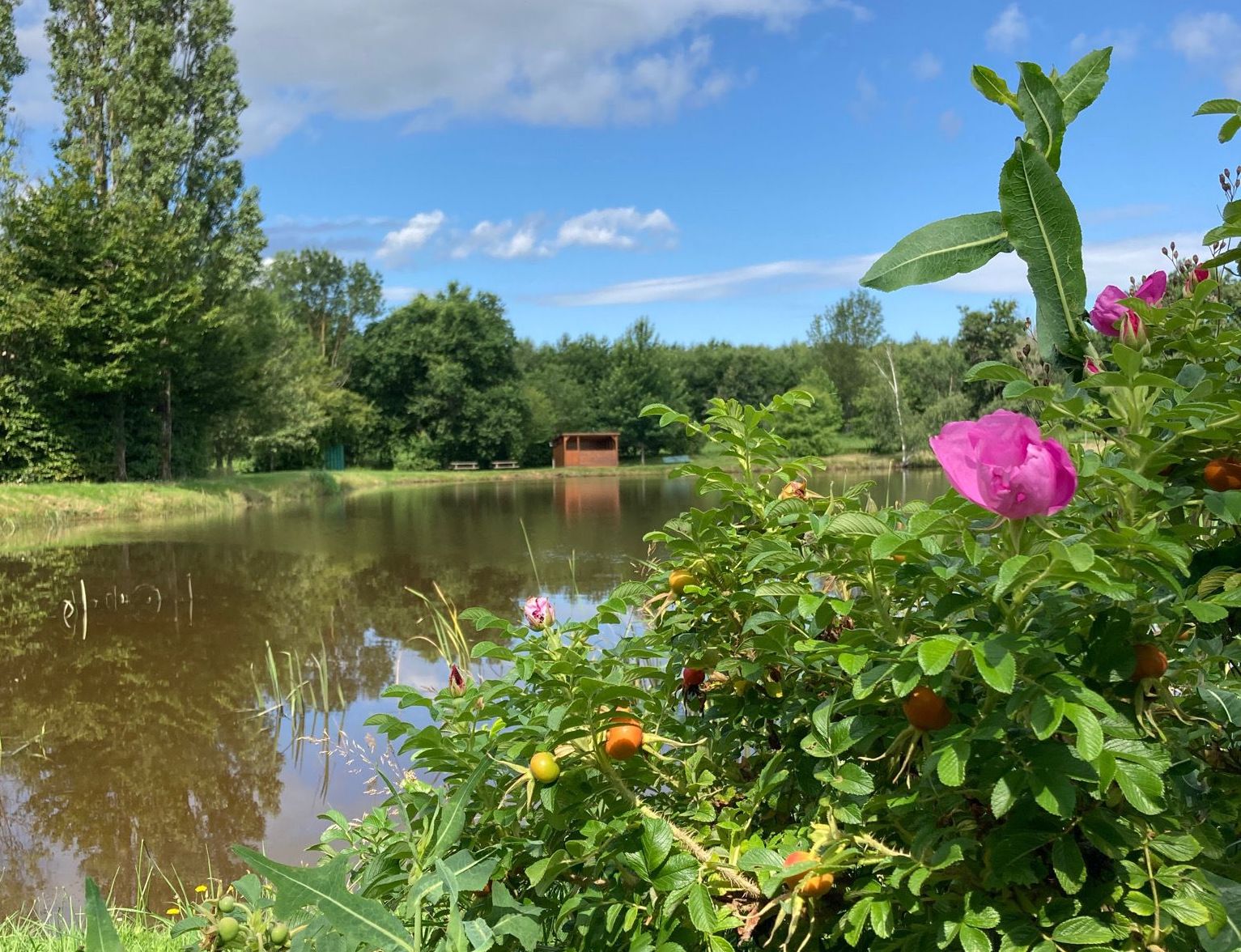
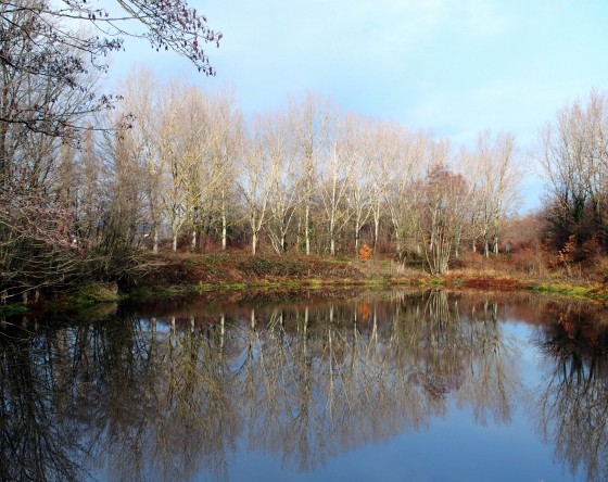
Walk in the wood of Burettes, north of the town of Marcilloles. The course makes a loop on a wild path and dotted with small water reservoirs.

Already more than 200,000 users!
Uphill
19m
Highest point
347m
Downhill
19m
Lowest point
328m
Route type
Loop
Download the map on your smartphone to save battery and rest assured to always keep access to the route, even without signal.
Includes IGN France and Swisstopo.
I indicate whether dogs are allowed or prohibited on this trail
All year
2 ratings
Also enjoy:

Already more than 200,000 users!