Uphill
180m
Length
13km
Duration
3h30min
Elev gain
180m
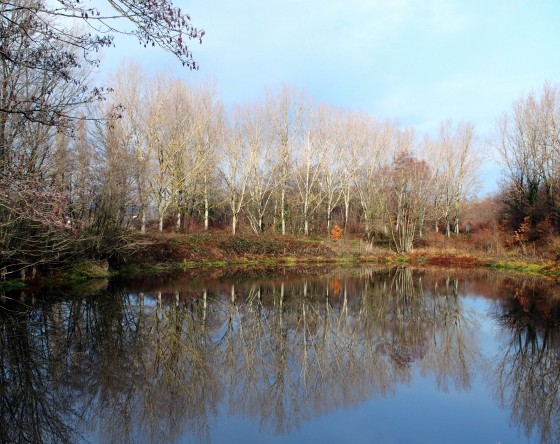
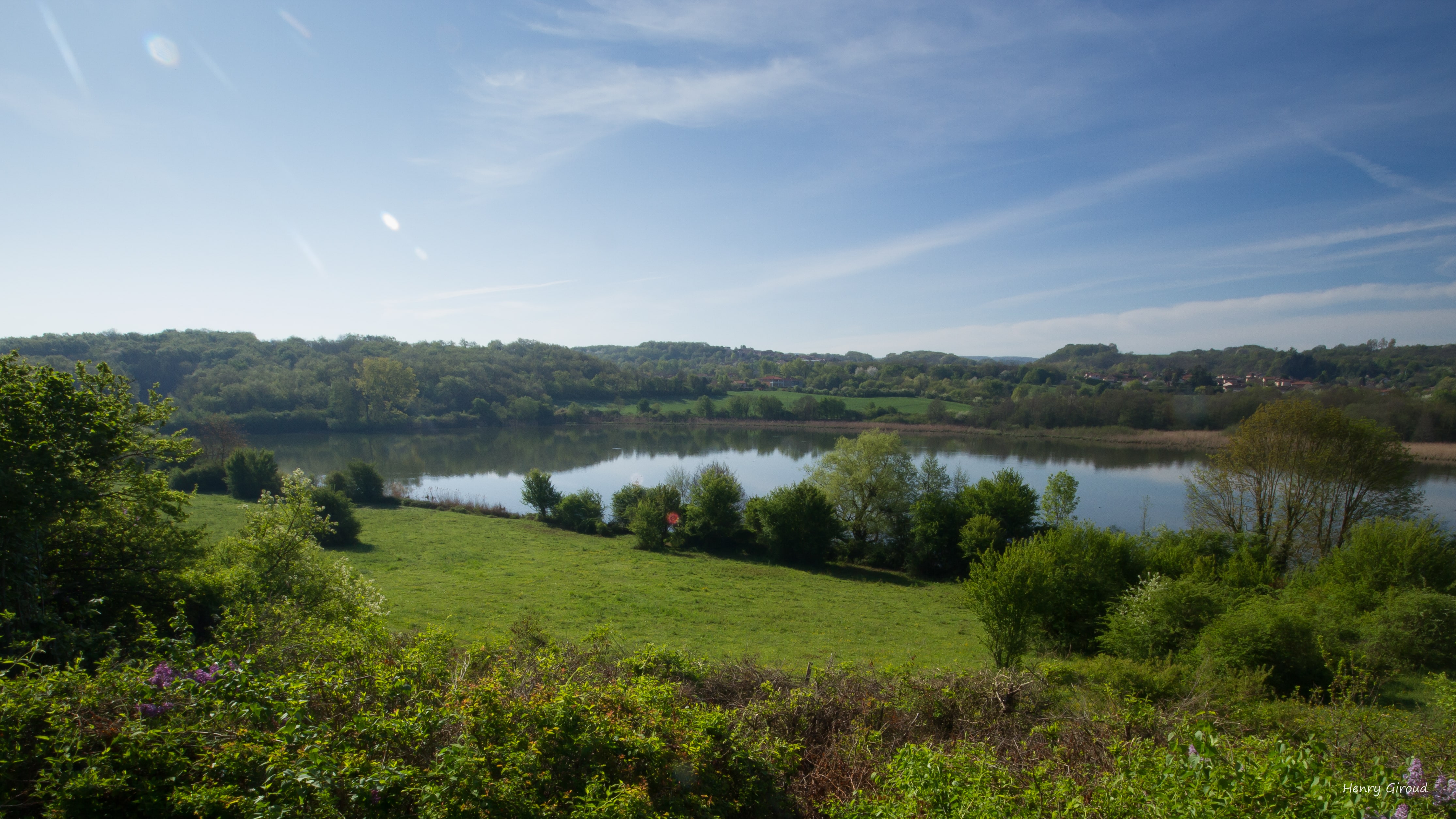
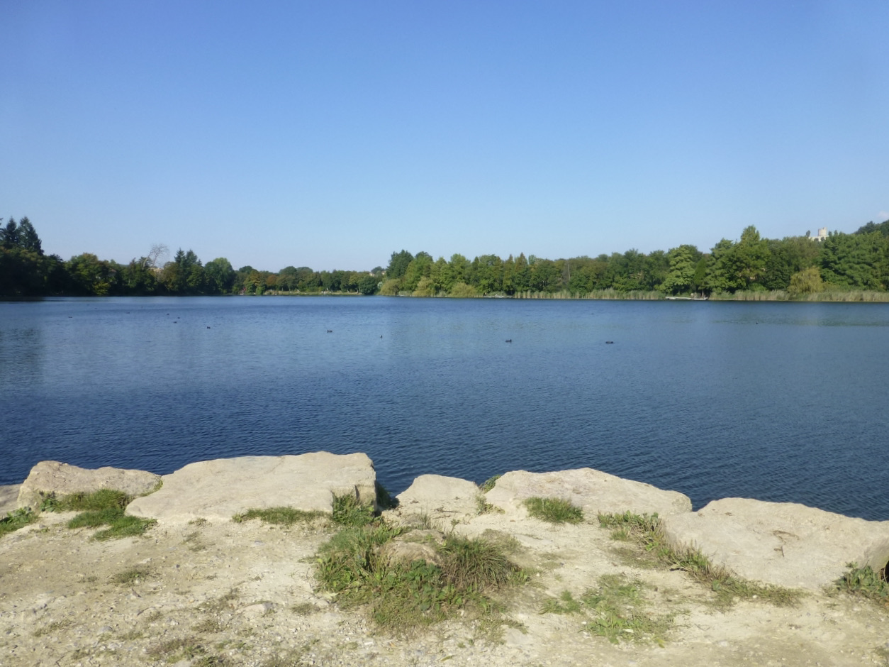
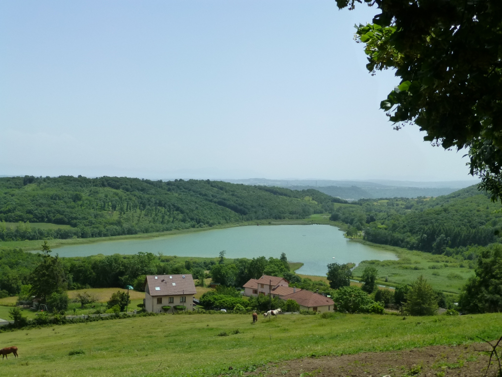
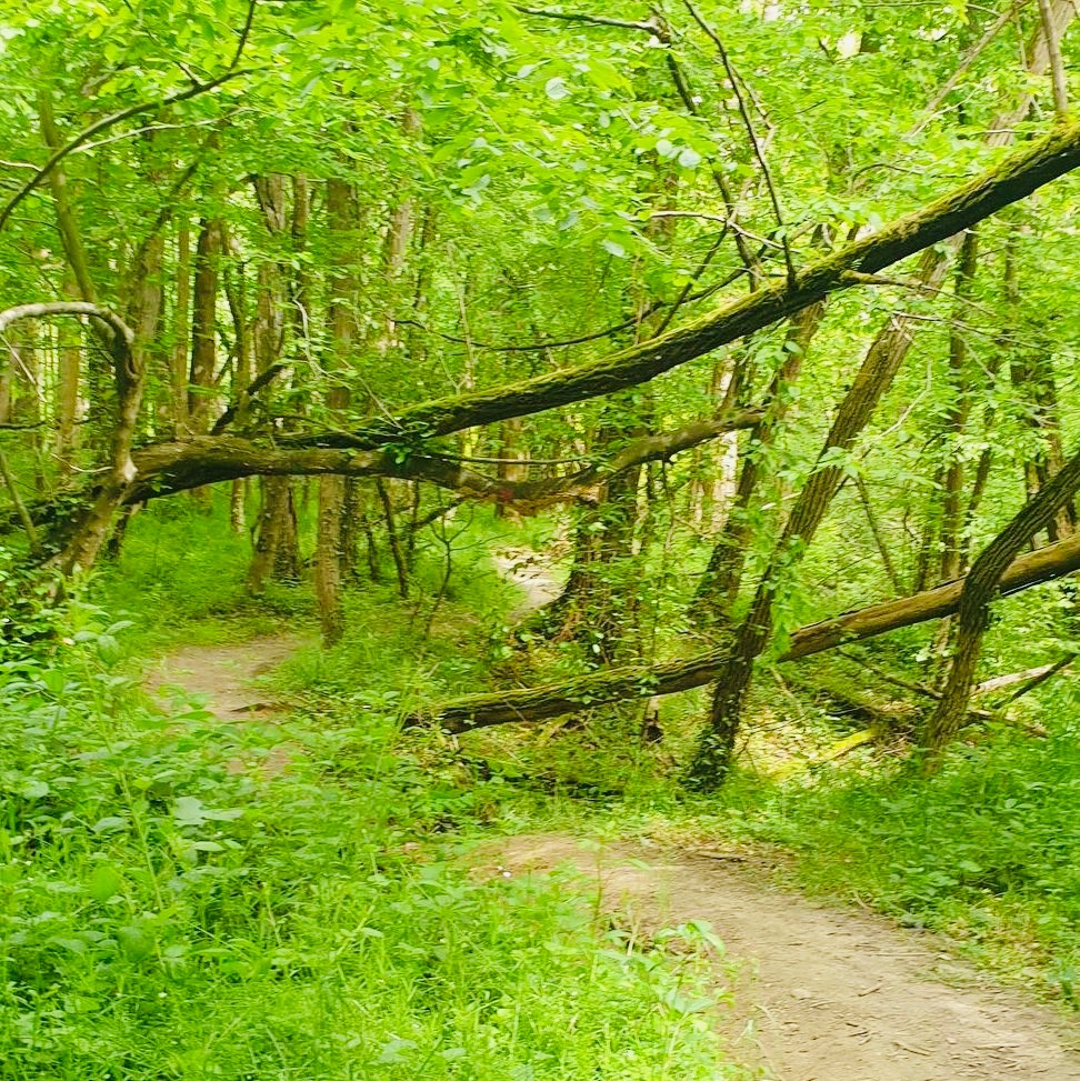
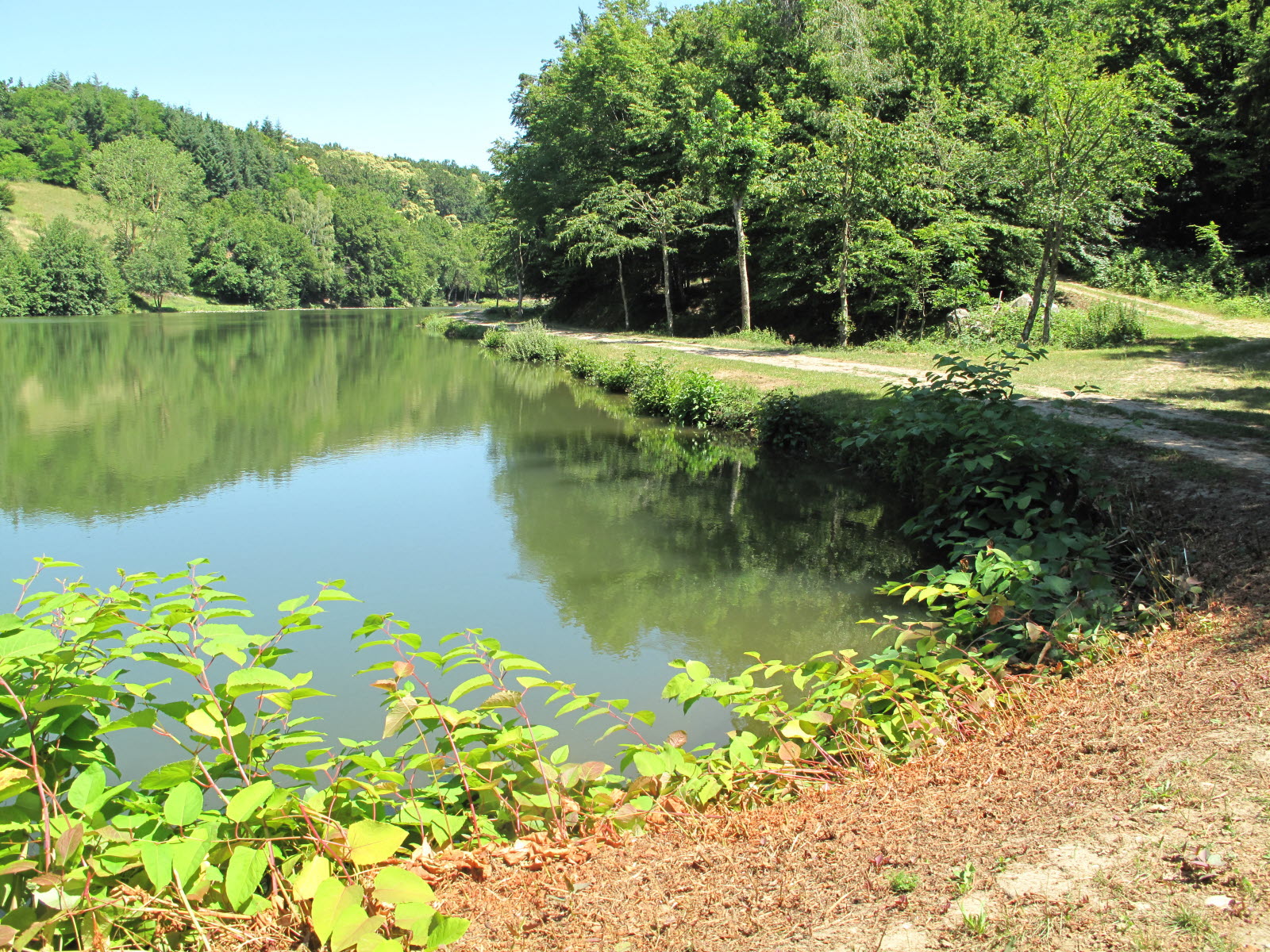
Leaving from Châtonnay, this hike makes a nice loop between undergrowth, fields and small ponds, in the heart of the Bonnevaux forest.

Already more than 200,000 users!
Uphill
180m
Highest point
567m
Downhill
180m
Lowest point
455m
Route type
Loop
Download the map on your smartphone to save battery and rest assured to always keep access to the route, even without signal.
Includes IGN France and Swisstopo.
I indicate whether dogs are allowed or prohibited on this trail
All year
6 ratings
Dommage la portion de route très fréquentée au point de départ. Surtout qu elle peut être évitée en partant de plus haut.
Also enjoy:

Already more than 200,000 users!