Uphill
75m
Length
5km
Duration
1h30min
Elev gain
75m
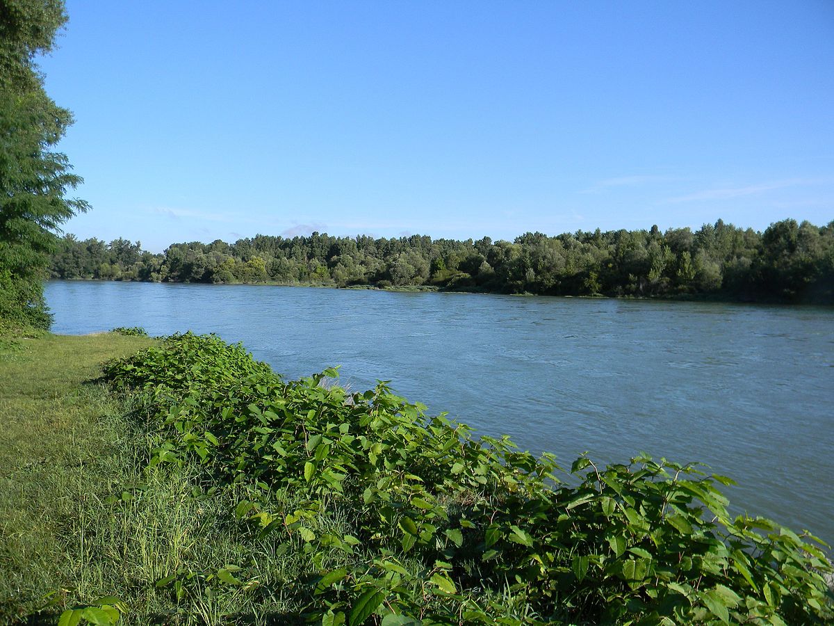
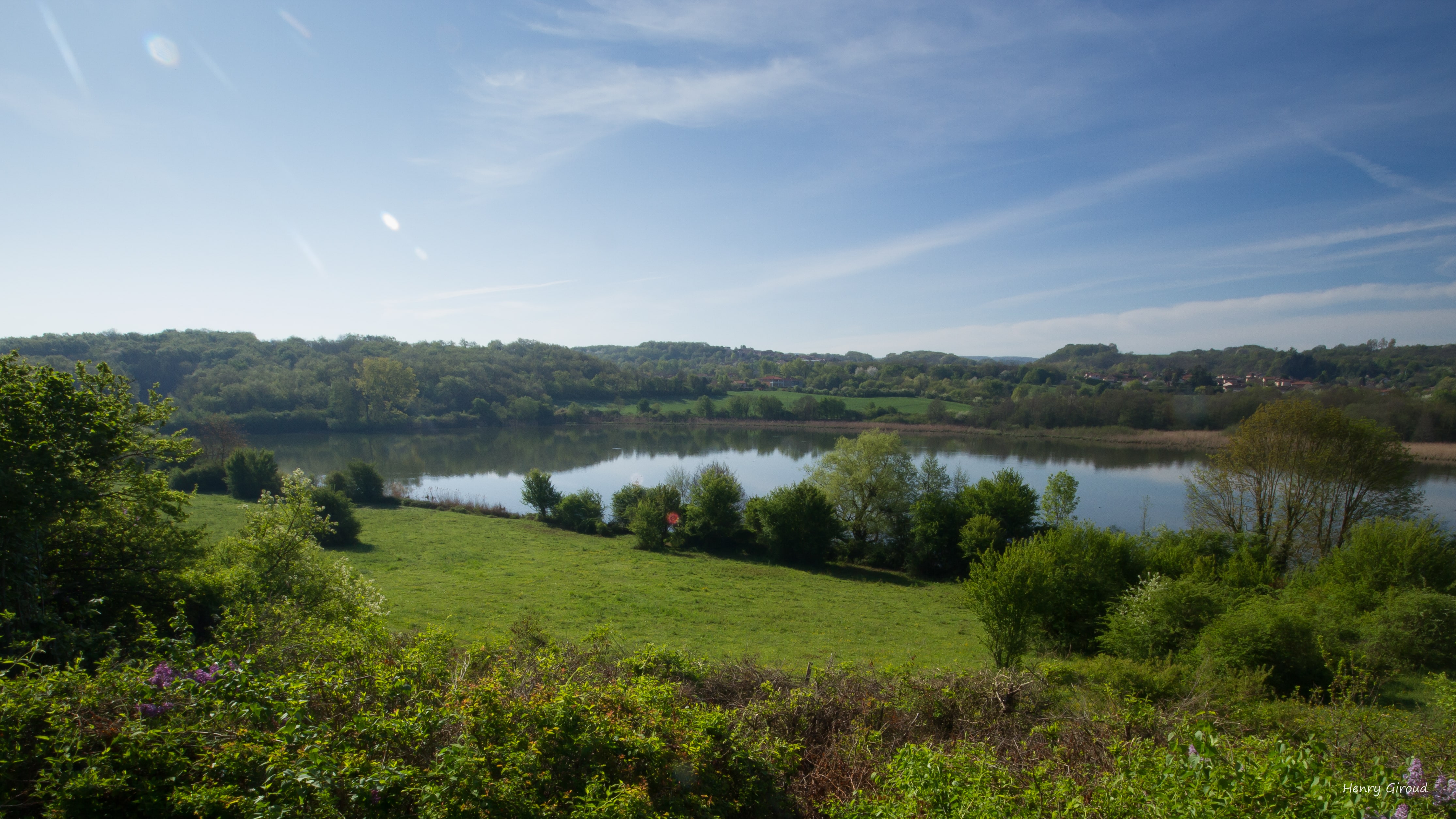
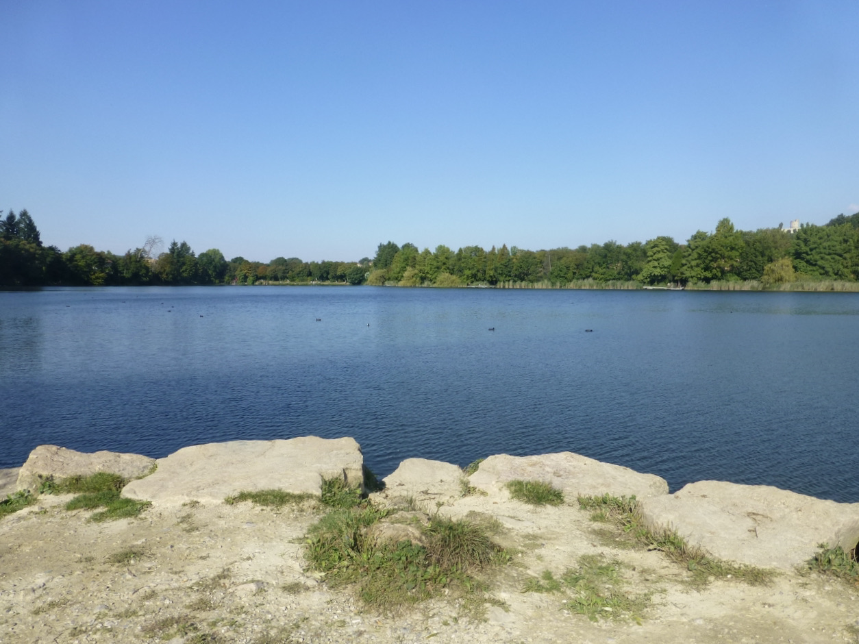
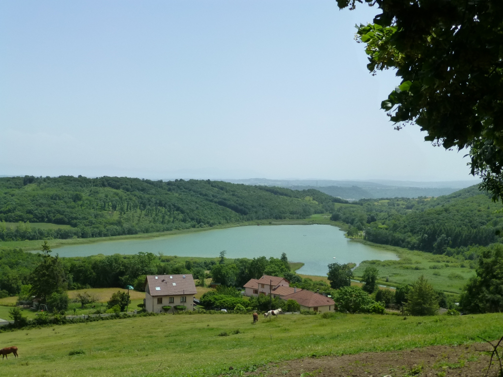
Here is a very nice walk in Moras, south of Crémieu. The route makes a loop around the Etang de Moras, mainly in the undergrowth, and follows a road for 500 meters.

Already more than 200,000 users!
Uphill
75m
Highest point
360m
Downhill
75m
Lowest point
299m
Route type
Loop
Download the map on your smartphone to save battery and rest assured to always keep access to the route, even without signal.
Includes IGN France and Swisstopo.
0 ratings
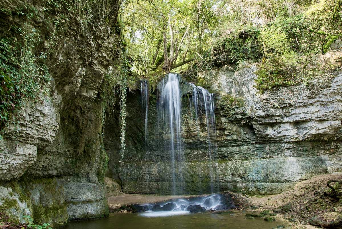
Also enjoy:

Already more than 200,000 users!