Uphill
140m
Length
12km
Duration
3h30min
Elev gain
140m
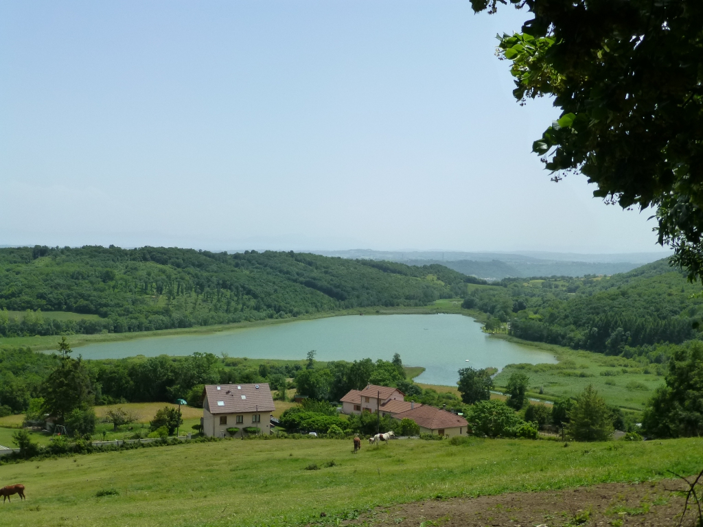
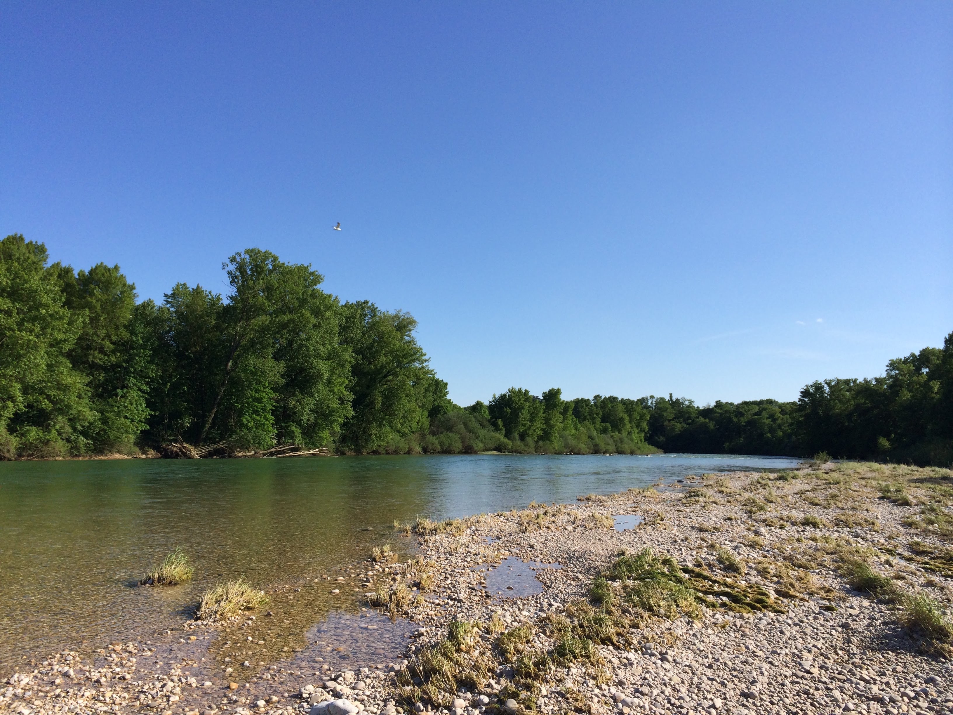
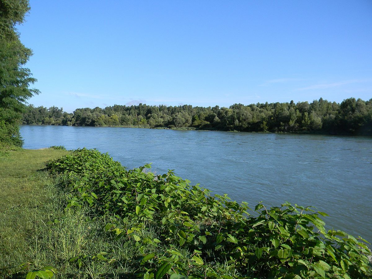
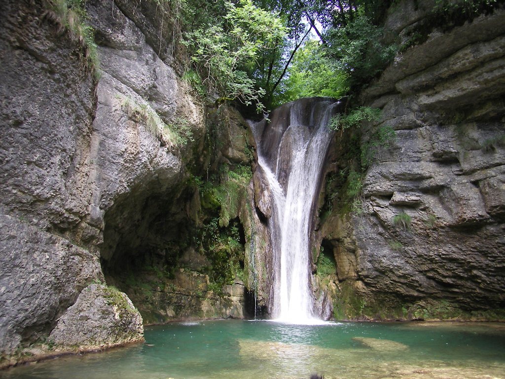
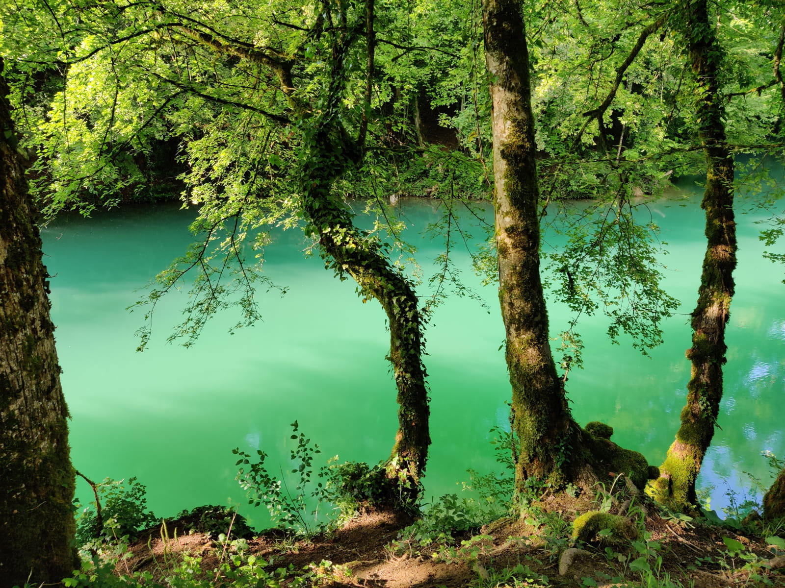
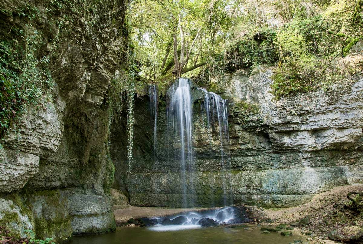
Walk to discover the Roche waterfall and the Isle Crémieu ponds. A few passages in forests, several water points, and a nice view of the surrounding mountains.
Note that the route takes tracks and roads.

Already more than 200,000 users!
Uphill
140m
Highest point
334m
Downhill
140m
Lowest point
250m
Route type
Loop
Download the map on your smartphone to save battery and rest assured to always keep access to the route, even without signal.
Includes IGN France and Swisstopo.
I indicate whether dogs are allowed or prohibited on this trail
All year
4 ratings
Also enjoy:

Already more than 200,000 users!