Uphill
7m
Length
7km
Duration
2h
Elev gain
7m
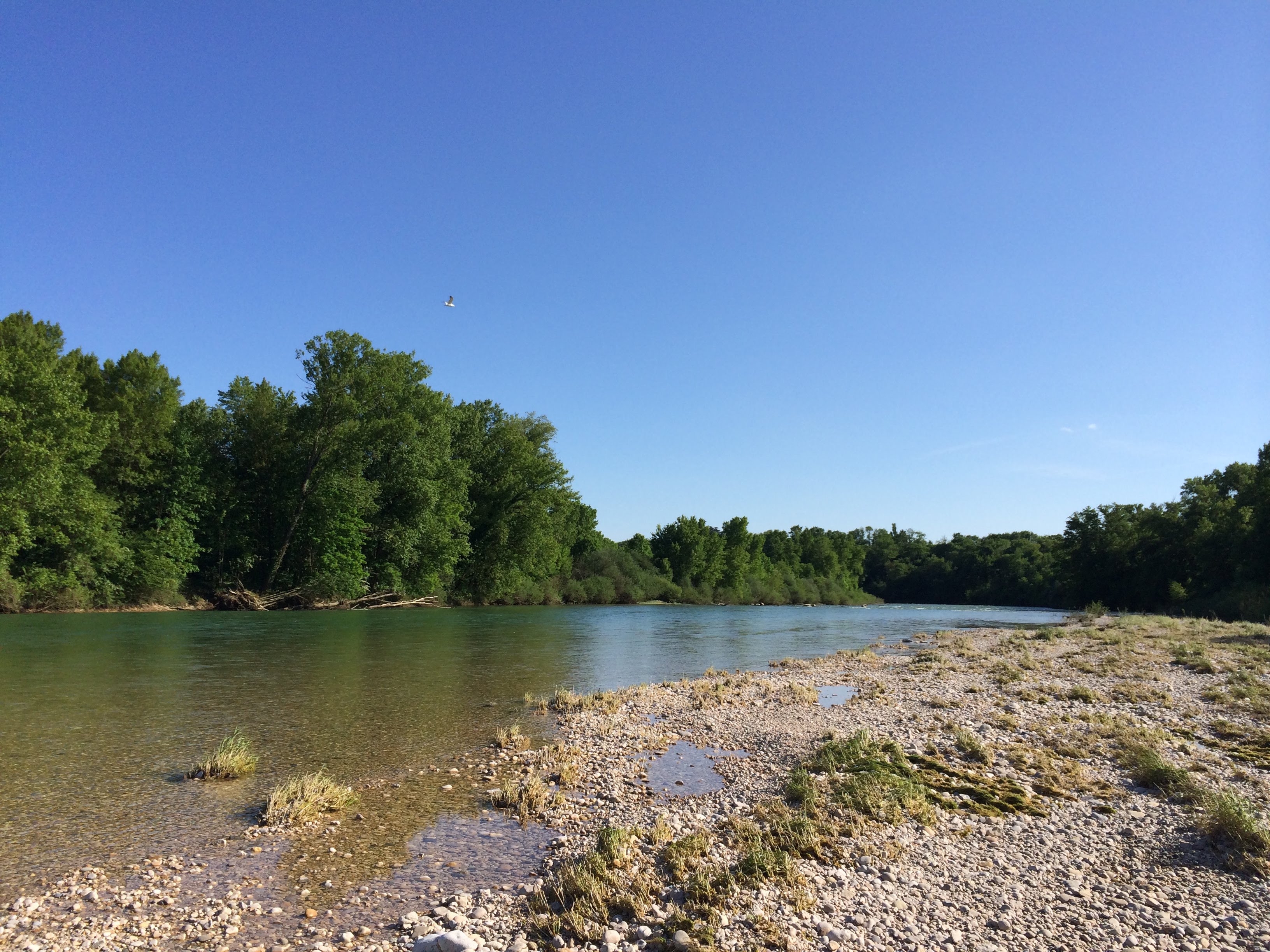
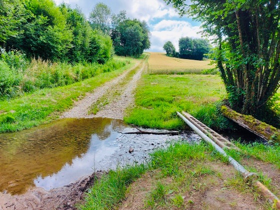
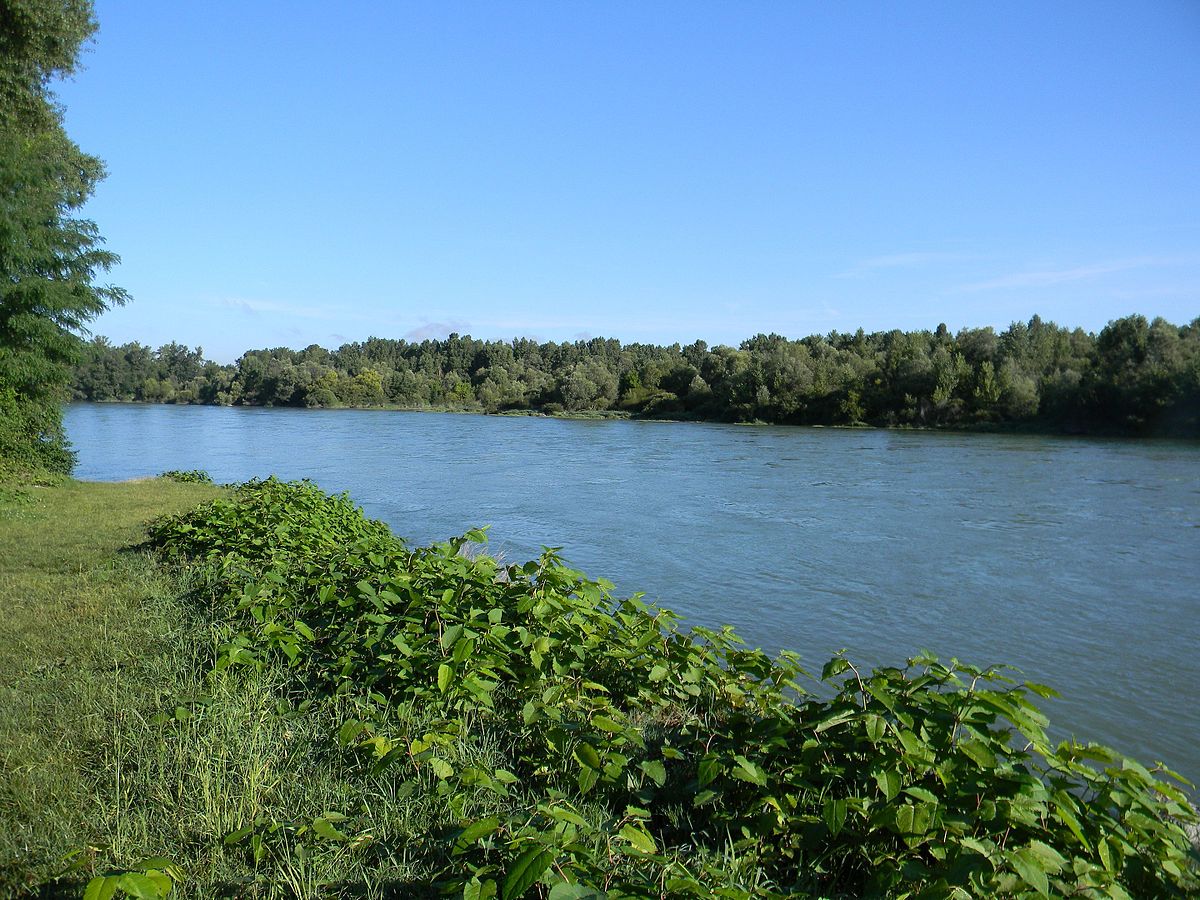
From Loyettes, this walk takes place on the banks of the Rhône until it reaches the confluence with the Ain. The return takes a short stretch of forest path before resuming the outward path.

Already more than 200,000 users!
Uphill
7m
Highest point
204m
Downhill
7m
Lowest point
188m
Route type
There and back
Download the map on your smartphone to save battery and rest assured to always keep access to the route, even without signal.
Includes IGN France and Swisstopo.
I indicate whether dogs are allowed or prohibited on this trail
All year
1 rating
Also enjoy:

Already more than 200,000 users!