Uphill
72m
Length
5km
Duration
1h30min
Elev gain
72m
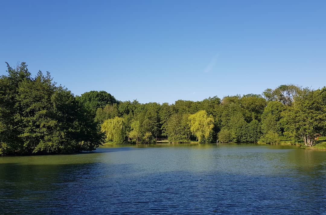
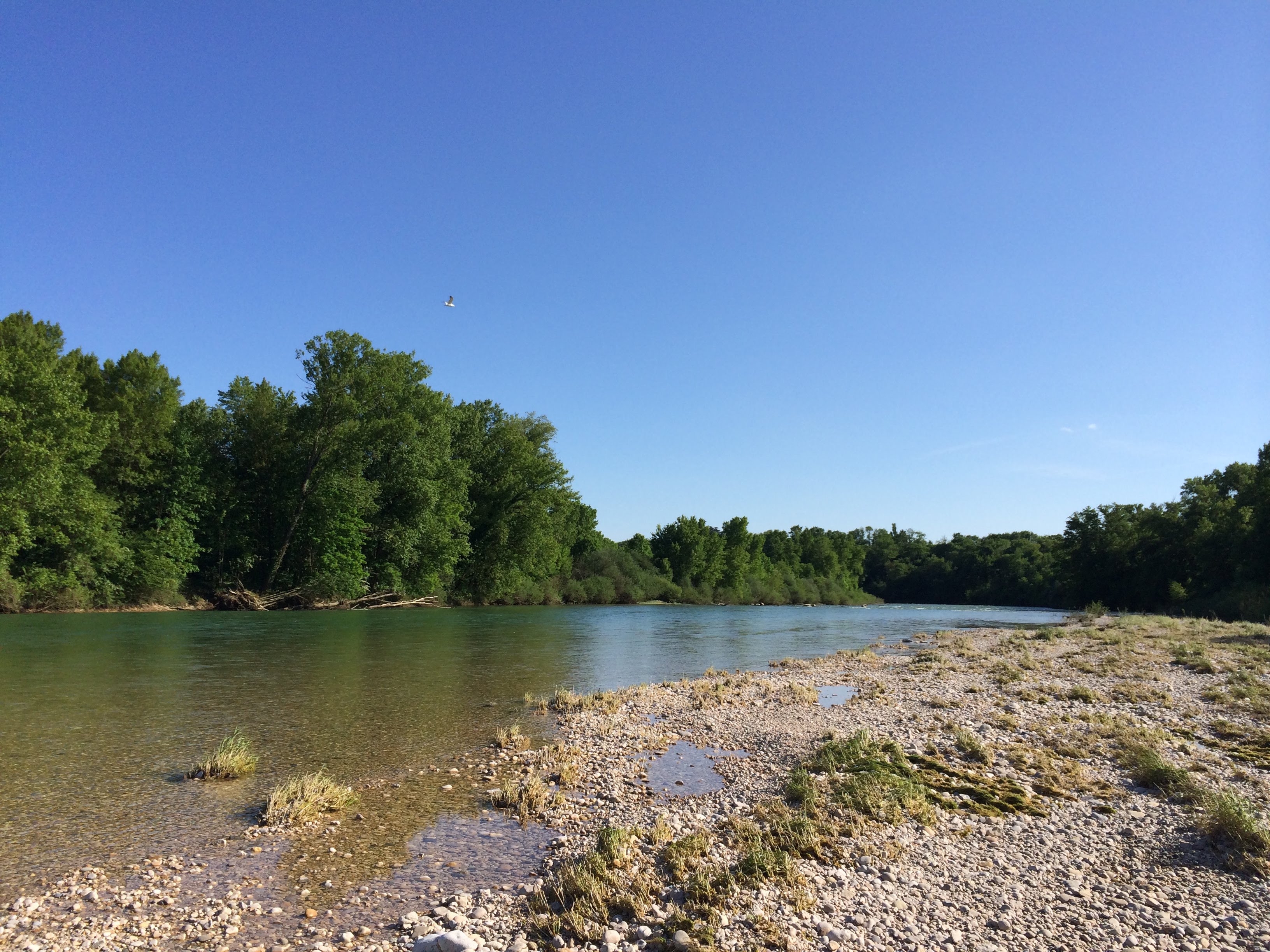
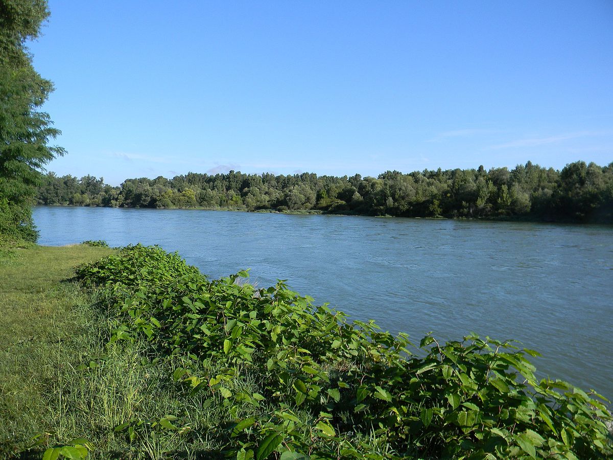
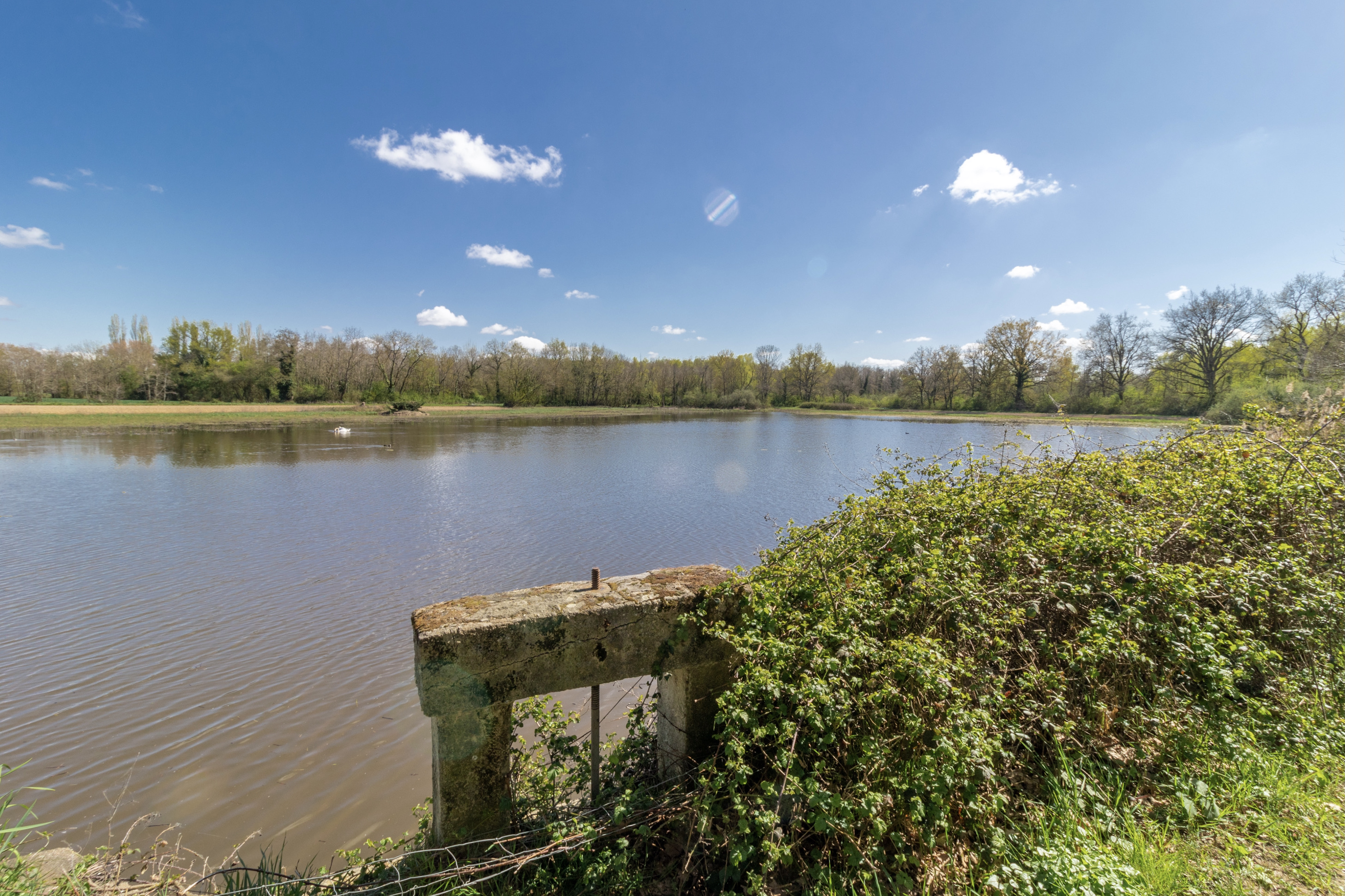
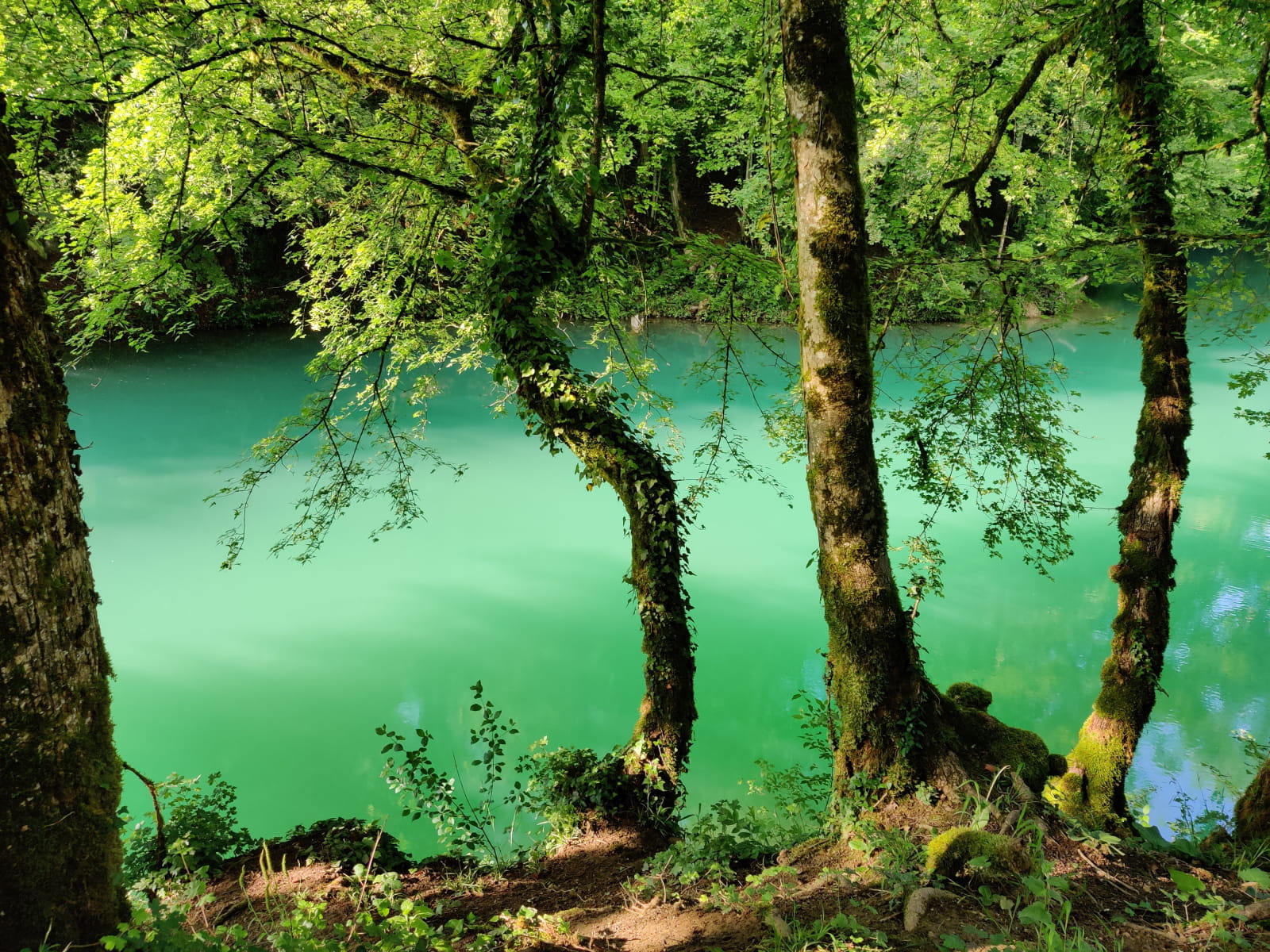
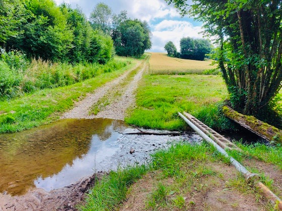
Nice little walk in the Aindin countryside, in the heart of the Dombes region. Leaving from Saint-Éloi, the route makes a beautiful loop and crosses the Longevent river twice.

Already more than 200,000 users!
Uphill
72m
Highest point
295m
Downhill
72m
Lowest point
249m
Route type
Loop
Download the map on your smartphone to save battery and rest assured to always keep access to the route, even without signal.
Includes IGN France and Swisstopo.
I indicate whether dogs are allowed or prohibited on this trail
All year
1 rating
Sentier très dépaysant au nord de Lyon pour une ballade facile en famille
Also enjoy:

Already more than 200,000 users!