Uphill
76m
Length
8km
Duration
2h
Elev gain
76m
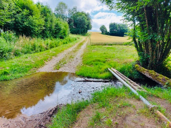
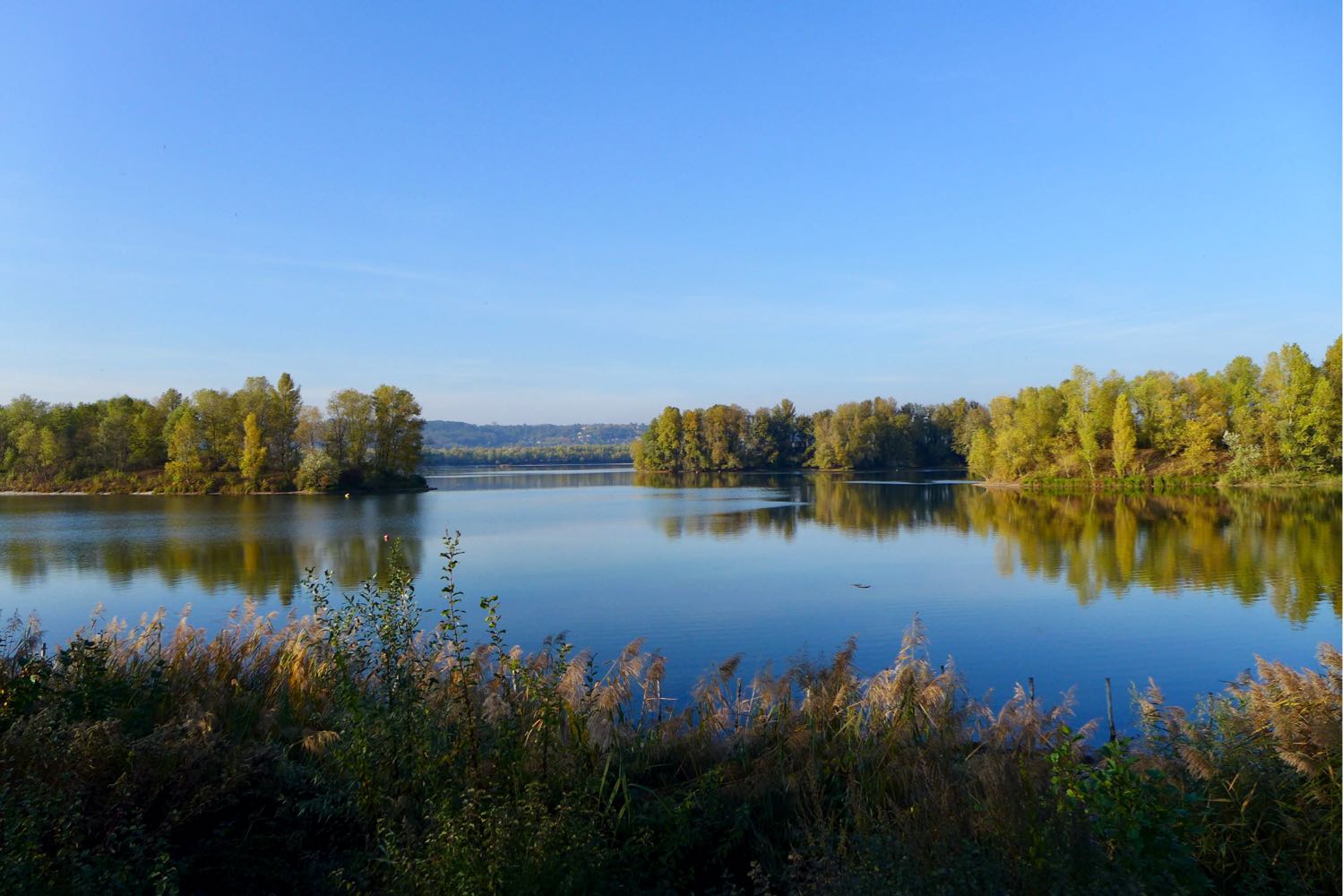
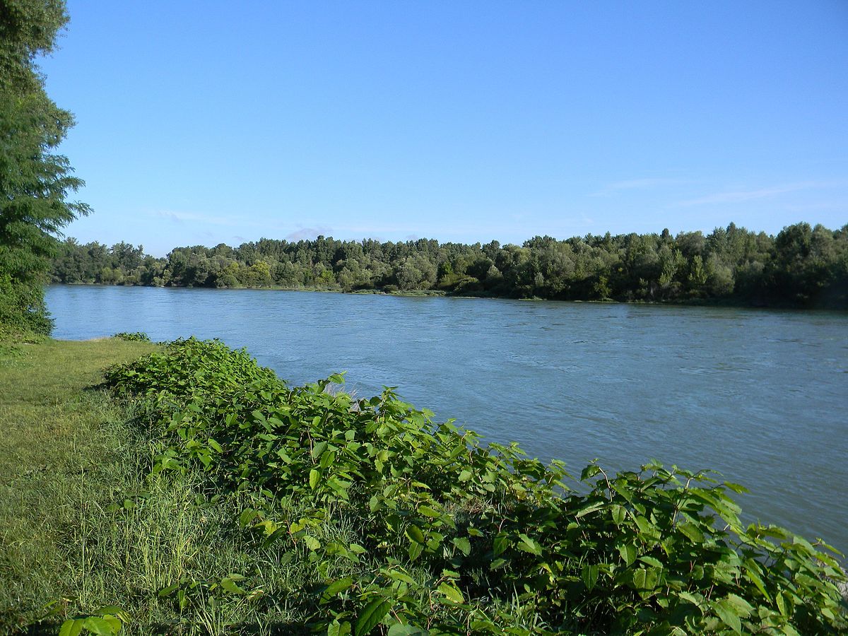
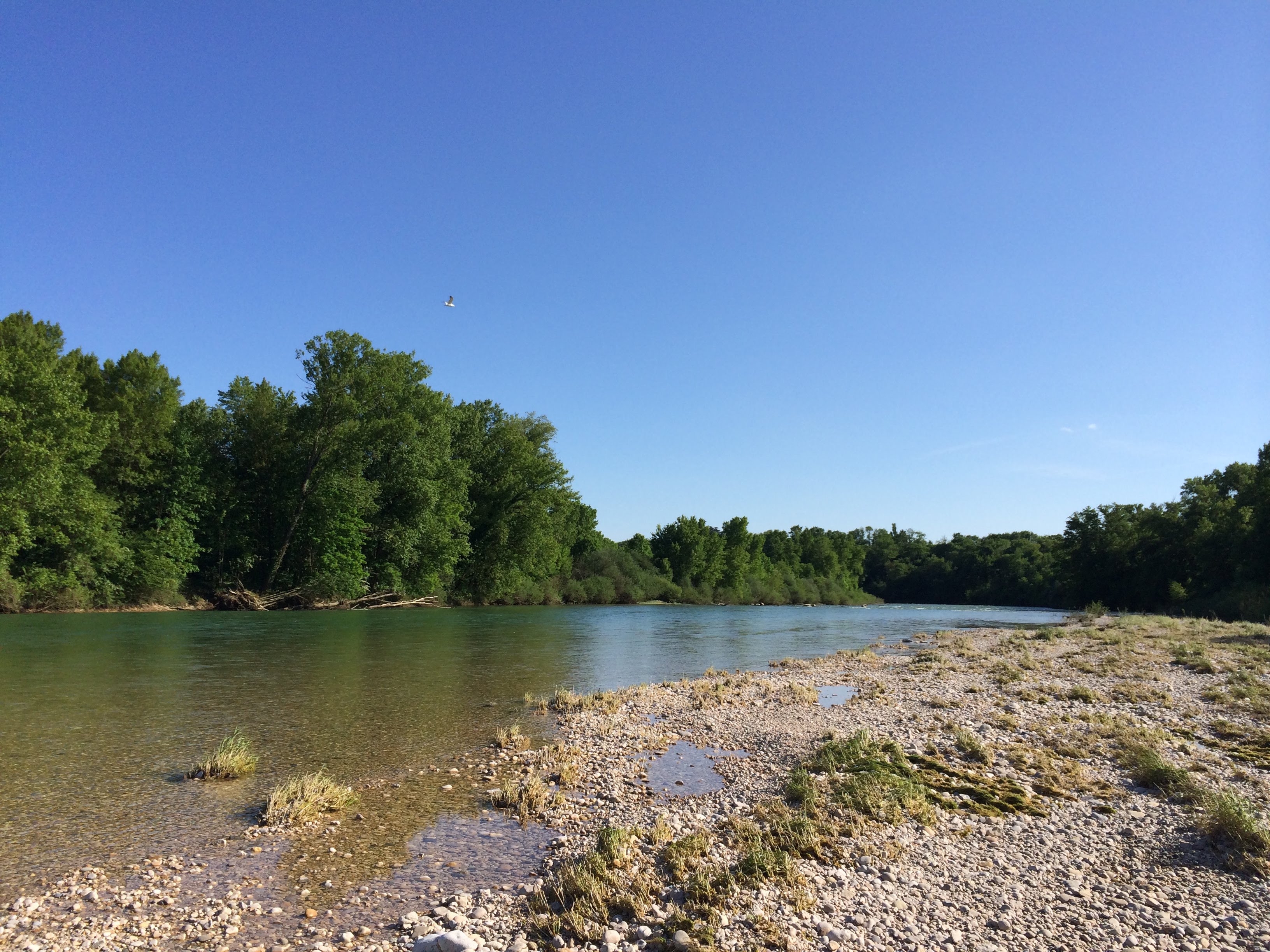
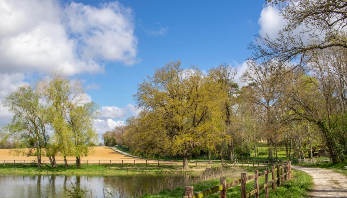
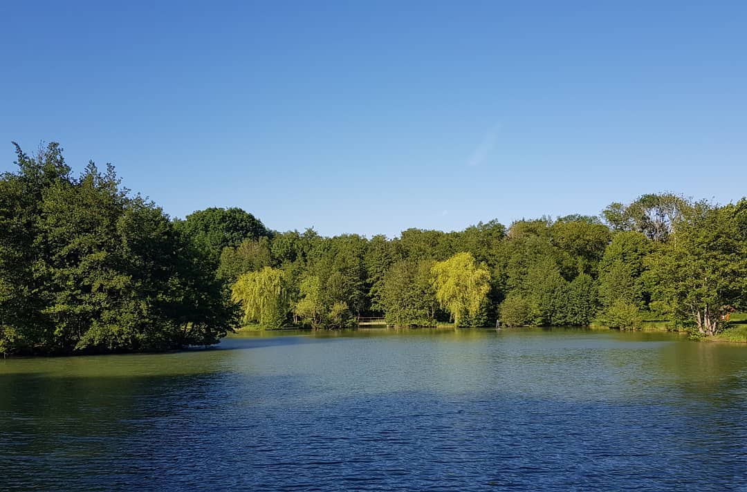
Departing from Lac Neyton, this walk takes you along the Cottey stream in the undergrowth. The return takes place on a plateau in the middle of the fields.

Already more than 200,000 users!
Uphill
76m
Highest point
284m
Downhill
76m
Lowest point
213m
Route type
Loop
Download the map on your smartphone to save battery and rest assured to always keep access to the route, even without signal.
Includes IGN France and Swisstopo.
I indicate whether dogs are allowed or prohibited on this trail
All year
2 ratings
Also enjoy:

Already more than 200,000 users!