Uphill
34m
Length
7km
Duration
2h
Elev gain
34m
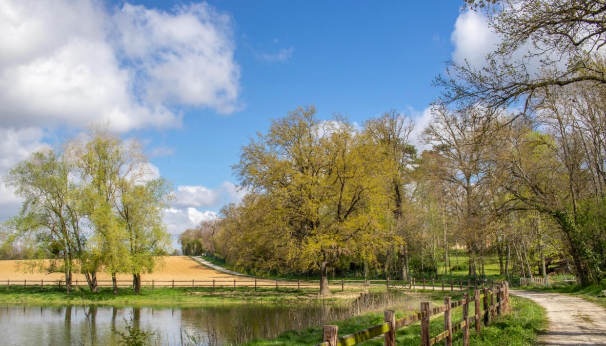
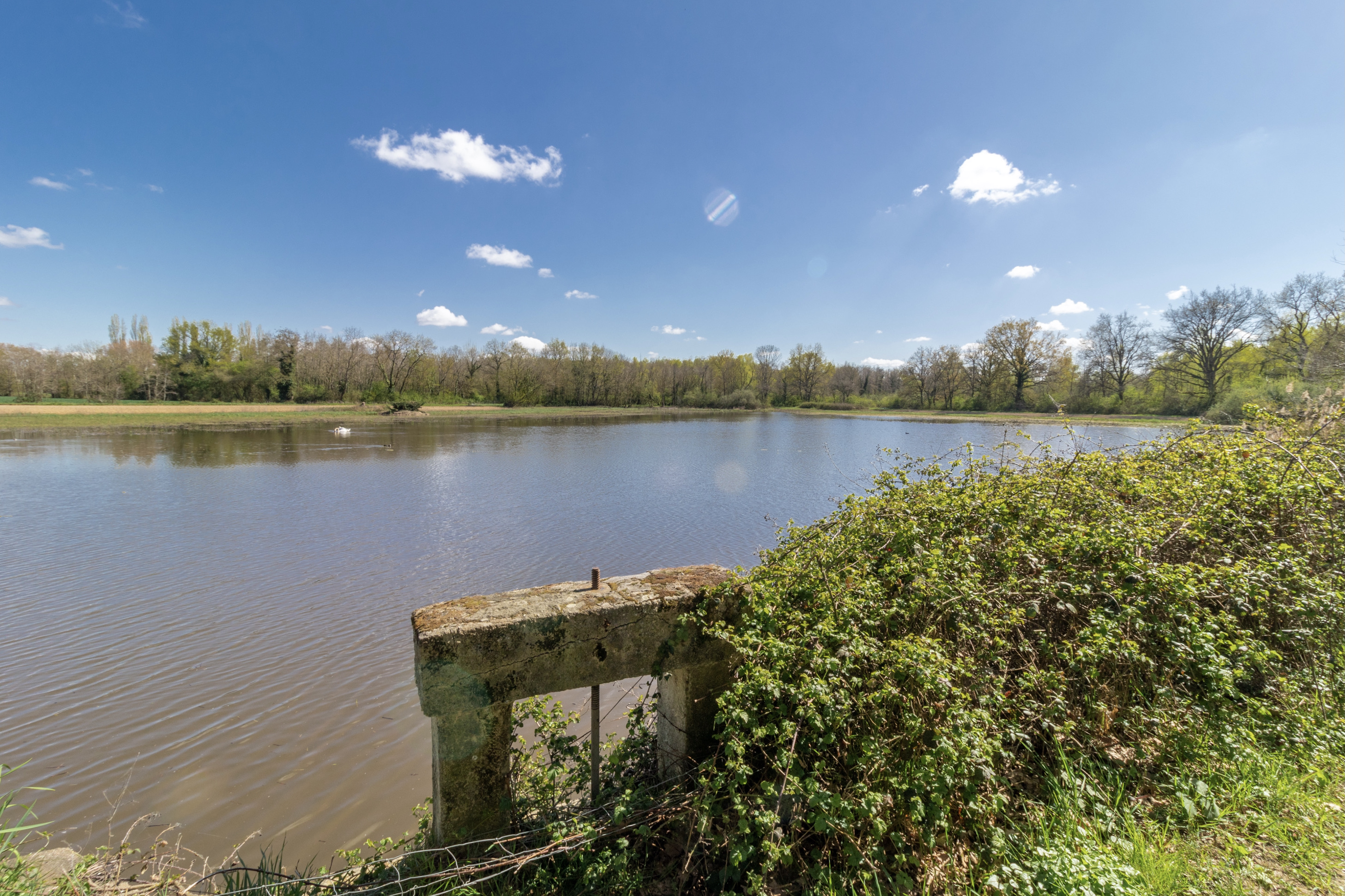
Departing from the Monthieux pond, this walk first joins the ponds of Vernange, Biscoux, and Rat, within the sensitive natural area of the Vernange estate. The path then follows small paths in the middle of the fields, to the pond Neuf, before returning to the starting point.

Already more than 200,000 users!
Uphill
34m
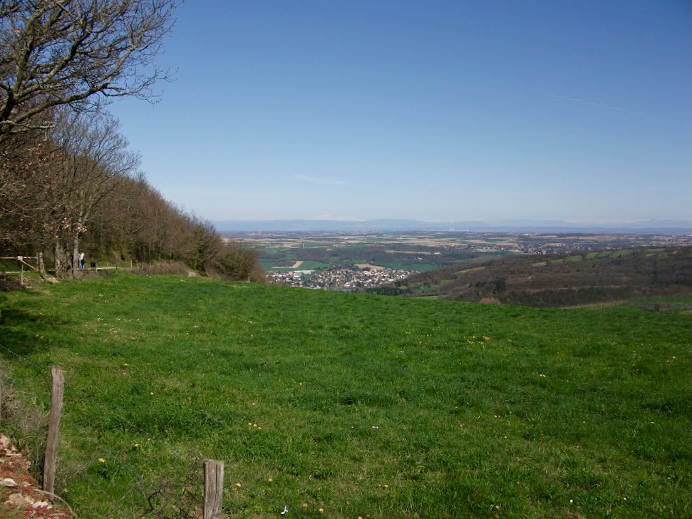
Highest point
303m
Downhill
34m
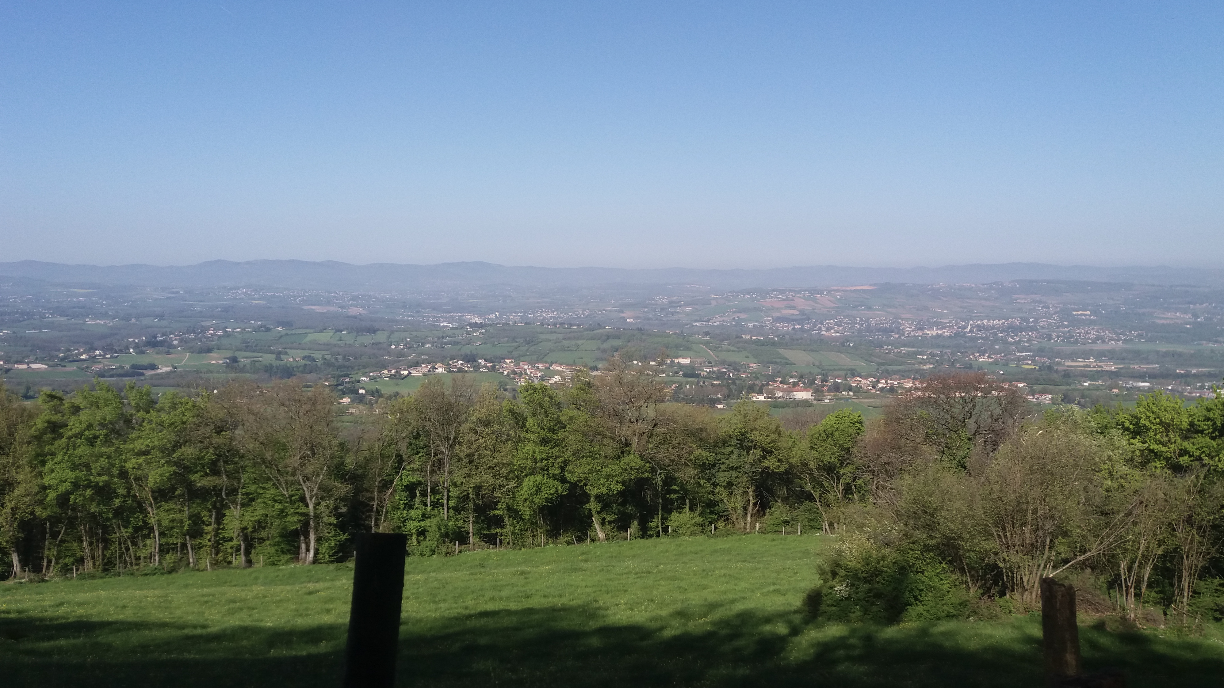
Lowest point
278m
Route type
Loop
Download the map on your smartphone to save battery and rest assured to always keep access to the route, even without signal.
Includes IGN France and Swisstopo.
2 ratings
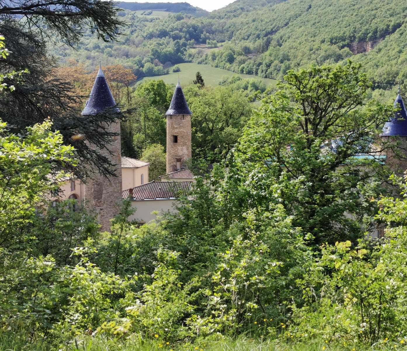
Also enjoy:

Already more than 200,000 users!